Unlike many GIS systems that require extensive training and technical expertise, Land id has an intuitive interface that makes mapping accessible to land owners with little to no GIS experience. Easily map and track your assets, accurately record key data points for your properties, and streamline collaboration with Land id®.
Creating maps for the properties you own or manage has never been easier. With Land id®, land owners can discover new potential investment opportunities using our intuitive interface and extensive database of property information. Discover the ultimate potential of your land by signing up for your free Land id® trial today.
I use the map all the time for everything from real estate work to my farm work for measuring fence lines etc, or deer hunting layouts etc. It's my go to map tool.
Lawrence Hegar Hegar Land Group
It is very easy to use and the layout is fantastic.
Chris Thomas
I use Land id to map out and manage 15 hunting blinds and feeders on our 3,600 acre deer lease.
Steve Holzwarth
Explore
Land Owner Features
Parcel Ownership and Data
Land id® is the best option for exploring and building parcel maps online that benefit from having the most extensive dataset available. Build maps faster and share them with your audience in minutes.
With Land id®, you can add as many panoramic images as you need to a map. Viewers will have the freedom to move around photos and zoom in and out as they learn about each area of a property.
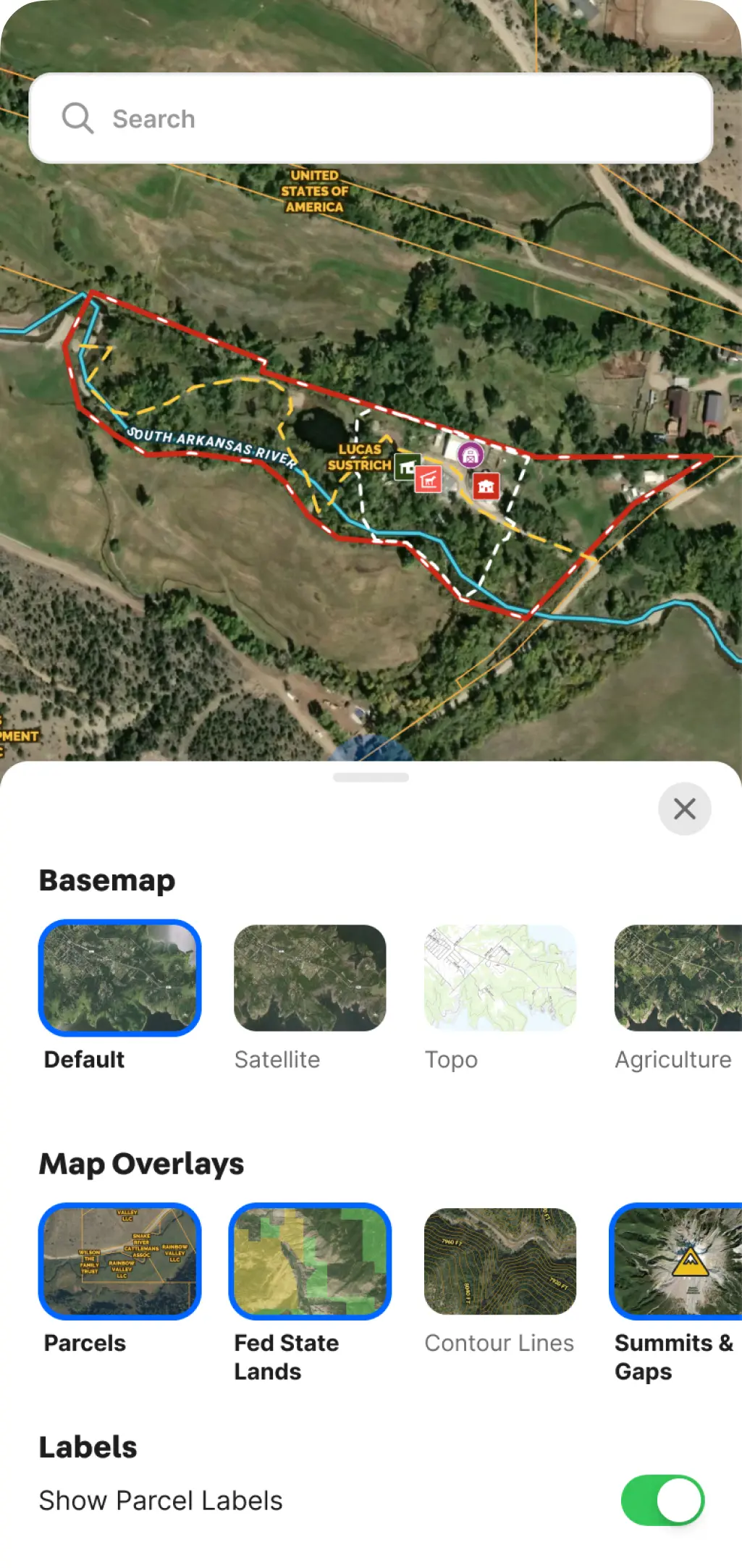
With tools like labels and icons, you can ensure that viewers spatially understand important elements of a property. Label fields, draw shapes, create land boundaries, and more with Land id® mapping tools.
By clicking “Accept All Cookies”, you agree to the storing of cookies on your device to enhance site navigation, analyze site usage, and assist in our marketing efforts. View our Privacy Policy for more information.