The area a home is located in determines a great deal for the people living there: where their kids can go to school, how long their commute is, what they do for entertainment… It’s no wonder that a 600 sq/ft. studio apartment in SoHo, New York can cost more than a 6-bedroom house in rural Indiana.
However, there is little that real estate professionals can do about a property’s location—it’s not like you can just build a thriving city around a property or change the region’s weather patterns. That’s why the three L’s of real estate (location, location, and our personal favorite—location) are so vital to the sale.
So, the question isn’t whether or not location is important in real estate—we know for a fact that it is—the real question is, what about a location makes it desirable? Of course, there’s no simple answer to that query—it’s multifaceted—but with the help of geospatial technology, finding a winning location doesn’t have to be a challenge.
What Makes a Location Desirable?
The Natural Environment
No one’s looking to get hypothermia, and no one’s trying to get heat stroke either. Sure, some people like the extremes, but most of us prefer to live in areas with relatively mild climates. So, the most desirable locations will have moderate temperatures, ample sunny days, and few extreme weather occurrences.
Proximity to mountains, national parks, beaches, lakes, rivers, etc. can also have a huge impact on what a home can sell for, as many buyers are willing to pay top dollar for a scenic view and accessibility to outdoor entertainment.
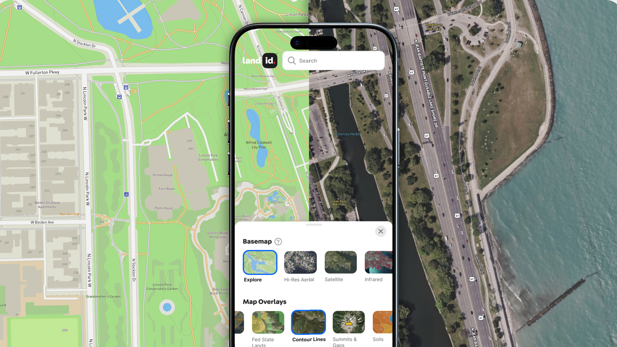
With a mapping program powered by geospatial technology, you can add GIS data for any natural feature that could impact the price of a property—temperatures, annual precipitation, water features, national parks, elevation, mountain ranges, you name it. By layering this information, finding locations that meet all of your environmental requirements is easy.
A Strong Market
Most buyers are also looking to purchase a home in an area that’s on the upswing.
If people are flocking to an area rather than rushing to leave, that could be a great place to expand your services, especially considering that population growth often correlates with increased investment in the region. Similarly, look for areas with booming job markets. This will not only help prospective buyers find employment once they move, but indicates that the area is growing in terms of wealth, stability, etc. And of course, one of the most obvious signs a market is strong is if home values are increasing. As a real estate agent, why wouldn’t you want to be working somewhere where you can get a bigger commission?
With Land id® (formerly MapRight), you can add a layer for any data you choose, including population trends, unemployment rates, and even home values. By adding a layer to your map for each of these factors, you can ensure you’re investing your services in an up-and-coming region—one that buyers will find desirable, and one that can provide you with a great commission for each sale.
Low Crime
Mature cities with little room for additional development tend to be highly sought after; there’s high demand and low supply. However, not all cities will be equally desirable. Low crime rates, for instance, are incredibly important to many, especially those raising (or planning on raising) families. Luckily, you can upload and add crime rate data and other aspects of city life directly to your Land id map, allowing you to show your buyers they’re investing in a home in a safe place.
A Good Neighborhood
The neighborhood may just be the most important factor in a home’s location, particularly when it comes to school districts. In 2022, Millennials made up 43% of all home buyers—the most of any generation—and many of these Millennials are looking for a good place to start a family.
But, school districts aren’t the only factor that impacts the desirability of a neighborhood. People also want an area that’s aesthetically pleasing (full of trees and good landscaping), has strong amenities, and is chock-full of entertainment options—never underestimate the power of great food, safe movie theaters, and thriving shopping centers.
With geospatial technology, you can add a layer for school districts, shopping centers, or even the number of trees. By visualizing this data, you’ll not only find prime neighborhoods to expand your services into, but you’ll also be able to showcase what sets a neighborhood apart for potential buyers.
Accessibility
Accessibility is another factor that can’t be overlooked; no one wants to commute three hours to work every day. Easy access to public transportation, transit routes, and protected bike lanes will make a huge difference in a homeowner's daily life.
Luckily, with geospatial technology, you can locate any major transportation route you need (train stations, highways, bus stops, etc.) and even get driving directions to key locations to prove how easy it will be for buyers to travel to and from home.
Prime Lot Location
Accessibility is a double-edged sword, though. While the ability to hop on the highway in a matter of minutes is certainly a plus, lots located right off busy roads and highways tend to be noisy and congested, which isn’t all that desirable. The same holds true for lots located close to public amenities or commercial buildings, as parking could end up being a nightmare for the homeowner. So, it’s best to find areas that can easily get to major roads and amenities, but aren’t too close.
Assessing Locations With Land id’s Geospatial Technology
When we can add a map layer for every relevant quality homebuyers are looking for, the benefits of a given area become apparent, and highlighting those benefits for buyers becomes a breeze. With Land id’s geospatial technology, you can add as many layers to your map as you choose, upload custom datasets, organize your data with customizable labels, and even share your finished maps with prospective homebuyers over email, text, your website, or the Land id app.
So, are you ready to find a highly desirable area to bring your real estate services to (or learn more about the area you currently specialize in)? Sign up for your free trial of Land id today!
FAQs

Continue Reading


