![An aerial image of a farm field.](https://cdn.prod.website-files.com/63c95e5d2e1ac67354777789/640bf4b06976aaace02cdddc_Background%20Image-agriculture.webp)
Agriculture
Land id™ is a GIS mapping product that empowers users in agriculture with the ability to create precise maps and data-driven insights. Experience a game-changer for agricultural mapping with our user-friendly interface.
Learn more![Property on an open land with white vehicles](https://cdn.prod.website-files.com/63c95e5d2e1ac67354777789/640bf1ca2c7bed512df30abd_Background%20Image-appraisers.webp)
Appraisers
Discover the powerful tool that allows land appraisers to create custom maps of properties, assess soil health, and gather data for informed decision-making. Streamline your workflow and organize your assets with Land id™.
Learn more![Open field of grass and dirt](https://cdn.prod.website-files.com/63c95e5d2e1ac67354777789/640bbb57de41c8006e9b89a9_Background%20Image-discovery%20land.webp)
Discover Land
Land id™ is an excellent resource for exploring land. Discover the most extensive, up-to-date property boundary and ownership information across all 50 states and over 140 million private properties.
Learn more![An aerial image of construction equipment in use](https://cdn.prod.website-files.com/63c95e5d2e1ac67354777789/640befc722ac7f4a3125628a_Background%20Image-engineering.webp)
Engineering
Modern engineering projects benefit from advanced, user-friendly GIS mapping applications, like Land id. Manage your project data, and turn it into intuitive reports and plans with a single interactive map.
Learn more![sky view of the forest](https://cdn.prod.website-files.com/63c95e5d2e1ac67354777789/640bef2dc581ea794ebf1eb7_Background%20Image-forestry.webp)
Forestry
For forestry professionals, Land id™ offers efficient and precise mapping tools for land management. Create custom overlays for tracking and analysis for forest inventory, wildlife habitat monitoring, and more.
Learn more![Sky view of roads and intersections](https://cdn.prod.website-files.com/63c95e5d2e1ac67354777789/640bb147ad1bc35a710f13f5_Background%20Image-government.jpg)
Government
Whether you’re involved in development, parks and recreation, utilities and infrastructure management or city management, GIS tools streamline operations to save valuable time, money and resources.
Learn more![An aerial image of a farm field.](https://cdn.prod.website-files.com/63c95e5d2e1ac67354777789/640bf53476d5c0c48e539daa_Background%20Image-land%20owners.webp)
Land Owners
Create custom, detailed maps for all of your properties, no matter your background or experience in GIS. Overlay property deeds, view tax history, and map out the highlights of your assets with Land id™.
Learn more![aerial open colorful field](https://cdn.prod.website-files.com/63c95e5d2e1ac67354777789/640bbe6273e7530d5f02fab9_Background%20Image-renewable.webp)
Renewable Resources
Map out your wind and solar farms: identify and analyze all of your assets, protect yourself from accidental regulatory violations, and streamline your renewable energy mapping efforts with Land id™.
Learn more![](https://cdn.prod.website-files.com/63c95e5d2e1ac62c14777764/63d810bc2bce520296b5db4f_Topo%20Lines.webp)
![](https://cdn.prod.website-files.com/63c95e5d2e1ac62c14777764/64a6e505e9b2f92d54c39150_app-store-ad-phone.jpg)
![](https://cdn.prod.website-files.com/63c95e5d2e1ac62c14777764/63cb0a98d7632e4b432aaf94_Topo%20Map%202.webp)
Real Estate, Agriculture, Appraisers, Forestry & More
Trusted by Over 10,000 Professionals
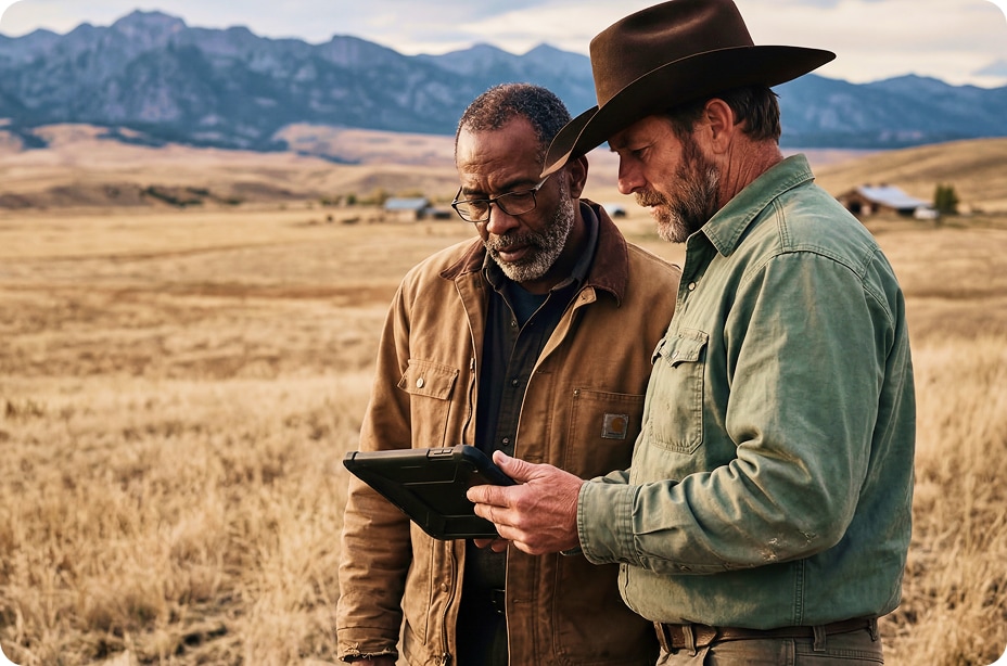
Land id is used by professionals in agriculture, Engineering, Forestry, Brokers, Appraisers, & other industries.
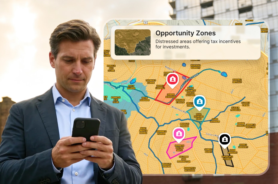
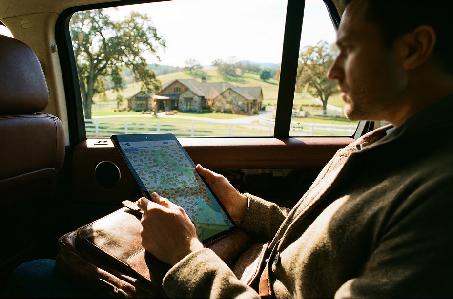
![Arrowhead-Land](https://cdn.prod.website-files.com/63c95e5d2e1ac67354777789/6441a739e32c90aff68ec687_arrow.png)
![Berkshire Hathaway Home Services](https://cdn.prod.website-files.com/63c95e5d2e1ac67354777789/63ceb0d8e0b7bf64188a931f_Client%20Logo__Berkshire%20Hathaway.png)
![Caprock](https://cdn.prod.website-files.com/63c95e5d2e1ac67354777789/644303bb1289591a36ad03e8_caprock.png)
![Coldwell Banker](https://cdn.prod.website-files.com/63c95e5d2e1ac67354777789/6441a7721e25533988b0745e_cb.png)
![Engel & Volkers](https://cdn.prod.website-files.com/63c95e5d2e1ac67354777789/6441a7ade69aad4bea894252_engel.png)
![Fay Ranches](https://cdn.prod.website-files.com/63c95e5d2e1ac67354777789/63ceb0cbea260c685ee79592_Client%20Logo__Fay%20Ranches.png)
![Hall and Hall](https://cdn.prod.website-files.com/63c95e5d2e1ac67354777789/6441a7d8ede2e61949aa2489_hall.png)
![M4](https://cdn.prod.website-files.com/63c95e5d2e1ac67354777789/6441a7fec253b4610d8d8430_m4.png)
![Mossy Oak](https://cdn.prod.website-files.com/63c95e5d2e1ac67354777789/6441a8ebe99eb55be9c628e3_mossy.png)
![National Land Realty](https://cdn.prod.website-files.com/63c95e5d2e1ac67354777789/6441a9357252145349099a1a_nat%20land.png)
![Saturn Power](https://cdn.prod.website-files.com/63c95e5d2e1ac67354777789/644303cac9e31719f4cf0086_saturn%20power.png)
![Sotheby's International Realty](https://cdn.prod.website-files.com/63c95e5d2e1ac67354777789/63ceb0b893edd4eebd85ab10_Client%20Logo__Sotheyby%27s%20International%20Realty.png)
![United Country Real Estate](https://cdn.prod.website-files.com/63c95e5d2e1ac67354777789/6441a970d13db8eb7d481d62_united.png)
![reNRG](https://cdn.prod.website-files.com/63c95e5d2e1ac67354777789/6441ba1758d41699b4f0d510_reNRG.png)