


Land Trusts
Land id helps you obtain and benefit from land trusts.
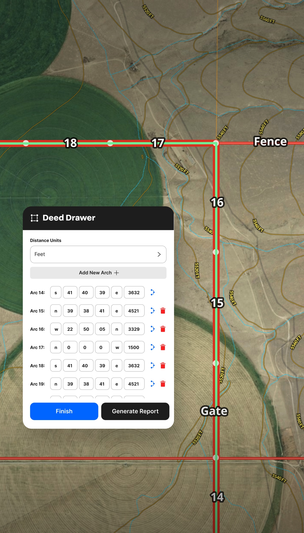
- Create legal baseline maps.
- Document why a property deserves conservation status.
- Monitor easement compliance.


Whether you're creating baseline documentation for land trusts, managing public land use, monitoring property changes for compliance, or communicating right-of-way projects, Land id’s platform delivers a better workflow.
Conservation and government mapping projects can span years, stakeholders, and site visits. Use Land id for land use planning to keep documentation accurate, communication clear, and records complete—from property assessment to compliance check.
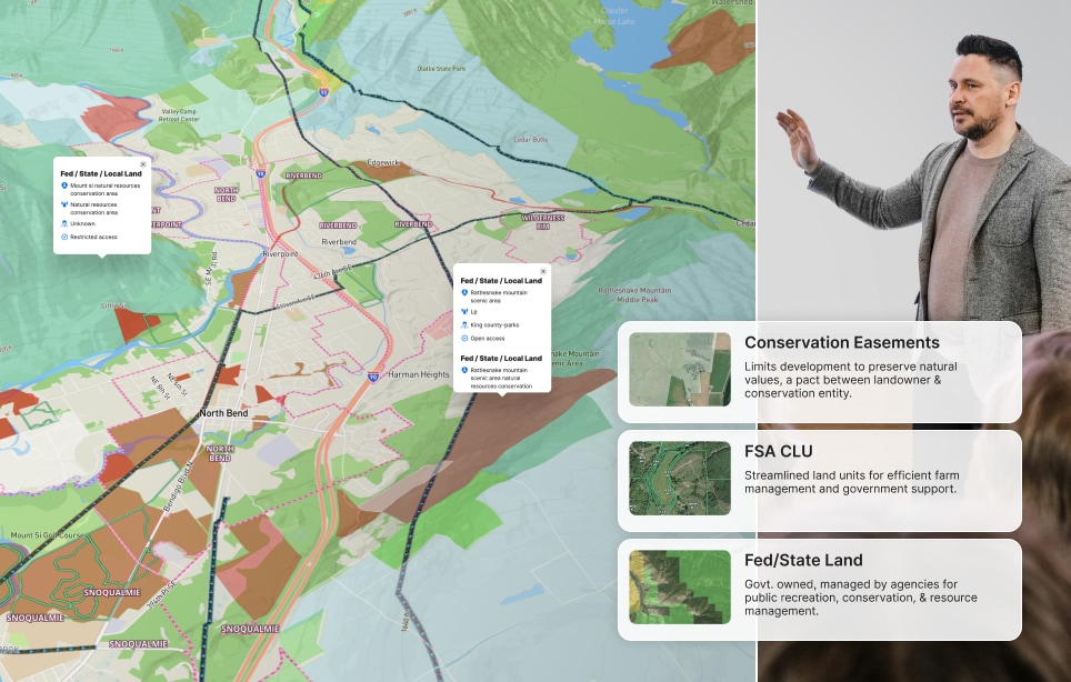
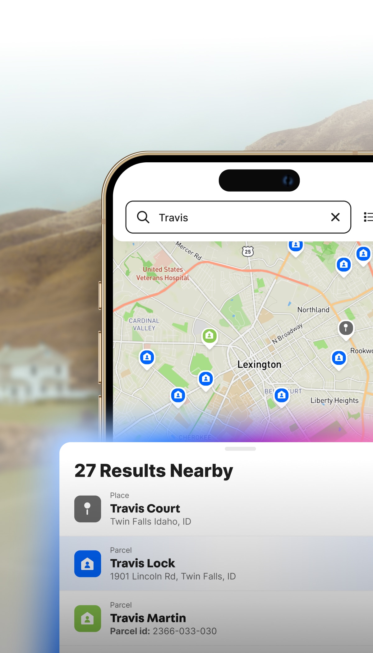
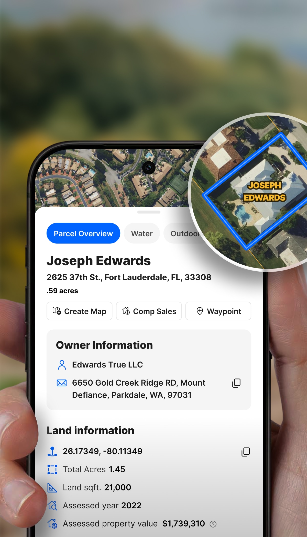
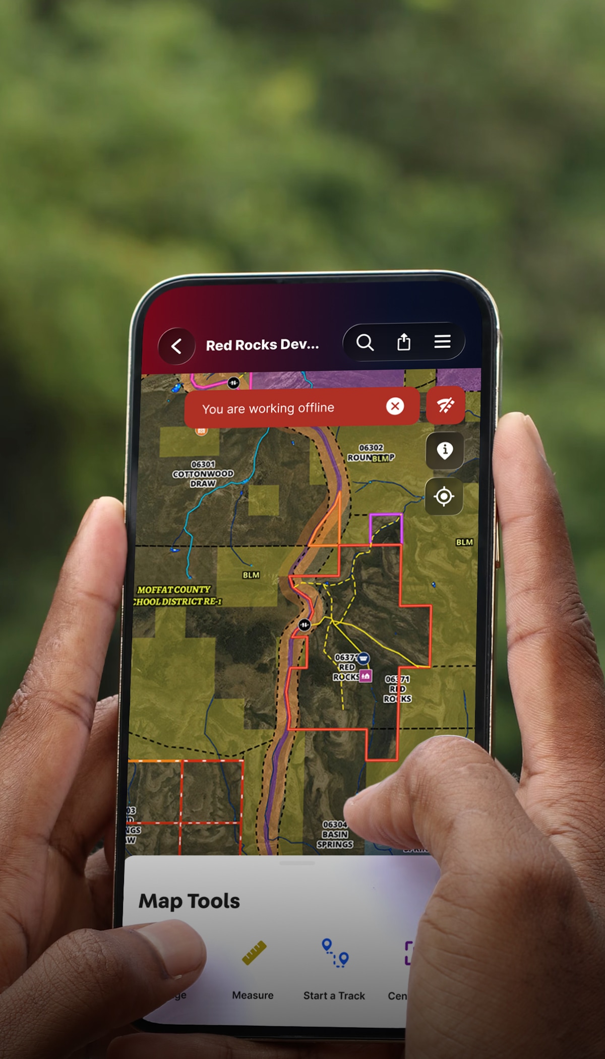
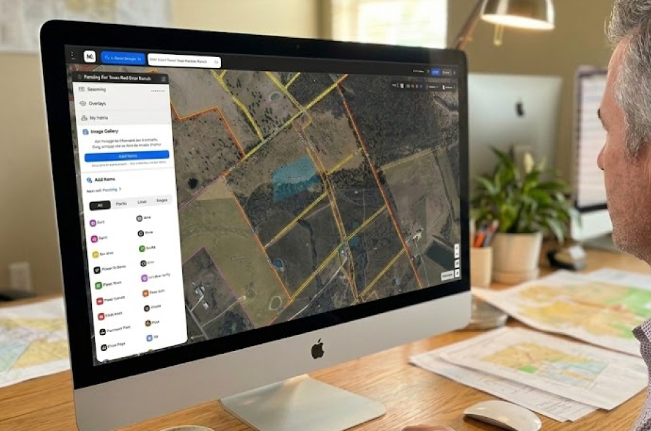
Use Land id's parcel data and mapping tools for accurate documentation, streamlined monitoring, and easy sharing without the cost or complexity of GIS software.
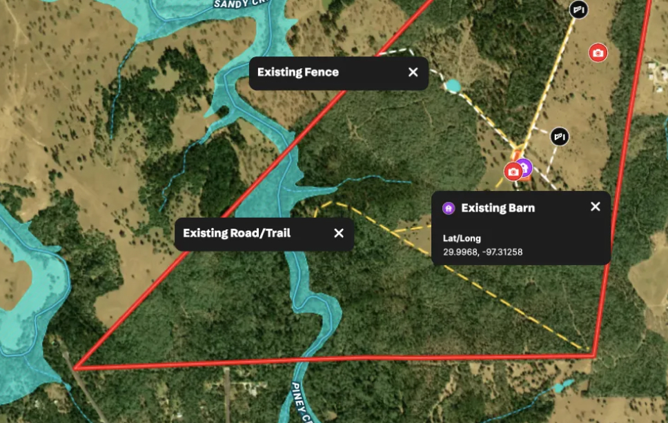
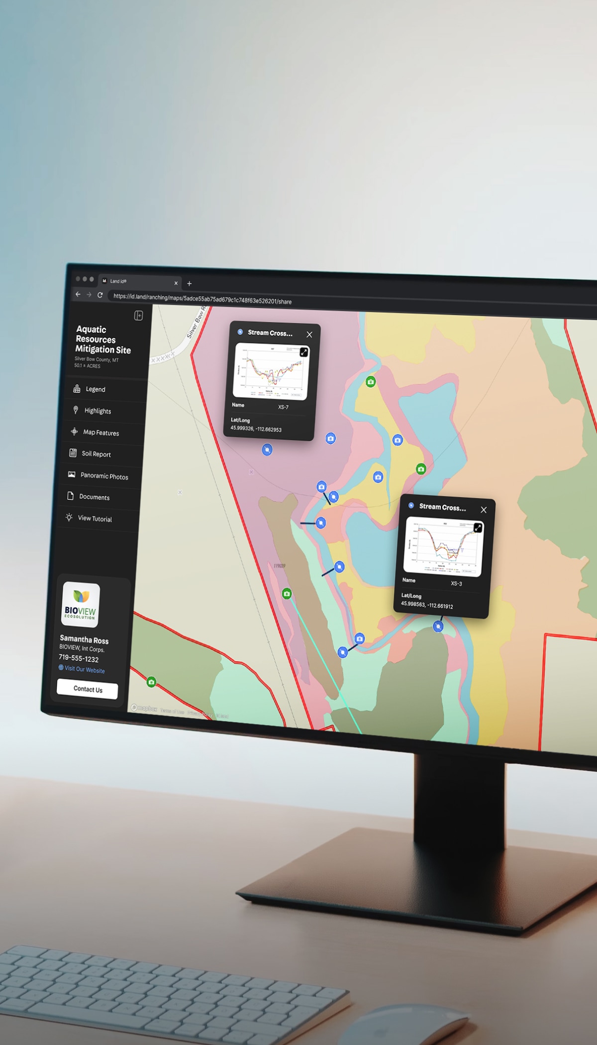
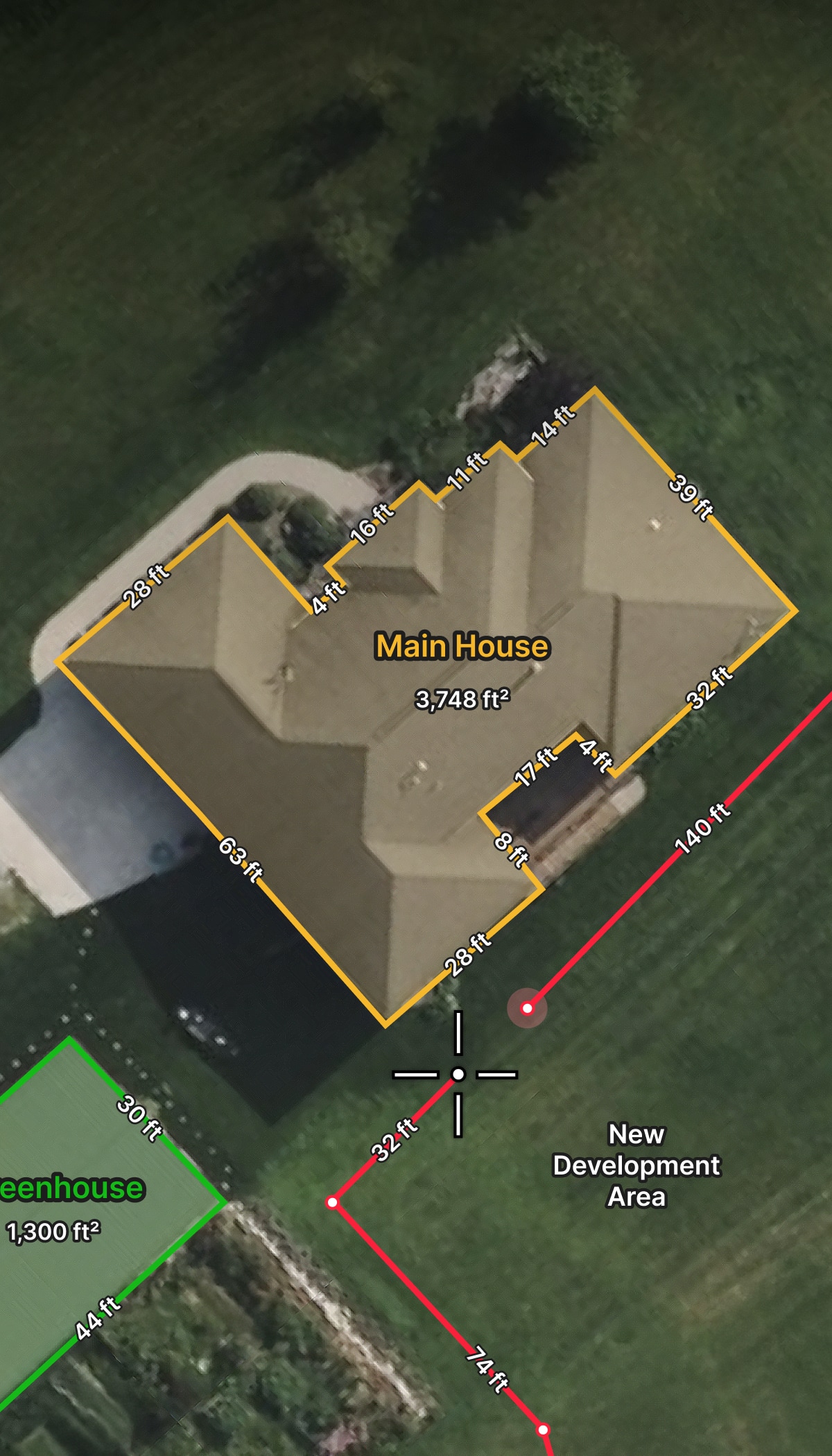
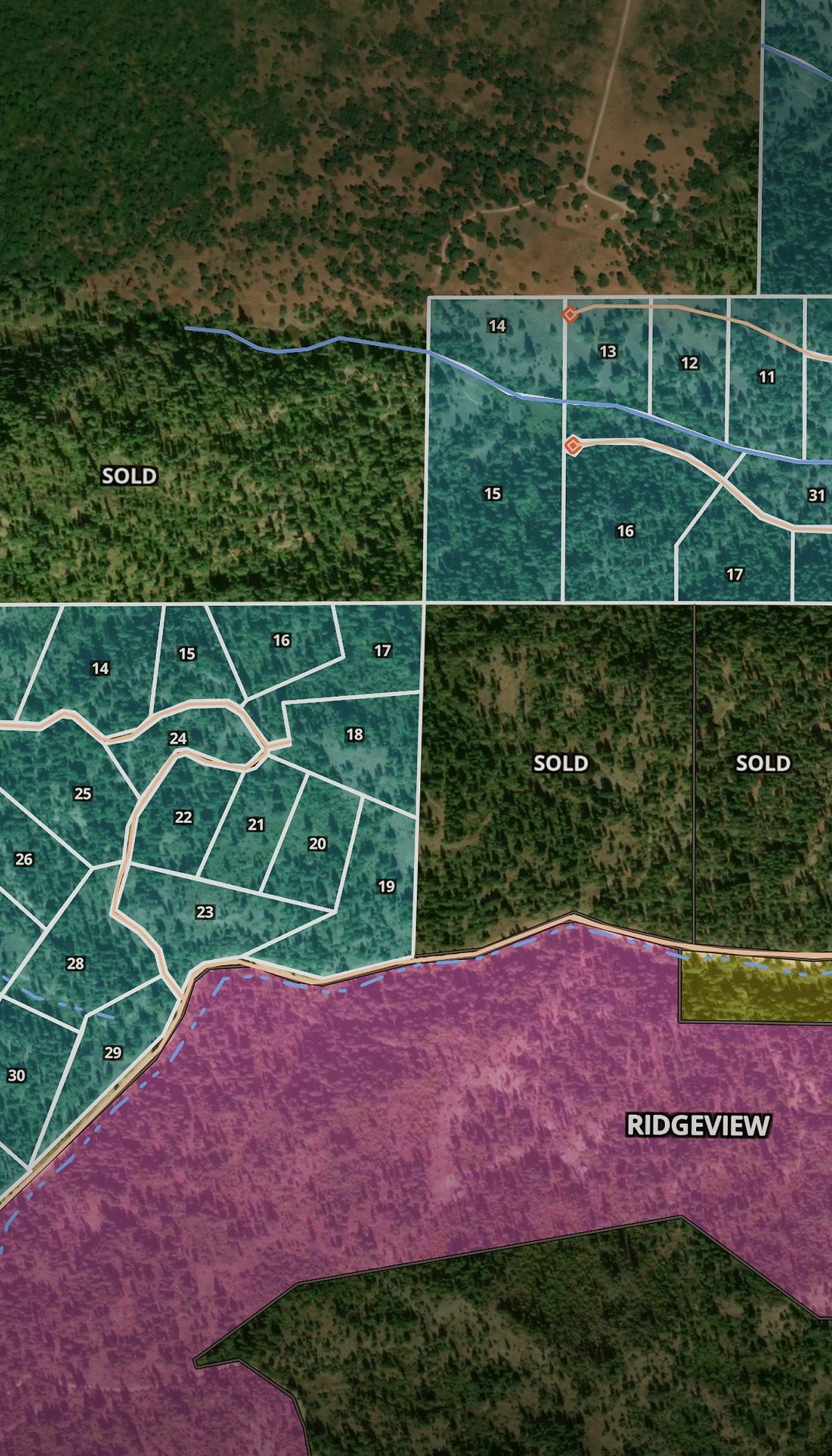
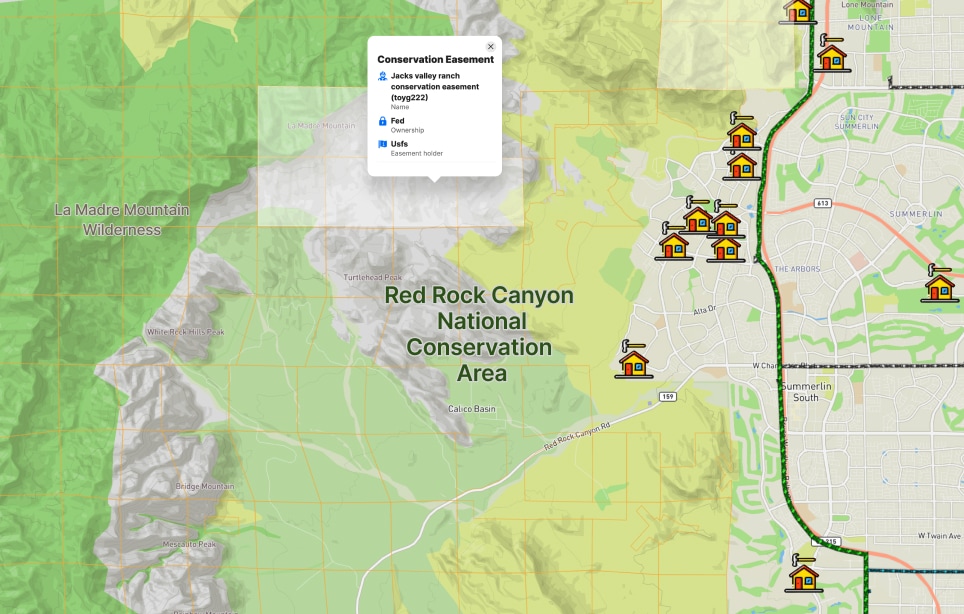
Baseline documentation is a legal mandate to establish a land trust. Use Land id to map existing infrastructure, building envelopes, natural resources, and monitoring points.
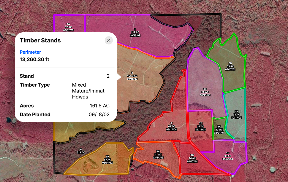
From timber harvesting to fire management to wetlands restoration, Land id helps conservation and government pros make a stronger case and get to approvals faster.
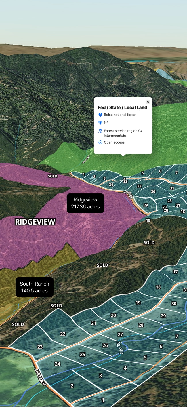
Visually track changes, flag issues, and keep your stewardship records accurate across properties, year after year. Maximize tax benefits, public use, or improvement efforts.
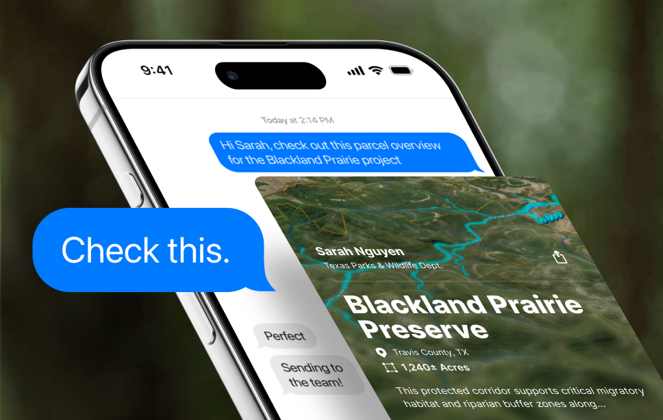
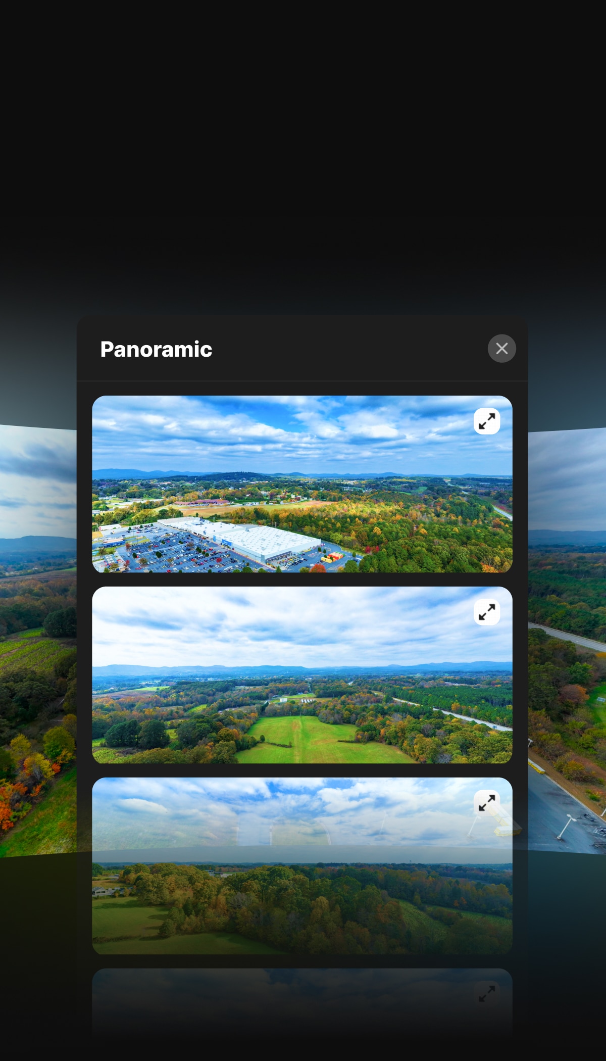
Communicate progress to landowners, government entities, or the public with high-res print maps or interactive digital maps—even if they don’t have a Land id account.
Government & Conservation Land Mapping Software
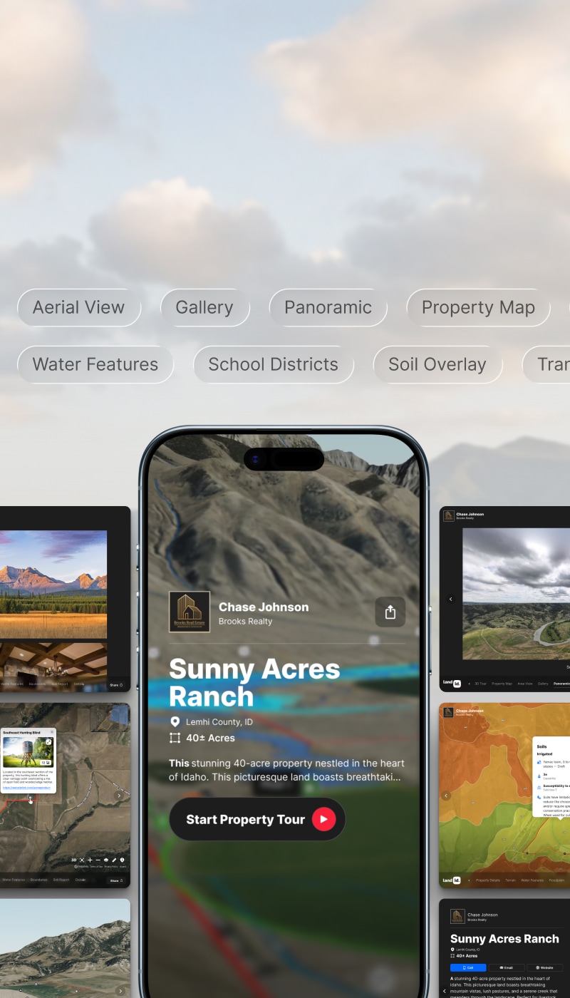
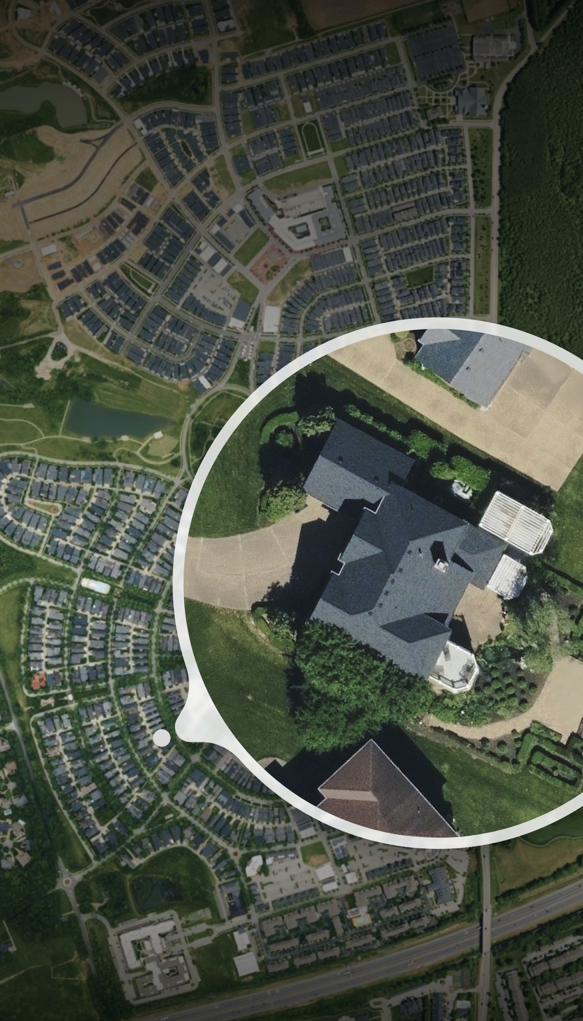
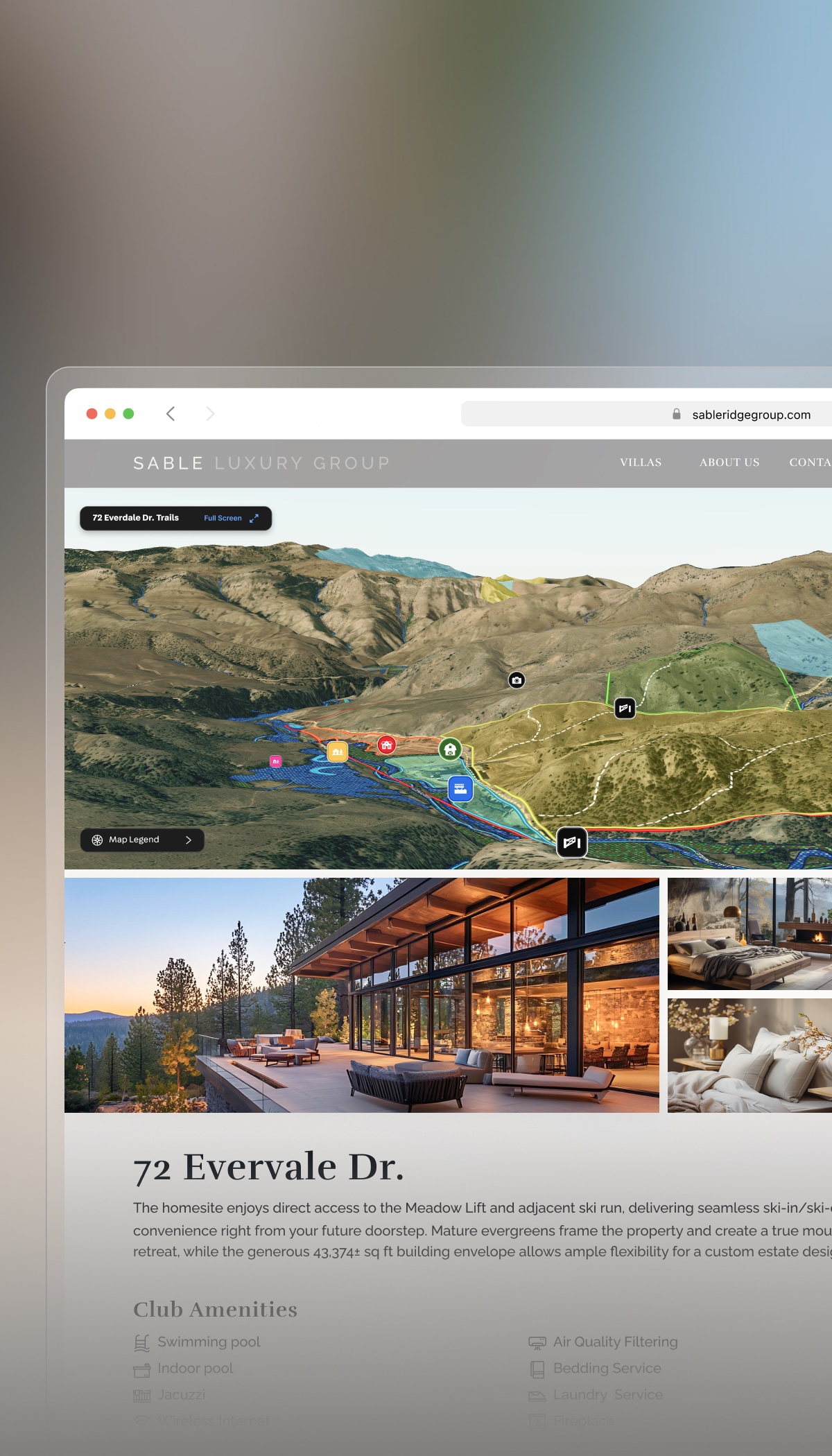
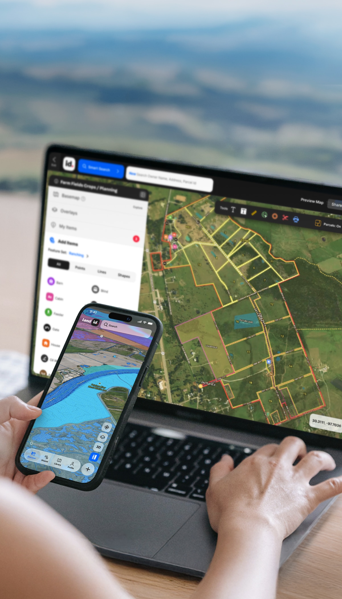
No GIS degree required. Land id gives government and conservation teams the tools to create detailed property maps, document site visits, and share findings. And with desktop and mobile access and land-mapping tools, Land id's software works wherever you do—from the office or in the field.
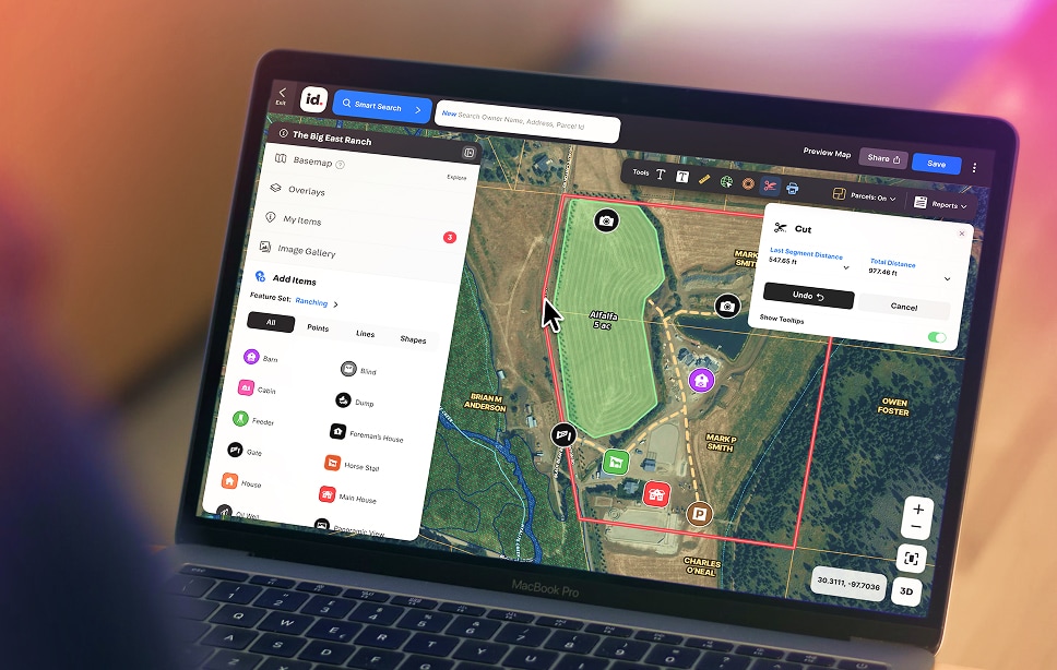
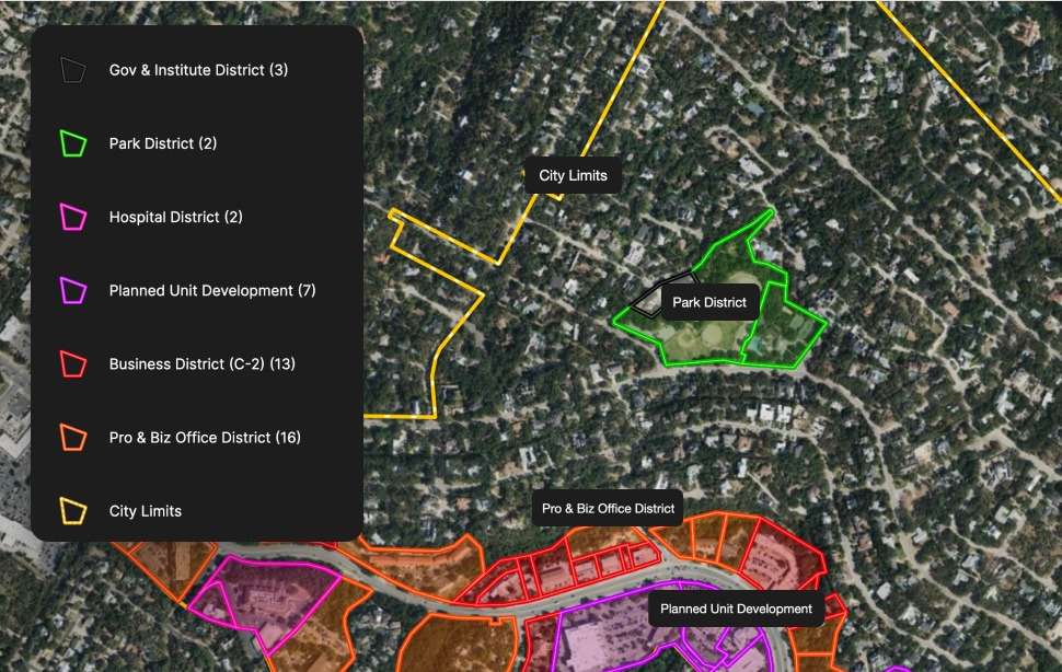
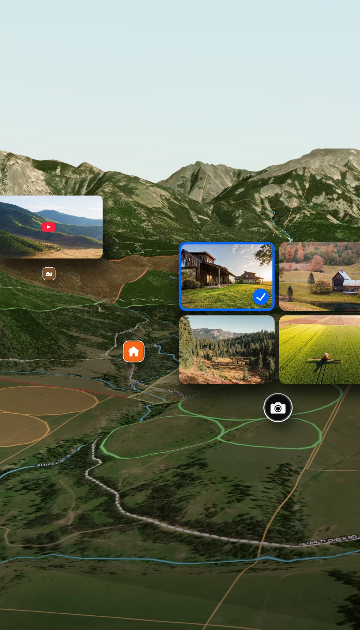
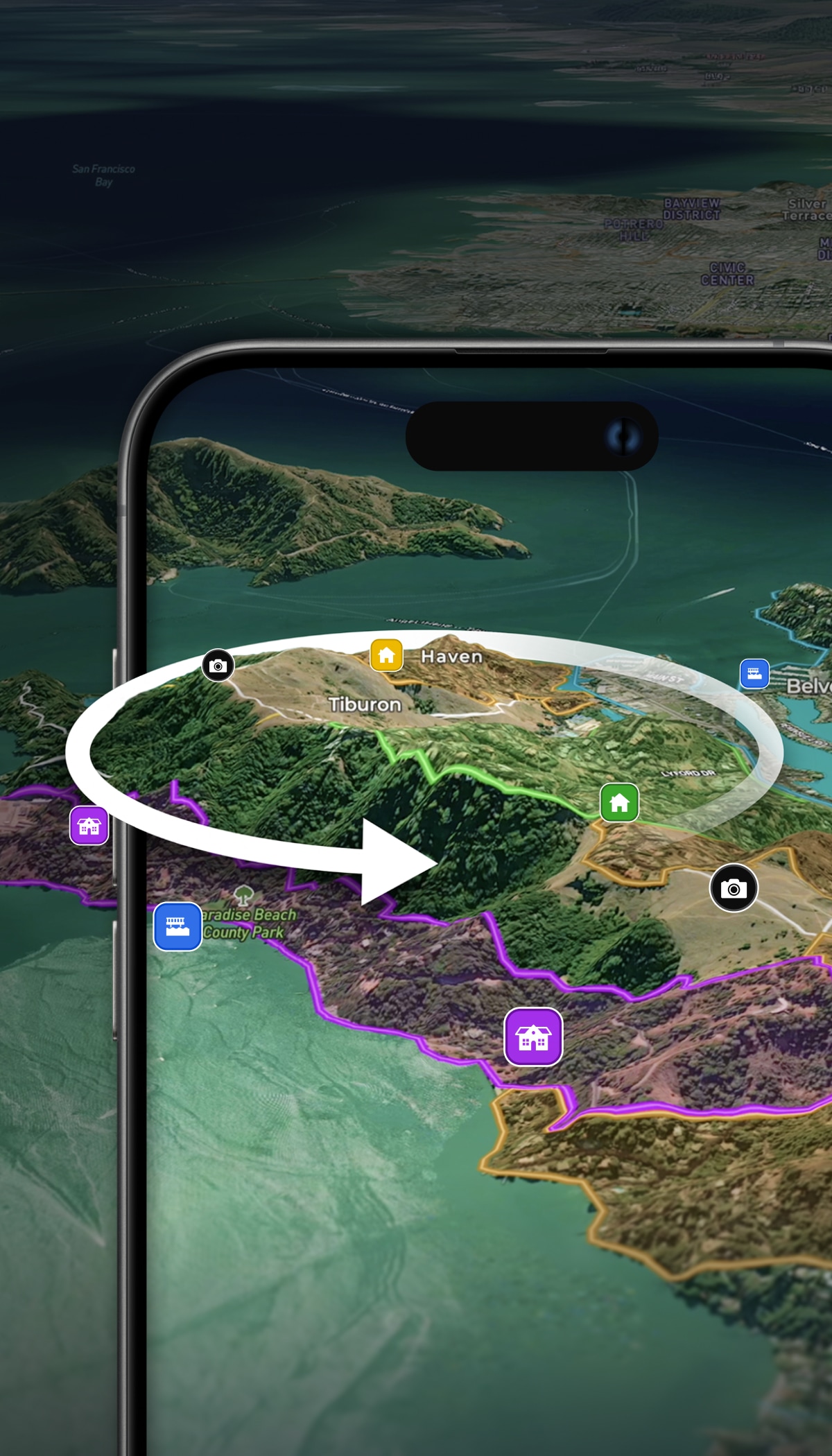
Create detailed maps in minutes—for planning, presentations, or personal use. Add boundaries, measurements, features, custom notes, or anything else to show off the property.
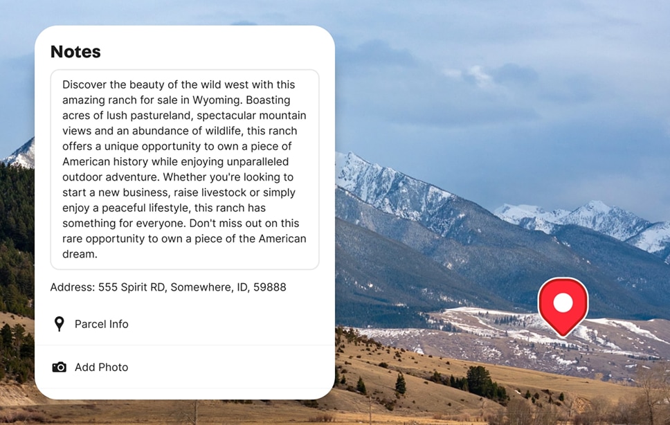
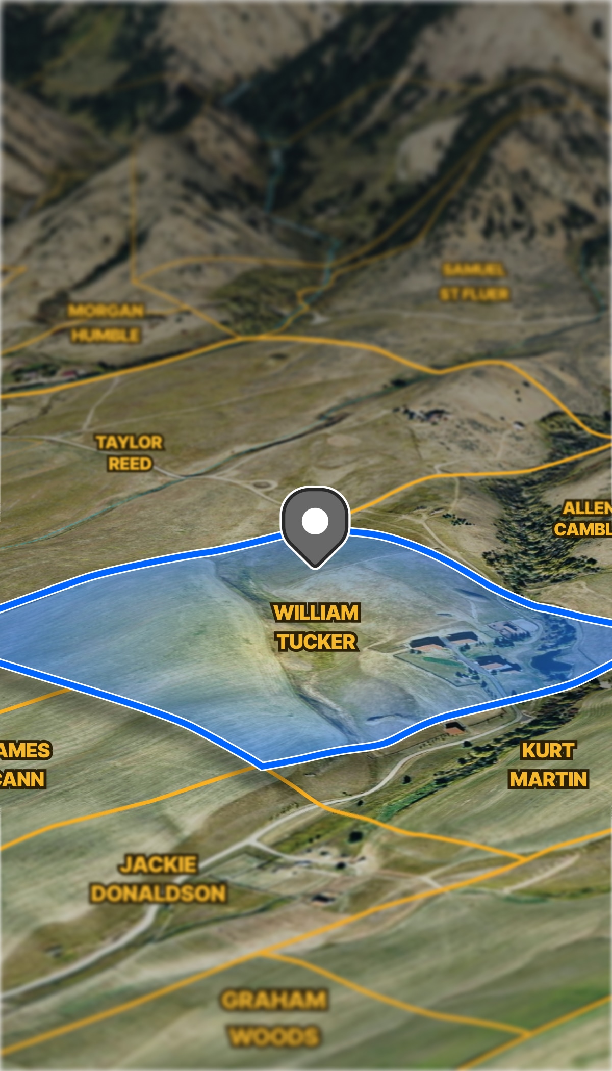
Show your property expertise and help viewers make smarter decisions. Labels, icons, and contextual notes help viewers gain a better spatial understanding of crucial aspects of a property.
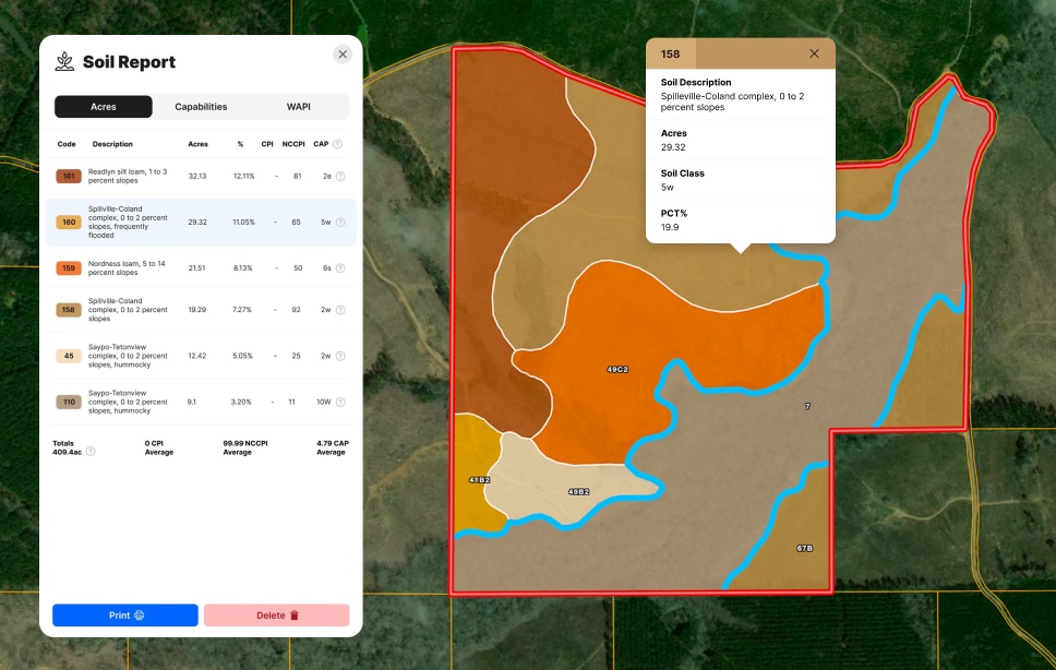
Discover soil type, classification, and agricultural potential to make informed decisions.
Toggle on flood zones, soil types, transmission lines, fiber optic service, water access, and more. Up-to-date data across 40+ overlays, so every decision has the full picture behind it.
Government & Conservation Use Cases
Conservation and government mapping needs span roles, missions, and land types. Whether it's parcel data for municipalities, land access mapping, or simply an affordable GIS software, Land id enables complete, clear communication and continued compliance.