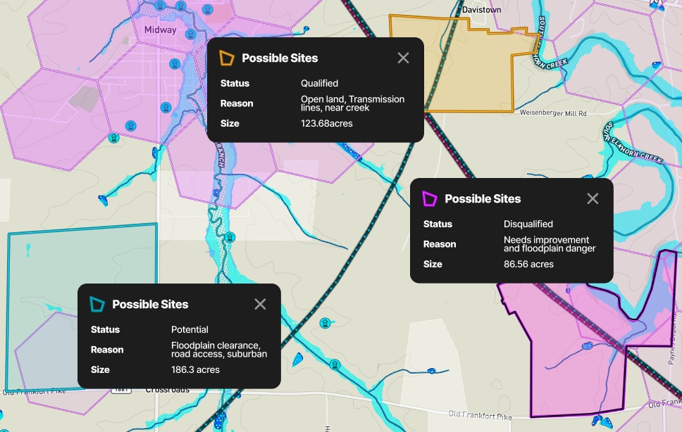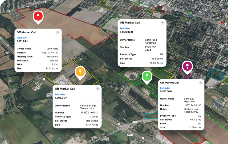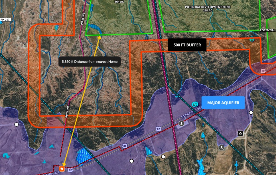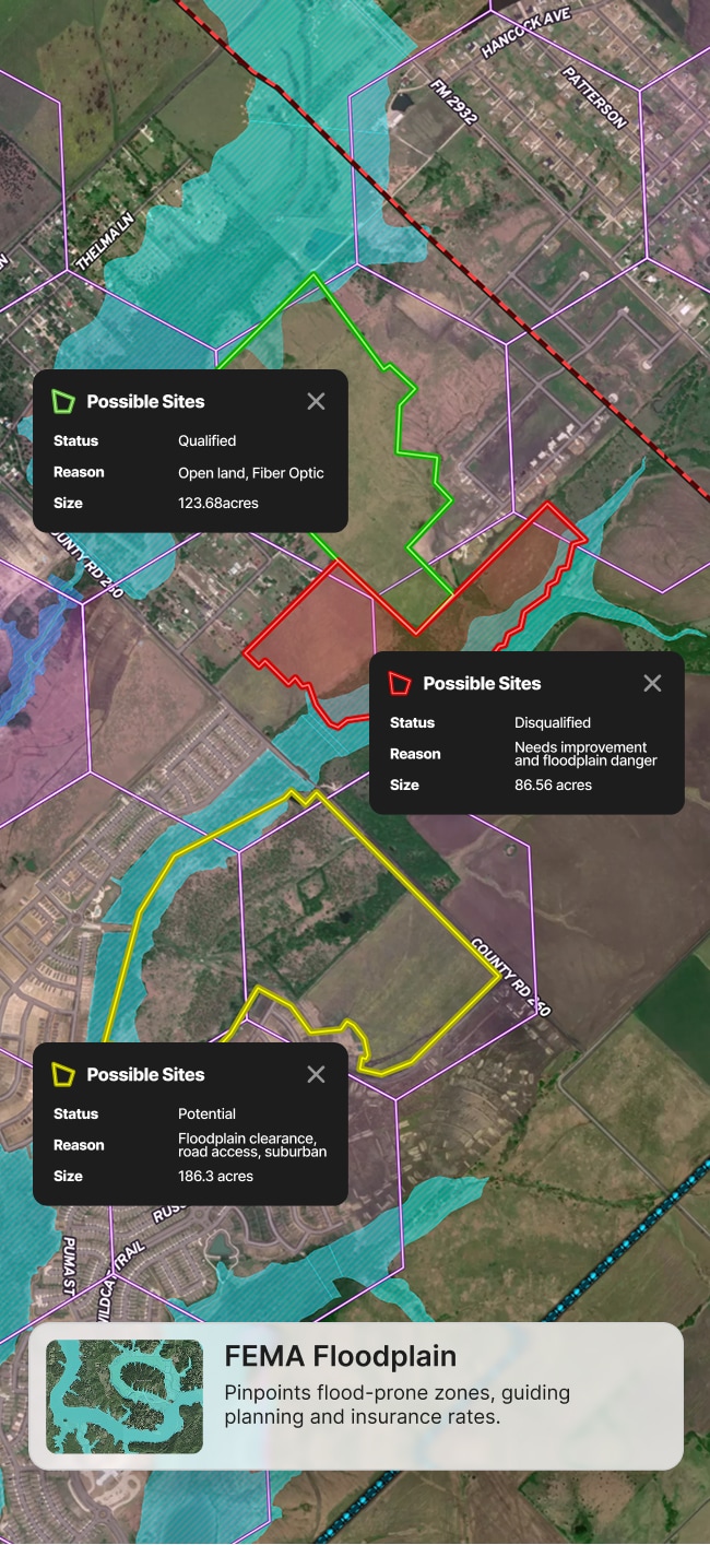


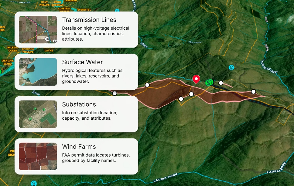


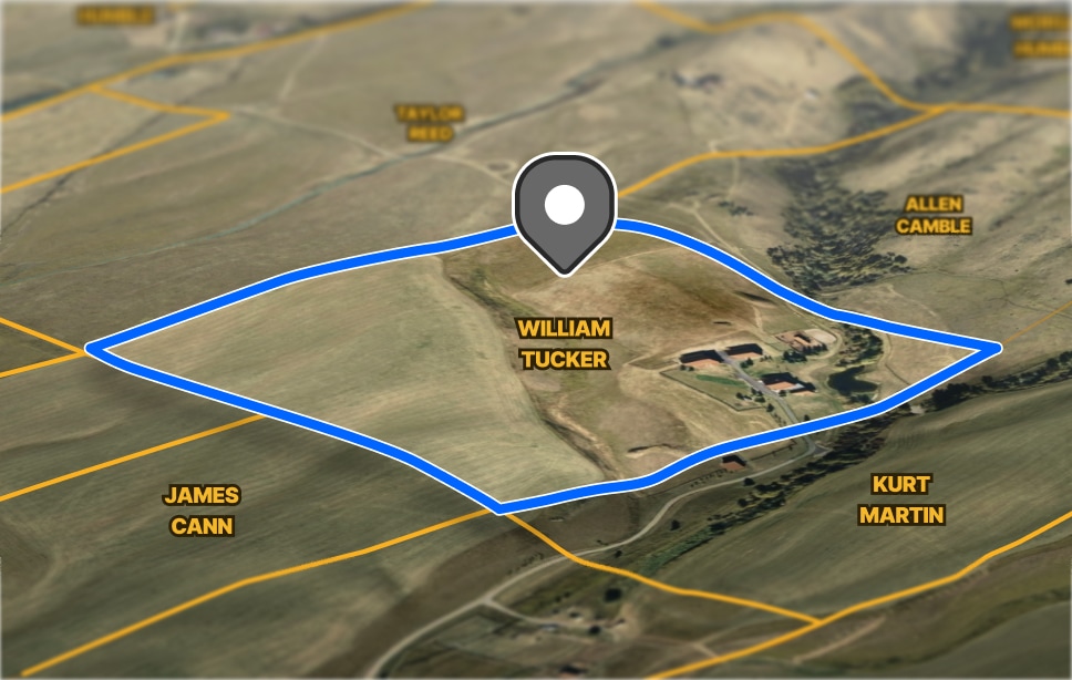
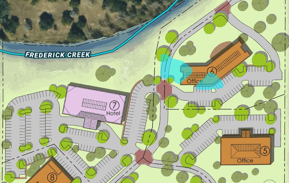
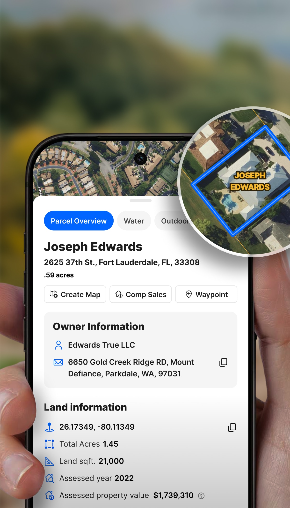
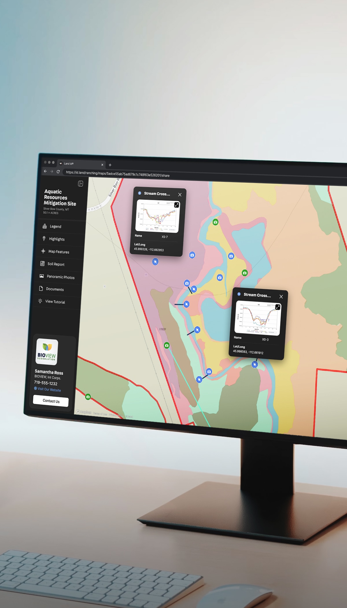
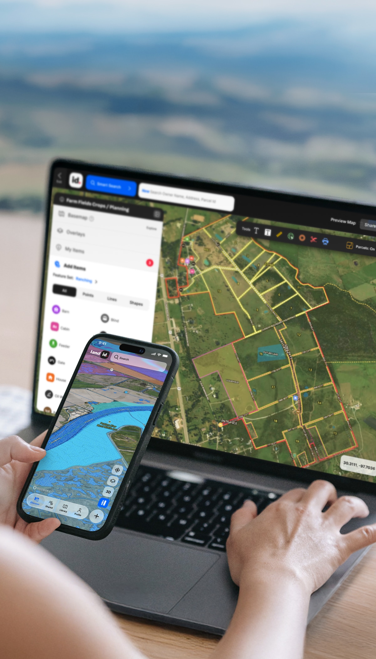
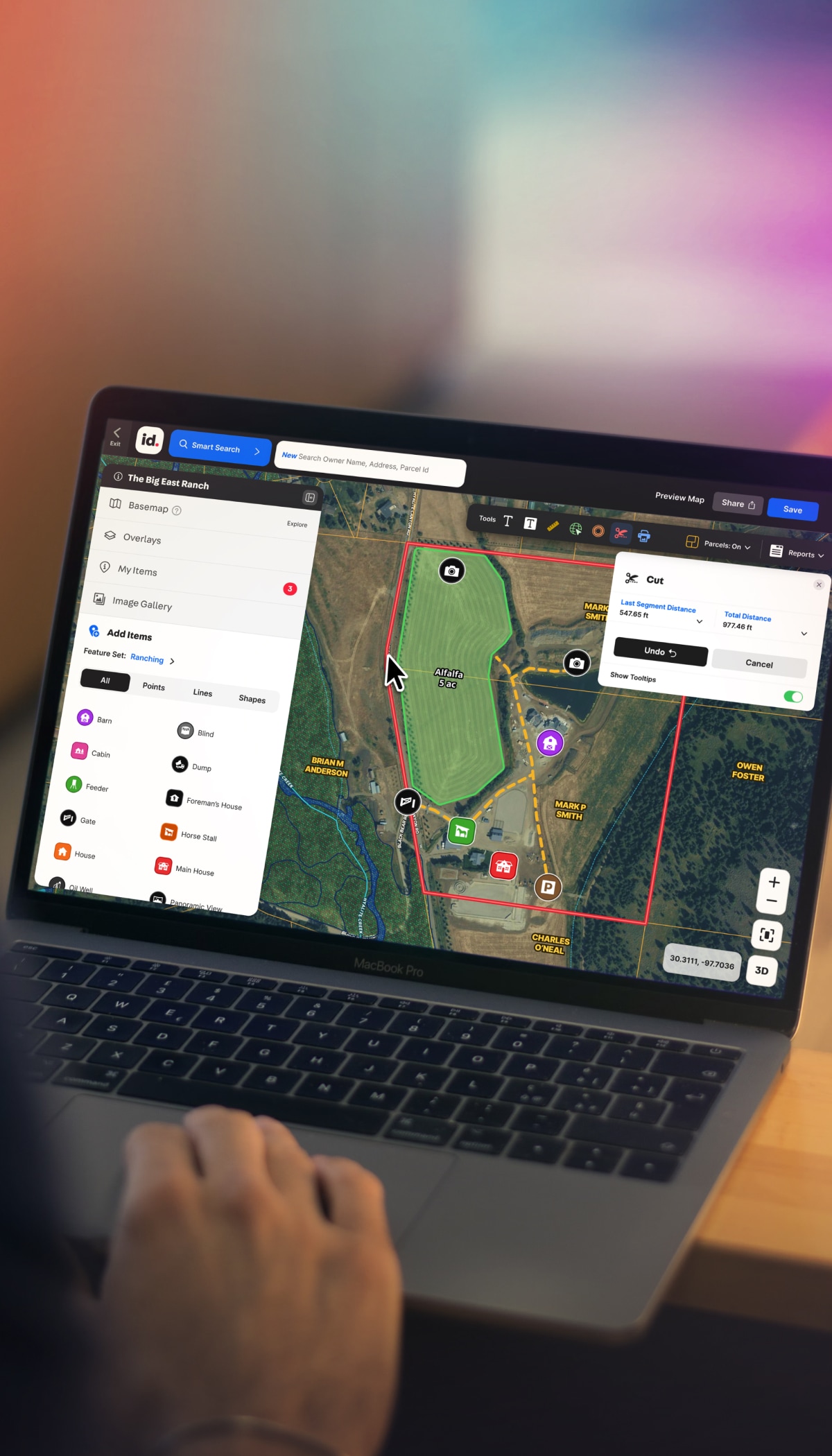
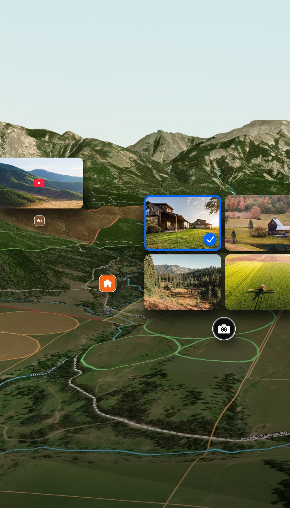
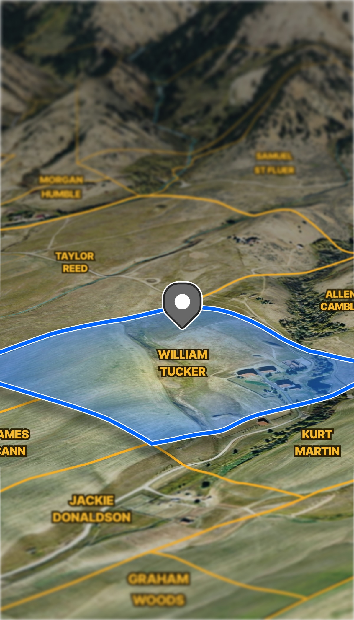


Data Center Developers
Find, evaluate, and present infrastructure-ready sites.
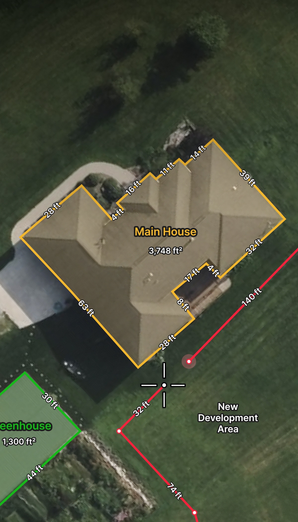
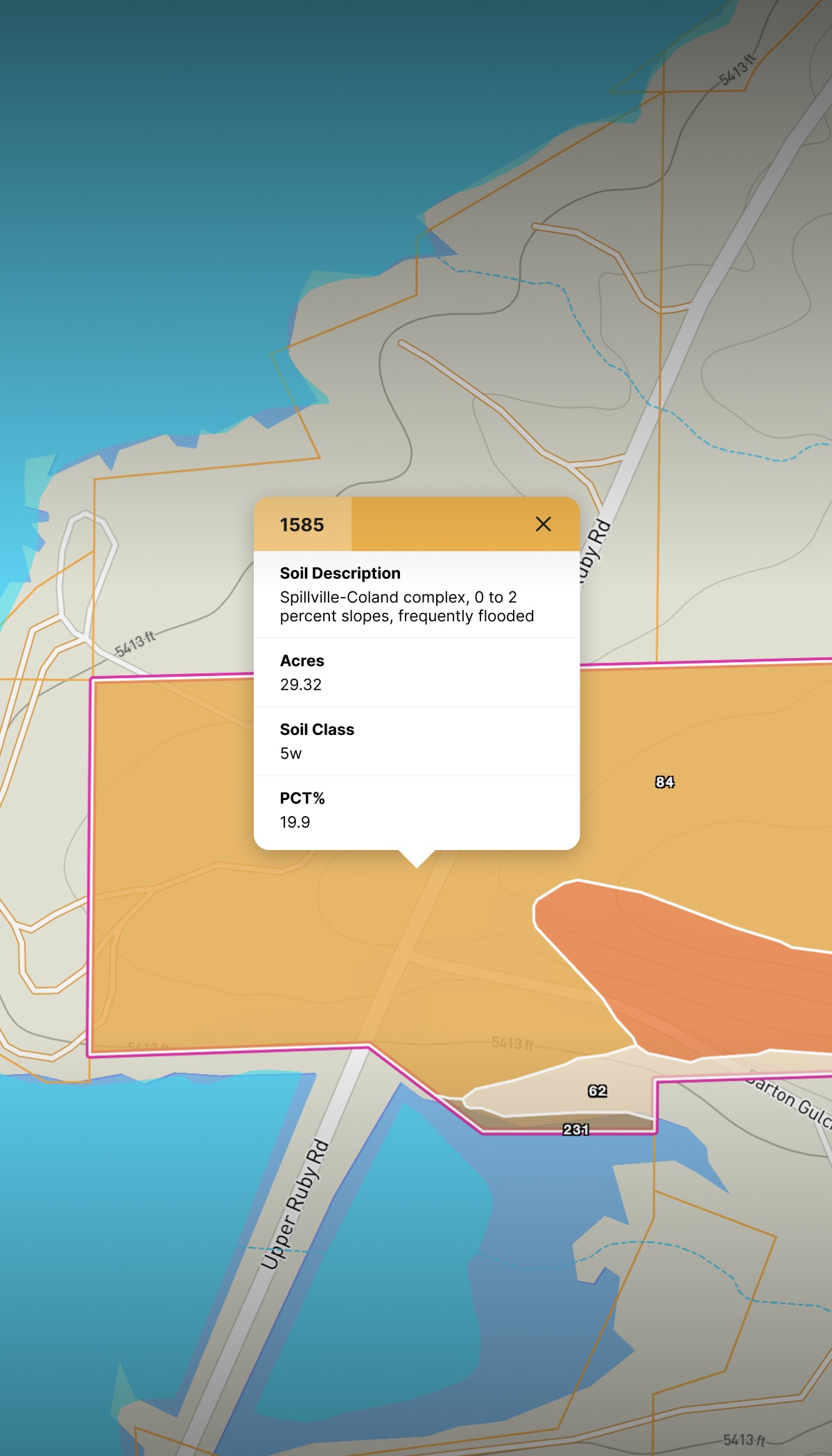
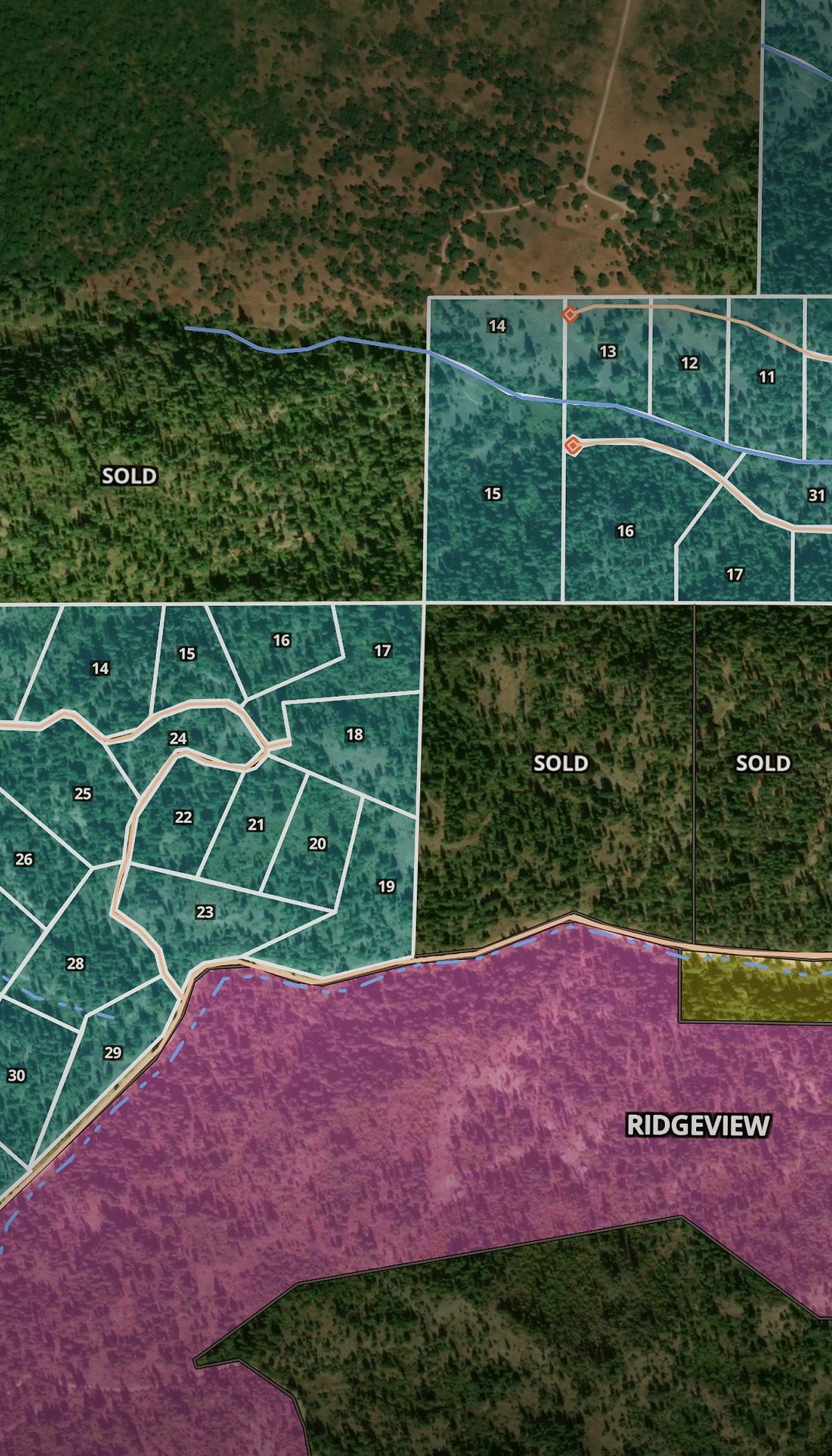
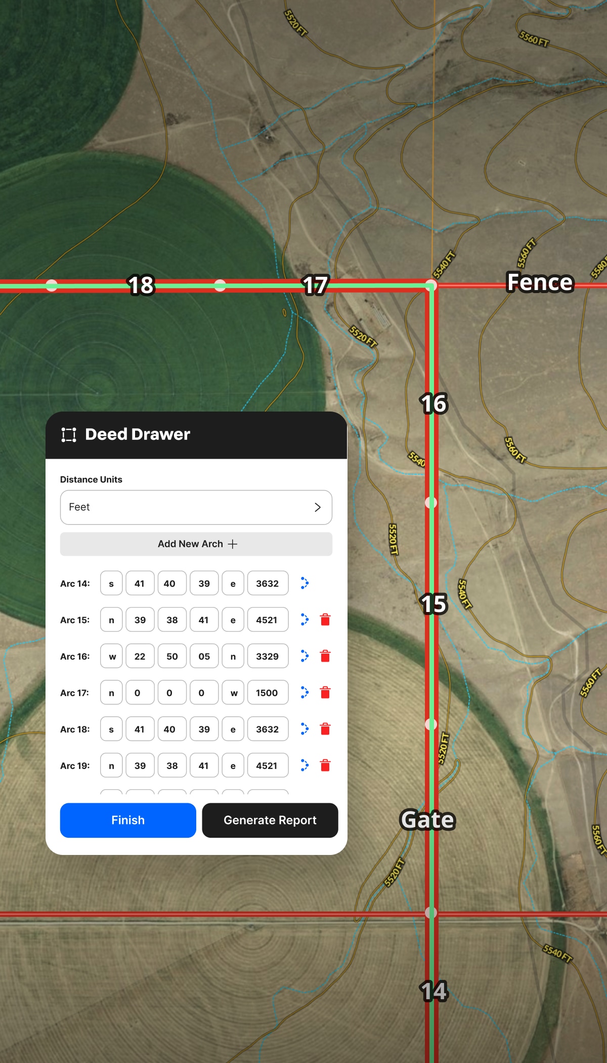
- Map and compare access to transmission lines, substations, and water.
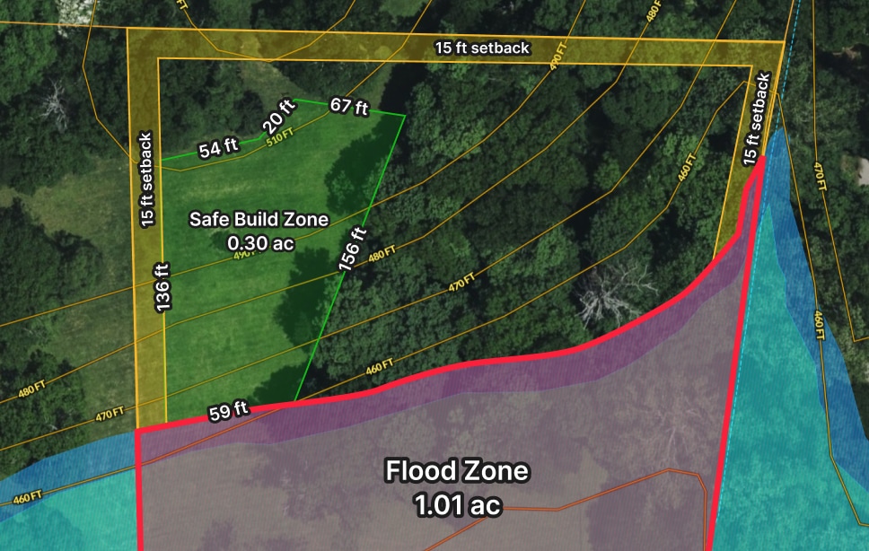
- Build a geo-referenced site plan engineers and investors can follow.
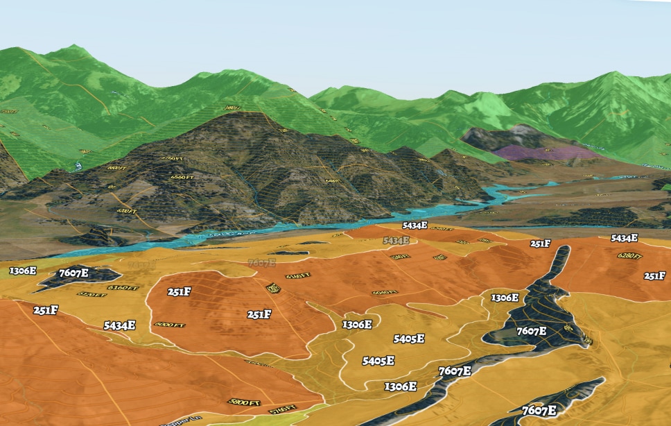
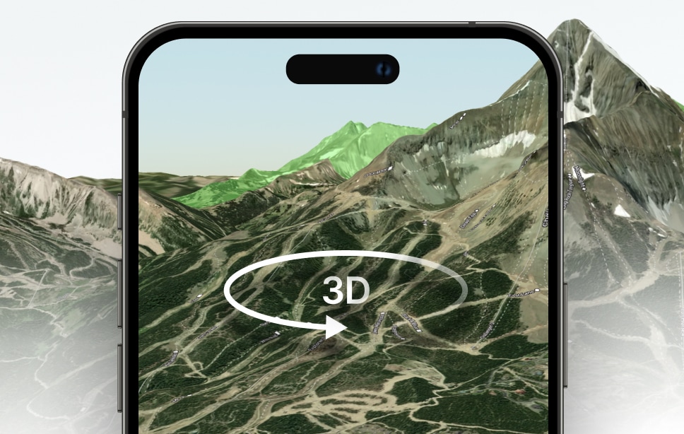
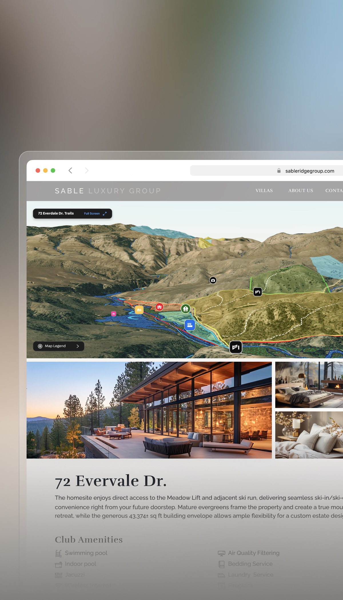
- Share an interactive map that moves your project forward.