


In a growing market, it can seem like developments pop up overnight. One day, you drive past an empty lot. The next week, retailers are hanging signage. By then, property values have already shifted.
But for Bozeman, Montana-based commercial real estate agent Case Rose, new developments are never a surprise—because he already has them on his Land id map.
Land id helps Rose navigate a fast-paced commercial market. He uses the mapping software to track development pipelines, visualize parcel data, and advise clients on Bozeman’s evolving property landscape.
Mapping What’s Next in Commercial Real Estate
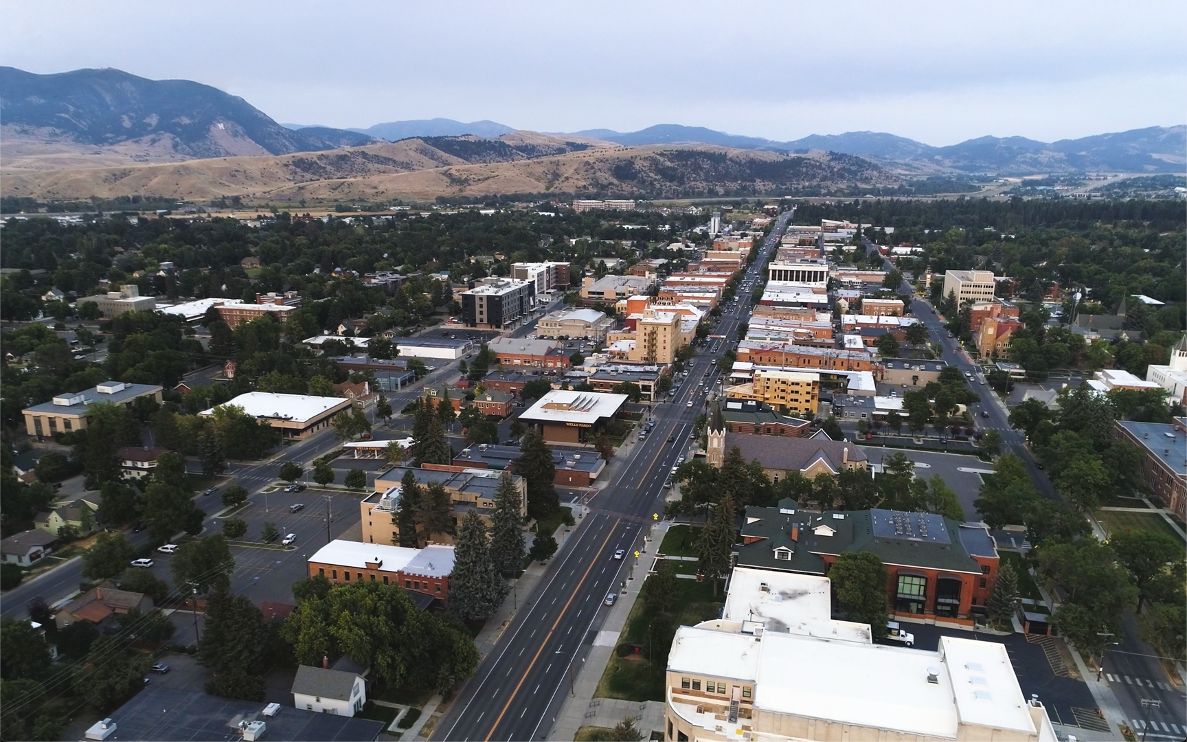
Casey Rose knows how one new commercial project can shift the entire investment picture in Bozeman's Gallatin Valley. As a commercial real estate professional in a small but fast-paced market, he tracks every project closely—and Land id helps him do it.
Put simply, Rose is a Land id power user. He even jokes that his girlfriend is sick of hearing about the maps he builds.
Rose uses Land id's mobile and web platforms to create, save, and share property scenarios and possibilities as interactive maps. He combines Land id's parcel data and visualization tools with his own local expertise to deliver clear, data-backed insights for property owners and operators.
His most common reason for using Land id is to assemble his “development pipeline map,” a map of proposed and in-progress projects. Rose and his team advise on all forms of income-producing property, ranging from industrial to student housing.

According to Rose, developers always want to know what’s being built when and where. In a market this size, timing is everything.
“Land id helps me paint a picture of what our market will look like in the future, the three-to-five year term, to any client in our office,” he said. “Because we’re a market of 60,000 where one large multifamily project can sway our vacancy rate dramatically, it’s really important to have a finger on the pulse of the local building pipeline to ensure if you’re building a project, it’s delivering at the same time as hundreds of other units.”
The software allows Rose to overlay site plans onto existing projects, save them to his map, color-code them by status, and present them to clients. He often connects to a conference-room monitor to walk visiting clients through projects and manipulate live data to showcase different market scenarios.
“I use Land id so I can clearly visually communicate to clientele the story within certain markets—what's going to be constructed, where, and when,” Rose said. “It might be the story with a specific parcel: What's the proximity to water and sewer? Is there a floodplain on it? Things like that.”
The Business of Data: Speed as Differentiator

Bozeman has become a popular relocation destination in the last decade and a half, and Rose’s pipeline enables him to react quickly to new leads wanting insight.
"People might drive by a piece of dirt 100 times, and then boom, there's a shovel in the ground.”
That’s when Land id becomes Rose’s competitive edge. When prospects ask about a property’s development status, he can pull up a map with dozens of insights instantly.
“I can go into Land id and outline every development and what stage it’s in,” Rose said. “It's a big value add for me. And if I’ve got it on my map, I'm way more likely to have that answer.”
Commercial and residential development are closely linked. When new retail and office space goes up, housing demand follows. Student renters and homeowners often want places close to retail amenities. Projects a couple of years down the road help bolster home and apartment construction and give Rose a reason to contact them.
Complex Market Data, Consolidated

Retail management firms need hard data to convince anchor tenants to sign leases—current construction timelines, relocation trends, and market growth figures. It's a constant cycle shaped by local economic conditions, national housing trends, and even decisions made by the local university. Commercial agents like Rose need a single place to unearth and track all of that fluid data.
For example, Rose worked with a coffee shop client considering space in an industrial district. While the district may lack some curb appeal at the moment, he explains, “In five to 10 years, this landscape will be dramatically different.”
Clients look for the kind of forward-looking context that's hard to communicate without data—and harder still without the right tools to visualize it. Land id’s mobile functionality gives Rose the power to physically tour a location with clients to compare map data with what they're seeing on the ground.
“Commercial real estate is the information and data business. And the quicker and more efficiently we can get it, the more value that adds to us,” Rose said.
Learn How He Did It
Our customer stories feature real Land id users—people like you who saw a challenge and found a solution. Here are the features Casey Rose uses to track and plan Bozeman’s commercial real estate landscape.
FAQs
Want to Be Featured?
Continue Reading
Craig Rowe
How Factory-Built Housing Can Reshape America’s Housing Market
.png)
By Land id
The U.S. housing industry’s decade-plus-long inventory challenge could see its first true sign of resolution should the 21st Century Road to Housing Act become law.

Craig Rowe
Can Refurbishing Schools Help Solve Housing Issues?
By Land id
Old public schools are becoming apartments as enrollment drops. See why school-to-apartment conversion is adaptive reuse's fastest-growing niche.


Explore Private Parcel Data & Property Boundaries
Download the Land id app and try for free.
