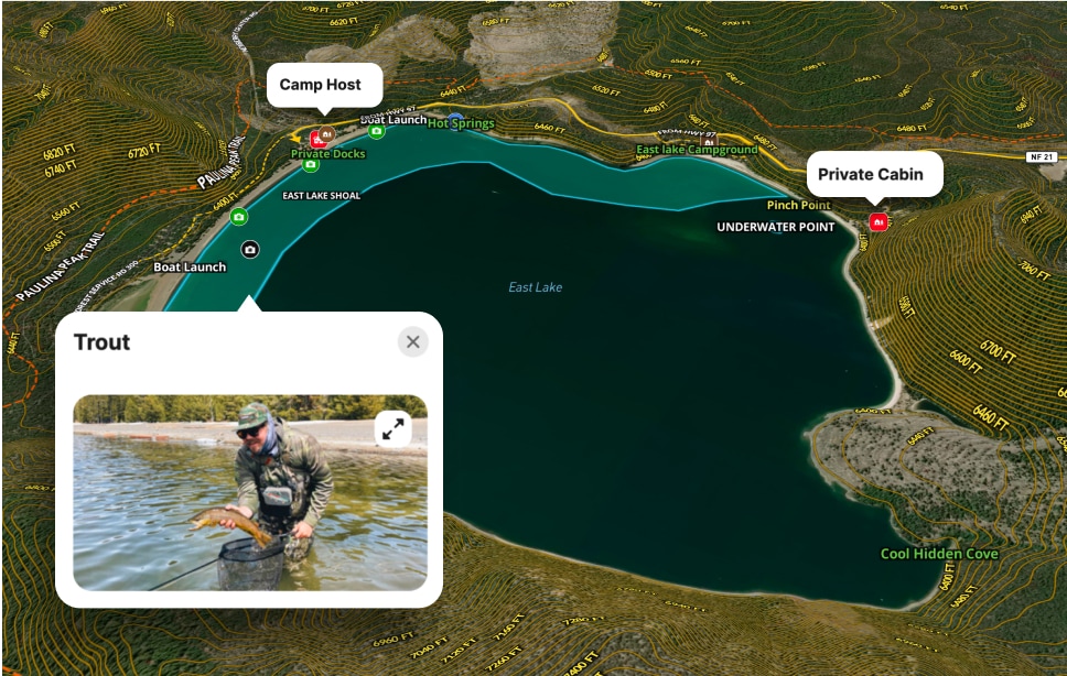
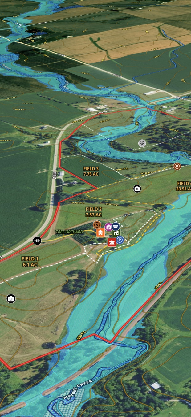
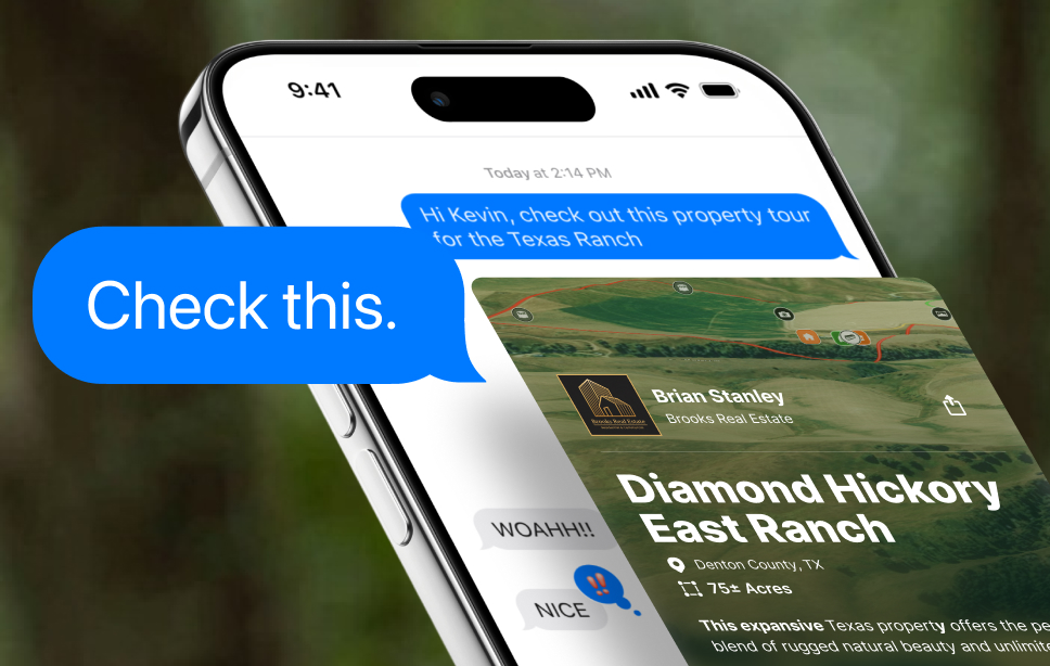
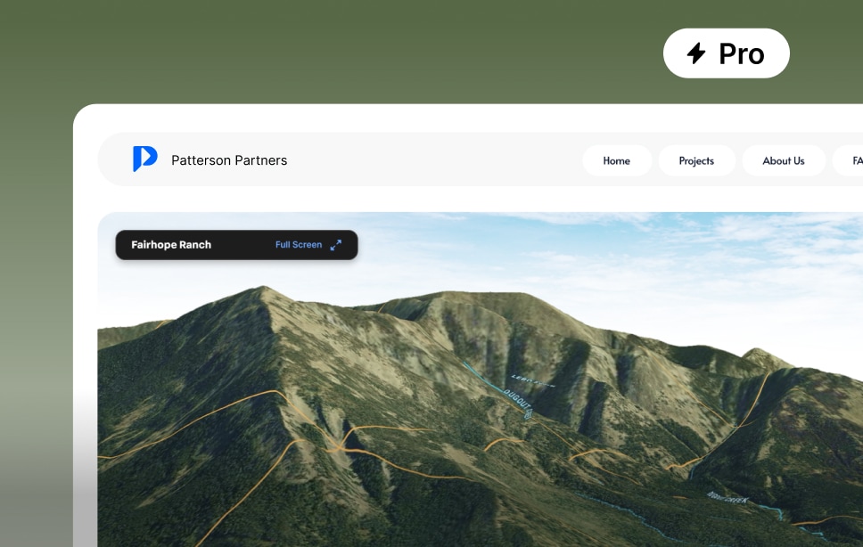
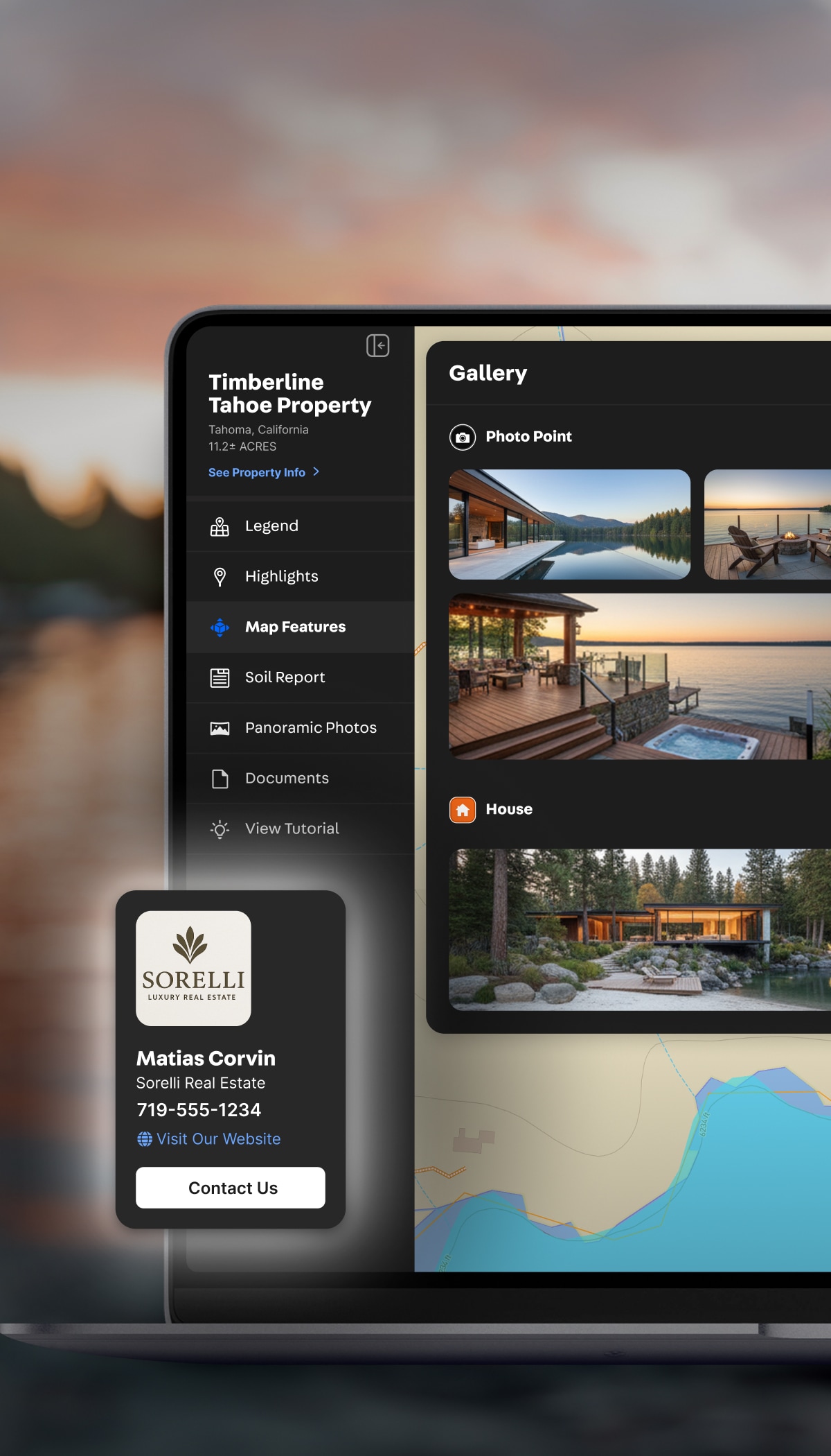
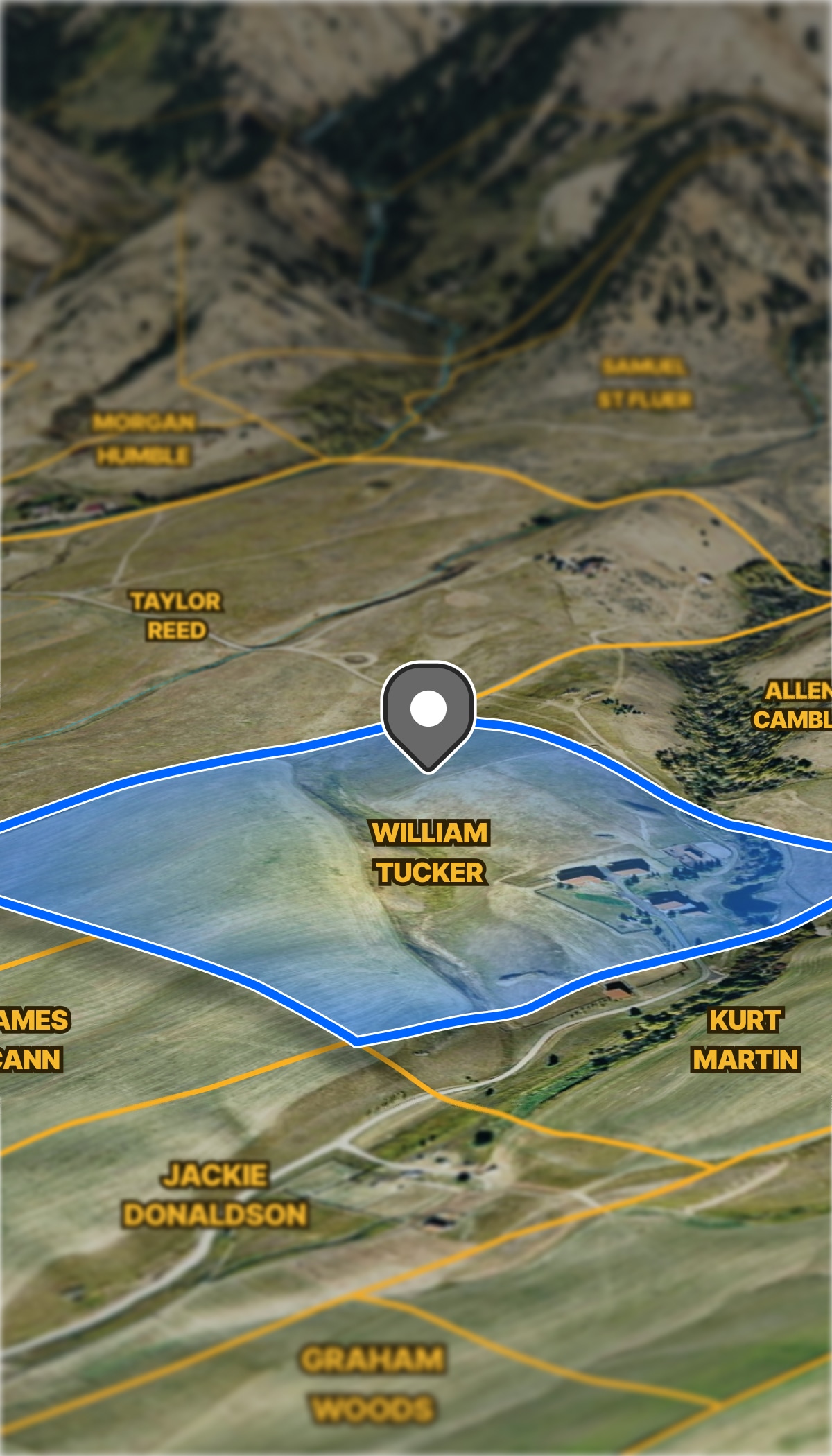
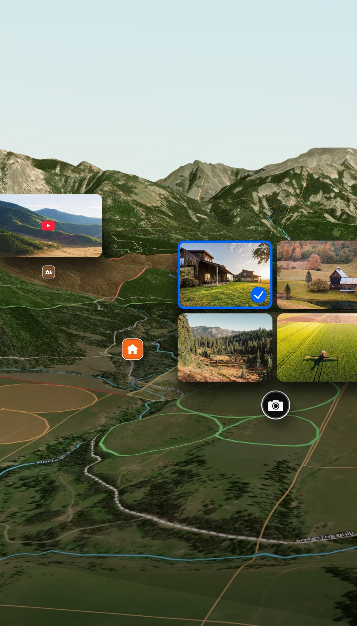
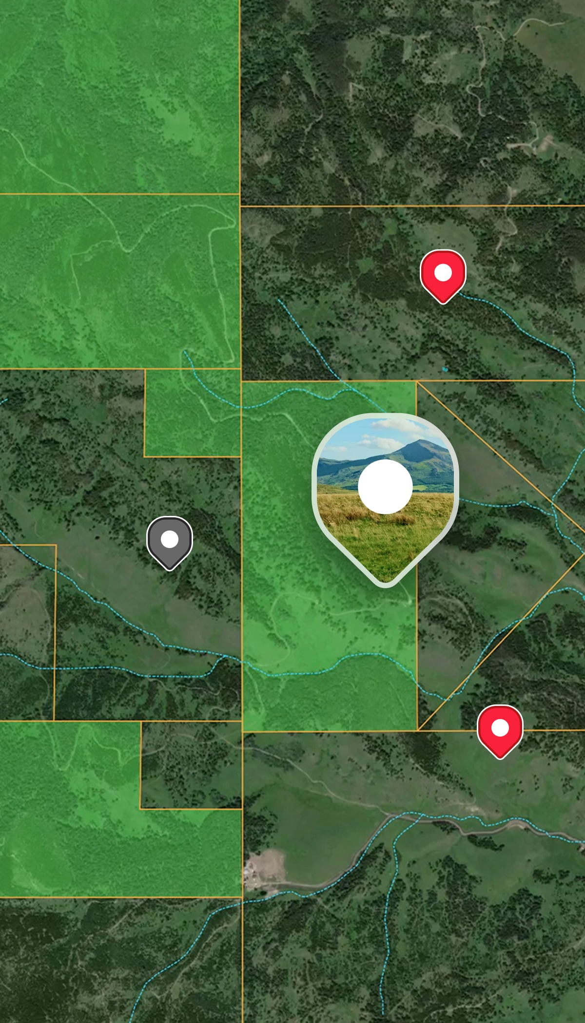
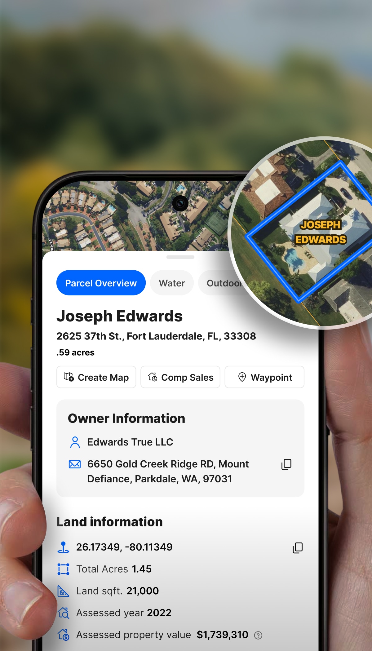
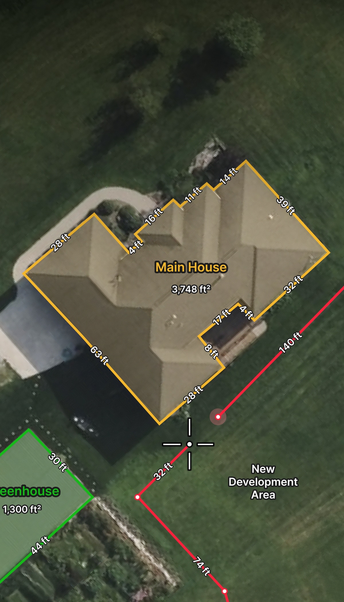
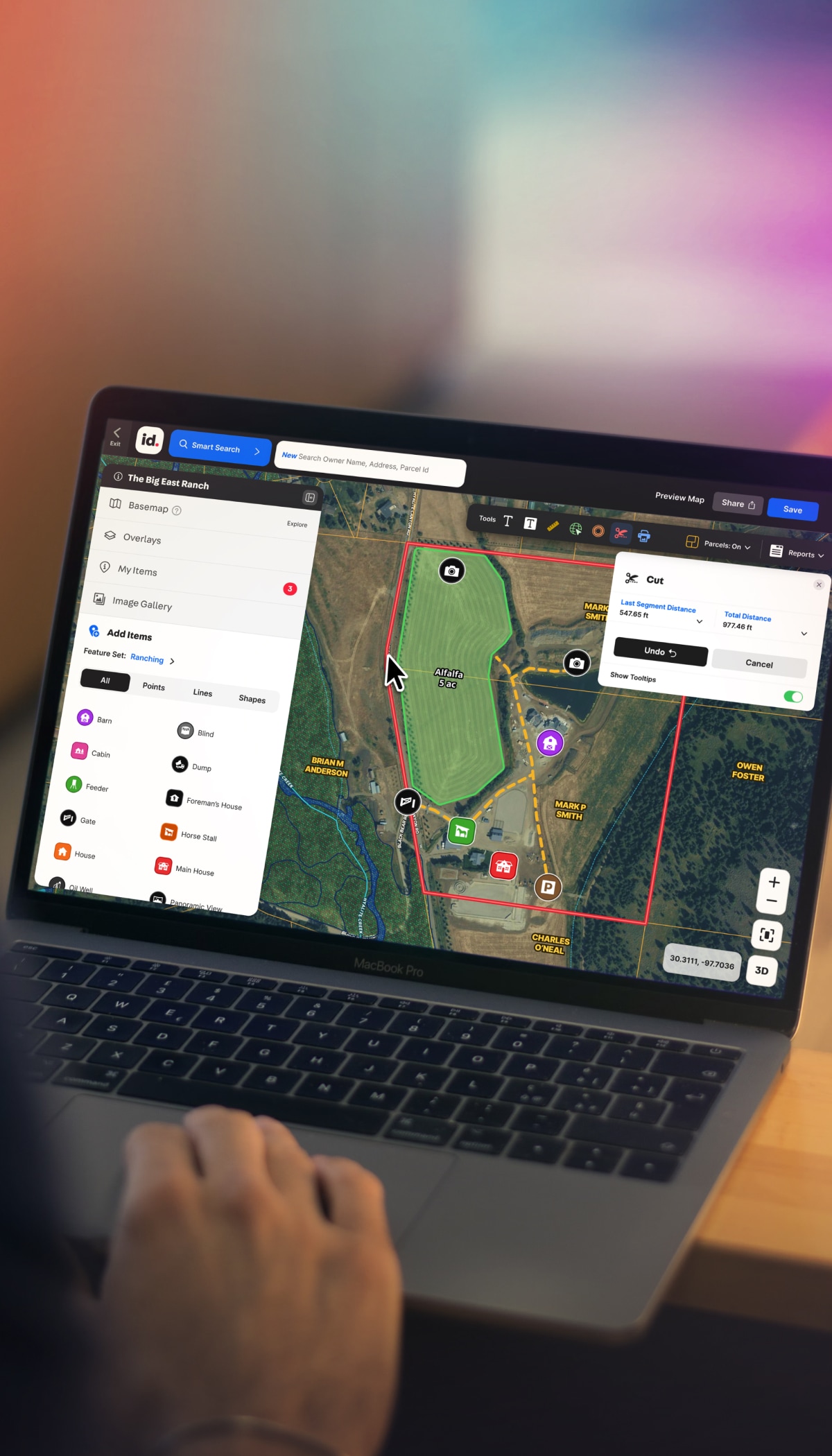
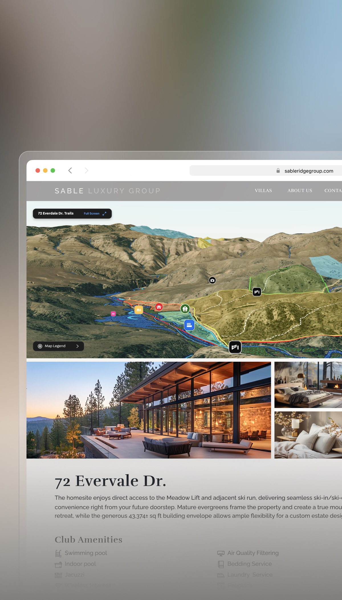
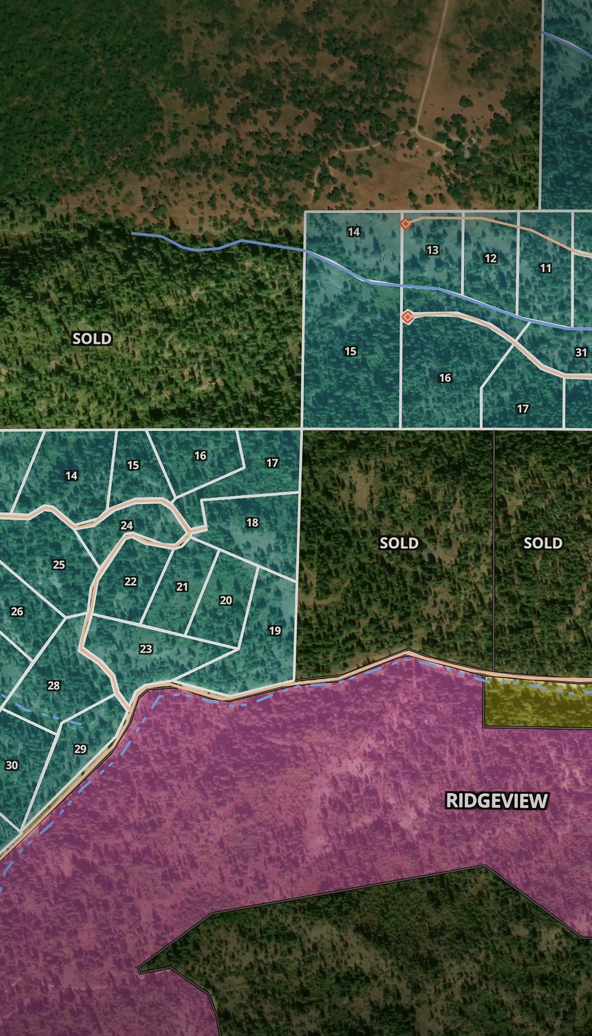
/
Land & Ranch Real Estate

The Must-Have Marketing Platform for Land & Ranch Agents

Built for modern land and ranch professionals, Land id helps agents transform complex properties into compelling visual stories that win attention, build trust, and move buyers to action.

Know, Show & Sell Land Better Than Anyone Else

Land tells a complex story. Tell it better with Land id. Create outdoor virtual Property Tours, ranch listing maps, and land listing presentations that clearly and quickly communicate the property's value and potential—and guide clients to smarter decisions, faster.

Build Your Rep as an Expert in Acreage

With Land id, you’ll boost your confidence as a rural and land agent—an expert who knows how to match clients with right-fit properties.

Show Expertise With Fast Due Diligence

Show clients you’ve done your homework. Share data-rich Property Tours and detailed maps that highlight what makes a property special—views, access, infrastructure, or subdivision potential.

Share Property Insights in Real Time

Watch clients “get it” instantly as you walk property boundaries, features, and surrounding land in real time. Create and share maps from your desk or phone so you can show any property, 24/7.

Make Your Marketing Stand Out

Create branded assets that build differentiation in a competitive market. Create high-res print maps and pro reports. Embed Land id maps into Canva and websites.

See Property Before Hitting the Road

Save hours and miles on the truck. Look up a property to see the land before you leave, then decide if it’s worth a visit. Fewer wasted trips. Better conversations when you do walk the property.

Trusted by Industry Pros

The #1 Land & Ranch Real Estate Mapping Software

Features to Help Land Brokers Market & Sell Better

When a client calls about a 200-acre ranch two counties over, you don't have time to dig through scattered sites and data. Land id delivers outdoor Property Tour creation, property boundaries, parcel data for land agents, ownership records, soil data, and comparable sales for land. Develop ranch listing maps, land listing presentations, and more in one place.

AI-Powered Tours for Any Property

Create a shareable slideshow tour of any property with a few clicks. Show 3D views, boundaries, soil data, water features, and more. No design work required.

Learn More

Elevate Marketing With Land id in Canva

Add your Land id link to Canva. Use the drag-and-drop Canva features you’re used to. Create marketing materials and assets that do the property justice.

Learn More

Create Comparable Sales Reports in Minutes

Leverage AI-enabled searching to generate professional, data-backed comparable sales reports—right in Land id.

Learn More

Mobile Offline Map Creation

Navigate property boundaries, see your location in real time, access key data, and keep building maps, even without cell connection.

Learn More

Land & Ranch Real Estate Marketing

Great for All Types of Acreage-Rich Properties

Whether you're listing or buying a trophy ranch, timberland tract, or commercial farm, Land id gives agents powerful land and ranch real estate mapping software to deeply understand property potential, visualize ranch property boundaries, confidently avoid risk, and quickly spot opportunities.

Recreational Land

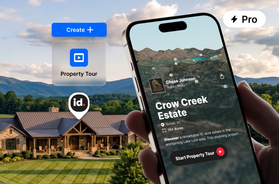
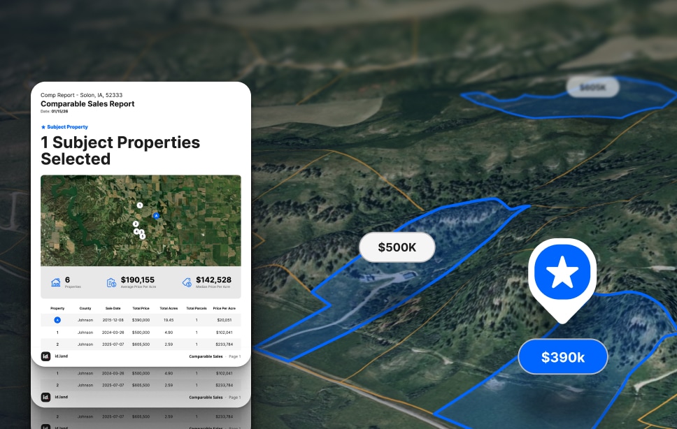
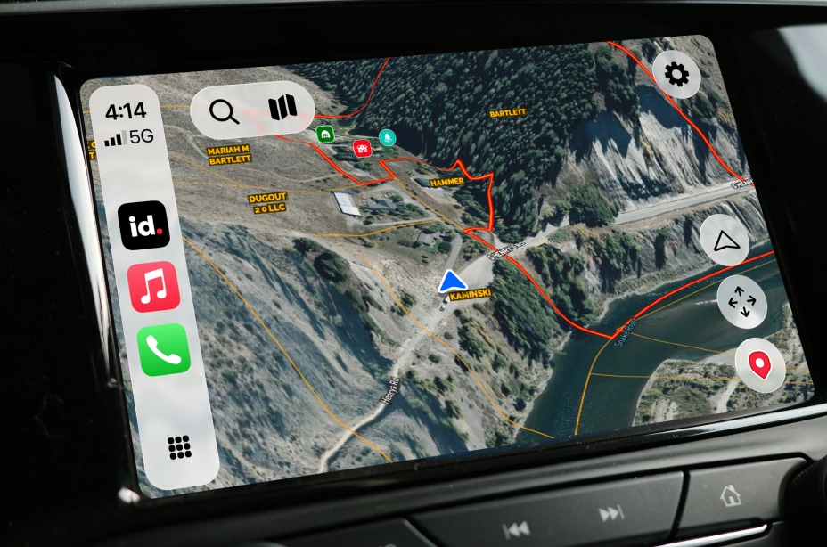
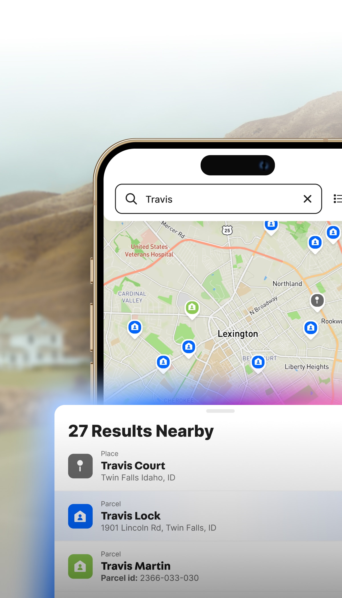
Validate property potential and market recreational ranches.

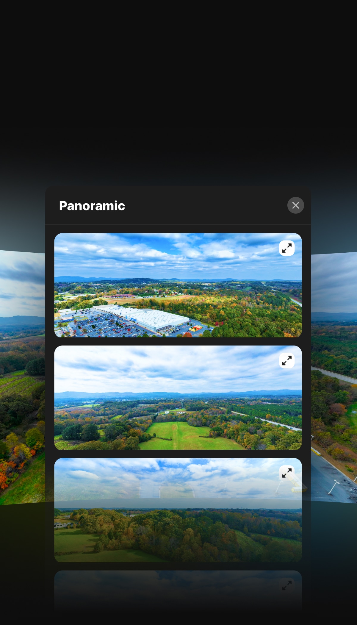
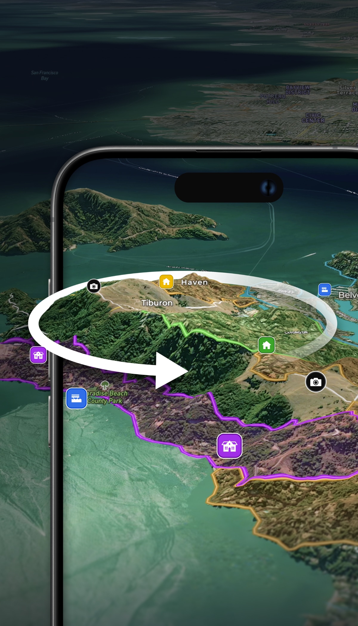
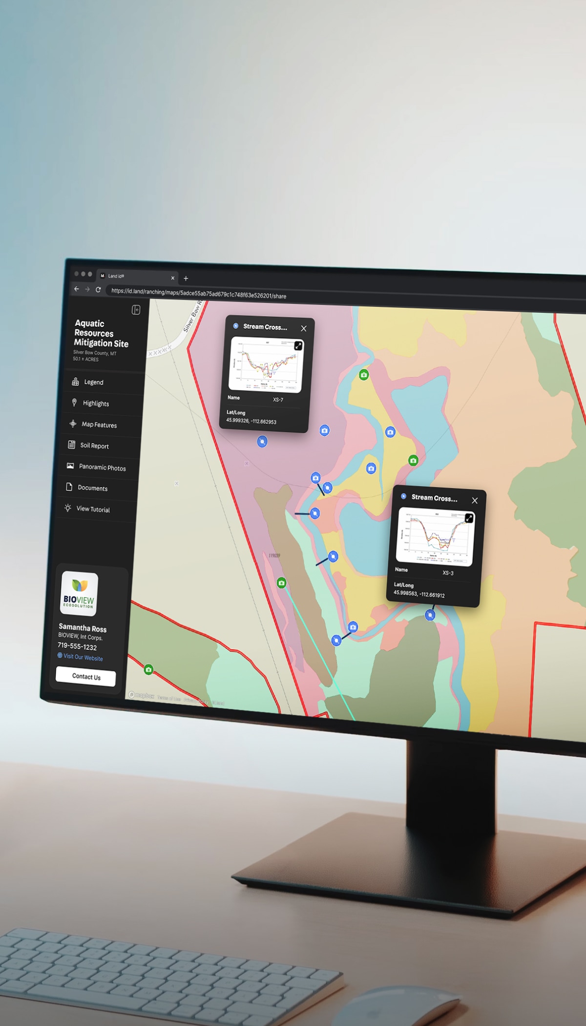
  • Show prime acreage, amenities, and unique terrain.
  • Help clients find and realize their dream ranch or sporting property.
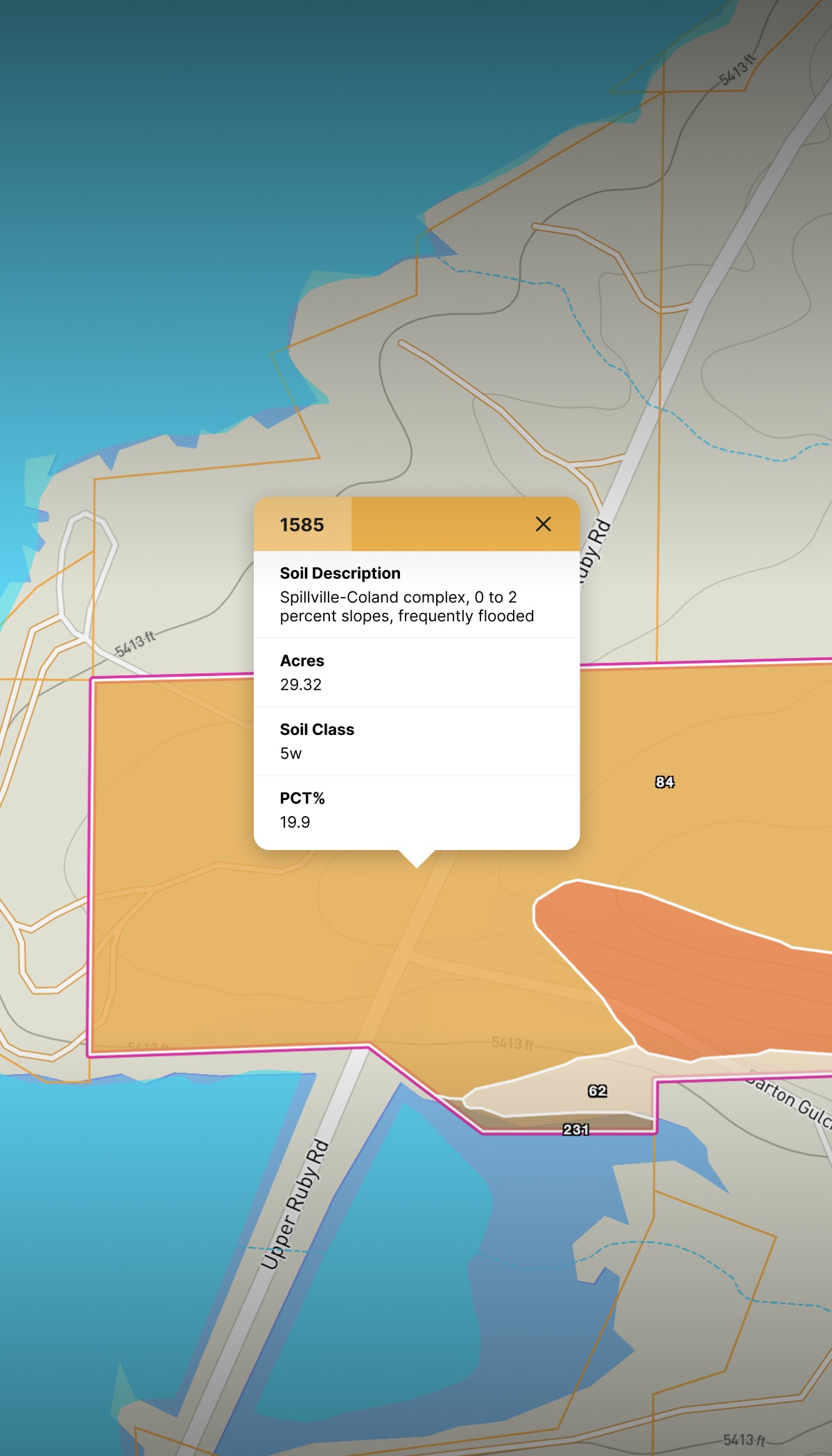
  • Access rich data on federal and state land proximity.

Timberland

Maps and data to visualize, price, and present timber stands.

  • Easily import KMLs and shape files. Add details like age, size, class, and composition.
  • Highlight water features, trails, and access points.
  • Communicate technical land data in an easy-to-understand map.

Commercial Ag

Make go/no-go decisions with land maps, data, and reports.

  • Accurately visualize property with up-to-date, high-resolution aerials.
  • Access soil types and productivity indices (WAPI, NCCPI, CPI, IL PI, CSR2).
  • Understand boundaries and topography, measure distance and tillable acreage, and plan fields, irrigation, and access.

Learn How to Market Properties With Land id’s Training Course

Watch the Videos

Trusted by These Land Professionals

More Resources

It Started With a Map: Behind the Biggest Sale at Triple Creek Reserve

Read how Lance Hancock used Land id's custom property maps and virtual tours to map, market, and close land sales on Triple Creek Reserve near Boise, ID.

A Legacy Land Holding: Telluride Mesa Ranch

The M4 Ranch Group used Land id to map out the Telluride Mesa Ranch: a rare 2,080± deeded acre offering located just 45± minutes from Telluride Mountain Village.

How To Succeed At Ranch Marketing

Marketing land and ranch properties requires a different approach than traditional residential real estate marketing. Learn tips and tricks to improve your tactics and close more deals.

FAQs

Are online property search tools reliable?

Does Land id have comparable sales reports?

Does the Measurement tool work offline or in the field?

What soil data does Land id show?

Can I use Land id to vet a property before I show it to a buyer?

Does Land id work in areas without cell service?

How do I market a land and ranch property with Land id?