

.png)
When it comes to listing acreage-rich properties, the sprawling landscapes and miles of rolling parcels aren’t easy to describe. Static screenshots and clever floorplan apps just don’t do the land justice.
That challenge is exactly what led Lance Hancock, broker with Anthology in Boise, Idaho, to Land id. For Hancock, selling land isn’t just about listing acreage—it’s about helping buyers see what’s possible before they ever set foot on the property.
Far-Sighted: If You Map It, They Will Come

“It’s really difficult to sell people located in Boise undeveloped land,” Hancock said. “To be able to get them there virtually in a 3D map, that they can control from their phone or computer, has been a tremendous help in communicating the vision behind Triple Creek Reserve.”
And that vision is expansive. Triple Creek Reserve is a 1,165-acre, rural development an hour outside of Boise, bordering the Boise National Forest. Its forested, undulating terrain offers wide-ranging parcel sizes, elevations, and use cases. The property is a haven for hunters and outdoor recreationalists, second-home buyers, and trophy-estate investors—each looking for something different, but all needing a clear understanding of the land and its potential.
The development team was familiar with GIS hunting apps, Hancock explained. But for this picturesque property, the team knew they needed something user-friendly and purpose-built for acreage-rich listings and real estate marketing.
That search led them to Land id. Hancock immediately discovered its value for acreage listings by building custom maps for Triple Creek’s many proposed subdivisions.
“We’re dropping in photos and video and drone panoramas, and when I send [clients] a link, they’re dropped into that panorama of the entire area,” Hancock said. “Then they click down and explore different areas.”
The Map Changed the Math: Discovering Hidden Value
Land id’s 3D tours and flexible interface enable users to discover property features and amenities that common maps, aerial photos, and even on-site tours conceal.
Users pan, pinch, and scroll their way into different lots, along trails, and over hills to discover new investment possibilities. Locations can be easily saved and shared with agents and other transaction stakeholders.
That level of engagement can pay off big time for sellers. Literally.
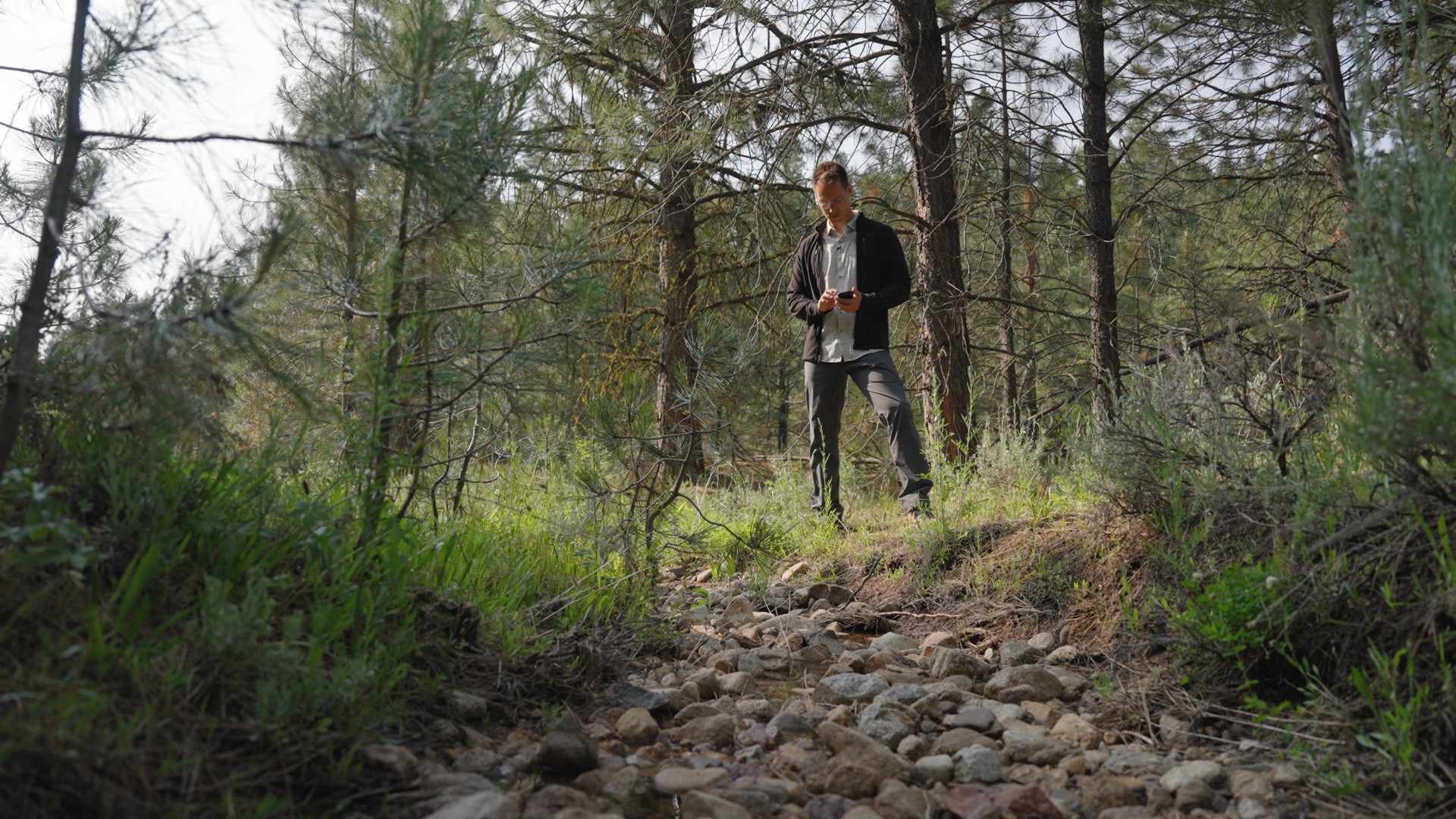
“I found a creek that doesn’t run year-round,” said Hancock. “I was then able to hand-draw it as a water feature on its lot, which raised the value by $25,000.”
For Hancock, Land id has done more than replace other GIS-based tools. It’s helped translate raw land into insight, potential, and ultimately, revenue. For buyers, Land id helps them find what they've been searching for—a piece of their own private Idaho.
Watch Lance's full interview on YouTube.
Learn How He Did It
Our customer stories feature real Land id users—people like you who saw a challenge and found a solution. Here are the features Lance Hancock used to close Triple Creek's biggest sale.
FAQs
Want to Be Featured?
Continue Reading
Alyssa Toohey
Off the Map & In Person: The Land id Team Gets Together

By Land id
The Land id team came together in Montana for collaboration, connection, Big Sky views, PBR, Yellowstone, and plenty of memorable moments.

How Land id Works for Residential Agents
By Land id
Learn how Land id helps residential real estate agents visualize location, uncover property context, and market listings with greater impact.


Explore Private Parcel Data & Property Boundaries
Download the Land id app and try for free.
