No items found.
Great for Forestry Properties
Create & Embed Maps For Your Properties
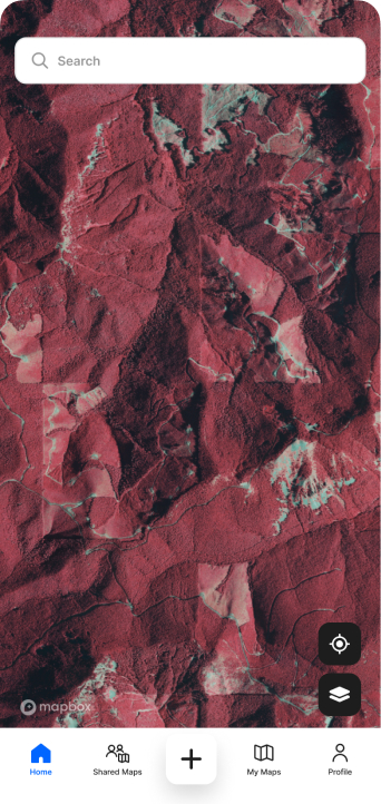
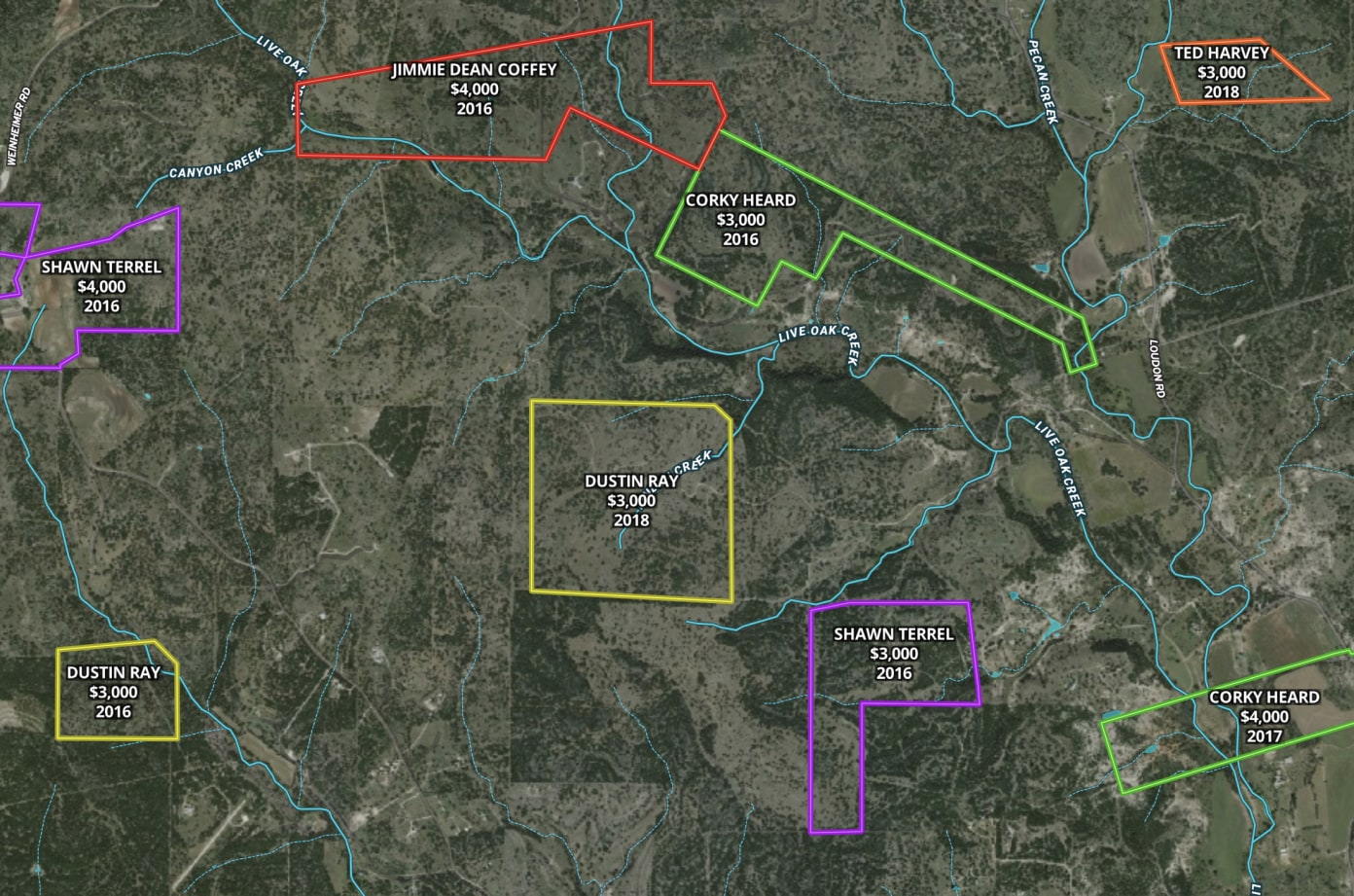
Analyze and record key data points such as location, species, size, age, health, and growth patterns with Land id® maps. Add icons to mark the specific locations of different features, such as logging sites or areas of interest. Export, share, and embed your maps so that everyone can quickly identify key features of your land.
No items found.

Identify Your Land
Easily Create & Share Maps
Creating and sharing visually stunning and informative property maps has never been easier. Try Land id® for free today.


Testimonials
Whether it be in our land management business or our real estate brokerage business, Land id® is integral to our operations. The maps we produce in Land id® are powerful yet user-friendly for both the map maker and the map users. We are able to easily share map files between Land id® and our other mapping platforms, such as ESRI ArcMap and Google Earth. We frequently get feedback from land buyers that they love our Land id® maps, especially being able to click on our map photo points to not only see our pictures, but also see where each picture is located.

Mike Matre
Consulting Forester, Matre Forestry Consulting, Inc., & Senior Advisor and Associate Broker, SVN | Saunders Ralston Dantzler Real Estate
Explore the Platform


