


No items found.
The Most Comprehensive Parcel Data Available
From nationwide property ownership to boundary details, Land id® provides valuable data for land owners, real estate agents, and industry professionals for many purposes and needs.
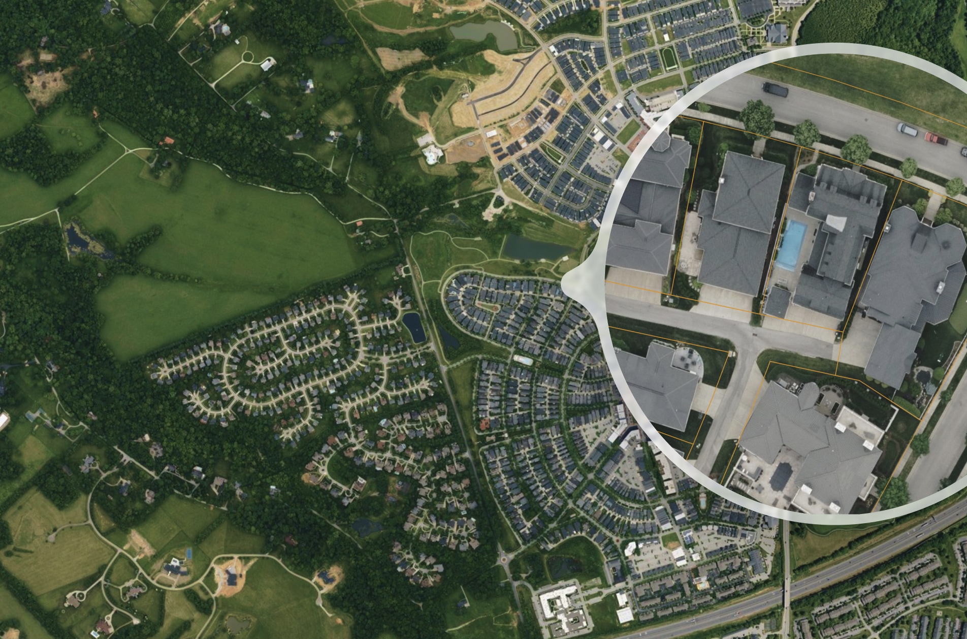
Owner Name, Addresses, Acreage & Land Info
Land id® is the best option for exploring and building parcel maps online that benefit from having the most extensive dataset available. Build maps faster and share them with your audience in minutes.
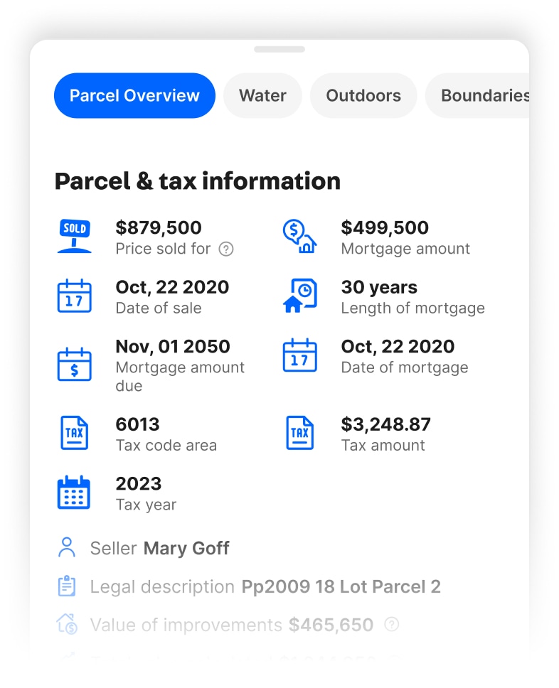
Mortgage & Assessment Information
Property ownership information provides critical insights for real estate investments. Knowing the owner and their mailing address can help initiate contact, while verifying property boundaries can ensure accurate property assessment and valuation.
Building Details
Identifying a property's building details is essential for assessing its value, potential for renovation, and overall condition. Land id® helps make informed decisions about real estate investments, maximizing their potential value.


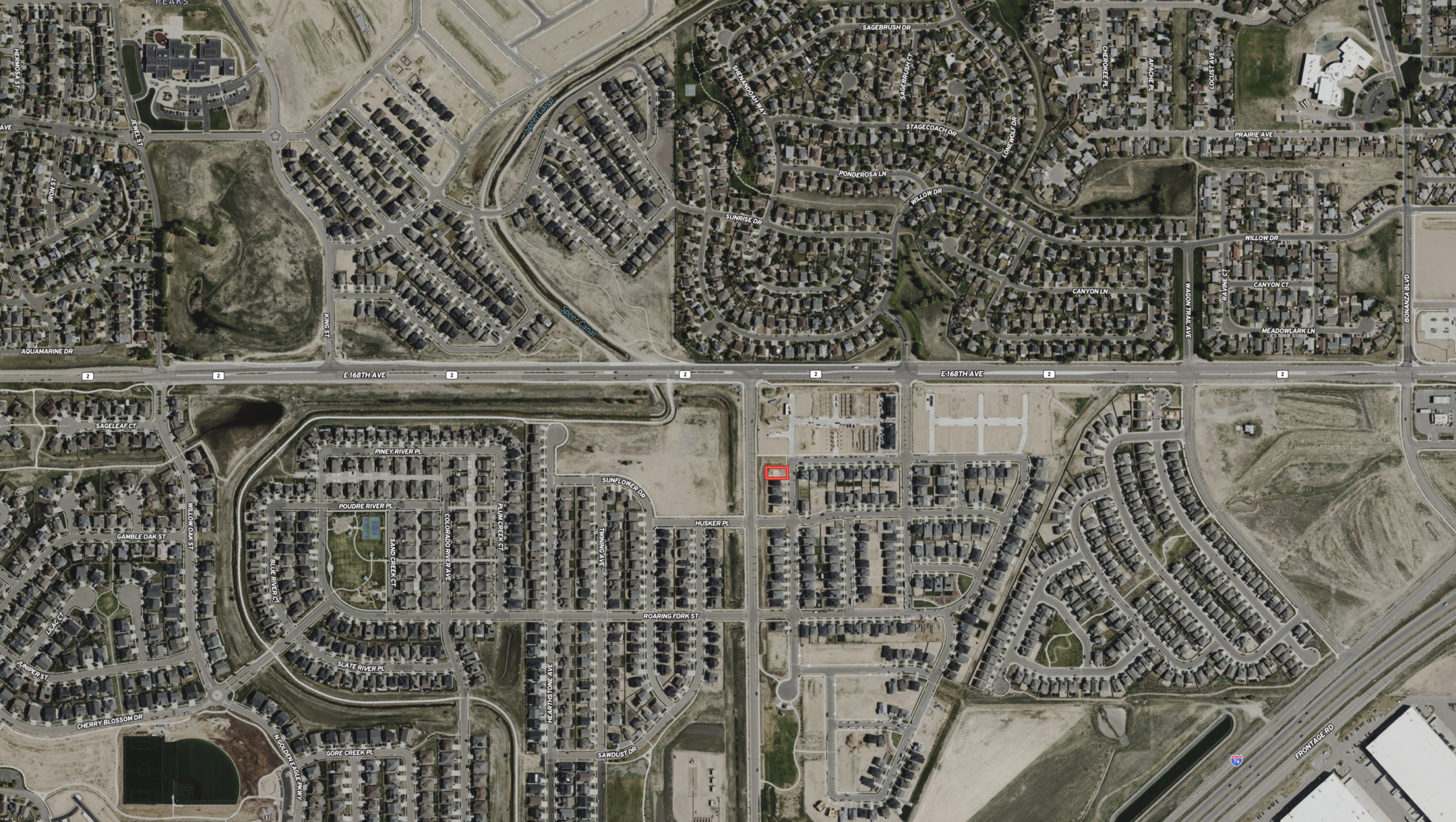
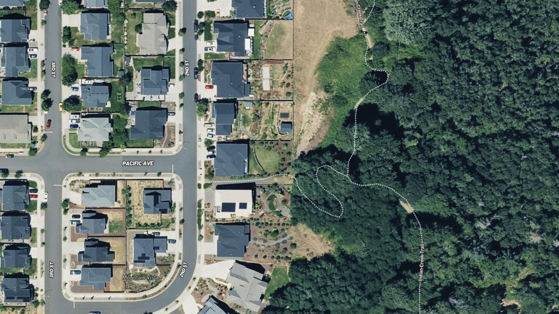
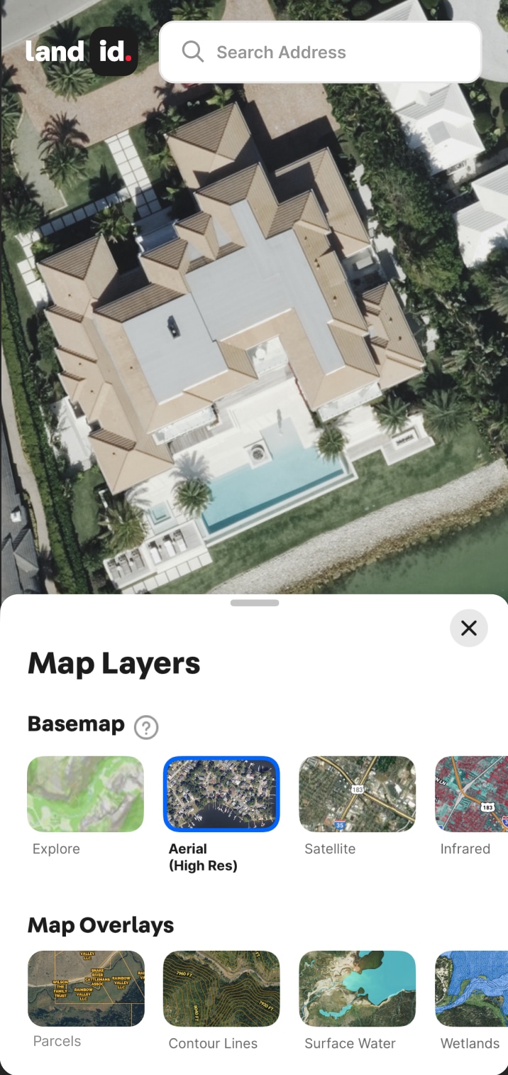
Ultra High-Resolution Aerial Maps
Your 30,000-Foot View Just Got a Major Upgrade
Go ahead. Zoom in on the details. Go from seeing the land to understanding it. Explore brilliant satellite imagery combined from millions of ultra-high-def images for powerful property insights and smarter planning. Available now in high-density regions, with new coverage added regularly.

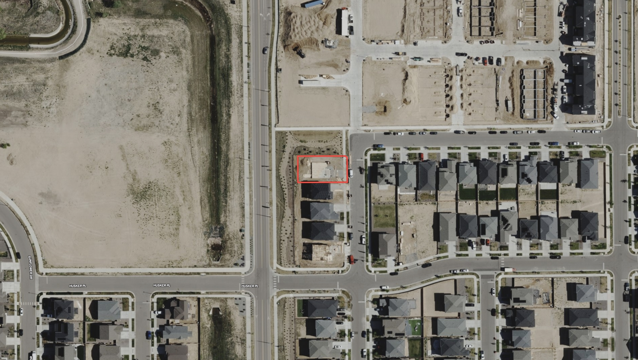


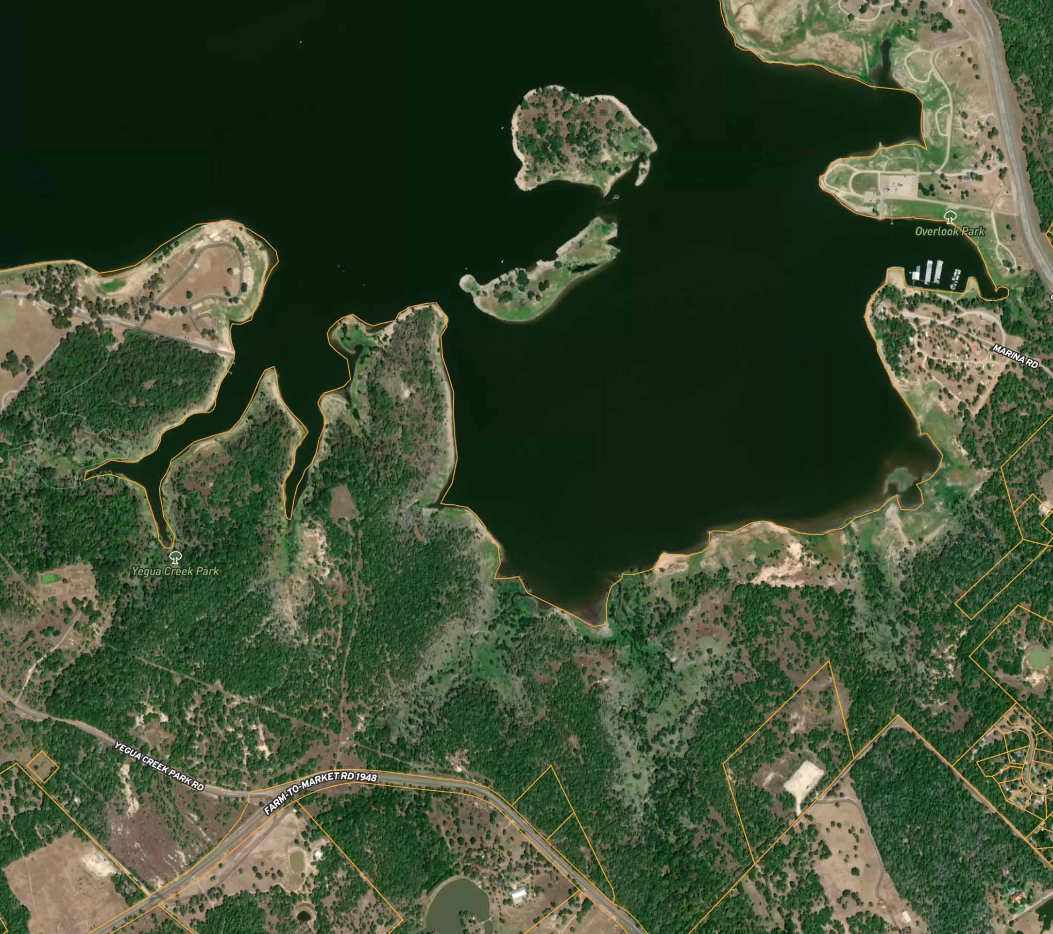
Up-To-Date Aerial Property Views
Crisp, Clear, & Kept Up to Date
Is that construction done? Have they cleared the land yet? Land id gets you the answers and saves you the trip. Frequently refreshed maps on our Premium and Pro plans deliver timely understanding about a property, like landscape changes, new construction, and recent on-the-ground activity.


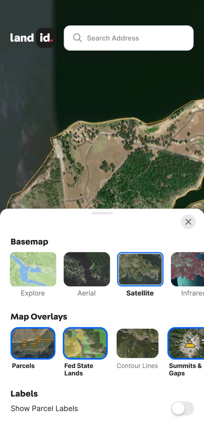
Crisp, Live Aerials, Frequently Updated
Our recent aerial imagery updates deliver high-resolution visuals with more frequent refreshes, available in our Premium and Pro plans. These enhancements allow you to observe landscape changes and even building projects and completion sooner, with exceptional detail, enabling closer zooms to track progress with vivid clarity.

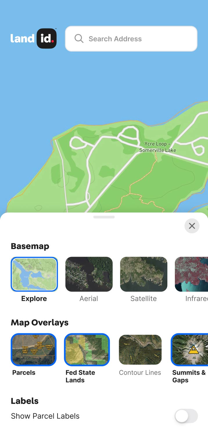
Explore Private Parcel Data & Property Boundaries
Download the Land id app and try for free.

Make Your First Map in 3 Min.
Try for free
Land id®
Normal

Experience Land id® Overlays
Try it For Yourself
Select a tab below to explore Land id® map overlays and uncover hidden details of the land. Discover the wealth of information that lies beneath the surface.

Thank you! Your submission has been received!
Oops! Something went wrong while submitting the form.

Private Parcels
View private parcel information and property lines.
Parcels

Wetlands
USFW-managed inventory cataloging nationwide wetland details.
Water

Water Wells
Well locations registered with their respective state water well management authority.
Water

Surface Water
Hydrological features such as rivers, lakes, reservoirs, and groundwater.
Water

FEMA Floodplain
Pinpoints flood-prone zones, guiding planning and insurance rates.
Water

Contour Lines
Maps elevation changes, connecting points of equal height for geographic topography
Outdoors

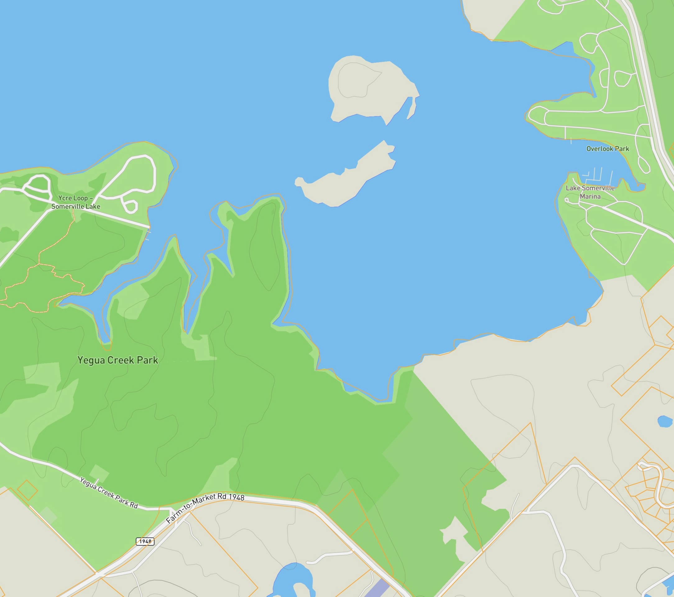
Fed/State Land
Govt. owned, managed by agencies for public recreation, conservation, & resource management.
Outdoors

Summits and Gaps
Peaks: High points. Gaps: Low passes between mountains.
Outdoors

Land Use
A County’s assessment of a property purpose for taxation. Land Use is not zoning.
Boundaries

City Limits
Boundary marking a city's legal extent and jurisdiction, excluding areas beyond.
Boundaries

County Lines
Geographical boundaries demarcating county jurisdiction.
Boundaries

FSA CLU
Streamlined land units for efficient farm management and government support.
Boundaries

Soil Overlay
Earth's surface mix of minerals, organics, water, and air.
Soils

Oil Wells
Oil & Natural Gas Wells from the Homeland Infrastructure Foundation-Level
Infrastructure
Transmission Lines
Details on high-voltage electrical lines: location, characteristics, attributes.
Infrastructure

Substations
Info on substation location, capacity, and attributes.
Infrastructure

Pipelines
Comprehensive info on state's pipelines: location, capacity, substances transported.
Infrastructure

Housing Devs.
View all active projects being conducted by the top 350 homebuilders in the US.
Nearby

Points of Interest
USGS-curated layer with names & locations of two million+ features across the US.
Nearby

Wilderness Areas
Displays federally protected lands managed for preservation and minimal human impact.
Nearby

Fiber Optic Service
Shows current and future planned fiber internet availability.
Infrastructure

Bring the Land to Life
Nothing Sells Like a Map
Creating and sharing visually stunning and informative property maps has never been easier. Try Land id® for free today.

No items found.
No items found.
Make Your First Map in 3 Min.
Try for freeExplore Private Parcel Data & Property Boundaries
Download the Land id app and try for free.
Testimonials
Explore Basemaps
Seven Basemaps. Zero Guesswork.
Get a sharper read on any parcel. With seven basemaps in one platform, Land id helps you move deals forward with fast, efficient, accurate property evaluations.
Explore
This layer highlights natural features and recreational areas, provides topographic details, elevation contours, and vegetation coverage.
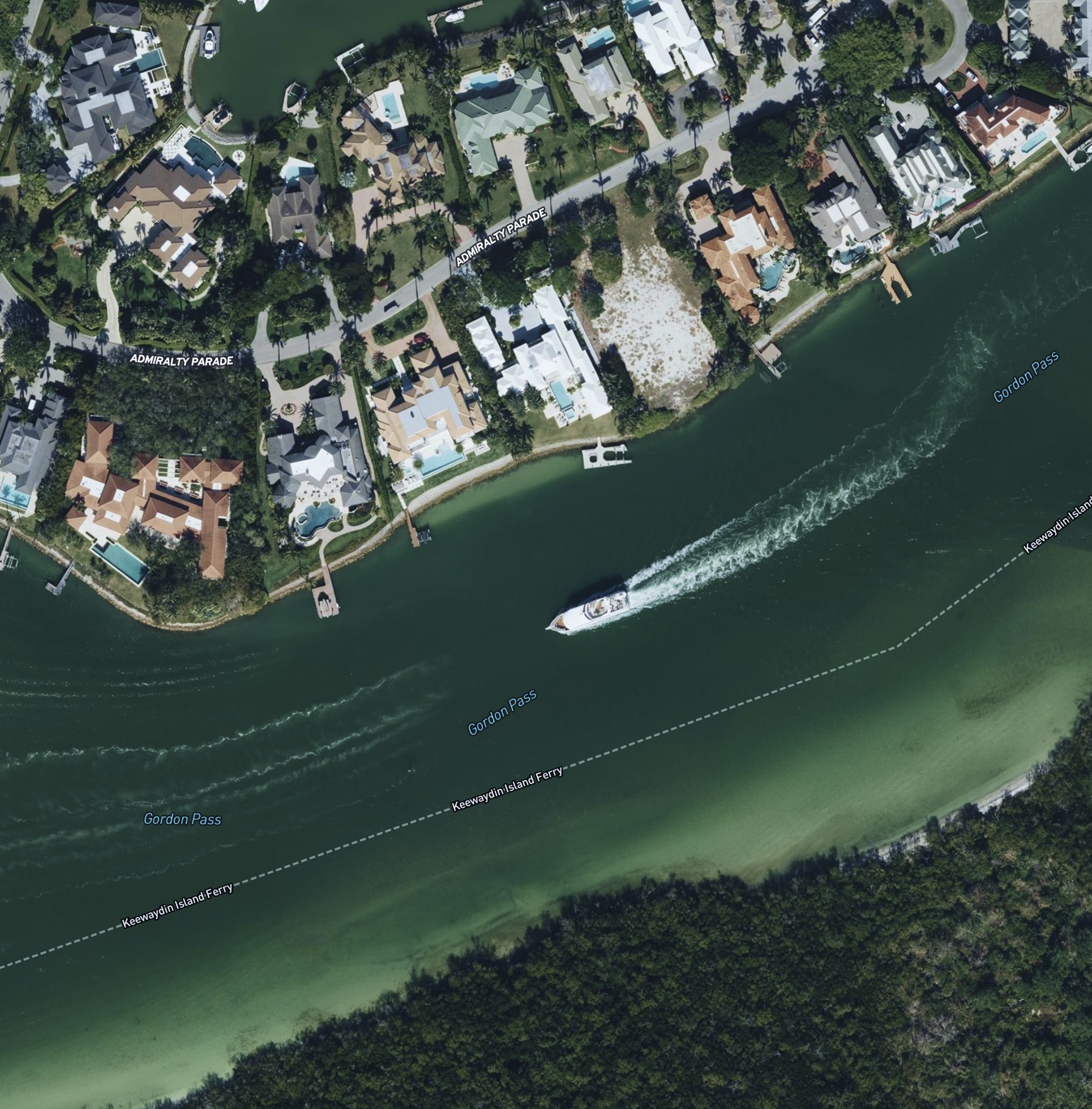
High-Res Aerial
See the land clearly with a high-res basemap made from 100,000+ flights and hundreds of millions of stitched images.
Satellite
Mapbox combines multiple sources of global satellite imagery from commercial providers, NASA, and USGS.
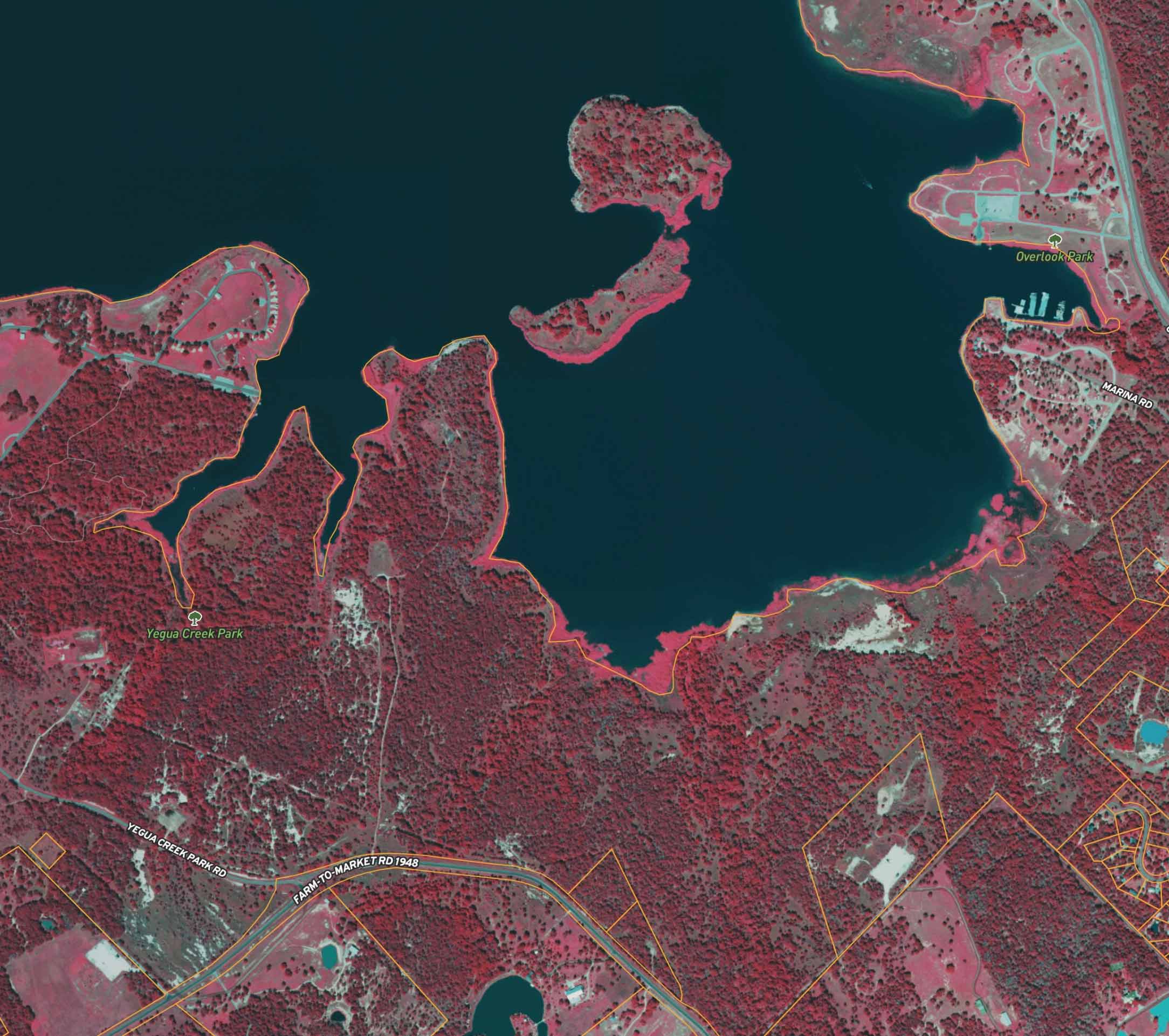

Infrared
Temperature differences show vegetation health, making it a powerful tool for optimizing land use and environmental monitoring.


Vintage USGS
Historical topo basemap that shows changes in land and development over time.
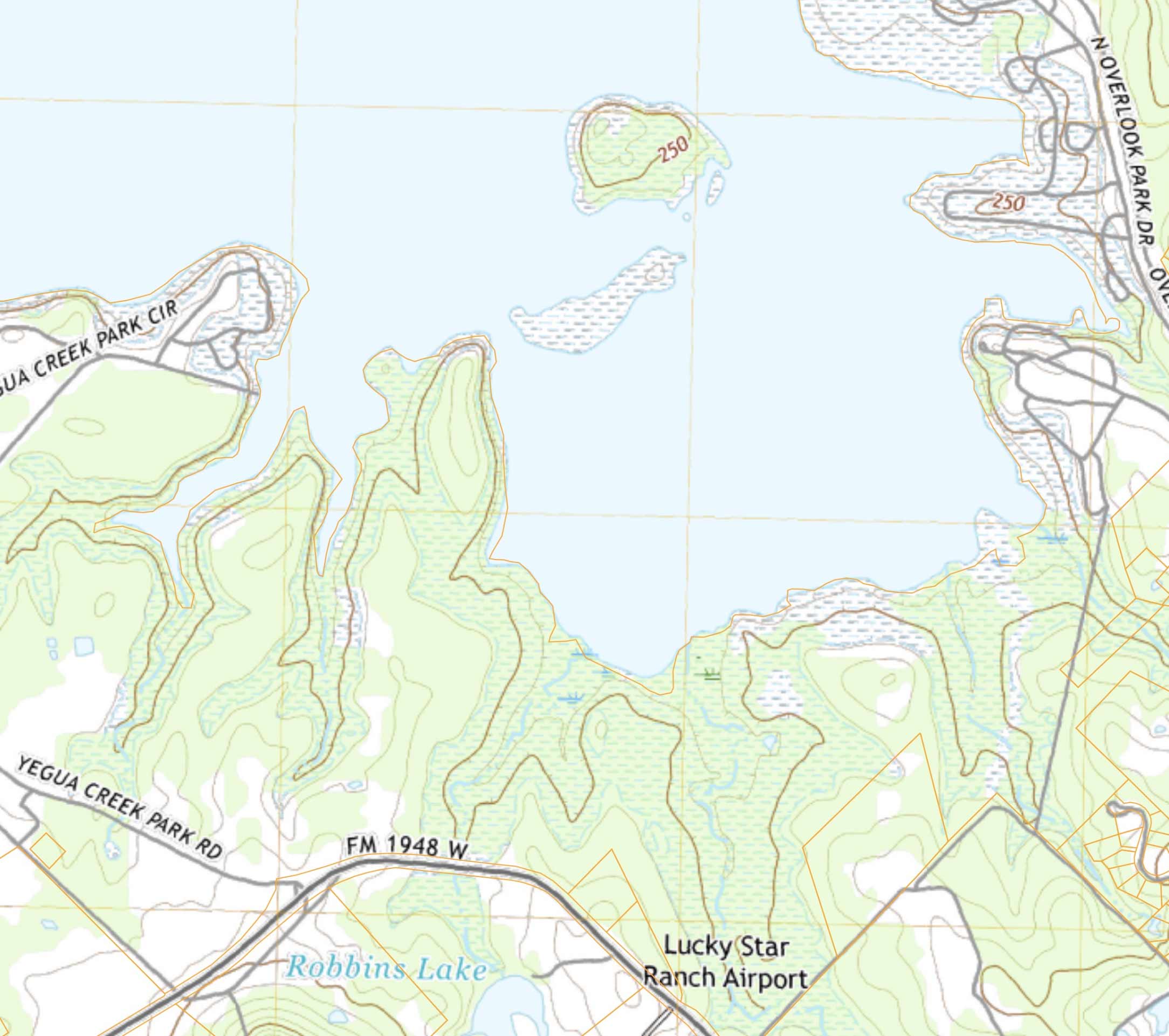

Modern USGS
Topographic basemap that displays the earth's features, such as elevation changes and landmarks, with contour lines and colors.
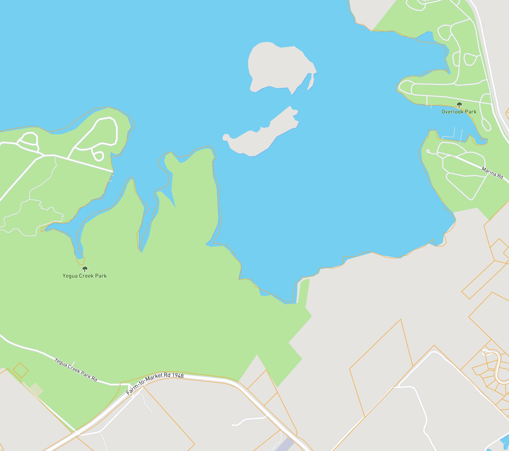
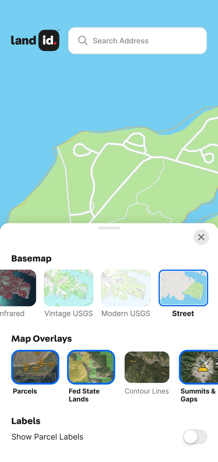
Street
This basemap displays roads, streets, and other transportation infrastructure.
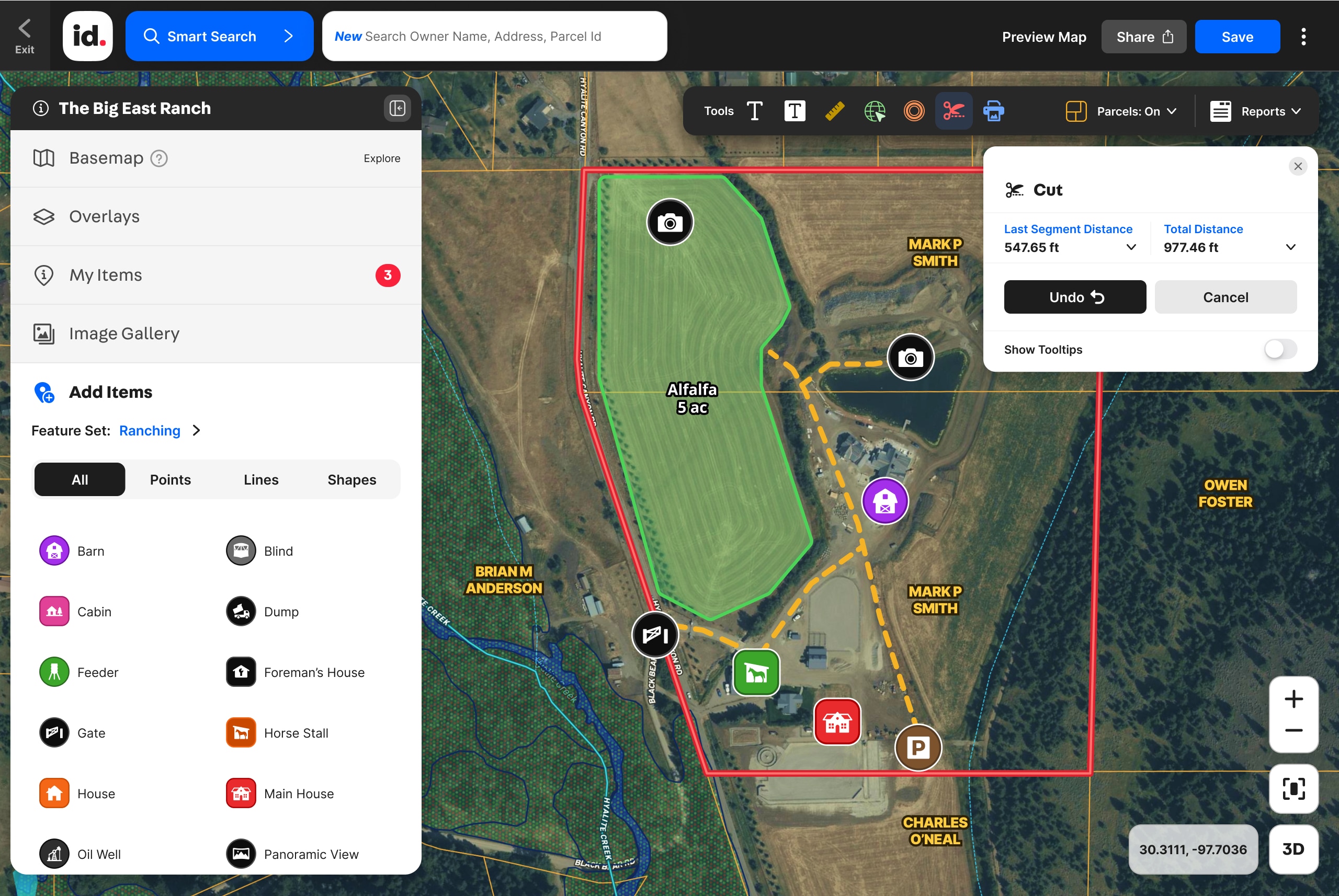

Land id Features
The Mapping App Made to Move Property
User-friendly meets results-driven. Whether you're in the field or in the office, Land id's mapping app lets you explore, understand, showcase, and move property like never before.
Land id Features
The Mapping App Made to Move Property
User-friendly meets results-driven. Whether you're in the field or in the office, Land id's mapping app lets you explore, understand, showcase, and move property like never before.


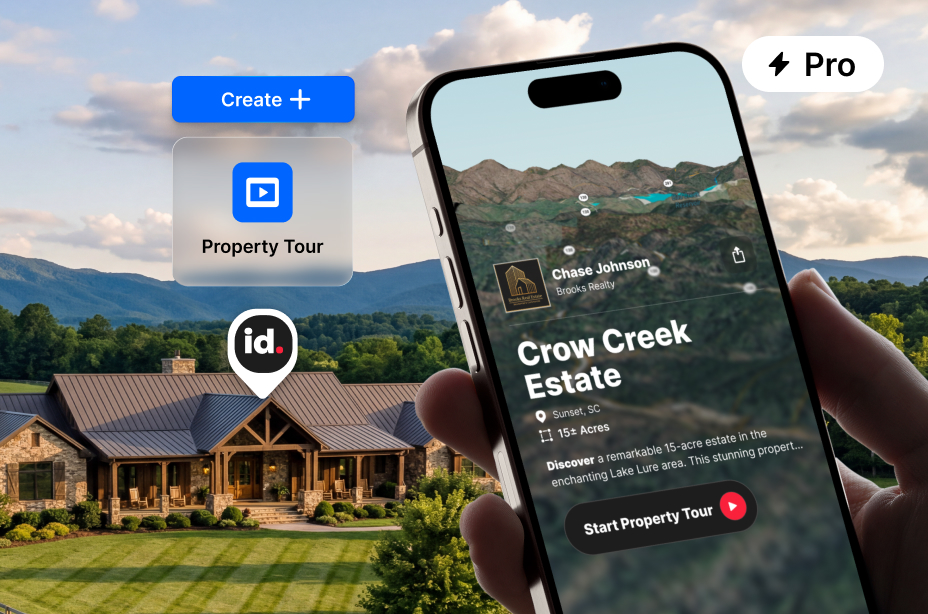

AI-Powered Tours for Any Property
Create a shareable slideshow tour of any property with a few clicks. Show 3D views, boundaries, soil data, water features, and more. No design work required.
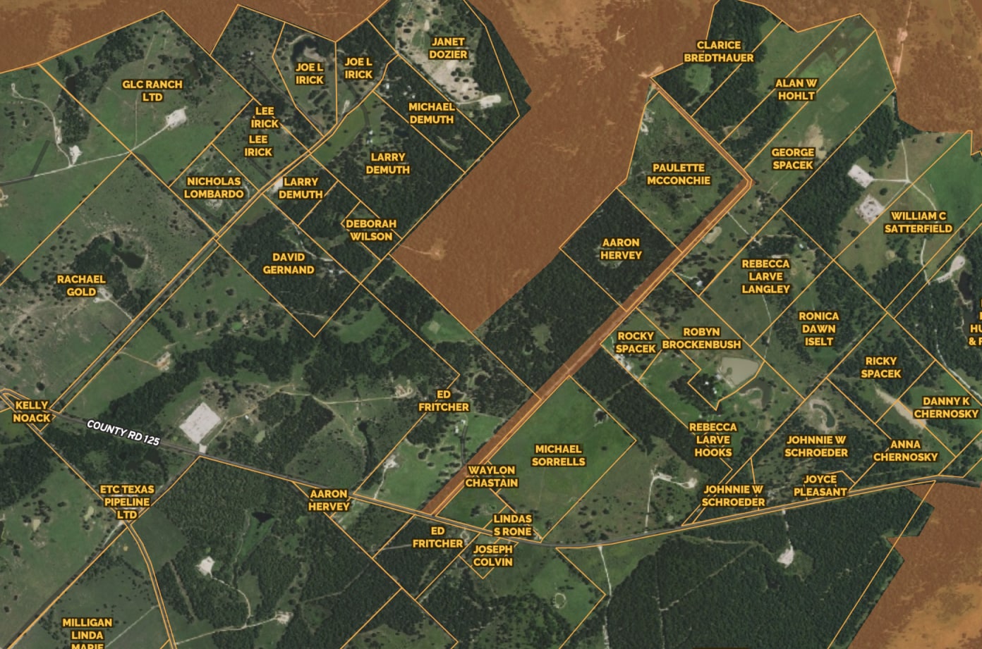
Access Nationwide Land Owner & Property Line Info
Make informed decisions with our Parcel layer. Get detailed information about land parcels, including ownership, zoning, and property boundaries. Easily search parcels by APN number or landowner name, and extract mailing lists from landowner addresses.
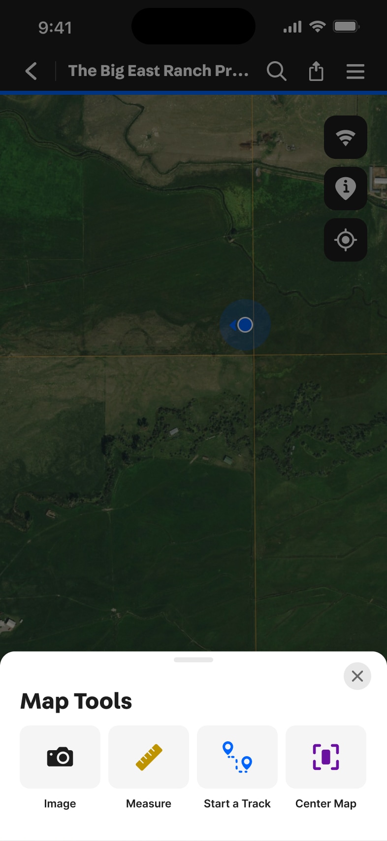
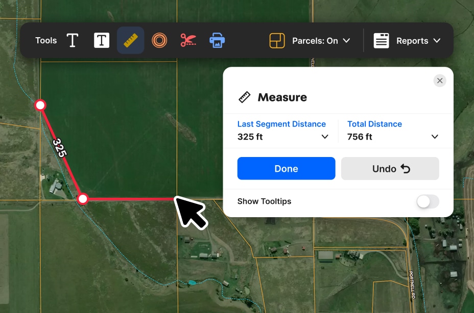
Measure Anything Easily & Precisely
Eliminate eyeballing and guesswork with easy-to-use measurement tools. Draw shapes, create land boundaries, and precisely measure distances right from your desktop or phone.
Layer Image & Survey Overlays
Turn every map into a vivid property story. Use photos and videos to highlight stand-out features within the context of the surroundings.
Explore Private Parcel Data & Property Boundaries
Download the Land id app and try for free.
Make Your First Map in 3 Min.
Try for freeJoin Land id & Start Designing in Canva Today
Try for free
Demo request received.
One of our experts will reach out shortly to schedule your demo.
Oops! Something went wrong while submitting the form.
FAQs
No items found.
Explore Private Parcel Data & Property Boundaries
Download the Land id app and try for free.
