
Feature Drops: CarPlay, Mobile Comps, Light Pollution & More
Our newest features deliver more useful property context, where and when you need it most.
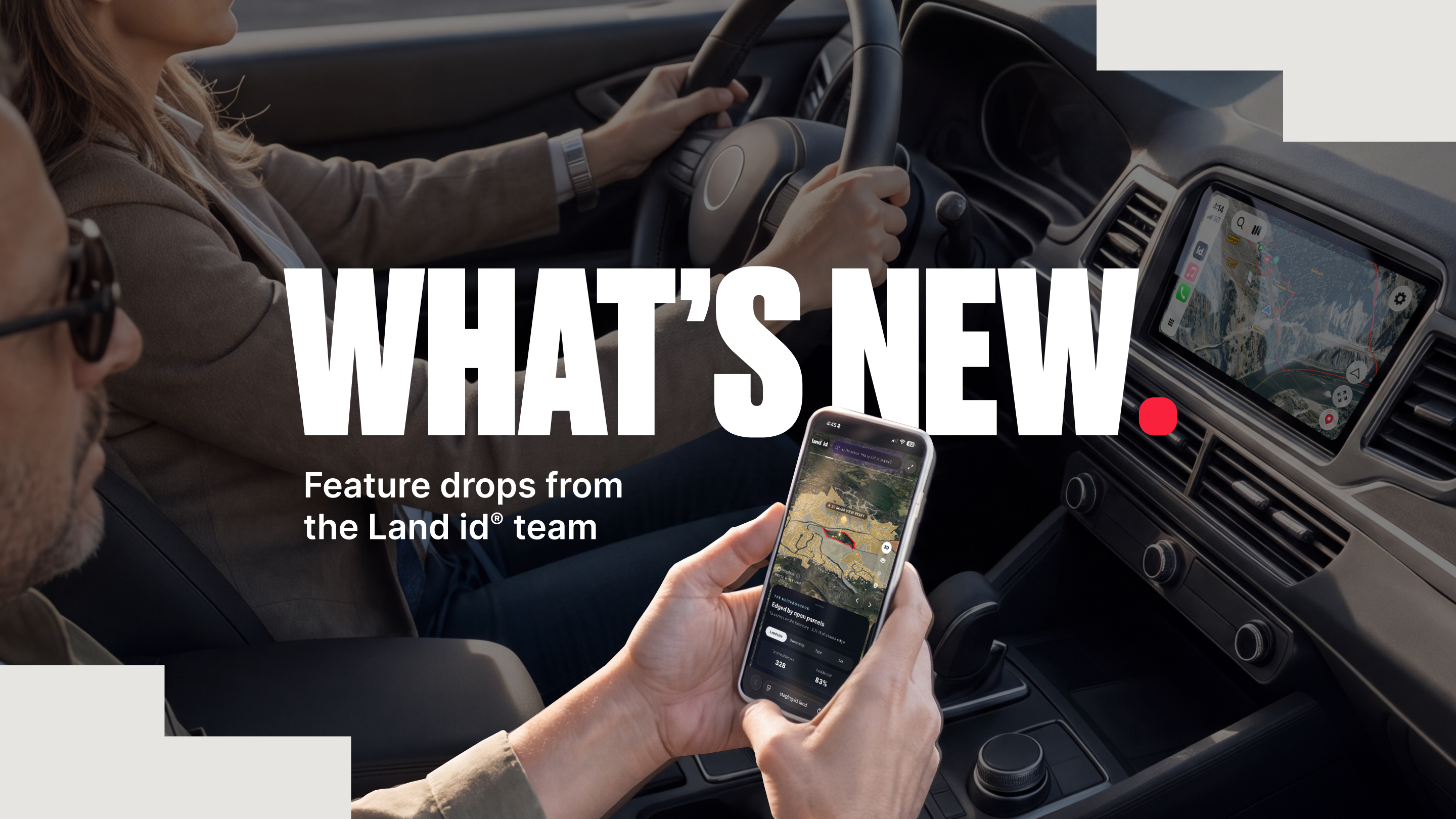



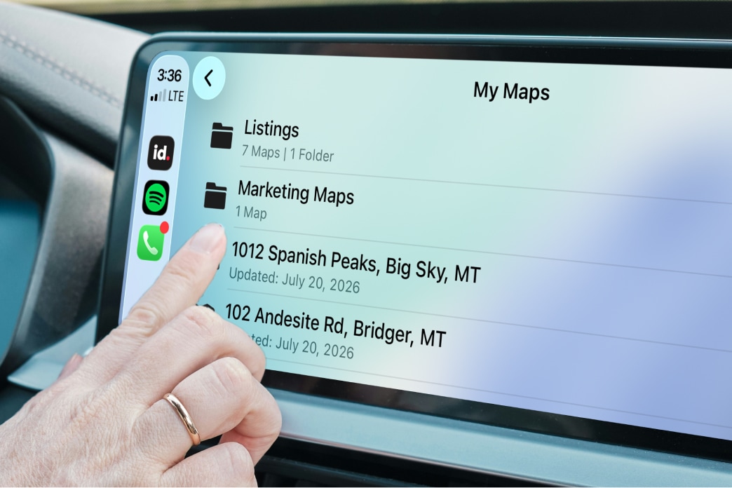
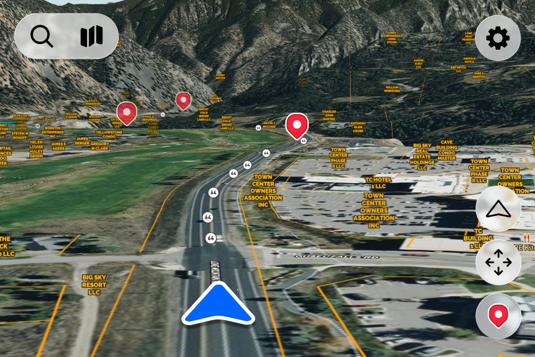
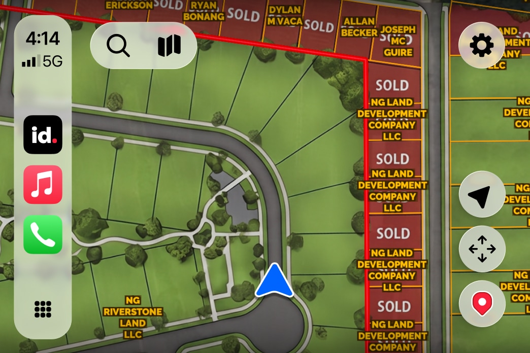
Bring your property research into the real world and transform your vehicle into an extension of your office. Land id for CarPlay lets you drive your saved maps in real life, see parcel boundaries as you drive, and give clients a more informed property visit—without juggling devices.
Login to Land id and connect your iPhone to Apple CarPlay to bring your saved maps to your dashboard in seconds.
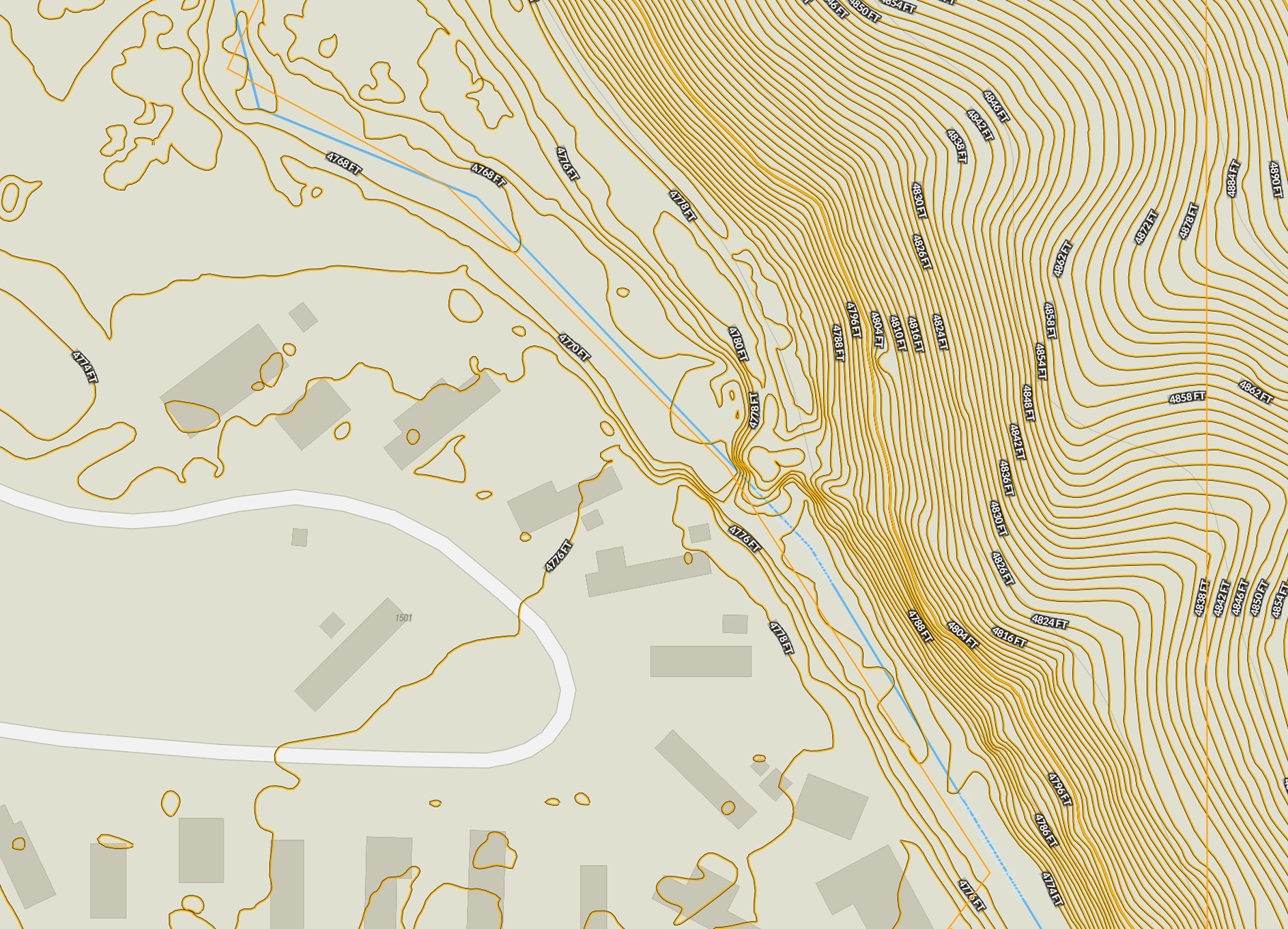
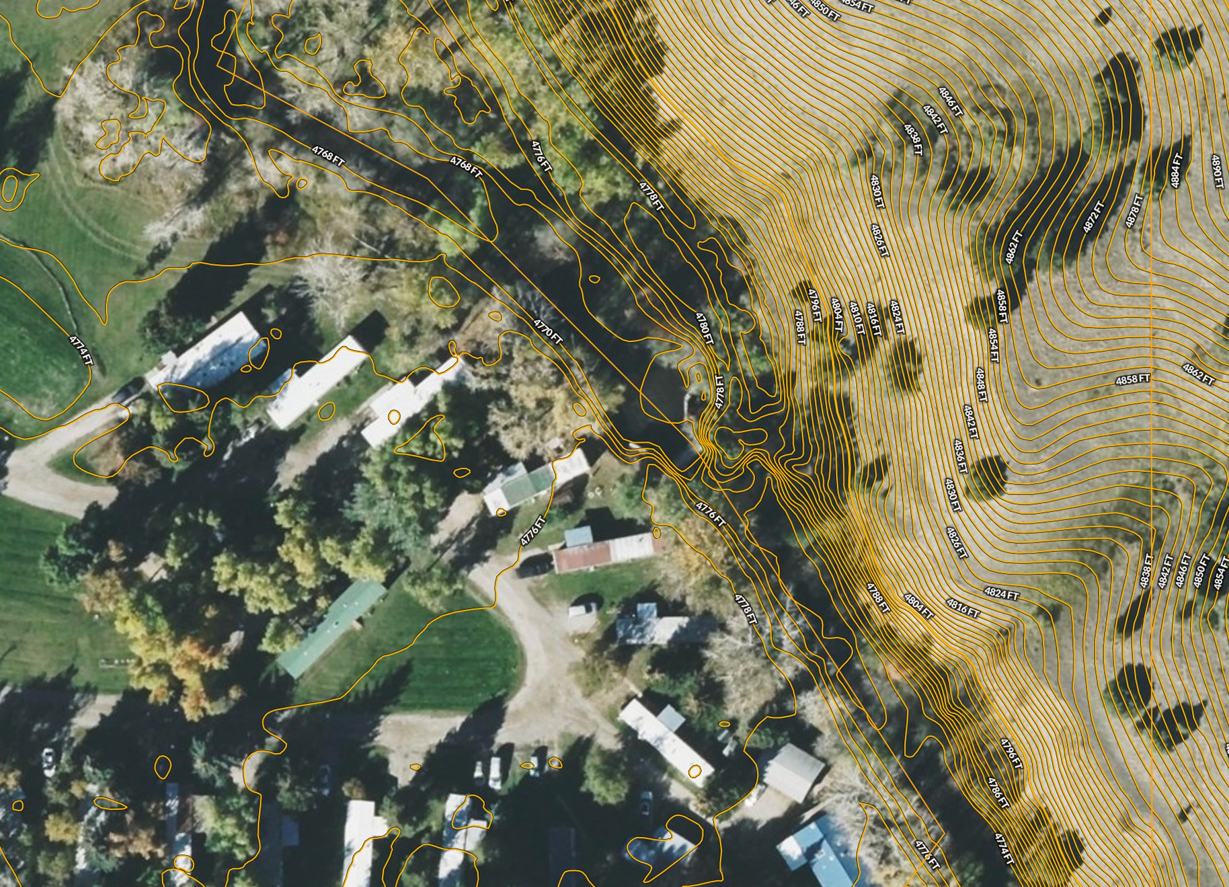
From nationwide ownership and boundaries to land use, terrain, soils, infrastructure, and more, Land id brings the details that matter together so you can understand any property and act on what you find. Great for anyone needing detailed property data, from landowners to investors to agents and brokers.


See owner names and property portfolios, mailing addresses, acreage, land use, and more alongside property boundaries, so you can quickly research a property, map what matters, and share what you find.
Uncover mortgage, assessment, ownership, valuation, and property lines— information that helps you understand what a property is worth, who owns it, and the details that could shape your next move.
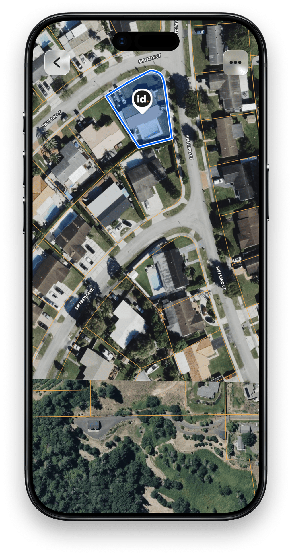
Get key building details to understand existing structures, assess value, evaluate their impact on the property, and spot details that could affect your plans.


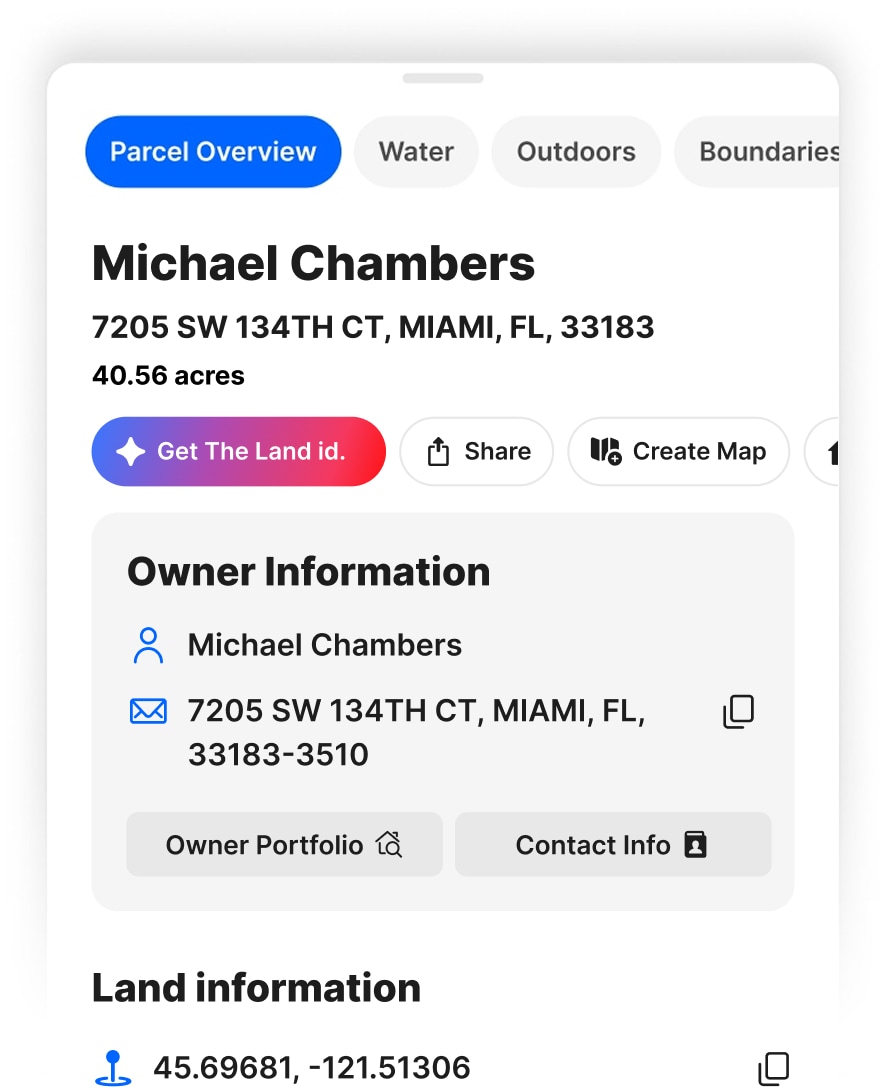

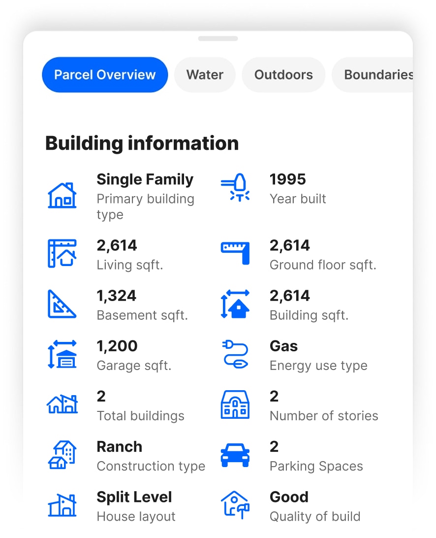
Apple CarPlay Mapping App
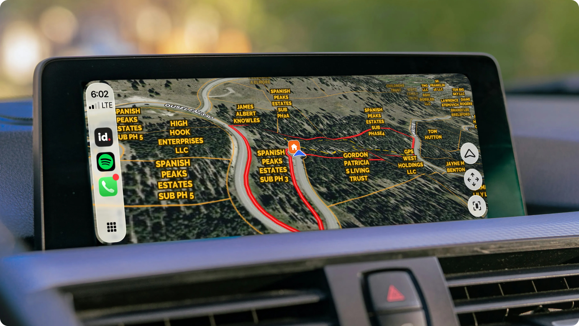
Saved Land id maps (Premium and Pro users) sync to CarPlay so you can follow your location along plats, boundaries, waypoints, and other mapped details in the real-world context of the land itself. An essential part of your workflow, whether you're meeting a client for a showing, scouting land, or assessing a new property.
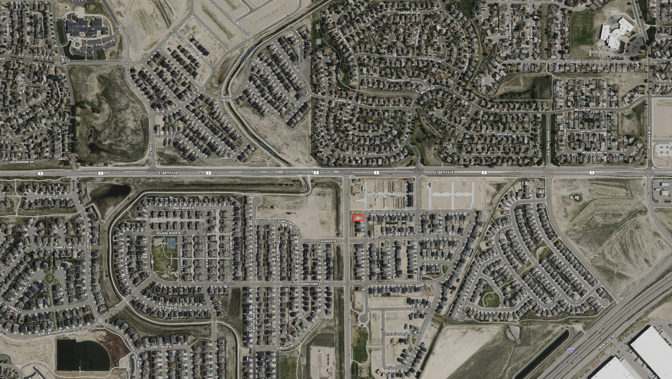
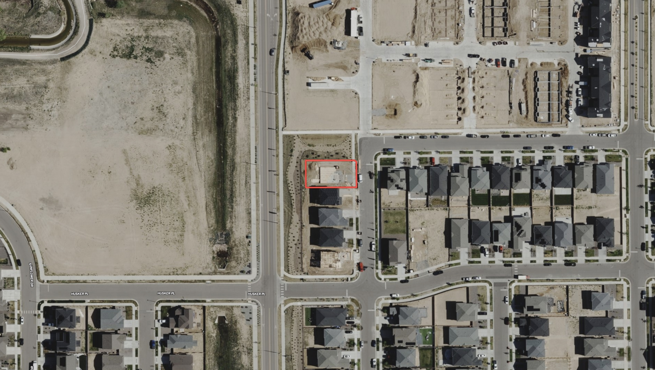



Download the Land id app and try for free.


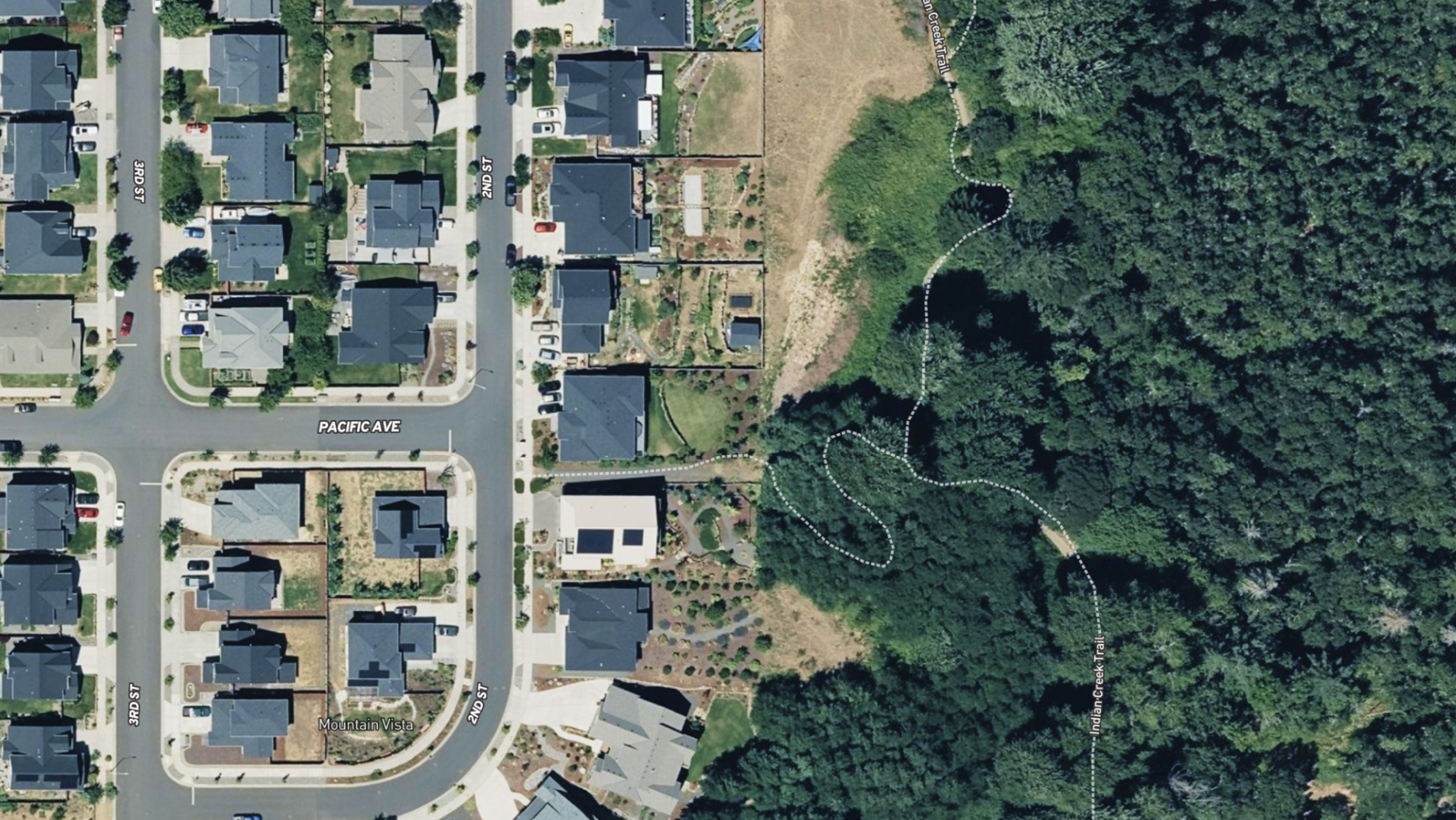

Experience Land id® Overlays
Select a tab below to explore Land id® map overlays and uncover hidden details of the land. Discover the wealth of information that lies beneath the surface.

How It Works
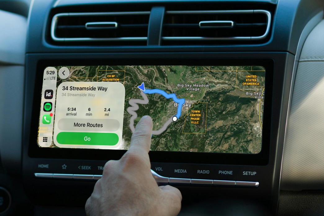
From driving saved maps in real time to built-in turn-by-turn navigation (Pro users), Land id for CarPlay keeps the property you're headed to close at hand. Access saved maps, parcel boundaries, owner labels, select basemaps, and live location with a tap, all in a sleek interface designed for the drive.
Download the Land id app and try for free.


Download the Land id app and try for free.

Download the Land id app and try for free.
