


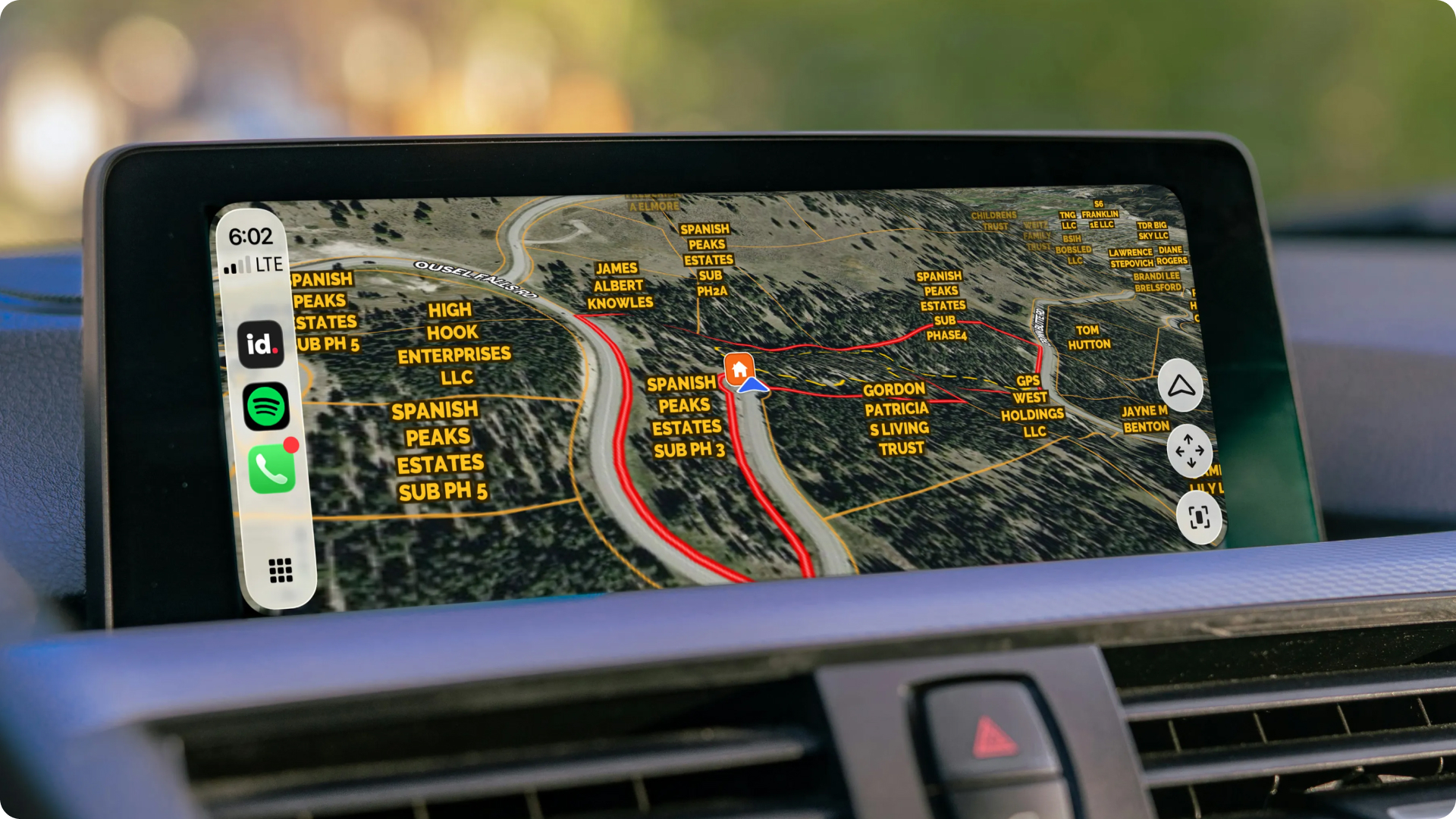
If you’re a real estate pro, you constantly move between the digital and physical world. You research and share property on your phone, build and analyze maps on desktop screens, and then drive into remote environments where connectivity can be dicey.
Land id for CarPlay ensures your work travels with you, wherever you go, with property, navigation, and mapping information a tap away on your dashboard.
Key Takeaways
- Land id for CarPlay enables you to drive your saved maps in real time—ideal for property pros whose vehicles are an extension of their office.
- Saved properties and maps, recent address searches, waypoints, select basemaps, and turn-by-turn navigation are one tap away.
- Available now for Land id Pro subscribers on iOS.
From the Desk to the Dashboard
Most of your day already happens across three screens: desktop for research, mobile for the field, and now your car for everything in between. Land id for CarPlay is built for these on-the-go workflows, allowing you to access and drive your saved Land id maps in real-time.... plus so much more.
Who This Is For
Agents and brokers whose vehicles are their second office. Whether you’re a residential specialist driving to multiple properties a day, or a land and ranch agent traveling to meet out-of-state buyers, Land id for CarPlay puts saved maps, waypoints, property owner names, and boundary lines you use at your desk in front of you on the drive out, without a second stop to check your phone.
Land buyers get the same benefit from the passenger seat or driving out to look at a property on their own. Get a sense of the land with boundaries, ownership labels, and high-res basemaps before you set foot on the land.
What You Get
- Launch turn-by-turn directions from an address search or from recent destinations directly on your CarPlay dashboard.
- Browse saved Land id maps that automatically sync from desktop and mobile, so you're ready before you arrive.
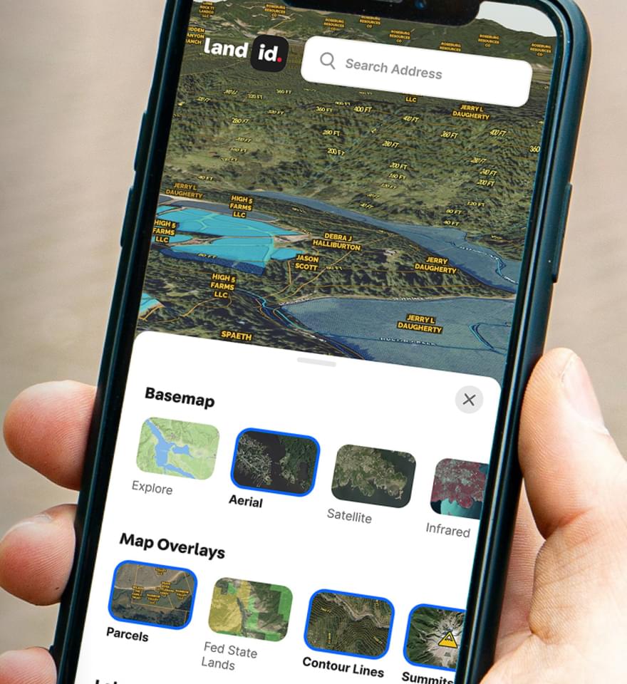
- Switch between Explore (topo), Satellite, and High-Res Aerial basemaps to better understand the property and surrounding landscape.
- Keep parcel boundaries and owner labels in view while driving to understand where you are in relation to nearby properties.
- Follow your live location against parcel boundaries, making it easier to navigate unfamiliar properties and rural roads.
- Drop waypoints with a tap and automatically sync them back to Land id for follow-up from desktop or mobile.
Why You’ll Love It
- See the land, not just the road, with easy access to existing maps, waypoints, and property owner names.
- Improve efficiency with easier transitions between your desktop, mobile, and driving experience.
- Give your clients a differentiated experience and show off your expertise before you even arrive at the property.
How It Works
Your Research, Your Route, One Platform
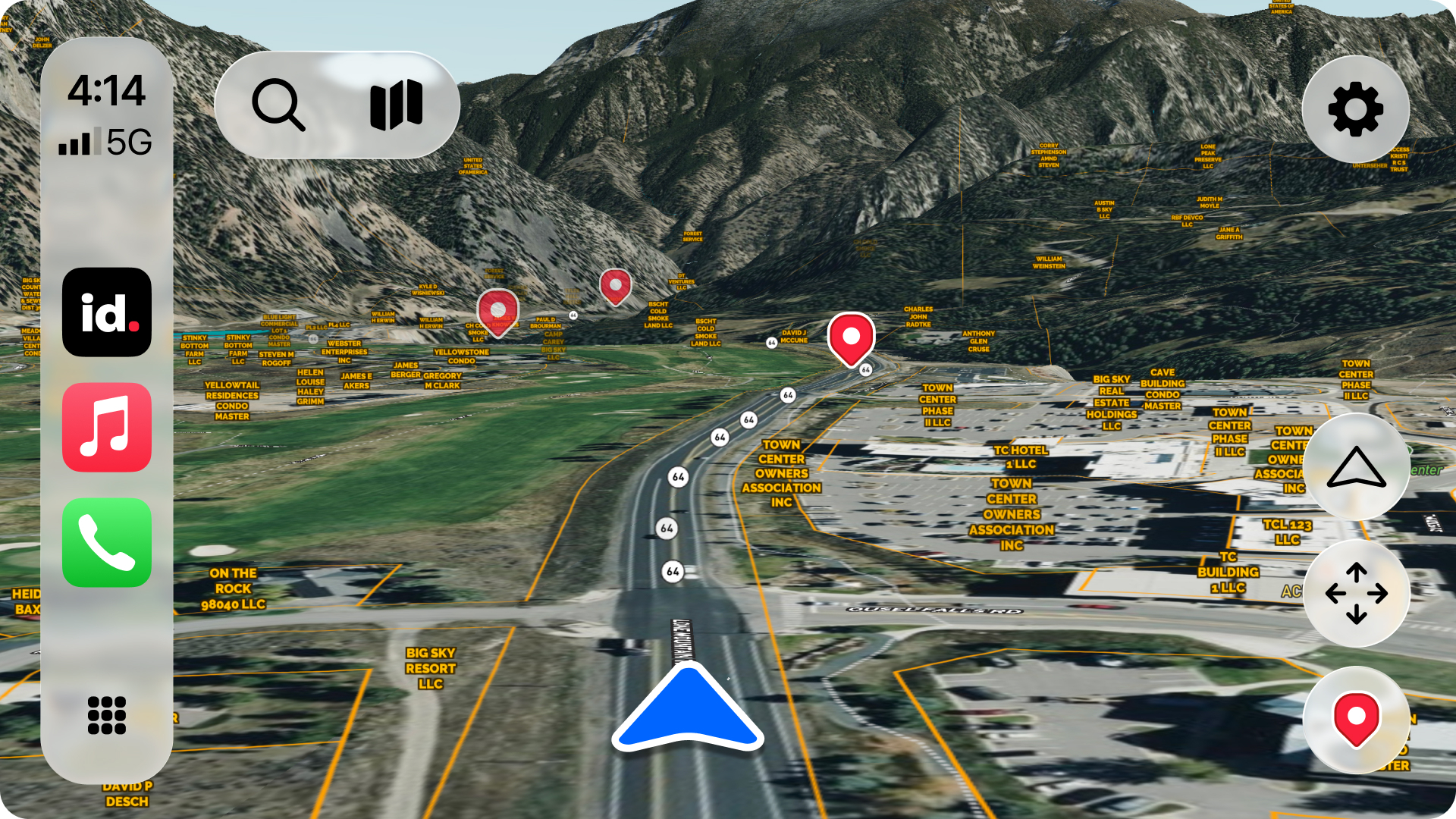
You already research and mapped the property. Land id for CarPlay means you can take your work with you and experience your map in real life, without the hassle of switching devices.
Whether you're touring a buyer through 100 acres or checking boundaries on your way to a listing appointment, a streamlined Land id experience gets you there.
Get Started With Land id for CarPlay
Land id for CarPlay is available now for Land id Pro subscribers on iOS. Read more in our Help Center article to understand how it works. Then, log in to your Land id account to set it up, or start a free 7-day trial to try it today.
FAQs
See Land id In Action
Research, analyze, share, and showcase real estate, all in one place.
Continue Reading
Craig Rowe
How to Work With Out-Of-State Buyers: Tips for Real Estate Agents


By Land id
Agents in emerging markets will benefit from an influx of aspiring buyers. Get tips on how to make the most of these potentially lucrative leads.
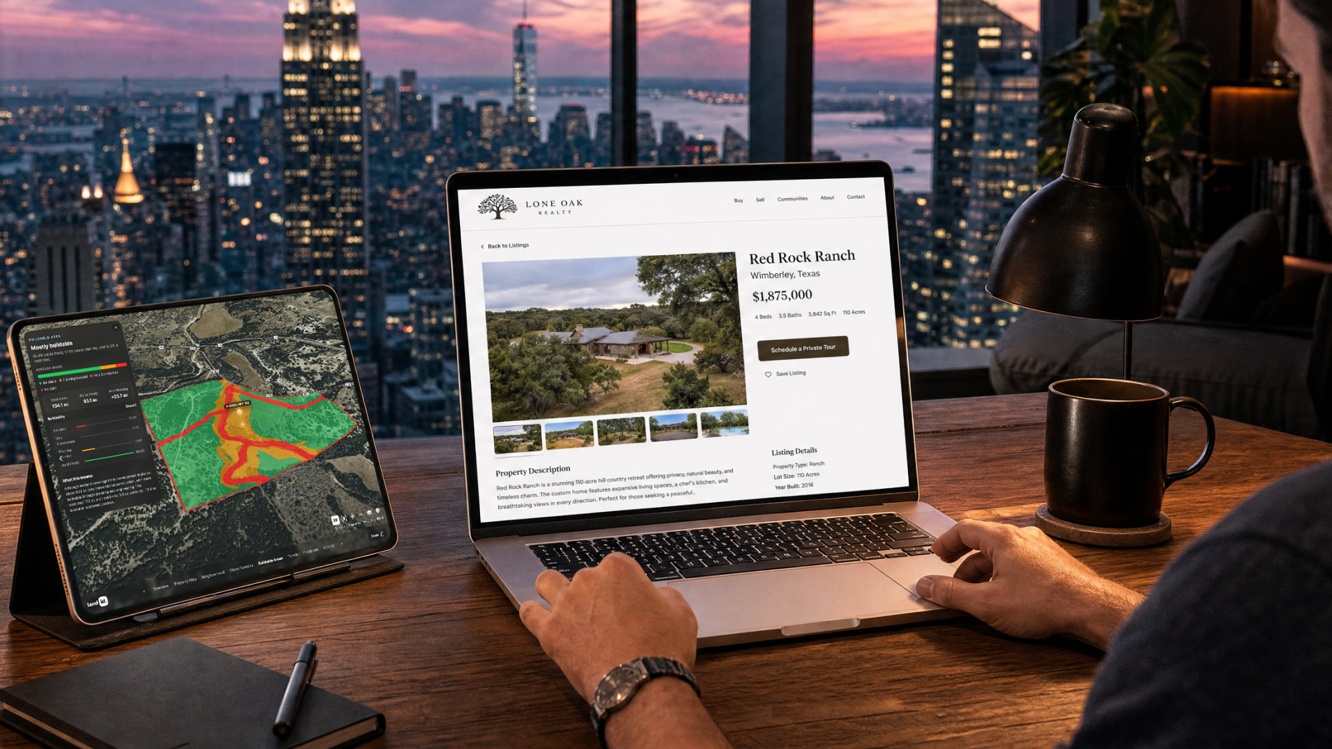
Absentee Owner Lists: What They Are, Why They Convert & How to Get Them
By Land id
Absentee owner lists are one of the most reliable ways to find off-market opportunities before your competition does. Here's how to do it in Land id.

Explore Private Parcel Data & Property Boundaries
Download the Land id app and try for free.


