In early 2020 as the Coronavirus began to spread across the globe, much of the world became glued to maps showing where new cases were appearing, where hot spots formed, and how the virus spread between countries and states. These epidemiology maps serve as a prime example of the value of a Geographic Information System (GIS) in our everyday lives, but for professionals in a wide range of industries, the value of GIS goes even further. For instance, GIS data is used in environmental conservation to tackle challenges such as soil erosion, deforestation, and other environmental risks, and in advertising, marketing teams use GIS to identify target markets and plan advertising campaigns.
Considering the complexity of some of the projects that utilize GIS, it should come as no surprise that GIS technicians have emerged out of the woodwork to help businesses make the most of their GIS data. A GIS technician can take your location-based data to a whole new level by creating data visualization models that will improve analysis, reporting, and decision making.
What is a GIS Technician?
A GIS technician is someone who compiles and interprets cartographic data from multiple sources to design maps and manage a GIS database. GIS technicians are typically very experienced and are required to first earn a bachelor’s degree in either engineering, computer science, geography, or, a similar field. On top of the required degree, a technician is also expected to have knowledge of modern cartographic standards, computer programming, and data analysis.
As technology progresses, GIS technicians are also required to maintain up-to-date knowledge of advancements in GIS technology, database management, and design software. While not required, having extensive knowledge of design software like AutoCAD can be extremely beneficial. When looking for a top-class technician, look for someone who can use these diverse skills to transform raw geographic data into usable maps and documents for business purposes.
What Do They Do?
While the details of a GIS technician’s day will vary depending on the industry they work in, many of their job duties are shared across the field. From being a database administrator to creating maps, or manipulating digital land data, GIS technicians have a variety of tasks they may tackle on a day-to-day basis.
Compile Geographic Information
When data can originate from a variety of sources, including remote sensing, surveys, satellite imagery, aerial photography, drone footage, or existing maps, compiling and interpreting that disparate information can be difficult. This is one of the main jobs of a GIS technician and, like any good datatician, they research and verify the geographic data to ensure the most accurate dataset. Once the spatial data is gathered, the technician enters it into the GIS database.
Use Software to Draw Understandable Maps
Once the data has been collected, a GIS technician will transform the data into map layers creating a visual model to allow for easier data analysis. While this used to be done by hand, technicians now rely on advanced computer software to help with this process. Though the advancement of technology has, in some ways, made the process easier, with it has come an increase in more advanced data mapping techniques.
On top of creating the maps, it is also the job of the GIS technician to ensure that the maps they create are easily understood by their viewers. To do that, the technician will need to understand what the purpose of the map is and who its target audience will be. Once they know this, they can choose from a multitude of options, like a point map, cluster map, heat map, or spider map, to represent the information. A good technician will be able to develop a map that is not only accurate but easy for a person to understand and draw conclusions from.
Manage A GIS Database
Over time, data changes. This means that the GIS database has to be updated to stay current. Whether archiving old data, adding new data points to the dataset, or simply addressing any issues that arise, a GIS technician is the one to ensure that the database is kept up to date. This becomes incredibly important with how quickly data may update.
Do I Need to be a GIS Technician to Use GIS Software?
The short answer is no.
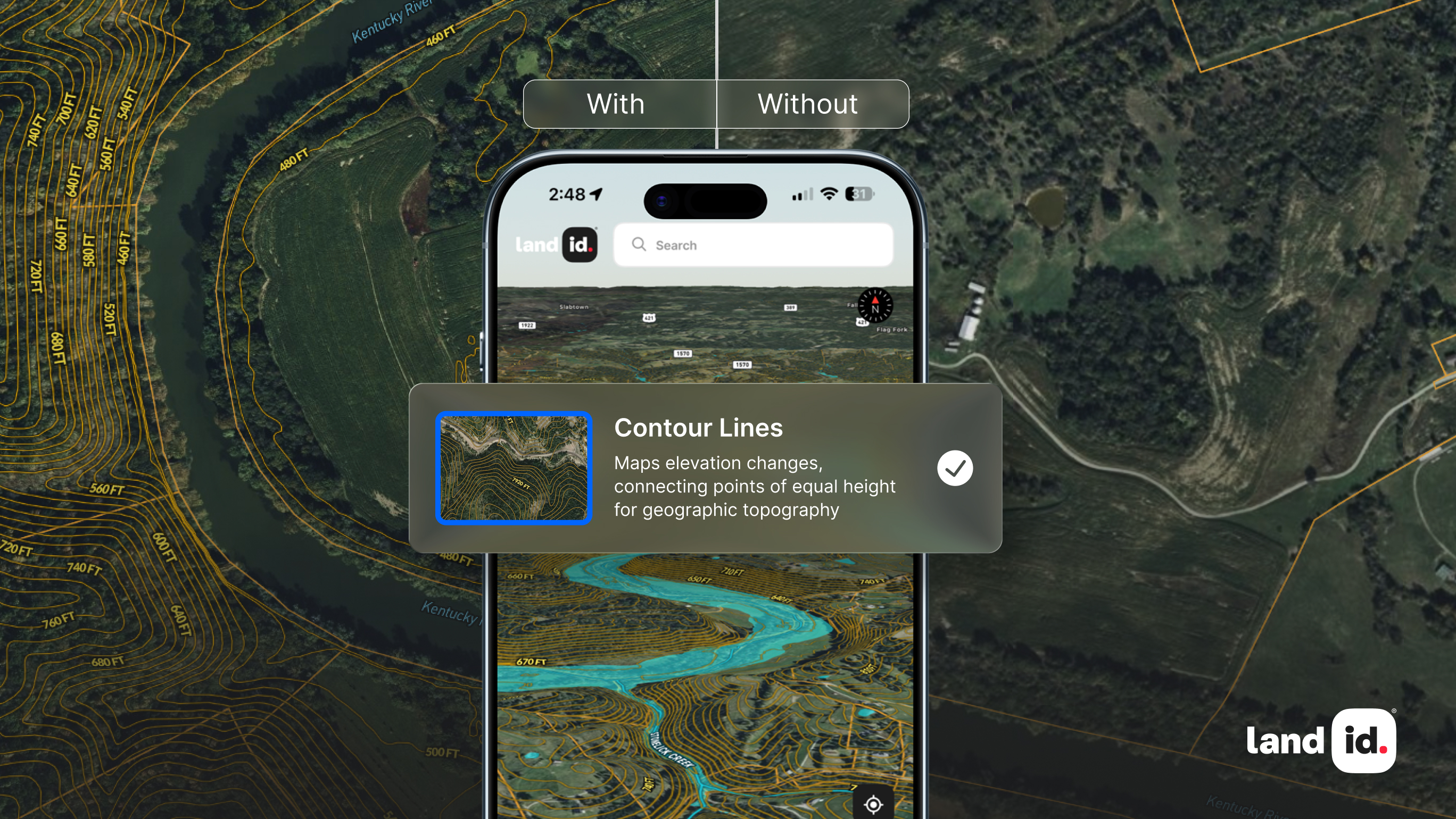
You don’t have to be a GIS technician to utilize GIS software. Whether you’re a professional with decades of experience or you’ve never used GIS software in your life, you’ll love the GIS capabilities Land id® (formerly MapRight) has to offer. We offer an easy-to-use toolbox that makes mapping the land and its many features a simple and intuitive process.
With eight different GIS base layers, nearly two dozen Land id® layers and countless styling and customization options, your Land id® maps can be as simple or complex as your needs require. You can even build your own custom databases to visualize proprietary data however you choose. On a Land id® map, the options are truly endless.
What you’ll end up with is an interactive map that’s not only beautiful, but provides the insights you need to plan and execute your projects. And when the time comes to share your findings, we make that easy, too. You can send your map via text, over email, or upload it online with the embed script we provide. Are you ready to streamline your next land-based project? Start your free trial of Land id® today!
FAQs

Continue Reading


