


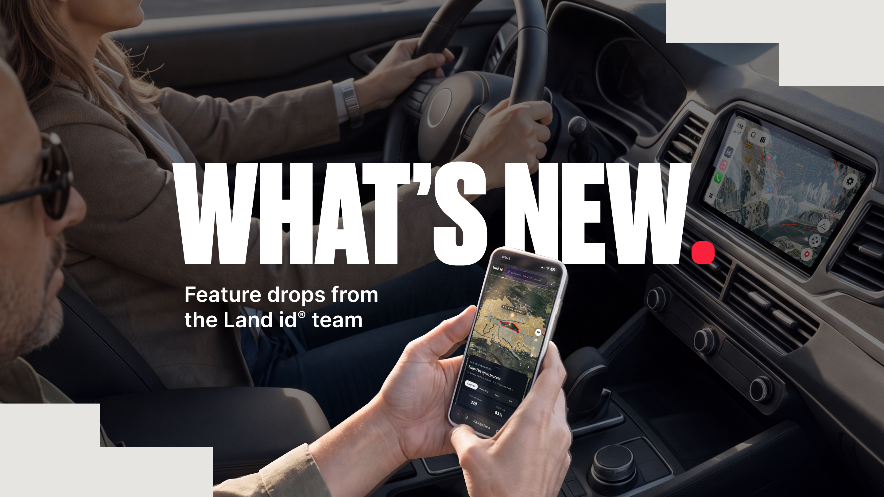
Property work doesn't always happen behind a desk. You're researching from the office, checking details from the field, driving between properties, and trying to make sense of a growing amount of information along the way.
A few of our latest Land id® updates are designed to make that work a little easier by giving you more context where—and when—you need it most.
Here's what's new.
Insights on the Move: Land id for Apple CarPlay
If your work regularly takes you from your desktop to the driver's seat, you now have another way to bring Land id with you.
Land id for Apple CarPlay is available for Land id Pro users, giving you a simplified, vehicle-friendly view of key property information while you're on the road. For real estate agents, Land id on the road brings due diligence to life—especially when you’re touring an unfamiliar site or showing multiple properties in a day.
In free-drive mode, you can see nearby parcel boundaries and parcel owner names, switch between Explore, High-Res Aerial, and Satellite basemaps, and use a 3D terrain view. You can also open saved Land id maps, drop a waypoint at your current location, and search for an address to start turn-by-turn navigation.
Read our CarPlay Help Center article to get full details.
Comparable Sales Reports: Enhanced Filtering & Mobile Reports
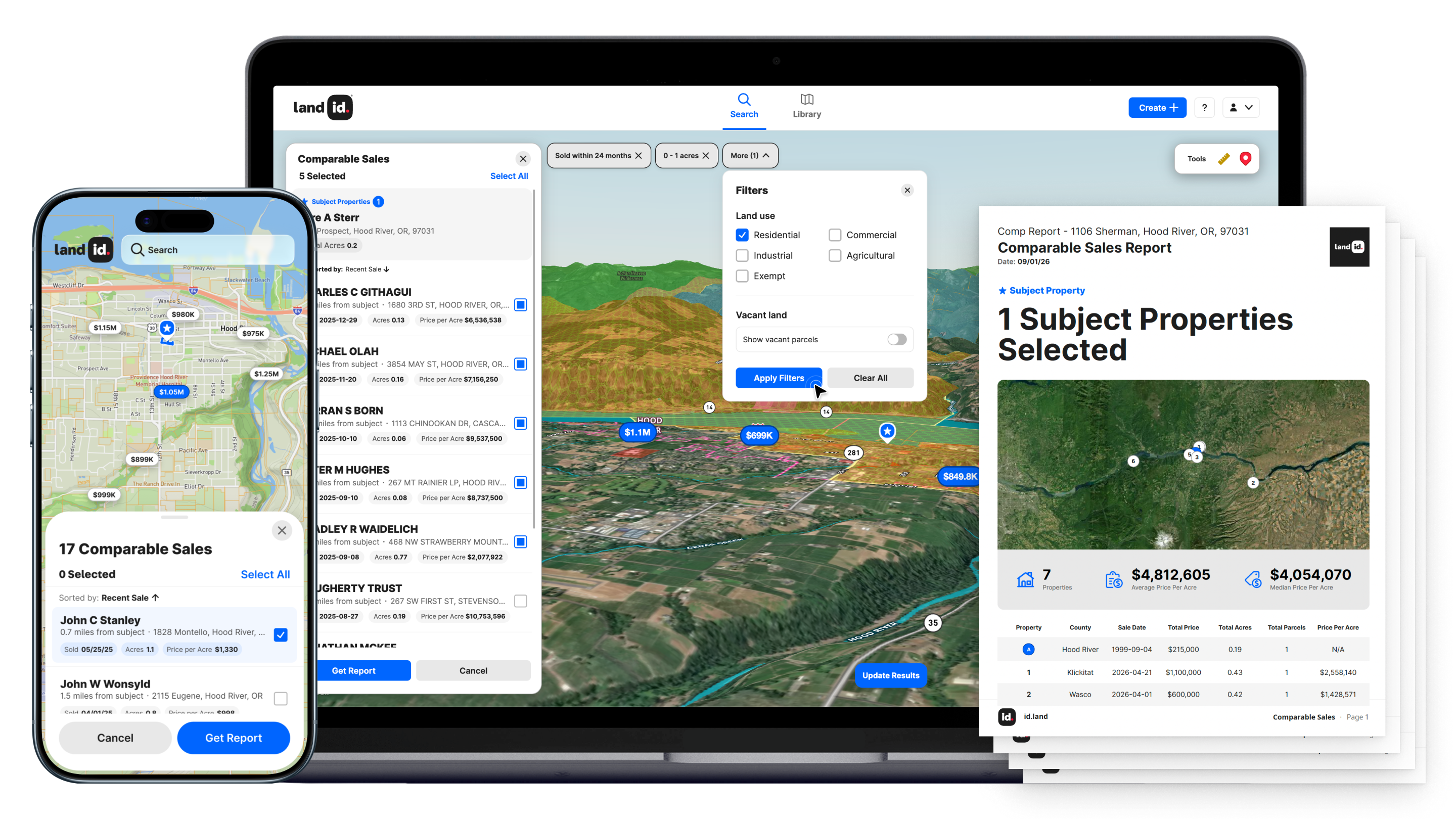
We have two big improvements to comparable sales reports in Land id.
First, comp reports aren't tied to your desktop anymore. Land id Pro users can now create and share comparable sales reports from the Land id mobile app, giving you another way to review property and market context on the fly.
That could mean:
- Quickly checking comps while you're at a property.
- Preparing for a conversation between appointments.
- Pulling up sales data when a client question comes up in the field.
Second, you can refine your initial comps when you’re back at your desk, where new, more robust filtering is now available.
Get more details about comparable sales reports for our mobile app in our Help Center.
See a Property After Dark With the Light Pollution Overlay
Some property characteristics don't reveal themselves until the sun goes down.
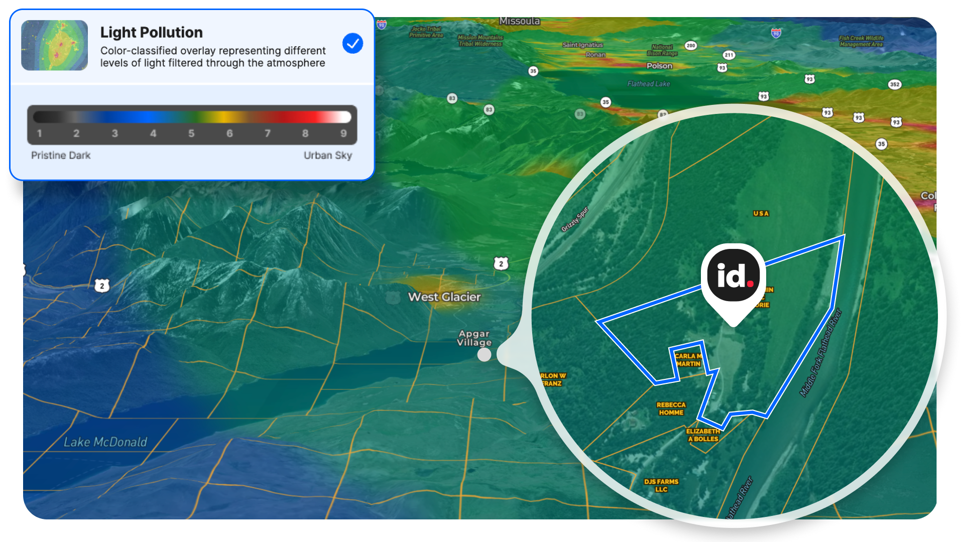
The new Light Pollution Overlay enables you to understand and compare nighttime light conditions across all 50 states directly from any Land id search or map.
Built from NASA/NOAA satellite imagery, the overlay measures artificial light visible from space, also accounting for surrounding skyglow from nearby towns and cities.
For privacy, lifestyle, and planning, understanding light pollution matters because a property can sit well outside city limits and still have its night sky affected by light from miles away.
We designed the scale with extra detail at the darker end, making it easier to distinguish a truly dark location from one that's simply far from a major city.
For rural, recreational, ranch, mountain, and retreat properties, this can add useful context to the property story. You can compare locations for dark-sky conditions, get another visual indicator of surrounding development, or simply better understand what nighttime might feel like at a property—something you otherwise wouldn’t get a sense of until after purchase.
Check out our Help Center article for all the details.
And We're Working on What's Next
Land id’s rich data sources, maps, and Property Tours tell you more a property than any other source on the market.
But finding information is only part of making a good property decision. The harder part is understanding what's important and interpreting how different pieces of information connect.
That's the problem we're solving next.
We're building a new experience in Land id designed for decision-making—an experience to help you see, read, understand, and most importantly, act on complex property data quickly and confidently.
We're prepping for this release in the coming weeks. In the meantime, we can say this: Land id is thinking beyond simply putting more data on the map.
Stay tuned. We can’t wait to show you what’s next for property intelligence.
More Context, Wherever the Work Takes You
A darker night sky. Parcel boundaries from the driver's seat. Comparable sales information from your phone.
They're different updates, but they're all part of the same goal: helping you understand a property with the right information in the places you actually do your work.
And we're just getting started.
FAQs
See Land id In Action
Research, analyze, share, and showcase real estate, all in one place.
Continue Reading
Craig Rowe
How to Work With Out-Of-State Buyers: Tips for Real Estate Agents


By Land id
Agents in emerging markets will benefit from an influx of aspiring buyers. Get tips on how to make the most of these potentially lucrative leads.
Absentee Owner Lists: What They Are, Why They Convert & How to Get Them
By Land id
Absentee owner lists are one of the most reliable ways to find off-market opportunities before your competition does. Here's how to do it in Land id.

Explore Private Parcel Data & Property Boundaries
Download the Land id app and try for free.


