Geographic information systems, also known by the abbreviation GIS, are intricate technology that capture, store, manage and visualize data for geographic positions on the Earth’s surface. Though the complex nature of GIS suggests it was a recent invention, the first computerized GIS was actually born back in 1963. Since then, GIS has come in quite handy for mapping, urban planning, agriculture, and many types of land survey.
Common Types Of Land Survey
Land surveys show graphic depictions (a.k.a. maps) of a piece of land, its boundaries, and its features. There are many types of land survey, and most projects require more than one. GIS aggregates all of this survey data in one central place for users to access. This is where the power of GIS lies - in its ability to visually depict the land as a whole.
Boundary Surveys:
Boundary surveys are used to determine the property lines of a piece of land. In order to do this, the surveyor must conduct field research and analyze any associated documents, namely deeds and public records. These surveys are crucial for anyone buying or selling property, as they determine what land belongs to whom.
Boundary surveys can also show if the property has any easements or encroachments. Both involve the use of one person’s land by another, but they are very different. Easements involve the sanctioned use of a person’s land by another, and they are often documented and passed down from one property owner to the next. On the other hand, an encroachment occurs when someone uses another’s land without their permission. In this case, legal action may need to be taken, and a thorough boundary survey will definitely come in handy.
Site Planning Surveys:
If you intend to develop a property, you’ll likely need to conduct a site planning survey, as it is often required for permit applications. These types of land survey incorporate aspects of both boundary and topographic surveys, and are used primarily for planning developments or improvements to the land before construction begins. Site planning surveys are commonly used for projects such as highways, shopping centers, house and playgrounds.
Location Surveys:
Location surveys are much like boundary surveys, but they also include data on the location of internal improvements in relation to the properties border. A location survey may be required for loan applications, zoning permits and when selling a property.
Topographic Surveys:
A topographic survey is a 3D representation of a parcel of land that shows changes in its elevation. Topographic surveys are incredibly useful for understanding a property, as they show all of the surface features on a piece of land - both human-made and natural. Land features include rivers, mountains, fences, buildings, valleys, trees, utilities and contours (just to name a few).
These maps often require aerial photography and fieldwork to create, but it’s worth the effort. Topographic surveys provide vital information about the land that can help inform how it is used and developed.
How GIS Enhances Traditional Land Surveying Methods
GIS Compiles Data
The job of a surveyor is no small feat. They must assess, measure and visually represent the land, then compile and interpret that data to inform how the land should be developed and used. The amount of information surveys gather is immense and likely difficult for the average person to interpret. For that reason, one of the most significant advantages of using GIS is that it brings all of these complex datasets into one central place.
Having multiple datasets in one map allows people to better see and understand important patterns and spatial relationships within the land. This aspect of GIS should not be overlooked; understanding the spatial relationships of a land parcel is essential to planning and developing, as mishaps in this arena can be devastating. Using the wrong portion of land can cause a range of problems, from inadequate sunlight to infertile cropland to new homes being damaged in a mudslide.
GIS Stores Data for Later Use
GIS serves many roles, including storage and record-keeping. This makes it possible for users to add to and edit their work instead of starting from scratch with every new improvement or project. The same is true for any files associated with the land - photos, videos, land surveys, site plans - you can upload them once to use indefinitely. With the ability to embed this supporting information in maps, you can combine and display it in new ways. Plus, unlike hard-copy documents, data stored in GIS mapping software is accessible from anywhere in the world. Finding all of the necessary paperwork is a hassle and a half, so why repeat that task every time you wish to make a change?
Land Surveys Compliment GIS
GIS doesn’t replace traditional land surveying, in fact, survey data is an essential part of making GIS useful and accessible to more people. Land surveying is the best way to determine where features are in relation to other features or locations, but GIS is far better at measuring and locating individual features. Combining the two will give you a more complete and accurate depiction of the land. You can even use GIS software to develop and communicate your own custom databases based on your own investigation of land parcels.
The Right Tools
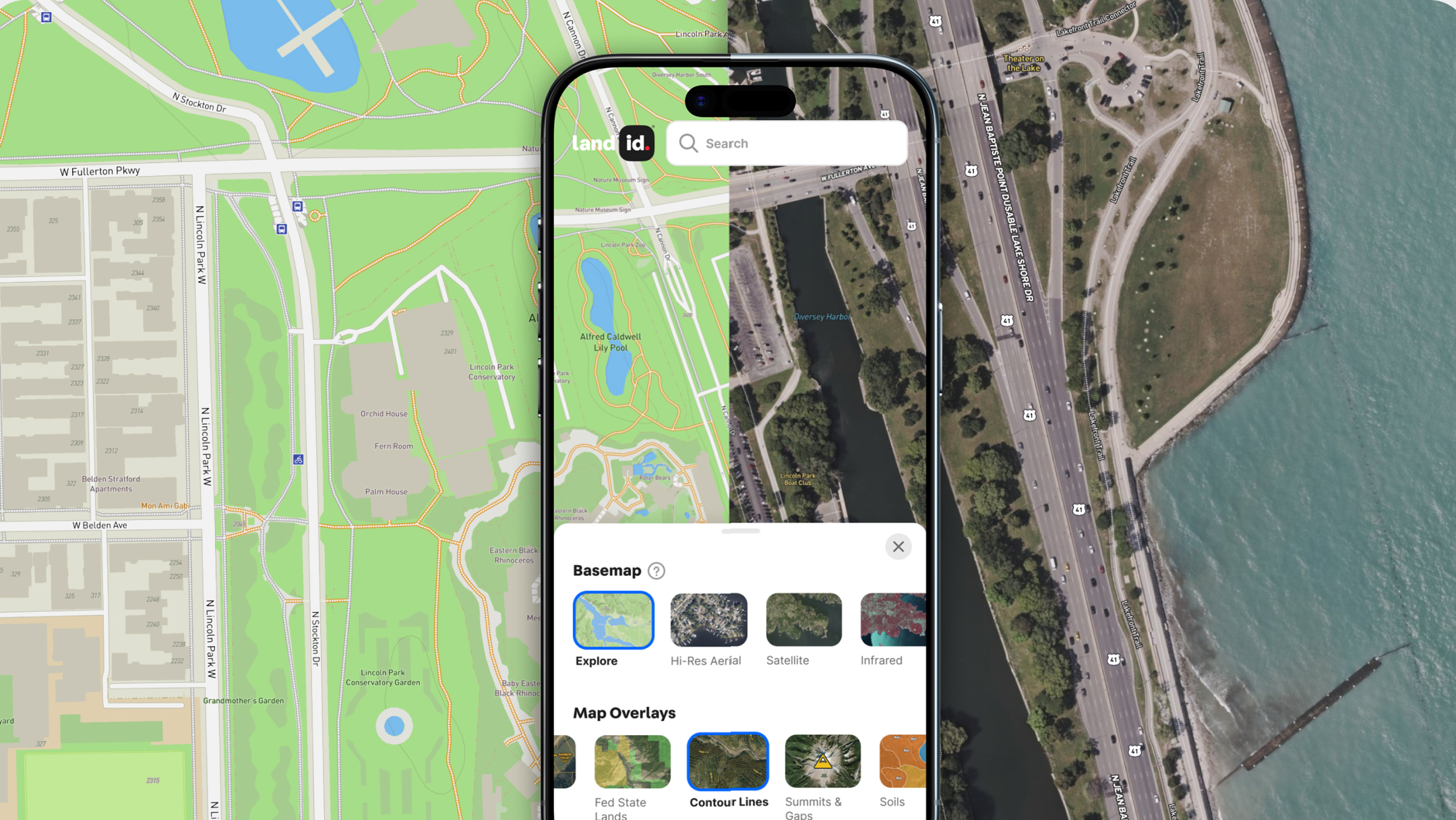
Land surveying is a complicated art, but it doesn’t have to be. GIS makes gathering and manipulating data significantly more manageable, and with tools such as Land id® (formerly MapRight) , this data is accessible to just about anyone, expert surveyors and novices alike. Land id's GIS software is made for the modern world; users can create beautifully functional maps in a fraction of the time, armed with nothing but a smartphone.
Land id® isn’t limited to just the types of land survey covered here - far from it. With Land id’s GIS mapping software you can create layers on your map for an array of land attributes: soil, water features, county lines, floodplains and so on. Land id® also has user-friendly features such as driving directions, photos and icons that can be added to a map as a quick and easy label. Start your 7-day free trial of Land id® today, and say hello to a new standard of surveying.
FAQs

Continue Reading


