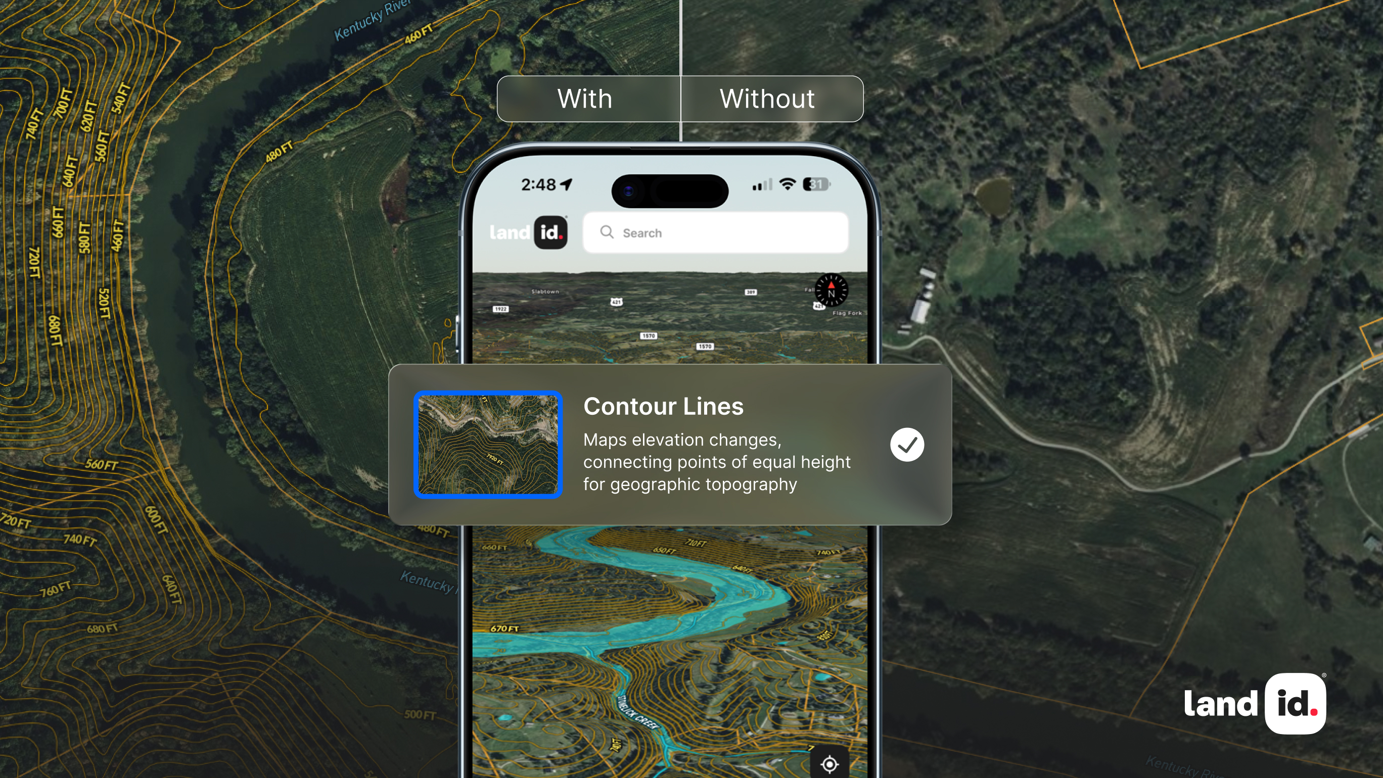
The concept of a Geographic Information System (GIS) was first conceived in the 1960s. Since then, the technology used for GIS software has progressed tremendously because of the work of dedicated programmers. Today, the use of GIS software has become ubiquitous in both the private and public sectors. From governments using it to develop infrastructure or plan for emergencies to businesses using it for marketing and location planning, GIS can be found in most organizations. While most people nowadays have heard of GIS, they may not know much about the programming that goes into developing these applications. This article explains what GIS programming is, what you need to know as a programmer, and answers the question: do you need to become a programmer to utilize GIS software to its fullest potential?
What is GIS?
Before we get into GIS programming, it's essential to know precisely what GIS software is and what it can be used for. A GIS is a database with spatial reference that stores maps, vector layers (such as roads), rasters (such as satellite imagery), points of interest (POIs), and more. The best way to think about GIS is as a layer cake. Each layer represents a different aspect of your project's geographic area of interest — from roads to schools to population density — so you can view all your layers at once or zoom in on specific areas to see more detail.
GIS systems are incredibly versatile applications; your imagination is truly the limit. For example, government agencies, businesses, and non-profit organizations often utilize them to improve decision-making regarding a range of location-based scenarios, such as where to build new roads or stores, how best to allocate resources, and even how to help people find their missing pets.
What is GIS Programming?
GIS programming is a broad term that covers all aspects of creating, maintaining, and using geospatial data. It covers such areas as creating user interfaces, development tools, and applications that utilize GIS data. It also covers the creation of databases that store GIS data and its manipulation by various software applications. GIS programmers write computer code that automates specific processes in GIS. This can mean anything from writing a simple script to automate some tedious tasks, to creating an entire application that serves as an interface to your GIS data.
GIS programmers work in many different industries and roles. They might work for a company or agency that has its own GIS, or they may write code for someone else's system. They can work on large projects like mapping out new cities or building large-scale transportation systems or focus on smaller projects like automating water management or managing park maintenance records.
GIS programmers may specialize in one of several areas:
- Desktop GIS - These programs allow users to create maps and perform basic analysis on their desktop computers. Desktop GIS is often used for business mapping, public safety and emergency response (e.g., police mapping), site selection and location analysis, utility management, and environmental monitoring.
- Web-based GIS - These applications are accessed through the internet using a web browser like Google Maps or Bing Maps. Web-based GIS can be used by anyone with access to the internet, regardless of their device.
- Geospatial databases - Geospatial databases store all types of data associated with geographic locations, including raster image data, vector data (points, lines, and polygons), and attribute information about each point, such as color.
Depending on what your business is looking to accomplish with GIS software, you may be debating on whether or not you need to know GIS programming to utilize GIS software. Due to the many different types of GIS software, what you will need to know will depend significantly on what you're looking to do. Some software is more technical than others and requires more experience to utilize, while others are accessible to those who are not GIS programmers.
Do I Need to Be a GIS Programmer to Use GIS Software?
No. Because GIS software is so valuable, it's crucial for people who work with it to understand how it works and how it can be customized. However, you don't need to know how GIS programming works to use GIS software. GIS programming languages are complex and challenging to master and require years of training before they're even remotely approachable by the average person. Thankfully, because of innovation in GIS software, you don't need to know how to program to fully utilize GIS software for your business. Nowadays, because of the widespread availability of GIS software, businesses of any size can integrate GIS into their business without needing to become experts on GIS programming or investing in GIS programmers.
Land id® Has Done the Hard Part, So You Don't Have To!
Since we first began, Land id® (formerly MapRight) has been working to ensure that GIS software can be used by anyone regardless of technical skill or knowledge. With Land id®, anyone can create, personalize, and share their own fully-customized, beautiful maps without any technical expertise. Whether you’re an experienced GIS programmer who is well versed in the world of GIS software or a real estate agent adapting to the changing world, Land id® eliminates the complexities of GIS for both professionals and novices. With the click of a few buttons, you can select your base layer, view in-depth parcel data, run a soil report, create customized databases with as much or as little info as you would like, and turn on any relevant GIS overlays such as floodplains, land use, airports, school districts, and much more.
Land id® also knows that making or using maps may not always happen at a desk. With our mobile app, you can take the full power of Land id® wherever you go, allowing you to choose from various layers, take and attach images and videos to points on your map, and research parcels, along with features only found on our app, such as driving directions and location tracking. You can even save and use maps offline, so even in the most rural locations, you’ll never be without Land id®.
Don't let the complicated nature of GIS keep you from utilizing it in your business. Sign up for your 14-day free trial of Land id® today!
FAQs
Continue Reading


