

As far as continents go, Antarctica is definitely the strangest. This vast, desolate landmass is about twice the size of Australia and is almost entirely covered by a thick layer of ice and snow. It’s also downright frigid. The average winter temperature on the continent is about -58°F (-50°C), but thankfully in the summer, temperatures warm up to about -4°F (-20°C) on average.
Unsurprisingly, Antarctica has no permanent human settlements—at first glance, it doesn't seem like this continent has much at all—so why exactly would we want to send a swarm of unmanned aerial vehicles (UAVs) down there?
The Secrets of Antarctica
As one of the highest, driest, coldest, and windiest places on Earth, Antarctica has become an important site for climate change research. Not only is it home to a unique variety of wildlife—including seals, penguins, and whales, as well as many species of birds and insects— who have evolved to thrive in the harsh conditions, it holds 90% of the earth’s freshwater frozen in ice sheets. This makes the continent a prime location for studying the effects of global warming.
For researchers, Antarctica can serve two purposes. First, it holds clues for how the world’s climate has changed over time and what factors contribute to such changes, and second, it can help researchers better predict future climate changes so we can better plan for them. Even minor changes in Antarctica’s climate can have a ripple effect on the climate in other parts of the world. A prime example of this is ice melt causing sea levels to rise.
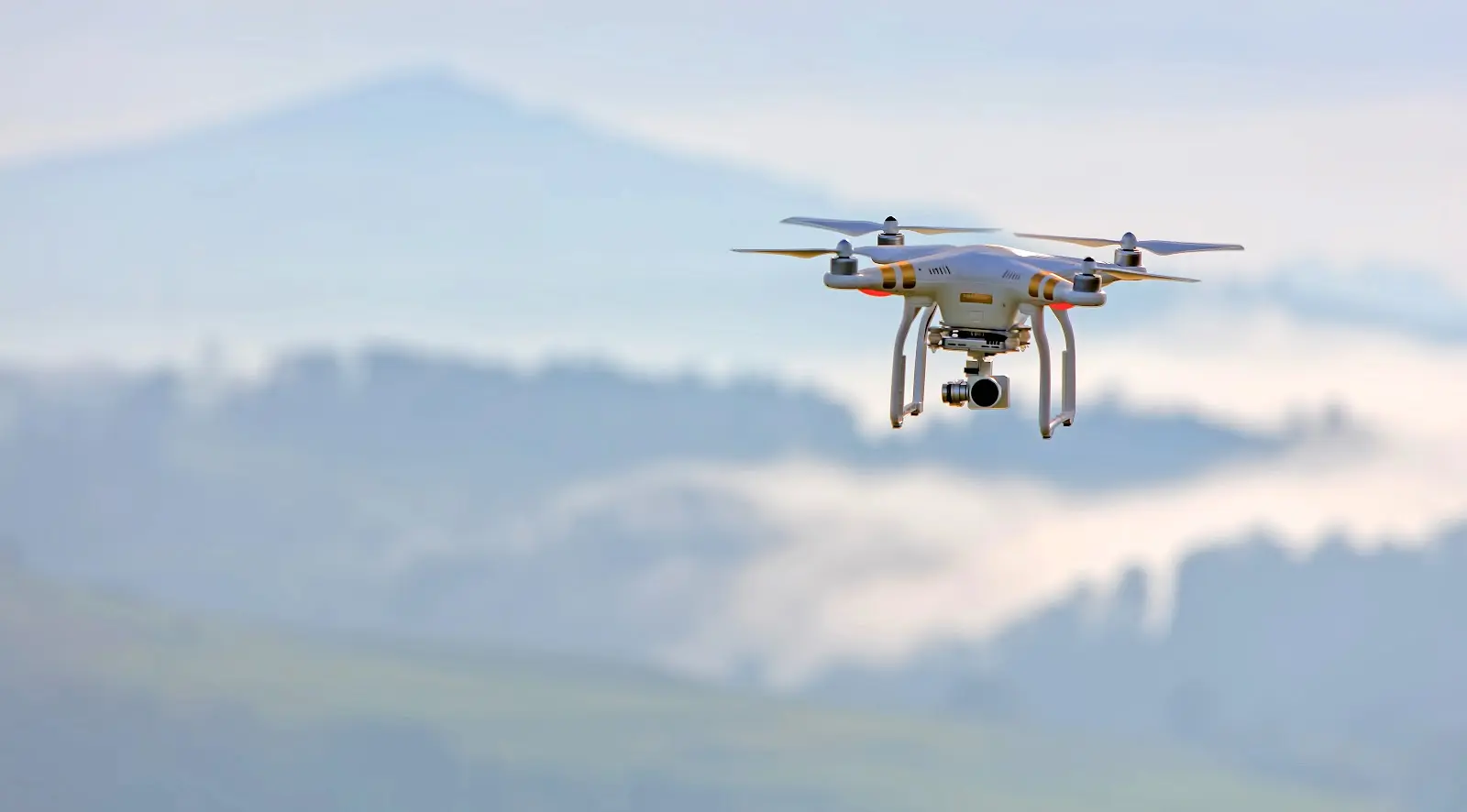
Introducing the Swarm
To uncover Antarctica’s secrets, the University of Sheffield is using swarms of advanced UAVs to map the icy continent and gather data about the wildlife, ice accumulation, and weather conditions. This exciting new project has the added bonus of advancing swarm aircraft technology for conducting survey missions of large areas with the goal of making the process faster while requiring less human resources.
A “swarm”, for the uninitiated, refers to the use of many UAVs that can be operated together in a coordinated manner (as opposed to each drone being operated independently). Swarm technology has several advantages. It allows researchers to cover a larger area with a higher degree of accuracy than using a manned aircraft would allow for, and since the drones deployed are small and relatively inexpensive, they can be sent into remote locations that would be too risky to send a human pilot.
This swarm heading to Antarctica will be equipped with some special new advancements, courtesy of the university’s Department of Automatic Control and Systems Engineering. The research team will test new technology on board each aircraft that will help them control their sequencing during flights and develop their ability to detect and dynamically navigate around obstacles. Additionally, researchers will develop the algorithms that enable the aircraft to move together in a coordinated fashion, follow the planned flight path for the surveys, and improve the UAVs’ autonomy, especially during landing.
Once the swarm is ready, The British Antarctic Survey (BAS), the UK's national polar research institute, will test the new technology by collecting environmental data on wildlife, ice accumulation, and weather conditions.
Will the Swarm Leave Antarctica?
While there are plans to have the swarm developed for BAS to also be tested in the UK to help detect wildfires, swarm technology is still in its early stages, at least when it comes to commercial or recreational use.
Thanks to relaxed regulations in the United States within the past decade, the use of drones for commercial and personal use has grown steadily, but currently, regulations only allow for a drone pilot to operate one UAV at a time. So, while you aren’t likely to see a swarm in your neighborhood in the near future, they may be on the horizon sooner than you think. Both Amazon and the US Postal Service have indicated their interest in using drones to deliver packages, and swarming is the only approach that could be effective at scale.
At Land id® (formerly MapRight), we’re always excited to learn about any new advancements in spatial data collection and mapping technology, and you can be sure that as these capabilities improve, we’ll make sure our platform will be there to help you make the most of them. With access to property boundary and ownership information across all 50 states and over 140 million private properties, the ability to create custom databases of your own, and multiple sharing options, Land id® makes mapping easy and fun without sacrificing powerful features.
Start our 7-day free trial today, and make your first map in minutes!
FAQs
Continue Reading
Craig Rowe
5 Real-World Land id Workflows Worth Borrowing
.png)
By Land id
See helpful examples of how real estate pros use Land id to win listings, market properties, plan developments, and make smarter data-driven decisions.
Alyssa Toohey
Off the Map & In Person: The Land id Team Gets Together

By Land id
The Land id team came together in Montana for collaboration, connection, Big Sky views, PBR, Yellowstone, and plenty of memorable moments.


Explore Private Parcel Data & Property Boundaries
Download the Land id app and try for free.
