The metes and bounds system is nearly as old as land ownership itself, with evidence of it existing from as far back as Ptolemaic Egypt and the Roman Republic. In the United States, the fingerprints for this method of surveying property can be most easily found in the states that were once the 13 original colonies. This system, which utilizes the completely subjective interpretation of natural features and markers by a land surveyor, is by no means new, but it’s also not going away anytime soon, either.
Back in the day, when surveyors lacked sophisticated measuring systems and mapping tools, metes and bounds was a reliable option. They used points such as trees, boulders, streams, roads, buildings and anything else that may have been near them as a reference for property boundaries. The problem, of course, is that trees can die, streams can dry up, roads can be moved and man made structures can fall down. What was a dependable reference point in one era may not be helpful to someone today.
There are more modern, standardized systems for land boundaries today, but the metes and bounds plotter system continues to hang on in the form of old land surveys, deeds and other documents. The challenge now is figuring out how to translate the information from then to the parcel mapping needs of now.
The Importance of Metes and Bounds
The metes and bounds system allowed for more customized property practices that utilized localized knowledge and facilitated community development. Whenever America was still being settled by immigrants to the continent, there was no standard for measuring and recording land plots. Metes and bounds gave people a way to designate, own, buy and sell property. It also led to new land laws and the eventual establishment of recording institutions in our country.
Another advantage of metes and bounds survey descriptions is the information about the land. These descriptions were written to be best interpreted by a community, and so they offer customized, rich characterizations. Oftentimes, the land in question would be new territory, and the legal descriptions would provide useful information such as predicted land uses, natural features and the people surrounding a property.
How Metes and Bounds Works
Metes and bounds are the boundaries or limits for a parcel of land. They can be identified by natural features such as rivers or by man made marcations such as stakes. That’s what a metes and bounds plotter system determines: the perimeter of a property. The system can be particularly helpful for writing the legal descriptions of irregularly shaped land, something more complicated than a rectangle.
In a legal survey description, the land boundaries are run out by courses (the direction of the line). This will either be with respect to a meridian or magnetic north. You’ll also be told the distance of each course, usually measured in a well known unit such as feet or chains. There are regional units of measurement you could stumble on from time to time, though. At each angle, also called corners, the surveyor will reference a monument. These can be natural or artificial.
You may find that some survey descriptions are fairly substantial while others are so vague that if three different surveyors mapped the boundaries of the same property, they’d all end up slightly different. That is a product of their initial audience’s understanding and interpretation. For instance, when land was inherited within a family, everybody would have already been familiar with the property boundaries. The legal description on a deed could have been relatively casual and still have met the standards of early land laws.
Making Sense of Legal Descriptions
So, what do you do with these metes and bounds descriptions nowadays? In a perfect world, the original survey would give you a point of beginning, something that still exists and hasn’t been moved. From there, you simply follow the specified course for the appropriate distance until you should find your next monument or landmark. This exercise continues until you find yourself back at the beginning with a closed shape. Unfortunately, it’s not always that simple. Trees are cut down, fences are moved, dirt roads grow over with disuse - our landscape is always changing.
Visualize Legal Descriptions With a Metes and Bounds Plotter
Modern technology has provided us with a way to map out survey descriptions created using metes and bounds. Essentially, what the original surveyor has provided you with are instructions to create a precise shape. A metes and bounds plotter software can take the angles and distances articulated in words and use them to create each property line and corner digitally.
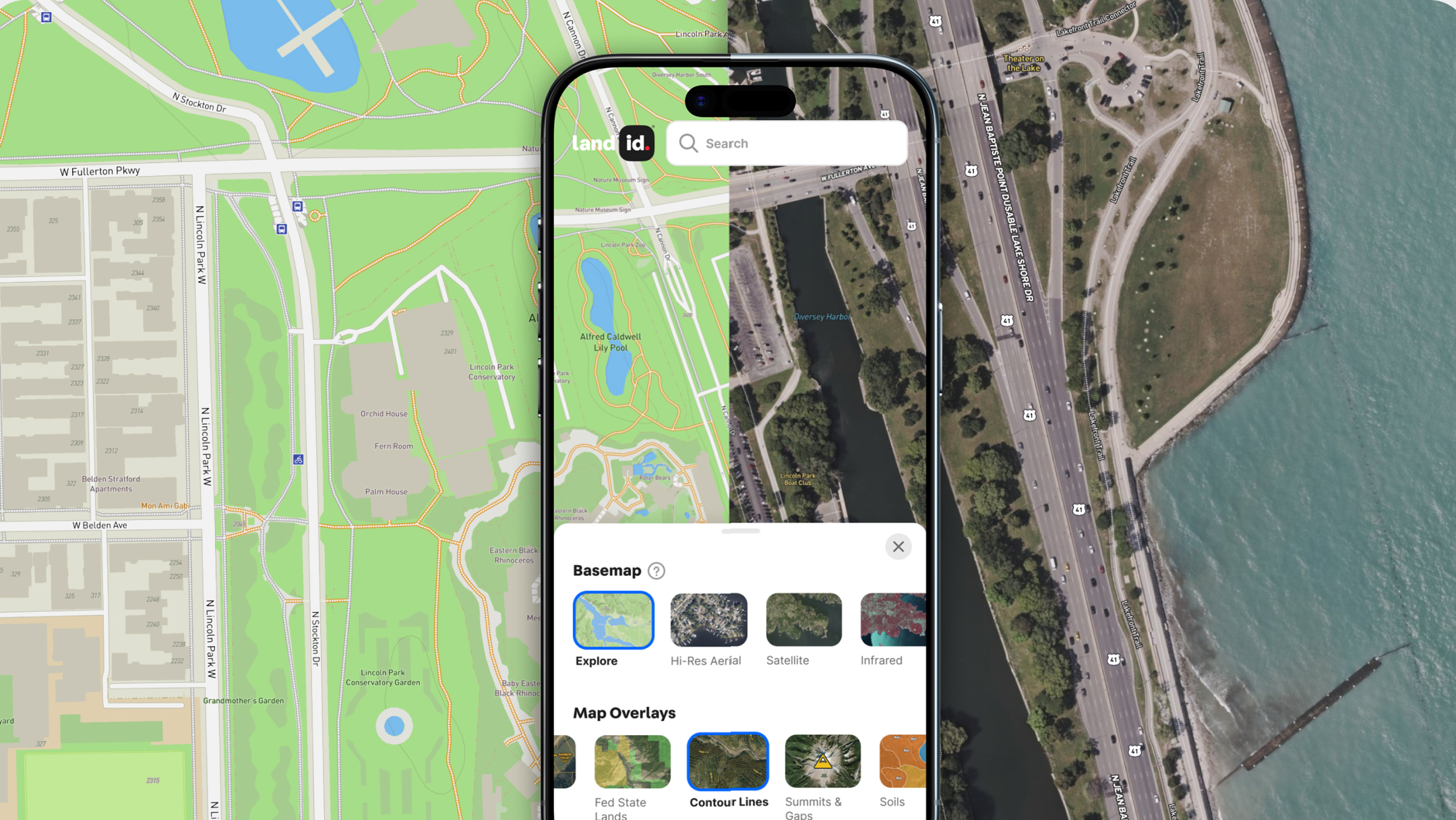
But, what about the monuments or landmarks called in the original survey? The inability to find say, a tree stump, can really stump some people, but when you use a virtual application, you don’t have to worry about finding random objects in a field. In fact, you won’t need to physically walk the boundary lines yourself at all. You simply build the shape, and then with a tool like Land id® (formerly MapRight), you can see how it fits in and aligns with the neighboring plots of land.
Land id® is for anyone with an interest in land, from appraisers to landowners and everyone in between. Using our metes and bounds plotter, you can quickly and accurately illustrate survey descriptions using metes and bounds from deeds and other legal documents. In a matter of minutes, you can transform a description into a fully-formed parcel of land. By overlaying it on a mpa, you can view the property in context.
Land id® can even help you visualize plotted land boundaries alongside other data such as land features, soils, contour lines, school districts, county lines and much more. Reimagine a metes and bounds plotter system in a modern way with Land id®. You can begin our 7-day free trial, and start using both the web and mobile app today.
FAQs

Continue Reading


