For real estate agents looking for the perfect closing gift for their clients, landowners looking for a way to memorialize their property, or those who just really like maps, a custom map is an invaluable resource. Not only can custom printed maps showcase the land and its many attributes, but they can act as a reliable reference for years to come. Below, we’ll walk you through everything you need to know to create a beautiful, informative, and fully personalized print map of your own.
How To Create Custom Printed Maps
Step 1. Choose Your Base Layer
The first step in creating custom printed maps is to choose a foundation, i.e., your base layer. In the Land id® (formerly MapRight) app, you’ll find various base layers to choose from: Hex Aerial, MB Satellite, NAIP, Color Infrared (CIR), Vintage Topo, Modern Topo, or Street. The Hex Aerial, MB Satellite, and NAIP view will show a realistic depiction of the land from above, the infrared layer will show crop performance, the modern and vintage topo layers will show changes in elevation, and the street view will show an accurate drawing of the land, similar to what you’d find in Apple maps on an iOS device. Which will be best depends on what the purpose of the map is, what data you're hoping to display, and your own aesthetic preferences.
Step 2. Define Your Property Boundaries
The next step is to define your property boundaries. You can do this by toggling on the parcels layer, or you could create custom boundaries by drawing out the property lines yourself. On Land id®, you can use the boundary tool to quickly draw boundaries based on landmarks, or the deed plotting tool to draw out the distance and direction of the boundary based on its legal description, regardless of how complex or curved the shape will be. If you have a survey or site plan, you could even overlay it on your map using the georeferencing tool. This will allow you to control the opacity so you can see every layer and utilize custom control points to ensure proper alignment.
Step 3. Sub-Divide Or Delineate Fields, Pastures, Lots, Etc.
Not all properties are simple; in many cases, you’ll need to designate fields, pastures, lots, or other areas on your custom printed maps to clarify for viewers what exactly they’re looking at. With Land id®, you can utilize the cut tool to divide shapes, regardless of what they are, into smaller sections. All you have to do is click where you want to start dividing the property, click where you want to finish the line, and click again to complete the cut.
Step 4. Add Fences, Roads, Trails, Creeks, And Other Paths
Adding fences, roads, and other paths doesn’t just provide easily identifiable reference points and help viewers spatially understand the land, it also adds a personal touch to your map.
Step 5. Indicate Key Features
You can further personalize your custom printed maps by highlighting key features of the property such as houses, hunting blinds, barns, and gates. This will allow viewers to instantly know what they are looking at when they see your property map, understand spatial relationships such as the distance between items, and get a more complete picture of the property’s offerings. In the Land id® app, you can do this by adding labels and icons. You can choose between the wide range of icons Land id® offers, or if you can’t find exactly what you’re looking for, you could even create your own.
Step 6. Add GIS Layers
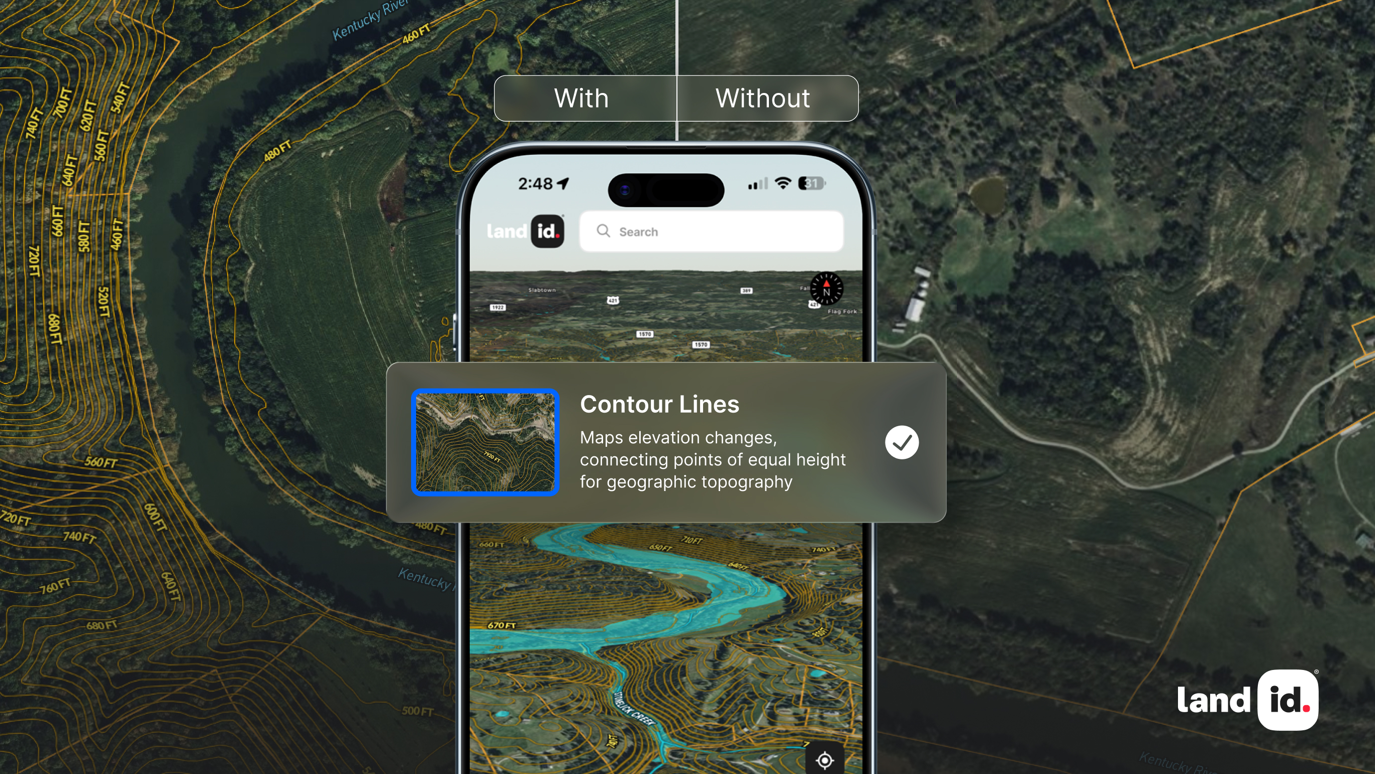
By adding GIS layers, you can share important information about the land, including information on water features, soil, elevation, flood hazard areas, public lands, city and county data, or virtually anything else you’d like viewers to know – you can even upload your own GIS data.
Which layers you’ll want to include in your custom printed maps will depend on what the final piece will be used for, and who the owner will be. For instance, if you’re gifting the map to an avid nature enthusiast, you may want to highlight information about the soil, elevation, and water features, but if you're making the map for a real estate client, they may rather know where city limits and school district boundaries lie.
Step 7. Add A Legend
By this stage of the process, you’re pretty close to having a finished map, but don’t forget to include a legend as you approach the end of your map-making journey. The legend will define any symbols or colors you used in the creation of your map, explain any relevant units of measurement, and overall, help viewers make sense of the map. Land id® automatically creates a legend for your print maps!
Step 8. Print!
Once your map is complete, the final step is to download it and print it!
Build Custom Print Maps With Land id®
Land id® is designed to take the technical aspects out of GIS so that anyone can create, personalize, and print their own fully-customized, beautiful maps. With eight different base layers, two-dozen GIS layers, and countless styling options to choose from, you can share as much information about the land as you wish. And if you aren’t able to finish your map for any reason, our experts will gladly take over from wherever you left off (since we charge by the hour, you won’t have to pay for any work you’ve already done). So, are you ready to start building your own custom print map? Sign up for your 7-day free trial of Land id® today!
FAQs
Continue Reading


.webp)

