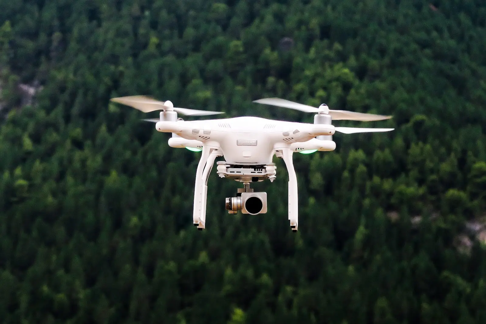
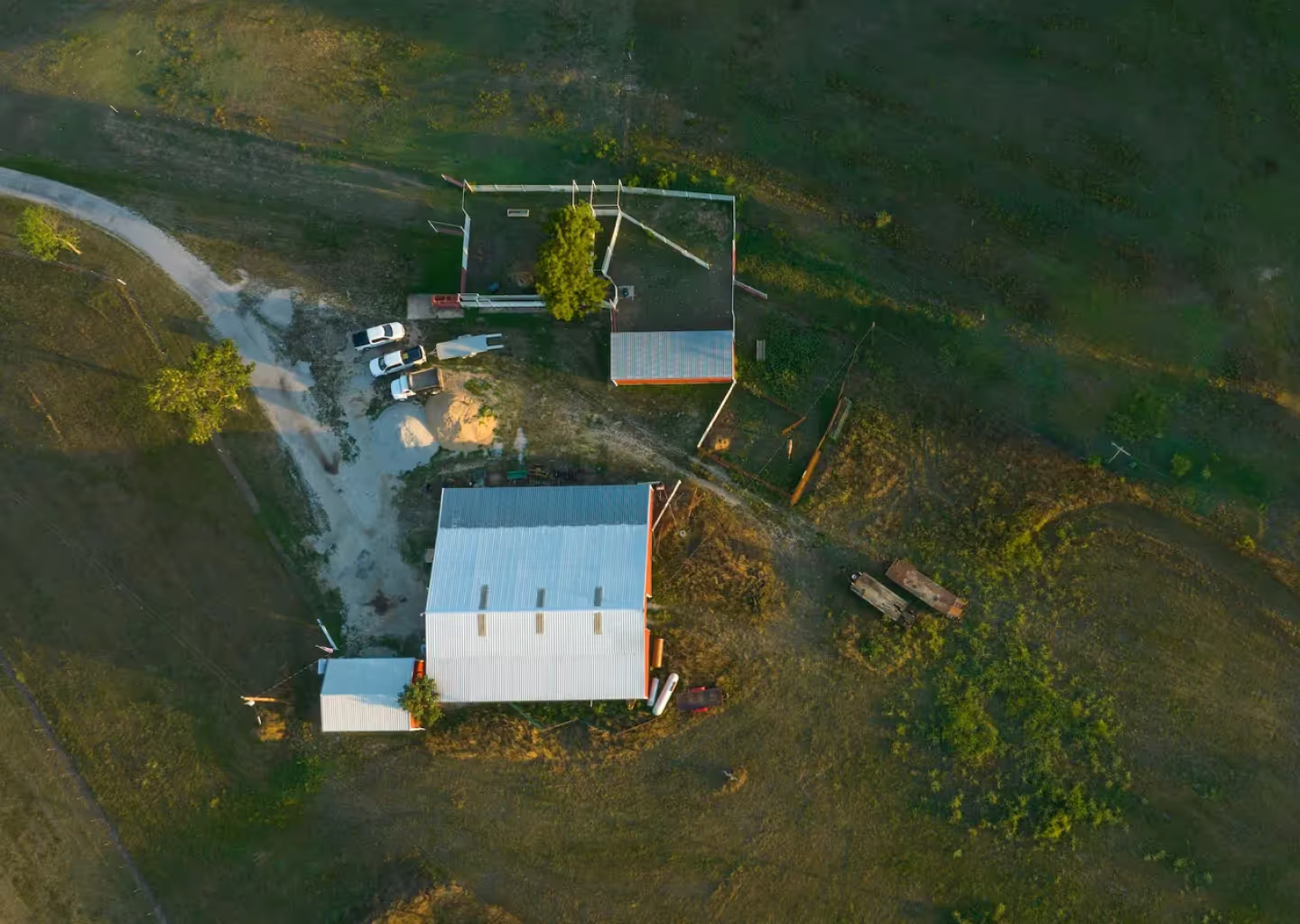
The prospects of using drones for mapping are thrilling. As drone technology soars and cutting-edge GIS software becomes more accessible, drone mapping is becoming a go-to solution for anybody looking to get a bird’s eye view of the land. From providing stunning aerial photography to delivering increasingly accurate spatial data, drones are transforming the way maps are made and used. In this article, we’ll explore the many ways that different industries are using drones for mapping, uncovering a world of innovation and limitless potential—who knows, maybe you’ll get a few new ideas? Buckle up and get ready to soar with us as we explore the exciting world of drone mapping!
Benefits of Using Drones for Mapping
Drones have become a game-changer in the field of mapping due to several reasons. Firstly, their ability to access hard-to-reach areas allows for efficient data collection and mapping of large areas, reducing the need for manual labor and minimizing the risk of human error. This leads to more accurate and up-to-date information, as real-time data can be gathered with ease.
Secondly, drones are cost-effective as they eliminate the need for expensive equipment, such as aircraft or ground vehicles, to collect spatial data and map large areas. The use of drones can also reduce the amount of time spent on data collection, as they can cover vast territories in a shorter amount of time compared to traditional methods. Additionally, the cost of drone technology has decreased significantly in recent years, making it an accessible solution for businesses and organizations of all sizes.
Finally, using drones for mapping offers a safer alternative for data collection, as they can access dangerous or hard-to-reach areas without putting human lives at risk. This makes them an ideal solution for mapping in difficult-to-access areas, hazardous environments, and other challenging locations. Drones equipped with cameras and sensors can even provide a bird's eye view of the area, allowing for a comprehensive understanding of the terrain and potential safety hazards, further increasing safety.
Applications of Drone Mapping
Drones have proven to be game-changers in mapping, offering a more efficient, quicker and cost-effective way to gather and process data. As a result, drones have been widely adopted across multiple industries and are being used for a variety of purposes, including:
Agriculture
Farming is no longer limited to traditional methods as the integration of drone technology has changed the game for agricultural practices. With the capability of flying over large areas and capturing high-resolution data and images, farmers now have the ability to make informed decisions about their crops and land management. Drones equipped with cameras and sensors provide farmers with the power to detect potential issues, such as crop diseases, pest infestations, and soil deficiencies, in real-time, enabling them to take swift corrective measures resulting in higher yields, improved profitability, and enhanced land utilization.
Construction
Construction companies have adopted drone technology as a crucial part of their operations, using it for site inspections, project monitoring, and creating digital twins. The high-resolution cameras on drones allow for detailed and accurate mapping of construction sites, which provides crucial information for real-time project management. The maps include elevation measurements, topographical data, and other relevant details, which aid in the identification of problems, tracking changes, and ultimately ensure the timely completion of projects.
Urban Planning
The urban planning landscape has undergone a radical transformation with the integration of drone technology. Urban planners now have the ability to fly drones equipped with high-resolution cameras over large areas, allowing for the collection of data that is crucial in planning and development. The data and images obtained from drone mapping provide urban planners with a comprehensive view of existing infrastructure, potential development sites, and other essential information. This information is crucial for decision-making, enabling urban planners to make informed choices about future projects.
Surveying
The integration of drone technology has had a significant impact on the surveying sector, making it more efficient and cost-effective. Surveying professionals now use drones to inspect large infrastructure projects, gather data for topographical maps, and monitor construction progress. With high-resolution cameras and GPS technology, drones provide accurate and up-to-date data on pipelines, power lines, and other critical infrastructure, reducing the need for manual inspections and helping ensure worker safety.
Environmental Conservation
Drones are playing a critical role in environmental conservation efforts, providing new and innovative ways to gather data and survey remote areas. Conservationists use drones to track the movement of wildlife, map their habitats, and identify areas in need of preservation and restoration. For example, drones equipped with mapping technology can survey forests, providing valuable data for conservation efforts, and help identify areas that require preservation and restoration.
The Future of Drone Mapping
As technology continues to advance, the future of using drones for mapping looks brighter than ever. With the integration of cutting-edge technologies such as AI and machine learning, drones are expected to become even more efficient and precise in capturing data and generating high-resolution maps. No matter the objective of a mapping project, this technology will undoubtedly make it easier for businesses to make informed decisions and save time and resources.
In addition to this, drones are becoming more autonomous, with advanced navigation systems and obstacle avoidance capabilities. This not only makes them safer to use, but also allows for even more efficient data collection. Furthermore, the development of smaller and more versatile drones will expand the scope of mapping projects, making it possible to map areas that were previously thought to be inaccessible. The future of drones in mapping is exciting, and with each new development, businesses will have the tools they need to achieve more detailed and accurate maps than ever before.
Revolutionize Your Mapping with Drone Technology and Land id®
Drones have become a vital tool in the field of mapping, providing a solution that is both efficient and cost-effective. With their ability to access hard-to-reach areas and gather real-time data, drones have revolutionized the way mapping is done, providing organizations with accurate and up-to-date information. The technology has made data collection and mapping safer, faster, and more accessible, leading to valuable insights and informed decisions.
If you're looking for a powerful GIS solution to help make use of your drone data, Land id® is the answer. As a GIS software, Land id® (formerly MapRight) provides businesses and organizations with the tools they need to create custom maps and gather valuable insights. With its user-friendly platform, you can easily access, analyze, and visualize your data—we even make it easy to embed panoramic images taken of a property onto your maps.
It only takes a few minutes to make your first map and start sharing it with the world. So why wait? Take your mapping to the next level, and start your free trial with Land id® today!
FAQs
Continue Reading


