

Do you ever squint at the pixelated map on your phone screen and think, ‘Wow! We used to use paper for this!’ Probably not, right? Who spends time thinking about paper these days? But believe it or not, even though map storage today is digital and easy to access wherever you are, they’ve come a long way from the papyrus and clay tablets that early cartographers used! The history of mapping can be traced back to over three thousand years ago. So how has cartography and map storage evolved over time?
The Art of Mapmaking
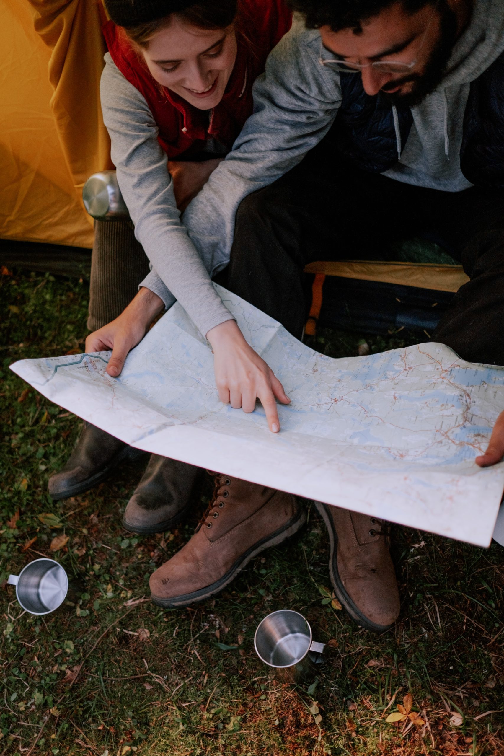
Before it’s anything else, a map is an idea, a conceptualization of a place. A physical map is just the medium in which that idea is documented and stored. Ancient cartographers used several methods to gain a better understanding of the world around them—many of which we still use today—and then articulated these ideas on a map. These methods include:
- Observation and measurement: Ancient cartographers would observe and measure the physical features of an area, such as the size and shape of rivers, mountains, and other landmarks. They would also record the distances between these features, and the directions in which they were located. While our measurement methods are much more accurate today, modern surveyors have a lot in common with their predecessors.
- Symbols: Cartographers of old used symbols and drawings to represent different features on a map. They also used color-coding so it was easy to visually differentiate between different types of terrain. Today, symbols are still a huge part of map creation—Land id® (formerly MapRight) has a whole library of icons and symbols you can use to mark important property features.
- Written descriptions: In addition to drawings and symbols, cartographers would also include written descriptions to provide more information about depicted features. Written descriptions are still beneficial to modern maps, though on Land id®, we allow you to add even more context by embedding images, videos, and panoramic photos to your maps.
- Existing maps: Often, existing maps were used as a starting point, and then updated based on the cartographer’s observations and measurements. In the modern era, this concept of utilizing and combining existing datasets is the foundation of GIS technology. Land id® utilizes existing base layers and mapping overlays to help you best visually communicate a property’s many attributes.
Much like today, ancient maps were typically created using a combination of the above techniques in order to achieve the most complete map possible. However, the level of detail and accuracy varied widely depending on available resources and technology.
The Oldest Map
One of the oldest known surviving maps is, ironically, a clay tablet about the size of an iPhone, known as the Babylonian Map of the World. Created around 700 to 500 BC in Mesopotamia, it depicts Babylon at the center, as well as the Tigris and Euphrates rivers. This map didn’t include much detail; a few regions are labeled, but instead of being for navigation, this map was meant to give the map-holder a visual of the entire world, with themself at the center. Other ancient maps that have been discovered include a map of the world from a Greek vessel from the 4th century BC, and a map of the world on a Roman vessel from the 2nd century AD.
While these maps aren’t as detailed as modern maps, they still show a remarkable understanding of the geography of the time. They’re also representative of a centuries-long legacy of humans creating maps to store and represent their understanding of the world they occupy.
How Mapmaking Technology Has Improved
Before the invention of the printing press, maps were typically produced by drawing them by hand on parchment, paper, or other materials, which required a high level of precision and skill. Once the initial map was completed, it had to be copied by hand. This process was extremely slow and laborious, and resulted in a limited number of copies of each map being produced. This meant that maps were extremely rare and expensive, and were usually only available to wealthy individuals or institutions.
Print It!
Because of the limited availability of maps, it was difficult for the common man to have a resource that gave them a comprehensive understanding of the world and its geography, and therefore it was difficult for people to plan long-distance journeys. Exploration was limited to a select few. Upon the invention of the printing press in the late fifteenth century, it suddenly became possible to mass-produce maps efficiently and cheaply, making them available and accessible to the general public—sometimes even in color, which added another avenue for more detailed and accurate maps.
Once the printing press was in place, other developments which aided in the advancement of map storage came along, including:
- The Geodetic Reference System: In the 18th and 19th centuries, cartographers developed a system using trigonometry to measure the size and shape of the Earth. This led to the creation of more accurate maps.
- Aerial Photography: In the 20th century, cartographers began creating maps using aerial photography, capturing a detailed, bird’s-eye view of an area.
- Satellite Imagery: In recent decades, satellite imagery has revolutionized mapmaking. Satellites capture images of the surface of the Earth with a resolution of just a few meters, further improving maps’ accuracy.
GIS
Another gamechanger for map storage and creation, geographic infographic systems (GIS), were created in the 1960s. In the early days of GIS, this technology was primarily used by government agencies and academic institutions for mapping and analyzing geographic data, usually to create and manage digital maps, constructed from a variety of data sources. Early GIS systems were generally desktop-based and required specialized hardware and software. However, they were often limited by both the availability and accuracy of geographic data, as well as the computational power and storage capacity of available technology.
Modern Map Storage
GIS has improved significantly over time as technology continues to advance. There is now vast amounts of data available for use in GIS, including satellite imagery, geospatial data, and other types of geographic information. GIS software has also evolved to include a wide range of visualization and analysis tools, making it easier for users to extract information from geographic data.
Because of these advancements, GIS technology has become more accessible to a wider range of users, leading to the development of technologies like cloud-based GIS platforms and mobile GIS apps. GIS tech has also made it easier to share and collaborate on geographic data and analysis, with the development of online mapping platforms and collaboration tools.
None of these improvements would be possible without advancements in cloud storage, a newer alternative to storage options like local hard drives or network-attached storage, or NAS. Using the cloud for map storage has helped mapmaking by:
- Allowing users to access data from any device with an internet connection
- Making mapping projects easy to scale
- Providing additional data protection, as cloud storage allows for easy backups and data recovery in the case of data loss or corruption
- Encouraging and facilitating collaboration by allowing multiple users to access and edit files
- Providing robust security measures to protect data, including encryption and physical security at data centers
Map Even Better with Land id®
Map storage technology has improved in leaps and bounds over the last three thousand years—but there’s always room for improvement! Land id® is here to make the process even easier and more accessible. Whether you’re experienced in mapmaking or just getting started, Land id® handles the more technical aspects of mapmaking for you, allowing you to focus on the ideas behind a map. With dozens of map base layers and overlays, plus the ability to upload custom databases, attach photos and videos to specific points, and quickly share maps with others or to the web, Land id® is the perfect solution for mapping and spatial analysis. Plus, our mobile app lets you take these features with you anywhere!
If you’re ready to benefit from the most modern and user-friendly mapmaking solution, sign up for a free trial of Land id® today!
FAQs
Continue Reading
Craig Rowe
How Factory-Built Housing Can Reshape America’s Housing Market
.png)
By Land id
The U.S. housing industry’s decade-plus-long inventory challenge could see its first true sign of resolution should the 21st Century Road to Housing Act become law.

Craig Rowe
Can Refurbishing Schools Help Solve Housing Issues?
By Land id
Old public schools are becoming apartments as enrollment drops. See why school-to-apartment conversion is adaptive reuse's fastest-growing niche.


Explore Private Parcel Data & Property Boundaries
Download the Land id app and try for free.
