

Drones, also known as unmanned aerial systems (UASs) or unmanned aerial vehicles (UAVs), have evolved greatly since the first ready-to-fly model went on sale ten years ago. Now they’re everywhere. They’ve even landed in the hands of real estate professionals for the purposes of marketing land. Aerial photos and videos grab a prospective buyer’s attention and put the full geographic context of a property on display.
Unfortunately, you can’t just pick up a drone and start soaring through the sky taking breathtaking shots of the land below. There’s a few things you need to do first.
1. Get Certified
If you want to operate a drone for commercial purposes, you need to first obtain an FAA-certified UAS pilot’s license, known as a Remote Pilot Certificate. The process for certification is defined by the FAA's Small UAS Rule (Part 107), and involves taking an aeronautical knowledge exam. In the exam, you’ll be expected to know things like applicable regulations, weather effects, emergency procedures, radio communication procedures, preflight inspection procedures and more. You must get recertified every two years, as well.
Once you’re certified, you’ll be expected to adhere to UAS operating standards. These include things such as not flying your drone in restricted areas or keeping your drone in sight at all times. If you’re starting from scratch with your knowledge of drone operations, you may consider going to a drone school. They’ll help you prepare for the exam and become more familiar with the equipment you’ll be using.
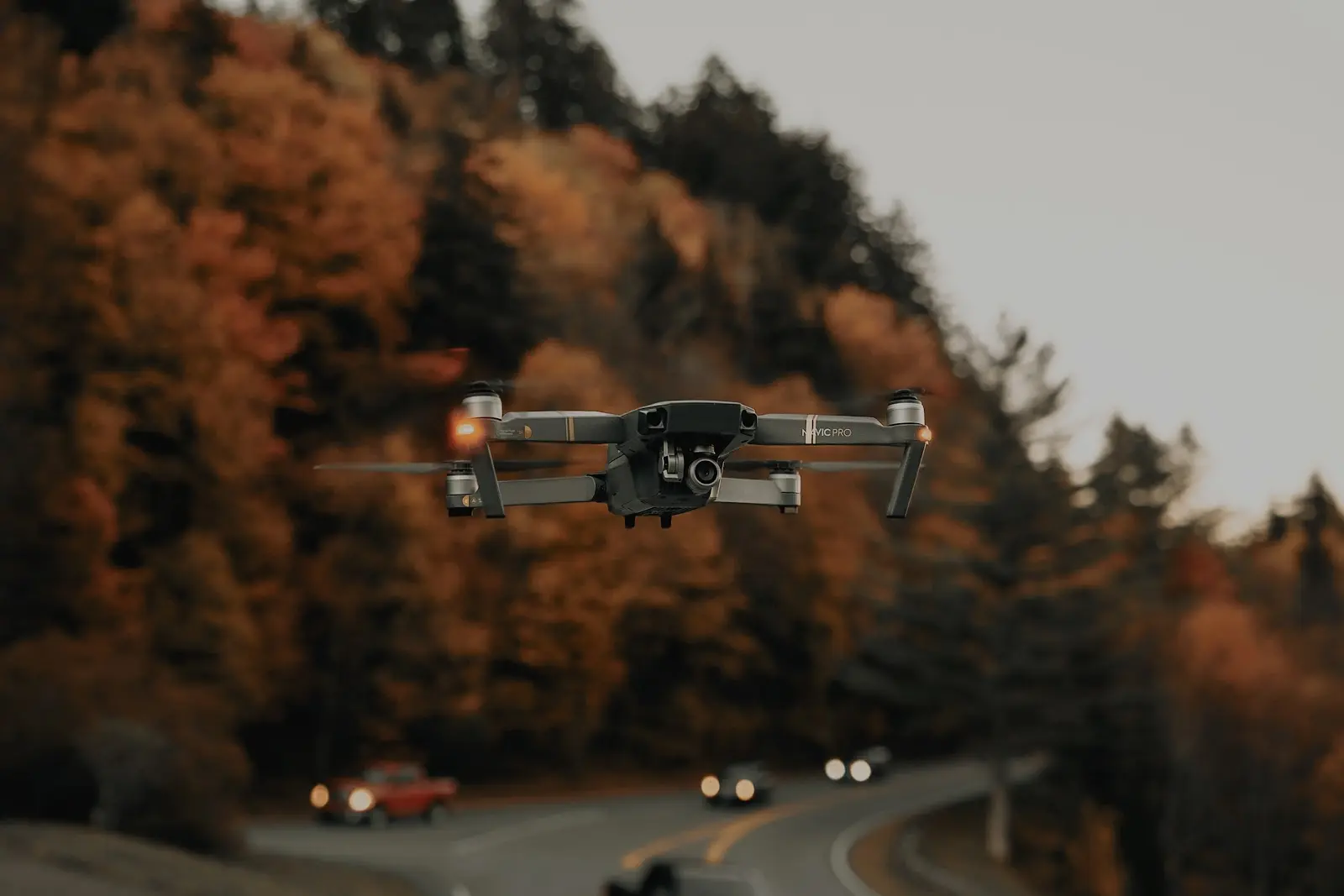
2. Get a Drone
Before you go out and buy the prettiest, most tricked-out drone you find, consider how you’re actually going to use it. If you’re just beginning, you may want to practice with something you won’t be as heartbroken to lose in a copse of trees. Luckily, starter kits can cost less than $100.
Entry-level and mid-range models can cost several hundred dollars to up to $1,000, but you need to make sure you’re getting something with a good image quality. If you’re interested in professional-grade equipment, these drones will usually run somewhere between $1,000-$3,000. With the higher price tag comes add-ons such as camera lenses, fittings, batteries and charging equipment, and advanced functionality such as collision avoidance, object tracking and automatic quick shots.
3. Practice, Practice, Practice
Flying a drone requires the ability to maneuver it at different altitudes and oftentimes far from the naked eye. On top of that, you also need to be able to operate a camera and capture great images of a property. Our recommendation? Find an empty field or parking lot, and take some time to hone your operating skills and work on different flight paths and scenarios.
4. Plan Ahead
Before you take to the skies, it’s a smart idea to put some forethought into what you’re going to do. Create a checklist of the tasks you don’t want to forget to do such as charging your batteries, checking the weather and conducting a preflight inspection of your equipment. Create a shot list of all the images you need, making sure to get all the necessary angles and perspectives. Also, double check that you can actually fly a drone in the airspace you plan to be in. The FAA’s BFUFLY mobile app is a great resource for you in that regard.
Here’s What You Do With Your Drone Photography
Land id® (formerly MapRight) was designed with land marketers in mind. Not only can you embed photos and videos into your maps, you can also embed pre-stitched panoramic images you captured during drone flights. Land id® will take care of converting them to beautiful 360 experiences, allowing viewers to see all 360 degrees of a property and zoom in and out when necessary.
Other features sure to appeal to real estate marketers include mapping annotation tools, easy sharing options, a convenient postcard creation store and our handy mobile app. Experience all of these capabilities and more when you sign for a 7-day free trial of Land id® today.
FAQs
Continue Reading
Craig Rowe
How Factory-Built Housing Can Reshape America’s Housing Market
.png)
By Land id
The U.S. housing industry’s decade-plus-long inventory challenge could see its first true sign of resolution should the 21st Century Road to Housing Act become law.

Craig Rowe
Can Refurbishing Schools Help Solve Housing Issues?
By Land id
Old public schools are becoming apartments as enrollment drops. See why school-to-apartment conversion is adaptive reuse's fastest-growing niche.


Explore Private Parcel Data & Property Boundaries
Download the Land id app and try for free.
