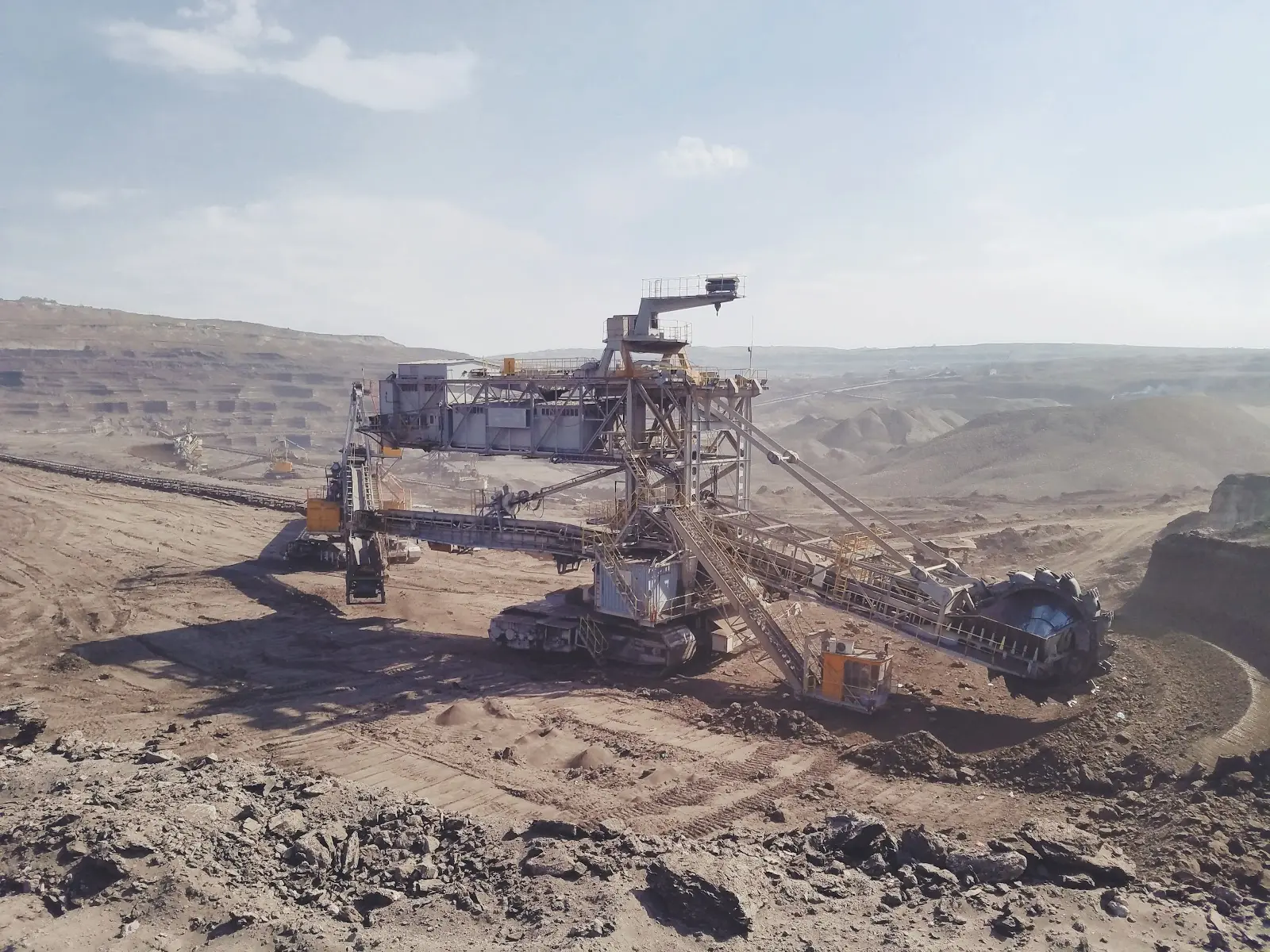
Whether directly or indirectly, we’ve all likely felt the effects of the supply chain difficulties being experienced in the battery metals market. Prices for metals such as nickel, copper, cobalt, and lithium have skyrocketed recently as demand rose for electronics and energy storage technologies while supply struggled to keep up. To put it in perspective, as of November 2022, a single tonne of lithium carbonate—one of the refined forms of lithium used in batteries—costs $78,009, an increase of more than 1,000% compared to the beginning of 2021, when the price hovered around $6,500.
All over the world, companies are scrambling to mine enough metals to meet demand, but with new planned mines comes concerns over their environmental impact. One recent instance of this occurred when Lithium Americas announced a planned mine in northwest Nevada that could negatively impact the habitat of a rare, tiny springsnail.
Moving forward, it’s important that we find a balance between mining the metals we need for our electronics and ensuring the environment remains healthy for its inhabitants.
Building Better Prospectivity Maps With GIS
Mining companies have a challenge; they need to be able to explore areas that represent the best opportunities to find new metals, while reducing their impact on the environment. From forests to wetlands, as well as human populations, mapping the habitats and animal species that will be impacted by a mining operation is vital to ensuring they don’t do irreversible harm to the environment. With the power of GIS, groups have been able to study how mining operations affect the areas around them and how to reduce the impact they have.
In a study published by PloS One in 2021, researchers from Defenders of Wildlife’s Center for Conservation Innovation studied the environmental impact of a mountaintop removal mining operation. Based on decades worth of data and satellite imagery, researchers were able to conclude that the streams surrounding the mountaintop removal mining operation, which are home to over 50 federally protected species, showed a significant decrease in water-quality. The data gathered by their study will help inform future decisions about where new mines should be permitted and how they should be planned so that they have the smallest impact possible.
Another company making mining safer with GIS, Eureka Maps, has actually been able to combine an AI data mining algorithm for identifying battery metals with the International Union for Conservation of Nature’s (IUCN) Red List of Threatened Species. The resulting prospectively maps are 96.8% accurate, and allow both investors and explorationists to rapidly assess the impact of exploration programs from both an investment and environmental impact perspective. This approach reduces exploration footprints by 98% of the former area needed for exploration by helping mining companies zero in on the best opportunities to find new metals that avoid sensitive habitats.
When mining activities are able to target a smaller area, the overall environmental impact of the project is minimized as companies don’t need to build as many roads and other infrastructure. This in turn reduces habitat fragmentation and loss.
Stay Sustainable With the Right Technology
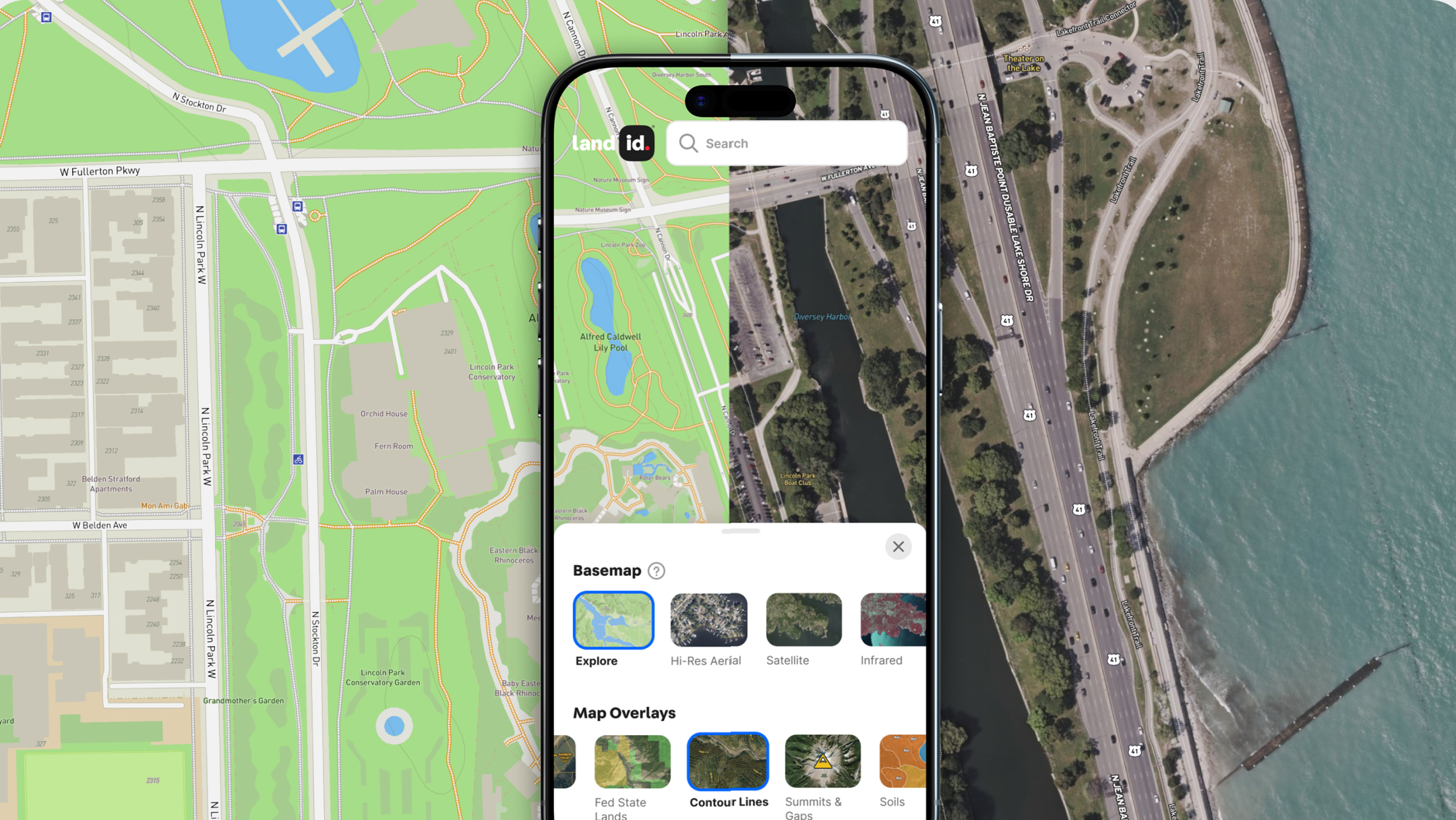
Whether you work in renewables, forestry, land management, land development, or government, environmental health and sustainability is a hot-button topic these days. For your next land-based project, make sure you’re making the best decisions by arming yourself with the most powerful, user-friendly GIS technology on the market. With over two dozen mapping base layers and overlays, the ability to create or upload your own datasets, numerous annotation tools, and a variety of sharing options, Land id® (formerly MapRight) will help you create beautiful, interactive maps that everyone will love.
Start making your first map in minutes when you sign up for a 7-day free trial!
FAQs

Continue Reading


