

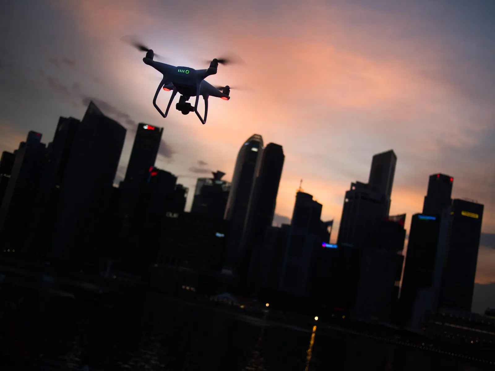
Collecting data for GIS can be time-consuming, which makes it easy for organizations to choose inexpensive and less accurate methods of getting the data they need rather than going through the trouble and expense of utilizing more accurate methods. But thanks to LiDAR for drones, those days are over. Now that LiDAR (Light Detection and Ranging) has become more affordable and easier to use, it’s no surprise that GIS professionals are increasingly opting for drone-mounted LiDAR over traditional data-collection methods.
LiDAR data collection has traditionally required the use of expensive helicopters or crewed aircraft and teams of trained pilots to fly missions that could take hours and cost thousands or tens of thousands of dollars per hour. Today, small Unmanned Aerial Vehicles (UAVs), also known as drones, have made LiDAR data collection faster, easier, more accessible, and cheaper than ever before.
What is LiDAR?
LiDAR is an optical remote sensing technology that uses light in the form of a pulsed laser to measure distances. The device records the time it takes for the light to travel from its source to an object and back again. This allows you to determine the height, surface characteristics like structure or texture, vegetation characteristics such as density and type, and more advanced terrain mapping.
Previously, LiDAR had to be flown over areas with piloted aircraft to gather measurements. However, thanks to the combination and advancement of both drone and LiDAR technology, it has become far more accessible for organizations to use.
LiDAR Makes Collecting Data Easier and Faster
Data collection can be a long, laborious process. However, drone-mounted LiDAR makes it easier to collect data in less time. With LiDAR for drones, you can cover large areas in a shorter amount of time than a human would be able to by walking or driving. This can be helpful when trying to create GIS maps representing large areas, such as those required for environmental management or planning purposes.
LiDAR drones are also not slowed down by terrain like humans are. This maneuverability makes it simple for them to collect data over rough terrain like forests and mountains where there may not be roads available. This means they can get into places faster than it would take a team and be used quicker than it would take to hire a pilot to fly a LiDAR-equipped plane. Additionally, drones don’t need breaks like people do, so their work is uninterrupted!
Collecting Data is Cheaper with LiDAR for Drones
The cost of collecting mapping data is a massive issue for both private and government agencies. LiDAR drones can reduce the cost of collecting GIS maps by as much as 80% to 90%. An Idaho-based study released in 2020 estimated that a single drone-based survey can collect mapping data for between $1,000 and $2,000 per kilometer. This reduction of cost is significant when compared to more traditional methods such as mobile terrestrial LiDAR ($4,000 per km), manned aerial photogrammetry ($6,000 per km), or conventional surveying methods ($8,000 per km).
Drones Can Go Where Humans Can’t
LiDAR for drones is able to do more than just map new areas faster. It can also help you get to places that were previously inaccessible or required experienced and skilled pilots to fly in the area safely. For example, when surveying areas with rugged terrain, like cliffs or desert regions where no roads or trails lead to the survey location, you can utilize LiDAR for drones to map out its topography and inventory any structures like buildings. This type of information is incredibly valuable when planning future development projects or understanding how land-use patterns have changed over time.
In addition to being able to fly into areas previously unreachable for traditional surveying techniques, drone-mounted LiDAR also makes it easier than ever before for professionals in remote regions to collect information about their surroundings without risking injury or death. Collecting data for a GIS map is often dangerous. Because drones allow you to survey from the air, they give workers some protection from these potential dangers.
LiDAR Gathers High-Quality & Accurate Data
LiDAR for drones is a much more accurate and expansive way of collecting data than previous methods, including aerial photography and satellite imagery. This technology allows GIS professionals to collect high-res, detailed point clouds at speeds previously thought impossible. LiDAR can collect data points extremely quickly — up to 1.5 million per second — which means you can scan large areas without having to spend too long in one place or making multiple trips to the area being mapped out.
In addition to speed and accuracy, LiDAR provides point clouds that are far more precise than any other survey method. A point cloud has the ability to get an exact location of an object within centimeters. This means that you will be able to get detailed data from your drone’s LiDAR system—even if it’s flying over dense trees or buildings!
Looking for Better Maps? Use Land id®
Whether you’re building a map to sell property, identify customers, survey land, or protect the environment, the most vital thing to have is good data. LiDAR for drones has improved the way GIS mapping is done by reducing the time and cost of gathering data on an extensive scale while providing higher-quality data than ever before. With Land id® (formerly MapRight), we can help you visualize that data.
Land id® makes it easy for professionals to do their job efficiently and accurately. Land id® is a cloud-based software solution that can help you extract information from drone mapping data. We provide powerful tools that allow you to build custom databases based on your data—such as coordinate locations, previous surveys, parcel data, images, and more—and visualize them however you choose. If you’re looking for high-quality maps, you don’t have to invest in a drone to make them; all you have to do is sign up for a free 7-day trial with Land id® today!
FAQs
Continue Reading
Craig Rowe
How Factory-Built Housing Can Reshape America’s Housing Market
.png)
By Land id
The U.S. housing industry’s decade-plus-long inventory challenge could see its first true sign of resolution should the 21st Century Road to Housing Act become law.

Craig Rowe
Can Refurbishing Schools Help Solve Housing Issues?
By Land id
Old public schools are becoming apartments as enrollment drops. See why school-to-apartment conversion is adaptive reuse's fastest-growing niche.


Explore Private Parcel Data & Property Boundaries
Download the Land id app and try for free.
