

Dallas, TX — October 21, 2021 — Land id® (formerly MapRight) is proud to announce that our Panos subscription now supports the Insta360 ONE X2 camera. With this addition, users can upload beautiful 360-degree panoramic images taken on the Insta360 ONE X2 camera to their interactive maps.
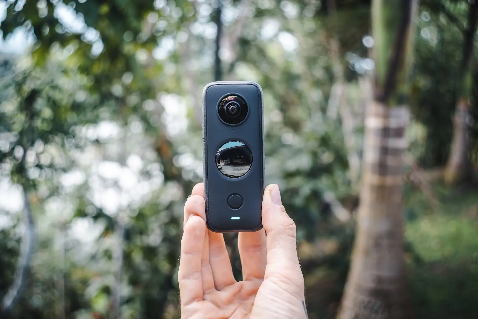
The Insta360 ONE X2 camera allows users to capture high-quality panoramics with the press of a button, and the process is incredibly simple. Once a user purchases the device and downloads the mobile app, all they have to do is configure the settings, mount the camera, and take a picture. The software will automatically edit out the selfie stick the camera is attached to, leaving you with a complete picture that not only goes all the way around, but up and down as well. Once you capture the photo, you can export it to your camera roll, upload it to a desktop and add it to your Land id® map where you can view the image in a matter of minutes.
The Insta360 ONE X2 camera is compatible with both iOS and Android devices, offers a panoramic resolution of 4320×1440 (3:1) and has received glowing reviews by Forbes, The Verge and Wirecutter, among many others.
“The addition of Insta360 ONE X2 camera panoramas to our maps will be incredibly useful for our clients,” says Land id’s founder, Steve Roberson. “Panoramic images are a great way to make an interactive map even more engaging, and now, it’s easier than ever to add one.”
Panoramics are an essential tool for professionals across industries, but they can be of particular benefit to those in real estate. Realtors can use these immersive images to give prospective buyers a more complete picture of the land, highlight key features and even provide virtual tours.
Insta360 ONE X2 camera panoramics are now conveniently supported by the Land id® web and mobile application. Sign in to your Land id® app or create an account to give it a try!
About Land id®
Building on several decades of education and experience working with GIS, Land id® was founded in 2014 to help companies and individuals gain a better understanding of properties and land features and be able to more intuitively communicate them with others. Land id® offers nine different GIS base layers and nearly two dozen Land id® layers, countless styling and customization options, and several easy ways to share your maps. A 7-day free trial helps users get started on the web app and companion mobile app.
About Insta360
Insta360 was founded in 2015 so people could have a better way to share immersive experiences. Their mission is to help people capture and share their lives, which they accomplish by making innovative creative tools that no one else is crazy enough to build. Over 100 million photos and videos have been created by Insta360 products, which are being used in over 200 different countries and regions.
FAQs
Continue Reading
Craig Rowe
5 Real-World Land id Workflows Worth Borrowing
.png)
By Land id
See helpful examples of how real estate pros use Land id to win listings, market properties, plan developments, and make smarter data-driven decisions.

Alyssa Toohey
Off the Map & In Person: The Land id Team Gets Together

By Land id
The Land id team came together in Montana for collaboration, connection, Big Sky views, PBR, Yellowstone, and plenty of memorable moments.


Explore Private Parcel Data & Property Boundaries
Download the Land id app and try for free.
