For as long as humans have been buying and selling land to each other, land appraisal has been a critical part of the process. Land appraisal determines the amount of compensation a landowner will receive when they sell their property, and for the appraisers who undertake this responsibility, it requires comprehensive research as well as a solid understanding of how the real estate industry works. Each parcel of land is unique, after all, and a long list of factors ultimately affect its appraised value, which means appraisers have a lot of data and other information to comb through before they can call theirs a job well done.
Luckily for the appraisers doing this job every day, this profession has come a long way from its humble beginnings in Ancient Greece and Rome. Today, appraisers utilize sophisticated technology and data collection methods to assess land and determine valuation. One modern tool that has found its way to the center of the land appraisal process is geographic information systems, or GIS. These systems aid appraisers before, during and after they visit a location, effectively serving as a repository for information as well as a virtual whiteboard where data can be properly evaluated.
How can GIS maximize your land appraisal efforts? For the answer to that question, you’ll have to keep reading.
View and Compare Different Types of Land Parcel Data
Each land appraisal requires extensive research into the property and its location, environment, features, and usability. With the help of GIS, this investigation begins well before an appraiser even sets foot on the land in question as publicly available GIS data sets help them gain an understanding of a number of characteristics that impact land valuation. These include:
- Accessibility: Aerial maps help appraisers determine how accessible a piece of land may be. A landlocked property is less valuable compared to a property that is more easily accessible and can be developed. Additionally, most cities require new construction to have a certain amount of street frontage, so accessibility can impact usability and, by extension, value.
- Infrastructure: Aerial maps are also a great resource for determining if a parcel has any existing infrastructure. Land that has any buildings or utilities on it already will appraise for more than a raw, undeveloped parcel.
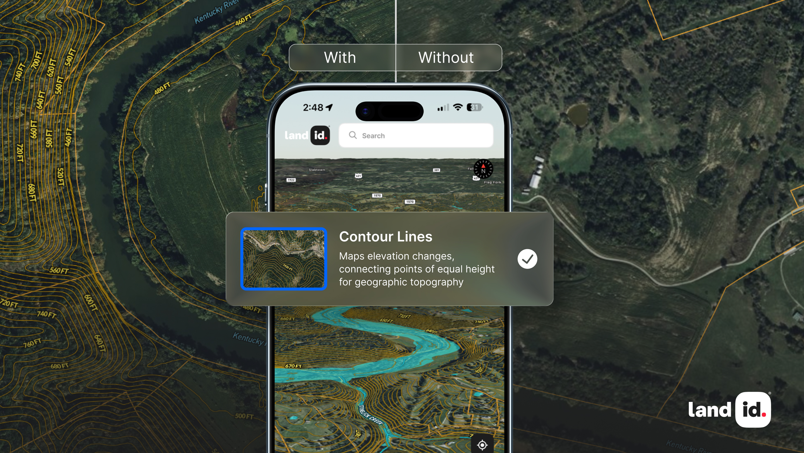
- Size, Topography, and Shape: By utilizing online parcel data, appraisers can discern the size and shape of a land parcel. When you add a layer to your map for topography, you can determine how much of a property’s acreage is usable. Size, shape, and topography all affect how a piece of land can be developed which affects value.
- Location and Surrounding Properties: Appraisers also need to look beyond a property’s boundaries to assess value, a task made much easier with the help of GIS mapping software. With GIS, you can quickly look at applicable school districts, proximity to shopping centers, and more. You can also take this time to learn more about surrounding properties to see how the area is developing.
- Improvements: While there isn’t much to be done about a parcel’s location, part of a land appraisal is to determine what improvements can be made to a property in order for it to be usable. This could include things like building infrastructure and installing utilities (if none exist) or laying down a road.
While appraisers can collect most of this information from disparate sources, GIS programs help you easily gather it all into one place and view it beside each other. If you choose an application like Land id® (formerly MapRight), you won’t even have to go far to find what you need. Since our platform includes aerial mapping layers and GIS overlays for a variety of different data, everything you need is all conveniently in one place.
Mobile Access and Data Gathering
All the research you do before visiting a property helps you get a clearer picture of the land, but there’s something to be said about appraising land in person. Luckily, when you go out for your visit, you don't have to leave all the data you’ve compiled thus far behind, and you can even add to it while out in the field. This is one of the benefits of GIS; a web-based application can be accessed anywhere.
When you’re able to have GIS data on hand on your smartphone or tablet while you’re on-site appraising a property, you’ll be able to compare what you’re seeing on the ground to what the data said you’d see on the ground. This comparison helps you determine how accurate the data was in the first place, and it gives you the chance to make corrections. For example, it may have appeared like there was an existing road from aerial imagery, but in person, it’s obvious the road is impassable in its current state. When you encounter a detail like this you want to document, you can simply add it to the map for the property you’re creating.
If you’re using Land id®, you have the ability to take a photo or video and attach it to your current location on the map. You can also track your location as you move around the property, and when you’re done, you can save this route to the map for future reference when you’re back at your desk.
Assisting with Market Analysis
Once you’ve completed your site visit and finalized your research, it’s time to get to the meat of your job: appraising a property’s value. One of the most common valuation methods for land appraisal is doing a sales comparison. In this approach, an appraiser uses other, similar lots in the area to determine the most profitable and feasible way a given property should be developed and from there, calculate what it should be valued at. Finding comps can be its own hurdle—there are dozens of different factors to consider, and then you need to decide how much weight you should give each factor. You could have two waterfront properties of similar size, for instance, but if one has more usable acreage than the other, it should be valued higher.
To make the process faster, many appraisers create proprietary sales comps databases which allows them to track the many unique factors that help determine value. On Land id®, you can create your own fully customizable comps database where you can easily store, reference, and visualize comparable properties. You’ll have full control over what feature groups you track on your map, and you can even differentiate features by attribute, such as year sold, square footage, sale price and more. There is no limit to the number of attributes you can add, and as you do your analysis, simply toggle them on and off to your liking.
Maximize Your Land Appraisal With Land id®
Land appraisal is an essential part of any real estate transaction, and with the evolution of GIS technology, this process can now be done more accurately, resulting in potentially higher revenues for everyone involved. If you appraise land day-in and day-out, Land id® is the solution for you. Our software helps you at every stage of the process, allowing you to layer all of your findings onto one organized, interactive map. By visualizing all of your property and land data in one place, you’ll gain a fuller picture of each parcel which will help you make better comparisons down the road.
Land id® provides you with a vast range of data, the ability to upload your own information, an array of customizations, and even allows you to instantly turn parcel data into a comparable sales feature group. With all of this at your fingertips, you’ll be well-equipped to make accurate appraisal valuations. To learn what you’ve been missing, start your 7-day free trial of Land id® today!
FAQs

Continue Reading


