

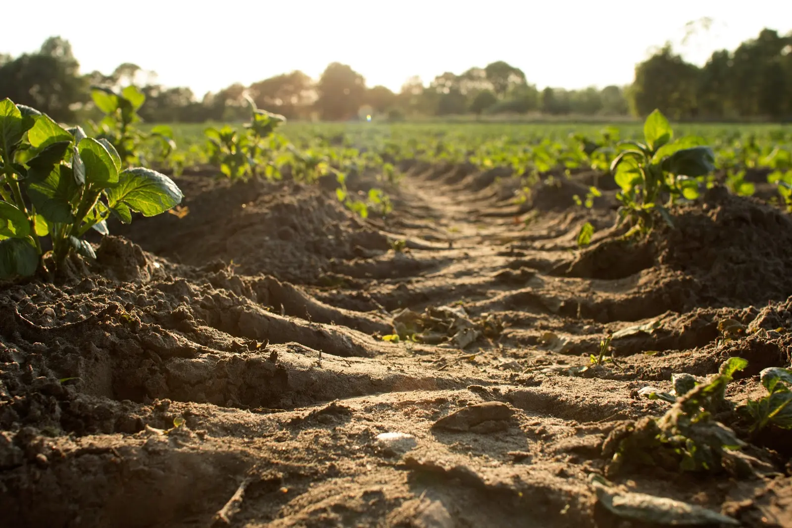
Dwight D. Eisenhower once said, "farming looks mighty easy when your plow is a pencil and you're a thousand miles from the cornfield." Let’s just say, farming isn’t for the faint of heart - it’s incredibly hard work. You can’t simply plant something at will and watch it flourish; a successful harvest takes strategy. Of course, the productivity of the land is partially determined by the conditions you’re dealt, but proper planning and the use of farm mapping software can make a world of difference.
Choosing The Right Location When Purchasing Land
While every plant has different needs, most crops require moderate temperatures and regular precipitation to thrive. Rainforests cover a mere 2% of the Earth’s surface, yet due to their tropical location, they’re home to over two-thirds of our plant species. This goes to show that the climate plays a huge role in how well things can grow. However, climate isn’t the only location factor to consider. The best area for a farm will also depend on the landscape. Not only do steep slopes make operating heavy vehicles challenging, but they also increase erosion. This can present a big problem for farmers; the topsoil, the part of soil most likely to wash away, contains the majority of the soil’s nutrients and fertility.
While it’s possible to assess both of these factors individually, farm mapping software can help simplify the process. With Land id® (formerly MapRight), farmers can create a soil report for any property they choose, where they’ll instantly be able to find the land’s National Commodity Crop Productivity Index (NCCPI) rating. This number shows the land’s ability to produce dryland crops based on the soil’s properties, the landscape, and the climate. The more suitable the land is to crop production, the higher its rating will be.
Choosing The Right Crops For Your Soil
Ideally, you could choose exactly where your land is situated, but more often than not, that isn’t an option. Luckily, regardless of where your farmland resides, there are plenty of ways to maximize its productivity - and it starts with understanding the earth. Not all soils are equally suited for all crops. Every plant has its own unique needs, and every soil has its own unique characteristics:
- Clay soil: poor at draining, few air spaces, cold and wet in the winter, dry and hard in the summer, high in nutrients
- Sandy soil: drains easily, warms up and dries out fast, low in nutrients, often acidic
- Silty soil: nutrient-rich, holds moisture, easily compacted
- Chalky soil: free-draining, highly alkaline, difficult to keep fertile
- Peat soils: acidic, warms quickly, retains moisture, low in nutrients, high in organic matter
- Loam: a combination of sand, silt, and clay, adequate drainage, retains moisture, nutrient-rich, warms quickly but slow to dry out
By looking at the type of soil their land contains, farmers can better determine which crops would thrive. The question is, how do you know what type of soil you have? There are a few ways to find out - making an educated guess based on texture, DIY home tests, etc. - but the easiest (and most accurate) way is to look at a soil report. With Land id’s farm mapping software, farmers can instantly assess what type of soil they are dealing with, where exactly that soil is located, and even its capabilities. And to make choosing the best crops even simpler, Land id’s farm mapping software also includes Weighted Average Productivity Index (WAPI) values. These measures show the expected average yield per acre for specific crops, allowing farmers to easily estimate how productive their land will be based on what crops they choose.
Strategic Fertilizer Application
Like with crop selection, farm mapping software can come in handy with fertilizer application. While some soils are naturally high in nutrients, others may need fertilizer or organic materials to fulfill the crop’s nutrient needs. So, by understanding the soil type and the crop’s nutrition requirements, you can better assess what those crops will need to thrive.
However, while fertilizer can be of huge benefit to farmers, it can also be extremely destructive to the environment. When fertilizer application isn’t well planned, potentially dangerous materials can seep into nearby waterways, causing toxic algal blooms, making water unsafe to drink, and even killing marine life. Luckily, this is preventable. With Land id’s farm mapping software, farmers can add a layer to their maps for both topography and waterways, allowing them to determine the course of runoff and plan their fertilizer application accordingly.
Planning Crop Rotations
There’s a lot to consider when it comes to planning crop rotations, but two of the biggest factors are the soil’s needs and the market. To start, crops require more of some vitamins and minerals than others. Over time, this can cause the crop to leach the soil of those vital nutrients. By strategically switching between crops that absorb a certain nutrient and those that return it to the soil, they can keep the earth from becoming depleted. In addition, many weeds and harmful bugs feed off of specific crops, so by rotating them, pests won’t be able to survive in the same location year after year.
Farm mapping software will not only allow farmers to track and visualize their crop rotations, but analyze the market as well. Farmers can import GIS market data detailing the current prices for any crop they choose. This information, in conjunction with data from soil reports, will allow them to predict which crops will be most profitable for them that season.
Maximize Your Land’s Potential With Land id’s Farm Mapping Software
Farming isn’t about forcing the land to be something it’s not, it’s about working with the land to help it reach its full potential. With Land id’s farm mapping software, you can do exactly that. You can find comprehensive soil reports detailing the soil type, its productivity, and the expected yield by crop, add layers to your maps for topography, water sources, and anything else you deem relevant, and even import GIS data. And that’s not all; you can also build crop and pasture databases for more efficient management. With all of this at your fingertips, maximizing the land’s potential is simple. Ready to get more from your farmland? Sign up for a 7-day free trial of Land id® now!
FAQs
Continue Reading
How to Price Land for Sale Using Comparable Sales Data
By Land id
Learn how to price land using comparable sales. Find, analyze, and adjust vacant land comps to price listings accurately and sell with confidence.
Craig Rowe
Can Refurbishing Schools Help Solve Housing Issues?
.png)
By Land id
Old public schools are becoming apartments as enrollment drops. See why school-to-apartment conversion is adaptive reuse's fastest-growing niche.


Explore Private Parcel Data & Property Boundaries
Download the Land id app and try for free.
