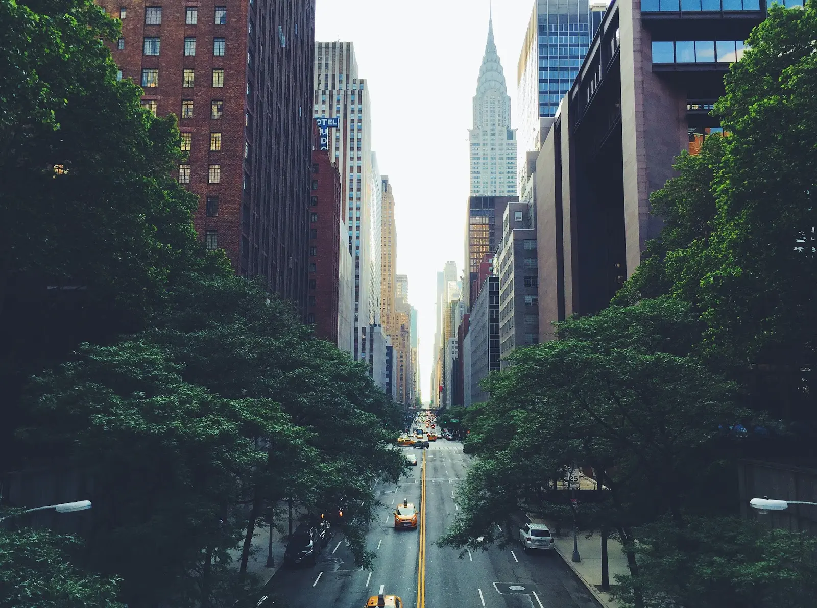
Urban trees are vital to our well-being, but the future of these gentle giants is under serious threat. Studies show that urban tree coverage in the US is declining at a rate of approximately 175,000 acres, or roughly 36 million trees, each year. The financial impact of this is severe; the loss of benefits is estimated to be at least $96 million a year.
However, it’s not all doom and gloom. With the help of tree mapping software, we can protect our urban forests and restore them to their former glory.
Benefits of Urban Trees
Urban trees don’t just beautify our neighborhoods, they offer a host of benefits for the people living in them as well. These are just a few:
Improve Health
Numerous studies have shown that spending time around trees can improve our health. Just looking at trees reduces blood pressure, cortisol, and adrenaline levels.
Plus, trees can do wonders for our immune systems as well. Trees create airborne chemicals called phytoncides to protect themselves from disease. These chemicals have antifungal and antibacterial properties, and when humans breathe them in, our bodies respond by increasing the production and activity of a special type of white blood cell (NK) that kills tumors and viruses.
Heat Reduction
Not only do trees improve our health, they also reduce the temperatures of urban areas. Trees offer shade, further cool the air by taking in and evaporating water, and absorb 96% of ultraviolet radiation.
And that’s not all—trees can even save you money. Properly located trees can save up to 25% of a house’s energy consumption for heating and cooling.
Pollution Reduction
Trees also have an incredible ability to reduce pollution. Excess CO2 is detrimental to the environment, but trees absorb that CO2 and release oxygen back into the atmosphere. What’s more, urban areas are often plagued by the sounds of busy roads and construction, but trees are about to deflect those sounds, reducing noise pollution.
In addition, trees filter dirty surface water by absorbing nitrogen and phosphorus into the soil (and by absorbing water, they reduce the chance of flooding).
Threats to Urban Trees
Every species of tree has specific requirements that must be met in order for them to thrive. They need a certain soil texture, level of moisture, temperature, amount of sunlight, set of organisms, etc.
When you plant trees out of their natural habitat, many of these requirements can’t be met. Compound that with the additional restrictions urban areas place on trees, and those trees end up experiencing a great deal of stress.
Pollution
Air pollution can be extremely damaging to trees. It injures their leaves, impairs photosynthesis and respiration, and overall, weakens trees, making them vulnerable to insects and disease (and that’s not even considering the effects pollutants have on the soil trees rely on for nutrients).
The Warming Climate
Many trees prefer warm weather, and all trees need CO2 to survive. However, too much of a good thing can be problematic. Excessive warming and CO2, combined with a lack of water and adequate nutrients, can be stressful for trees.
To make matters worse, warmer temperatures can also cause an increase in insects and diseases. Many of these pests die off in the cold of winter, keeping their populations in check—but that doesn’t happen when temperatures stay warm year-round.
Lack of Nutrients
Urban areas filled with human activity often have compacted soil, making it difficult for tree roots to expand. This can severely limit the tree’s ability to receive the water and oxygen it needs.
Increases in Impervious Cover
An impervious surface is one that water cannot penetrate, such as pavement, preventing the water from soaking into the Earth. Studies found that the decline in urban trees came with a 1% increase in impervious cover over a 5-year period. With the growing amount of impervious cover we’re seeing in urban areas, trees have less and less room to spread out their roots and fewer places to drop an acorn and repopulate.
And the increase in these surfaces isn’t just harmful to trees; impervious cover can also raise the temperature of the air and cause floods due to the lack of drainage.
How Tree Mapping Software Can Help
No matter what, urban trees will face some level of stress—trees aren’t necessarily built for urban areas—but that doesn’t mean there’s nothing we can do. With tree mapping software, we can help bring back our urban forests.
Find Areas to Plant
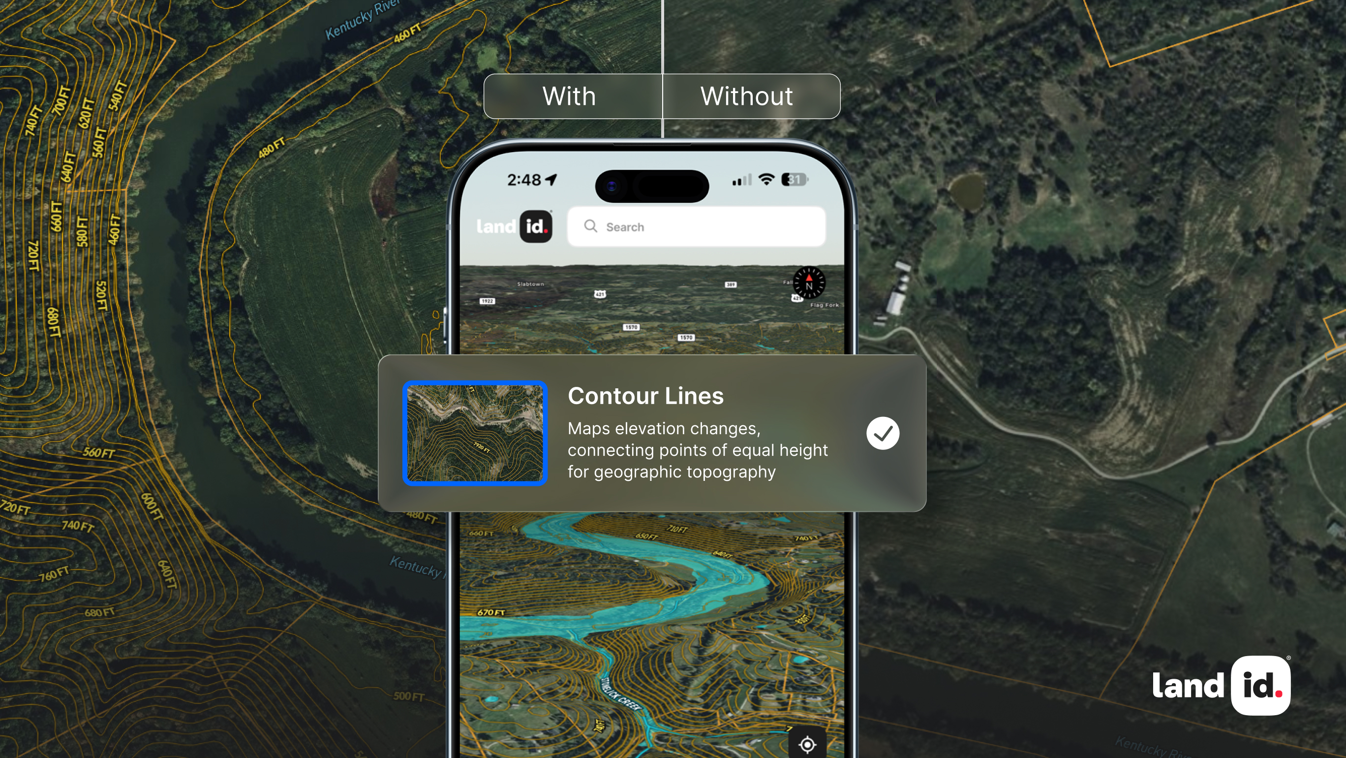
One way to begin restoring our urban forests is to plant new trees. However, finding the right place to do so isn’t always easy—unless you have the right tools. With Land id’s tree mapping software, you can instantly look at soil reports to determine what nutrients will be available and add a GIS layer to your map for any other factor that could impact a tree’s ability to survive: temperatures, precipitation, sun exposure, etc.
And that’s not all. You can also use tree mapping software to find the urban areas that need trees the most. Tree inequity is a huge problem, but by identifying the areas that lack trees, we can work towards solving it.
Track Change
Tree mapping software will also come in handy for tracking changes in tree populations over time. To start, you could analyze aerial photographs to determine approximate tree populations, then compare those to the populations of previous years. You could also create a custom database with information on the trees in an area, and even layer other data (temperatures, precipitation, etc.) to identify patterns that may not have otherwise been apparent.
Get Started With Land id®
With dozens of GIS layers, instant soil reports, and map customizations such as aerial photographs, Land id® (formerly MapRight) has all of the tools necessary to help our urban forests thrive. By layering data on your Land id® map, you can make deeper analyses, identify patterns and trends, and gain a more complete picture of the land.
Ready to make a difference with Land id’s tree mapping software? Start your free trial today!
FAQs
Continue Reading


