Life would be wildly different if we didn’t have maps. From highlighting important trends to helping us find our way to new places, these visualizations shape our perception of the world. Accordingly, cartography is a great career to be in; the work is interesting, travel is frequent, and it’s a highly creative occupation. Occasionally, cartographers will even sneak a fictional city into their maps to catch copycats (Google Maps does it too - ever heard of Argleton, England?). All of that is to say, mapping experts contribute a great deal to society.
Mapping Experts
Who Are The Mapping Experts?
Cartographers use surveys, data, and technology to create or update maps - and they don’t let just anyone become a cartographer; to join the elite population of mapping experts, one first must get a degree. While there are several fields relating to mapmaking one could study, most cartographers earn their degrees in cartography, geography, geomatics, surveying, engineering, or occasionally, forestry or computer science. Depending on the state they’re in, cartographers may need to receive a surveyor’s license as well. And that’s not all; beyond a bachelor’s degree and a license, modern mapping experts often need additional training and education due to the emergence of GIS technology.
Benefits Of Hiring A Professional
With the rise of mapmaking technology, many question whether cartography is still a relevant occupation, but there are many situations where an experienced professional is the best option. The most significant benefit to hiring a professional is likely the effort it can save; they essentially do all of the work for you.
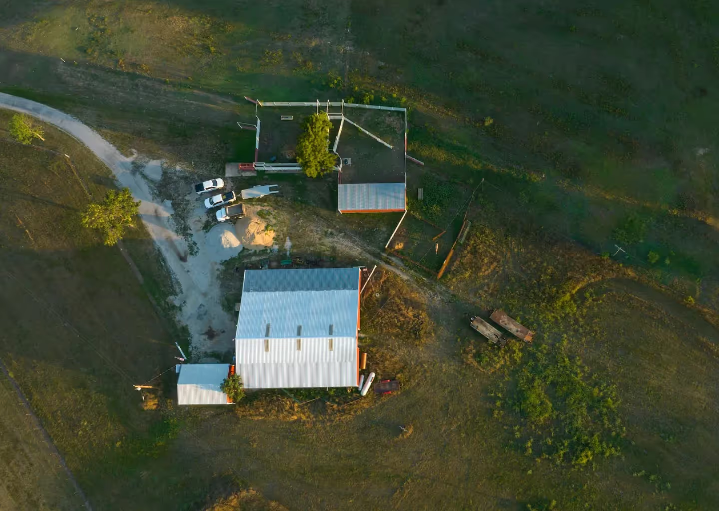
This is especially useful when it comes to complex tasks such as combining different data sets. Scanned documents and photos tend to come in raster format, so they’ll need to be vectorized (converted into vectors) in order to interact with the rest of the data. Large properties such as farms and ranches may require a professional, as well. Mapping massive properties in their entirety could necessitate the use of drones or helicopters, which may present a barrier to those without experience in that area. These processes can be difficult and time-consuming, so often, the best option is to leave it to those you know will get it right - the mapping experts.
Working With Mapping Experts
It’s difficult to sum up the experience of working with a cartographer because every situation is different. For example, a property survey could take anywhere from a couple of days to a few weeks - possibly longer if the cartographer has to retrieve deeds and other files from the courts. However, even if documents aren’t a factor, purely digital maps still take some time to complete - there’s a lot that goes into them. In addition to time, another wildly variable factor to consider before hiring mapping experts is the price. While there’s no definite answer on the price of hiring a professional, generally speaking, the larger the plot, the more surveys conducted, and the more time the professional must dedicate to the project, the higher that number will be.
Mapping Software
Benefits Of Software
Cost
Unlike working with a professional cartographer, the cost of mapping software tends to be highly predictable. In most cases, it’s a clearly defined monthly or annual fee, which can vary slightly by the number of maps, number of users, or frequency of payments. Regardless of which plan one chooses, software tends to be less expensive than hiring mapping experts - especially if you plan on making more than one map. Most software offers a plan that allows for multiple maps, while a cartographer will charge a fee for each additional drawing they make.
GIS Layers
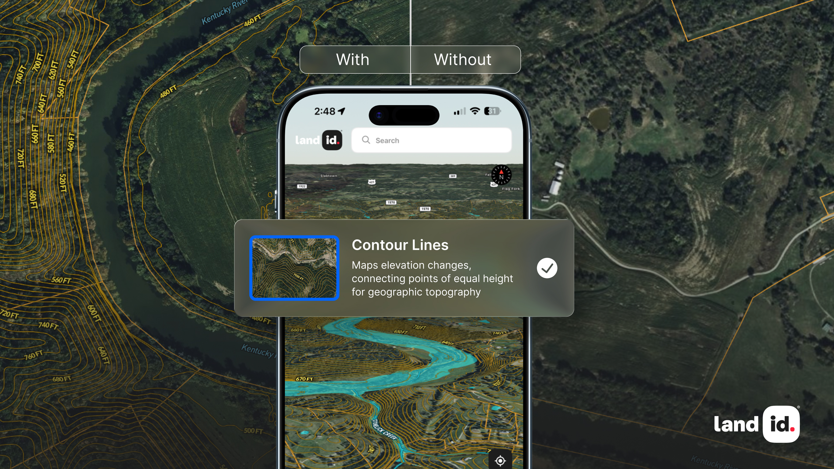
What’s more, GIS mapping software comes preset with a wide range of data and GIS layers users can easily add to their maps. For instance, instead of a farmer paying a cartographer for deed plotting, a topographic survey, locating water sources, and analyzing weather reports - which could add up fast - they could simply add a GIS layer for each. The best part is, there’s GIS data available on almost everything - from demographics to CO2 emissions to vegetation.
Updates
Unfortunately, unless you plan on rehiring them anytime you wish to make a change, working with a cartographer often means the map can’t be updated; what was true when the map was made is what the map will display. Maps created with software, however, can be updated instantly, some even automatically. Plus, you can always add on if another land feature becomes important enough to include.
Working With Software
The challenges of working with software will depend primarily on the software you choose, but its typically more difficult than hiring mapping experts; no matter how user-friendly the application is, you’re still creating the map yourself. The first step in building a map with software is often analyzing relevant documents such as the deed. The deed should lay out a property’s boundaries, but it may or may not do so in simple terms; some deeds rely on metes and bounds, which can be a little more difficult to plot, especially if the physical markers have changed since the deed was drafted. Once you’ve drawn boundaries, the next step is to customize the map - and a great place to start is by adding additional layers, such as soil reports, topography, school districts, etc.
Get the Best of Both With Land id®
It’s Easy
Land id’s (formerly MapRight) software was built with both the professional and the novice cartographer in mind; every aspect of the interface is user-friendly, accessible, and intuitive. For instance, one of the most challenging parts of using software is deed plotting, but on Land id®, users can enter in the metes and bounds, and let the software handle the rest (like calculating areas and drawing boundaries). What’s more, the maps come pre-loaded with an array of layers that can be added with the press of a button; you can build an entire layered map in a matter of minutes. Once it comes time to share the final result, users can simply text it, email it, or use the embed script we provide to upload it to their websites.
It’s Customizable
Beyond the unique set of layers and GIS data you choose to include, Land id® maps can further be customized with annotations. Users can attach aerial photos, panoramics, and videos to specific locations on the map to help viewers better visualize the property, use icons and labels to clarify the purpose of different sections, and realtors can even add parcel data.
We’ll Pick Up Where You Leave Off
It’s human nature to start things we can’t quite complete. Whether the map got away from you, you ran out of time, or you’re looking for a professional touch, we’ve got you covered. If you can’t finish the map (for any reason), our mapping experts will pick up where you left off. And we won’t make you pay a ridiculous fee either; we charge on an hourly basis, so the work you do is money back in the bank. When it’s done, we’ll even print the map for you!
Get Started
The decision between hiring a cartographer and building a map yourself isn’t an easy one; it’s a trade-off between the ease of handing the work over to mapping experts and the cost-effectiveness and capabilities of software. However, with Land id®, you can get the best of both; ease, customizations, cost savings, and a professional touch. Ready to get started? Sign up for your 7-day free trial, and start making impressive maps today!
FAQs

Continue Reading


