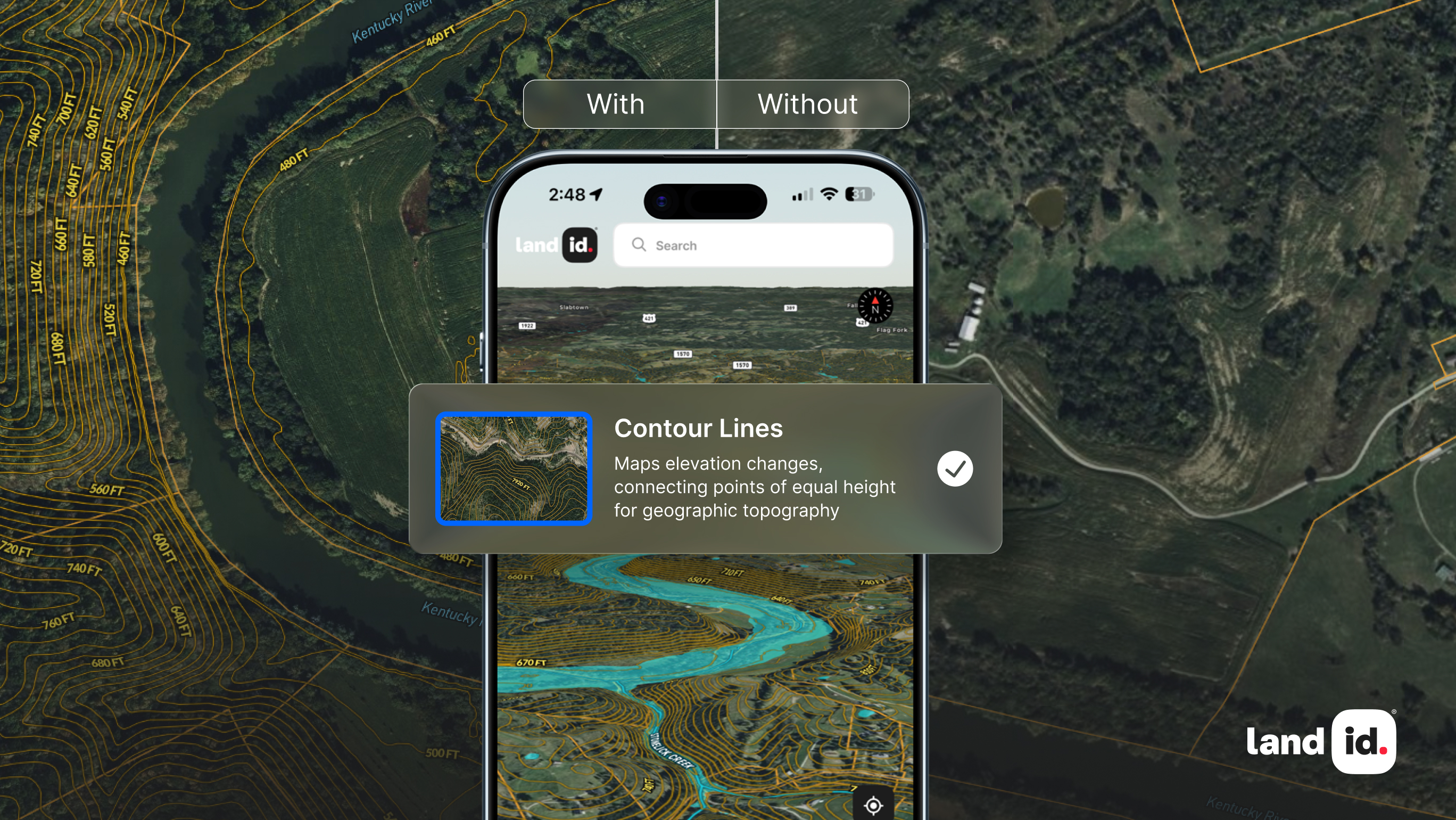
Geographic Information Systems (GIS) are computer systems for capturing, storing, analyzing, and managing data and associated attributes spatially referenced to the earth. In other words, a GIS lets us visualize data on a map. Since it was first created in the late 1960s, GIS technology has grown exponentially. Today, there are many applications of GIS beyond what it was initially developed for, with GIS being used across industries, from real estate to agriculture. As it becomes increasingly accessible to businesses, both big and small, and more precise through rapid advancements in technology, the future of GIS is bright.
The History of GIS
The history of GIS begins with Roger Tomlinson, who was commissioned by the Canadian government to create an inventory of the country's natural resources. Due to Roger Tomlinson's groundbreaking work, the Geographic Information System of Canada was the first computerized GIS in the world. This effort led to a quantitative revolution in geographic science and laid the foundation for modern GIS.
Another early pioneer of mapping software is Howard Fisher, who created one of the first computer mapping software programs ever, SYMAP, in 1964. One year later, he opened Harvard's Laboratory for Computer Graphics, where some of the first map-making software was made and refined. The Lab, as it was called, became a center for spatial analysis and visualization research leading to the development of many technologies that would shape the future of GIS.
In 1969, a member of the Harvard Lab and his wife would form Environment Systems Research Institute, Inc. (Esri). This environmental consulting firm offered GIS-based decision support to land use planners and resource managers. Many of the mapping and spatial analysis methods developed by Esri are still in use today.
While these early iterations of GIS made great strides in bringing this technology to researchers and land management professionals, it would be many years before the general public would be able to experience the benefits of GIS firsthand.
GIS Today
In the past few years, there have been significant advancements in the field of Geographic Information Systems. Today, GIS is used for a variety of purposes, including mapping, surveying, land management, environmental planning, and much more. Additionally, GIS is used to study the Earth's surface and track changes over time.
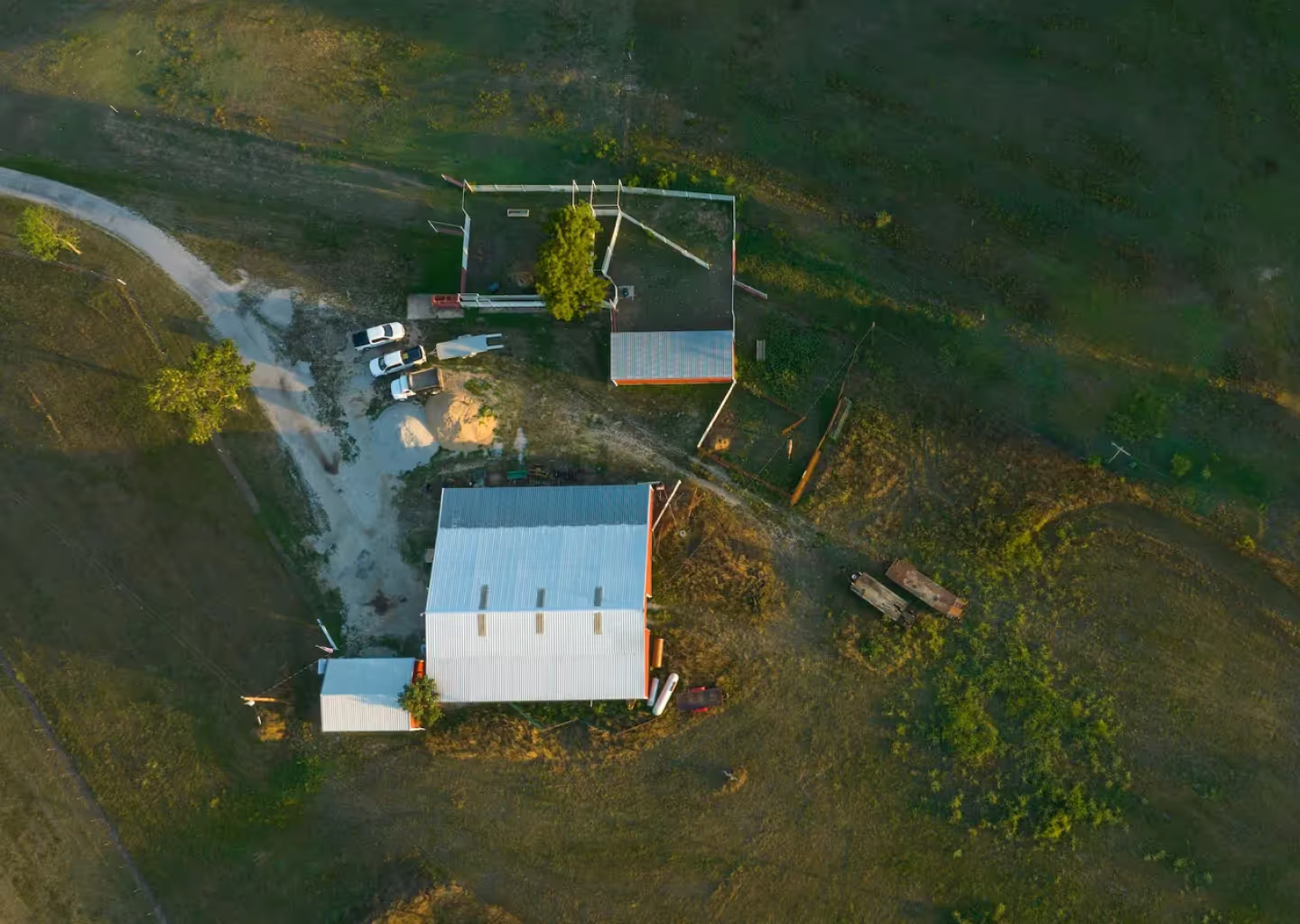
Technological advances such as remote sensing have made GIS even more powerful. Using remote sensing, GIS professionals can gather objects' data without being physically present. This allows location-based data such as air quality or temperature to be quickly collected and spatially analyzed.
Because of the technological demands it once required, in the past, GIS was used mainly by large organizations with a lot of resources. However, technological advances have made GIS accessible to small businesses such as real estate agents and surveyors, helping them gather and share land-based data and make more strategic decisions.
Additionally, mobile applications and cloud-based solutions have made GIS even more accessible. Over the last decade, GIS has taken a leap from being used primarily with laptops or desktop computers to becoming something most users experience through mobile devices. Mobile apps have made it easy for users to access mapping technology on their phones or tablet devices while they’re out visiting a property. In the future, this trend of accessibility should continue, allowing users to form an even stronger connection with their land-based data and gain a deeper understanding of the world around them.
The Future of GIS
Although no one can predict the future, it's not difficult to see that the future of GIS will be filled with new advancements. Accessible from the palm of your hand through mobile devices and more present in daily life than ever before, GIS has changed the way people view the land and the planet as a whole. We can only speculate how this technology will affect our society in the future, but we know for sure that it will continue to make a major impact.
A few examples of ways GIS might change in the future include further integration with augmented reality (AR) and virtual reality (VR). With technologies like Google Earth and Street View paving the way for VR, there are endless possibilities for things like real-time data collection from different perspectives, or even indoor mapping where an individual could tour an office building or worksite remotely.
Indoor mapping can be used to create a virtual map of the inside of a building. With this, it is possible to view a 3D model of a house on a computer before ever physically walking through it. In the future, this technology could be integrated with AR or VR to give prospective real estate buyers incredible levels of access without leaving the comfort of their homes. Instead of visiting an open house and hoping to see everything, these individuals will be able to walk around the entire space at their own pace.
Perhaps even more importantly, GIS may play a significant role in integrating data collected by IoT devices. With billions of sensors generating an unimaginable amount of data each day, there needs to be a system set up that can store all this information and make sense of it; GIS could provide just such a system. One thing is certain: GIS offers limitless opportunities when combined with other technologies!
Land id®: Mapping Made Today for Tomorrow
Regardless of business size, Land id® (formerly MapRight) provides a user-friendly solution that allows you to get mapping software at a fraction of the cost. These tools can help you with marketing properties for sale, planning construction projects, or managing land resources.
Whether you're an experienced cartographer or just getting started, Land id takes care of the complex technical aspects of map-making so that anyone can create attractive maps. By clicking a few buttons, you can explore soil reports, customize databases, toggle on and off an array of maps, and much more. With online editing and project collaboration capabilities, you don't have to worry about whether your data is up-to-date or accessible when you need it.
Sign up for a 7-day free trial to experience the future of GIS for yourself.
FAQs

Continue Reading


