Whether you need to measure and allocate plots of land, identify property lines, estimate property values, or plan civil engineering projects, conducting a land survey is invaluable. However, in spite of the crucial role it plays in many people's lives, surveying land can be tedious and difficult, taking up to several days to complete. While land surveying methods have changed over the centuries, technology has made great advances in recent decades that can be leveraged to simplify this process. One of the most useful technologies currently available to land surveyors is geospatial information systems (GIS) software.
GIS combines mapping and database technology to store information about the world around us. Unlike older methods of surveying that could only be so accurate, GIS allows you to digitize your map, creating a digital record with geographical coordinates and other relevant information such as property lines or structures. No matter the reason for a land survey, every piece of land holds secrets, but with GIS, you’ll find it much easier to discover them.
The Benefits of GIS in Land Surveying
Before GIS technology entered our everyday lives, land surveys were incredibly time-consuming. Surveyors would spend hours or even days planning their route, having to account for everything from their latitude and longitude to whether or not there were any obstacles in the way. All the while, ensuring they kept detailed notes of every measurement they took so they could record it accurately. To make matters worse, these methods often left room for human error due to all the manual calculations and measurements taken in a field with no precision instruments. Fortunately, with advances in technology like GIS software, land surveying has become much easier and more efficient than ever before!
Planning Projects
The first step of completing a land survey is creating a base survey plan which shows the current condition of the land. Prior to the advent of GIS software, this meant spending hours gathering and reviewing paperwork from various offices. This manual process meant that, oftentimes, important information could be missed or the information found was outdated.
GIS software helps by giving surveyors a number of tools to help with their land survey without them having to leave the office. The most helpful tool is that it allows surveyors to access pre-survey data, including the location of utilities and existing surveys. This data can be used to identify potential issues before the actual survey takes place. It is also useful in identifying areas that need to be surveyed or re-surveyed due to previous faulty work. By studying data about an area and its surroundings, land surveyors can more accurately predict how an area’s topography and hydrology will affect their work in the field.
Collecting Different Types of Data
Land surveyors collect a lot of different types of data to analyze the topography and terrain of the Earth. In the past, this could mean anything from walking a property with an odometer to using a compass and chain. After that, the surveyor would have to find a way to combine and analyze that data in one place. Even harder was making sure the information was easy to understand. Surveyors would have to manually draw lines on maps using overlays, which could take hours to complete and was subject to human error.
Now, with GIS, land surveyors are able to import spatial data from various sources, like LiDAR (light detection and ranging), and GPS points, and overlay it onto maps in order to see the entire picture more clearly. They can also conduct analysis on these maps by overlaying datasets with different features like elevation or proximity to the water table, helping them create an accurate map and identify issues before they happen.
Making Better Decisions
Today’s decisions are informed by more data and analysis than ever before. With time and money being precious commodities, it’s important to make as informed a decision as possible. That’s why having a way to easily access information and interpret it is crucial to any land survey project.
Thankfully, you can use GIS technology to do everything from finding what will be affected when construction begins on a new housing development to pinpointing long-term flood risk areas so you can minimize damage in future natural disasters. Creating maps and charts is an effective way to communicate information, but they don’t compare with interactive GIS dashboards that allow users to generate maps, edit existing datasets or upload new ones based on their own needs and criteria.
The Value of Land id® in Any Land Survey
If you're a land surveyor, you know how tedious and complicated the job can be. GIS makes gathering and manipulating data significantly more manageable, and with tools such as Land id® (formerly MapRight), this data is accessible to just about anyone, expert surveyors and novices alike.
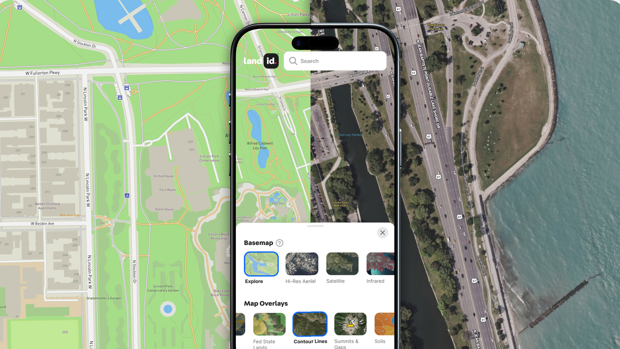
Land id’s intuitive GIS mapping software offers everything professionals need to facilitate a quick, accurate, and incredibly easy survey. With Land id®, you can upload any necessary data – prior surveys, coordinate locations, parcel data, topographic maps – whatever you need! You can then draw shapes, create boundary lines, and measure distances from your device, allowing you to map out your survey in no time at all!
Land id® isn’t limited to just the types of land survey covered here. You can use its GIS mapping software to create layers on your map for an array of land attributes: soil types, water features like streams or ponds, county lines, and even floodplains! And if that weren't enough? Land id® has user-friendly features like driving directions and easily adding photos to a map.
So, are you ready for a simpler surveying process? Start your 7-day free trial of Land id® today!
FAQs

Continue Reading


