In recent decades, GIS has helped us gather and spatially analyze data for increasingly complex scenarios. We’ve used it to learn more about how disease spreads around the world, to help astronauts plan future human missions to the moon, and even to create topographic maps of distant planets. Now, we’re taking GIS underwater.

Zealandia: The Hidden Continent
Currently, only about 20% of the seafloor has been mapped, which is why it should come as no surprise that there has apparently been an eighth continent hiding right under our noses this whole time. Zealandia (also known as Te Riu-a-Māui in Māori) has only been rrecognized by geologists as a continent within the last decade. 94% of its mass is underwater, with only New Zealand and New Caledoni peeking out of the ocean.
Even though it's submerged, geologists still recognize it as a continent because of the kinds of rocks found there. Continental crust tends to include different igneous, metamorphic and sedimentary rocks such as granite or limestone. Oceanic crust only includes igneous rocks like basalt.
Even knowing there’s a continent there, not much is known about Zealandia. How was it formed? When did it sink under the ocean? What flora and fauna used to live there? The first step to unlocking its secrets is getting a clear picture of the mysterious eighth continent.
Mapping Under the Sea
Recently, a deepwater mapping expedition led by the University of Queensland and the Schmidt Ocean Institute resulted in 37,000 square kilometers of data, which they offered to the Seabed 2030 project. This project wants to produce a definitive map of the world ocean floor by 2030 by consolidating all available bathymetric data.
Bathymetric data measures ocean depths and topographical features by employing a type of sonar system called a multibeam echosounder. With a complete bathymetric data set of the ocean, we can better understand water circulation, tides, tsunami forecasting, cable and pipeline routing, environmental changes and more. It will also help us understand what happened to Zealandia millions of years ago that may still affect the structure of the earth’s crust today.
GIS Works on Dry Land, Too
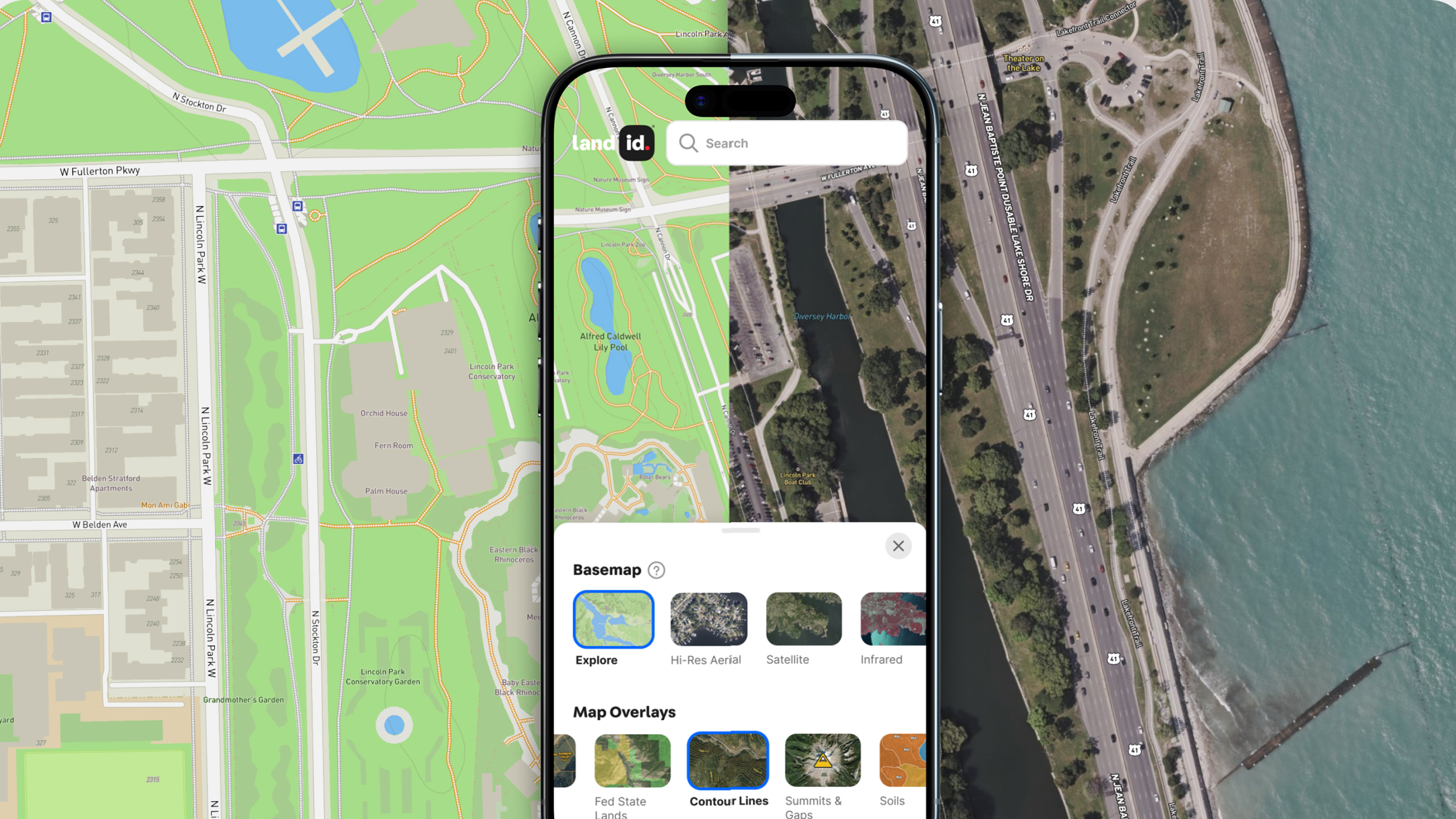
If you’re looking for breathtaking ocean views, Zealandia may be the perfect destination. Unfortunately, since most of it is underwater, we hope you know how to swim. On the other hand, there are plenty of properties already available on dry land. If your real estate business could also benefit from GIS technology to share and market these properties, you’re in luck. Land id® (formerly MapRight) makes GIS mapping easy and rewarding for everyone from the novice to the expert. Sign up for a free 7-day trial and start making your first map in minutes.
FAQs

Continue Reading


