


Are you considering buying or developing land? Are you a property owner looking to settle a land dispute? If so, you're probably looking at investing in a survey plan. For real estate investors, land developers, and property owners alike, having a land survey is essential since, without them, we wouldn't know where one piece of land ends, and another begins.
What is a Survey Plan?
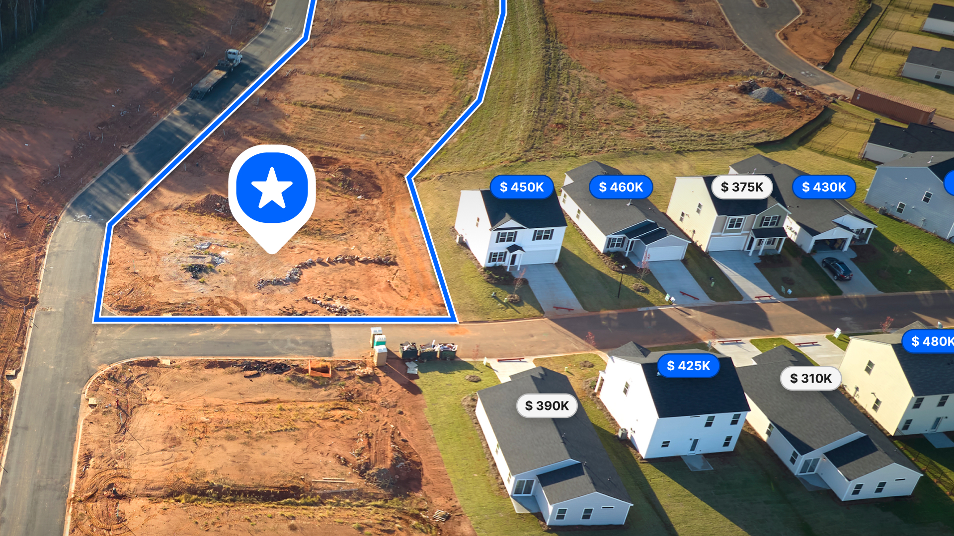
Think of a survey plan as a specialized map, one that acts as a legal document that determines and delineates the boundaries of your property. Surveys are important because they provide an up-to-date, accurate depiction of the features and boundaries of the land. Unlike a plot plan, which only has basic information and does not require a licensed surveyor, a survey plan will have detailed information about the different features of your property and their dimensions. This might include fences, trees, roads, buildings, or other structures like water wells or septic tanks, along with any natural features such as streams or lakes which may be found on your property.
Surveyors use older authoritative plans and surveys from prior property surveys, along with information on adjoining plots, to determine the property boundaries. Today, sophisticated technologies such as LiDAR mapping or drone-provided aerial orthophotography also play a larger role in producing more detailed maps, providing precise data on topography and other crucial details. The survey plan is the final result when a land survey has been completed, and it is essential for anyone looking to buy, sell, or develop the land.
Types of Survey Plans
Surveys are used for all sorts of things, from ensuring that your house or business property lines are accurate, to measuring the mineral rights under your property. If you're planning on buying a new home or structure on your current property, then you'll need to find out how much land is available for development. Surveys can also be used to determine whether or not an area is safe for building or if there are any environmental hazards or restrictions in the area.
Even though all surveys aim to provide you with detailed information about a piece of property, the type of survey plan you need will depend on what kind of project you're doing and what information you need to get out of it.
Boundary Survey
A boundary survey is often conducted before the sale of a property or before construction begins on a piece of land. It shows the location of all corners and easements crossing your property. This type of survey aims to provide an accurate picture of what you're getting into when buying or selling property. If there are any encroachments on the property that were not previously known, they will be detected during this type of survey.
American Land Title Association Survey
An American Land Title Association survey, also known as an ALTA survey or a mortgage survey, is a type of land survey performed to provide a title company or lender with the information they need before issuing a title insurance policy. ALTA surveys are one of the most comprehensive surveys conducted. They typically include an inventory of all improvements, including buildings, pools, fences, other structures, boundary lines between adjoining lots, and property lines within the property's boundaries.
Location Survey
If you need a zoning permit, you may need a location survey. A location survey is similar to a boundary survey but includes any improvements to the site. This includes measurements of the size, location, and distance between the improvements and the property lines. It can also include the materials used in constructing these improvements.
Subdivision Survey
A subdivision survey is a type of land survey used to divide a parcel of land into smaller tracts, lots, or estates and to design streets and drainage systems on newly-constructed subdivisions and existing developments. They may include topographic maps showing hillside elevations, property boundary lines, building setbacks from roadways, sidewalks, utility easements, easements for drainage ditches or private roads, and other features essential to development plans. Subdivision survey plans must also be filed with the recorder's office in the land records.
Site-planning Survey
A site planning survey is often a requirement before permits are issued because it shows what can be planned or developed before construction begins. As part of a site survey, boundary and topographic surveys are analyzed to facilitate the design of new projects such as building lots, subdivisions, commercial and industrial sites, playgrounds, and streets and highways.
Topographic Survey
A topographic survey describes elevation, providing an outline of terrain features such as an outline of terrain features, such as streams and hills, and any man-made features, such as buildings and streets. These surveys, often used by architects or engineers for the planning of site improvements, are not limited to property boundaries.
Construction Survey
A construction survey involves the surveyor going to the property and staking out the structures located on the property, such as roads, buildings, and utilities. When building a new home, building an addition to your current home, or improving your property, it is a must to have a construction survey done. Construction personnel will use these stakes to know where to begin construction.
How to Prepare for a Survey
As a land owner or developer, you can provide a surveyor with a lot of information beforehand that will help them conduct a better survey.
To start, you'll need documents and files that show past surveys, the history of your land, and any boundary disputes with neighboring properties. You should also make them aware of any relevant zoning laws and building codes you think may be applicable to you. If there are any exceptional circumstances or conditions on your property—such as historic buildings or archaeological sites—your surveyor will want to know about them before starting work on your job so they can plan accordingly.
Before your surveyor starts on your job, you can get everything together to make their research process faster and easier. This way, they can spend more time in the field surveying rather than pouring over paperwork for hours on end!
It is also best to always have an open channel of communication with your surveyor. Let them know about anything of note on your land and anything in particular that you want them to evaluate, like if there are other buildings or structures nearby. The right land surveyor will want to tailor their services to your needs, and you can help them do that by telling them what your needs are.
Make Land id® Your Property's Single Source of Truth
While a Land id® (formerly MapRight) map can't replace a land survey, it can make the process a whole lot easier for everyone by communicating essential information about the land. We collect all relevant information on the property, such as the original deed or development plans, and organize it in one location, making it available for anyone who needs it.
Land id's georeference tool allows you to overlay old surveys, plots, or proposed site plans with data such as soil composition, topography, wells and floodplains, or custom geographic databases. With numerous helpful features, including the ability to embed videos and images, create custom labels and icons, and utilize advanced sharing capabilities, Land id® is an incredible tool for both landowners and surveyors.
Sign up for a free trial of Land id® today, and experience the most accurate surveying process yet.
FAQs
Continue Reading
How to Price Land for Sale Using Comparable Sales Data
By Land id
Learn how to price land using comparable sales. Find, analyze, and adjust vacant land comps to price listings accurately and sell with confidence.
Craig Rowe
Can Refurbishing Schools Help Solve Housing Issues?
.png)
By Land id
Old public schools are becoming apartments as enrollment drops. See why school-to-apartment conversion is adaptive reuse's fastest-growing niche.


Explore Private Parcel Data & Property Boundaries
Download the Land id app and try for free.
