In the real estate business, selling farmland is a unique animal. The different unique elements that come with selling agricultural land mean that even more than in the traditional real estate market, it’s imperative to find the right buyer and the right price. It’s a complex goal, which begs the question: What’s the best way to sell farmland?
The two main avenues for selling farmland properties are auction sales and brokerage sales. Most folks are pretty familiar with brokerage sales, since they’re how most real estate transactions occur; you market the property, find someone interested in buying, and facilitate the sale.
Land auctions, on the other hand, are a little bit different – and, when it comes to selling farmland, they may actually be your best bet. Land id® (formerly MapRight) has previously explained how a versatile geographic information system, or GIS mapping, can be a vital aid in the typical real estate sales process. But when you’re looking for the best way to sell farmland, how will this technology benefit you at auction?
Auctions: The Best Way to Sell Farmland
If you’re seeking the best way to sell farmland, why might you want to pick the auction option over brokerage sales? While auctioning might seem like a sign of desperation in some industries, auction sales are a standard, tried-and-true method of selling farmland. Because they allow you to reach a wide pool of buyers at once, you can obtain the best possible price.
Auctions are an exclusive event for prospective buyers in the farming community, which means that attendees will show up with their wallets ready to play ball. Lowball offers are eliminated quickly, as buyers will show up prepared to purchase land at market value prices, or even prices that might exceed market value. Plus, selling land in an auction setting creates a sense of urgency for interested parties, while creating maximum exposure for the property on the docket.
The auction setting is also a huge convenience for the seller, putting most of the power in their hands. After all, selling farmland at auction lets you set a specific date and time for the sale of your property, and gives the option of setting terms and conditions on the sale, including a reserve price and minimum bid on the land before the auction commences.
While brokerage sales tend to give you more control over the final price of your farmland, with the ability to spend more time negotiating over the purchase price, there is no real rush for buyers to put in a good offer. By comparison, auctions set the sale at a specific date, creating a sense of urgency for buyers to put in a good offer as soon as possible. If a seller can’t afford to wait or is simply uninterested in leaving farmland sitting on the market for months, then an auction will be preferable over a brokerage sale.
How can Land id® Help?
Once you’ve decided that the best way to sell farmland is at auction, how can Land id®’s GIS technology ensure that the marketing for your listing is the best it can be?
Preparing a Comprehensive View of a Property
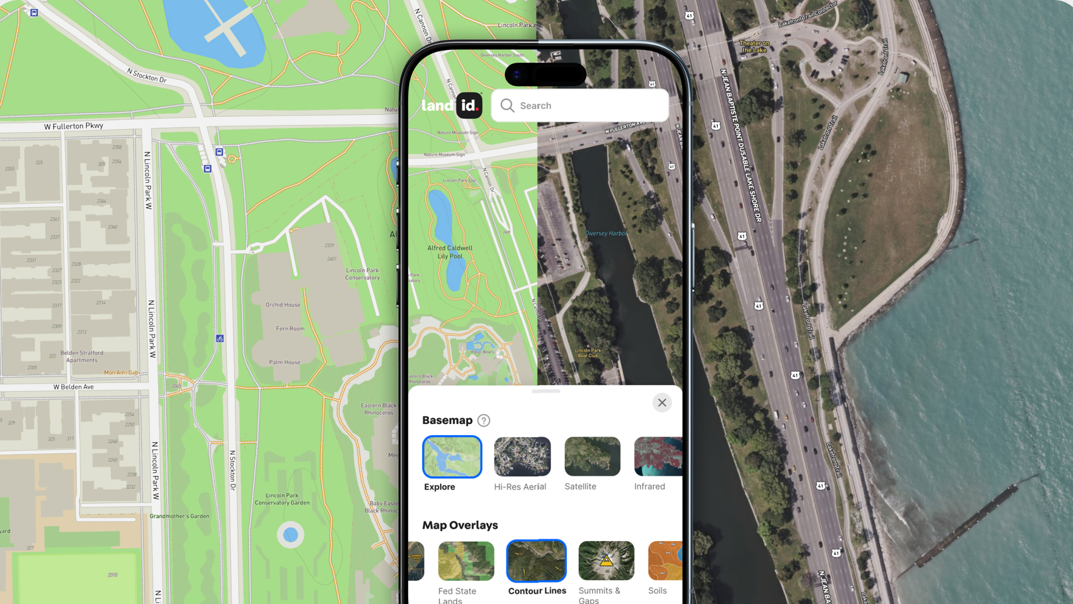
When preparing farmland for auction, one of the best ways to garner buzz is to create a dynamic map that will illustrate a property’s unique attributes. On Land id®, utilize over three dozen layers and overlays to showcase different features such as topography, water features, and soil surveys and provide a more comprehensive view of everything a piece of land has to offer. Add labels and icons to help viewers get the lay of the land and point out important property landmarks, such as structures, existing trails and roads, wells, and more. The ability to embed images and videos into specific points on the map will also further give context to key aspects of the land, providing another way to get an idea for the look and feel of the property without having to visit it.
Marketing a Listing
Once you’ve created an interactive map of the property, you can share it on your website, on listing sites, and in email campaigns to a curated list of contacts. For your offline marketing efforts, Land id® will even help you create mail marketing campaigns. Looking to market to landowners in a specific area? No problem. Simply create your area of interest by choosing one of three options: all properties along a line, such as a road; all properties inside of a polygon; or all properties within a radius of a point, such as a property. Then, you’ll be able to create a mailing list with the exact landowner characteristics you need.
Land id® doesn’t just help you create a mailing list—we’ll take care of your direct mail campaign, too. Our virtual postcard store gives you the option of designing and uploading a postcard to help you market the property for sale. You can even use the property map you already created. When it comes time to enter the addresses of your recipients, simply upload the CSV you created in Land id®. And don’t worry about printing and shipping. Land id® has it covered!
Using Comparable Sales Data
Ahead of any land auction, you have some important decisions to make regarding pricing, and having a detailed, proprietary comparable sales database will help you find all the information you need. With Land id®’s custom database builder, you’ll be able to track and manage key data points for every property you include in your dataset. Track everything from selling details for various properties, such as year sold, how they were sold, the sales price compared to market value, to unique attributes, such as acreage, crop yield, and existing infrastructure. Regardless of the data that is most important to you, Land id®’s database builder will give you the ability to spatially visualize it.
Land id® is Always Here to Help
While brokerage sales certainly have their perks, when you’re seeking the best way to sell farmland quickly in a competitive market, auctions might be your ideal choice. And speaking of ideal choices, look no further than Land id®’s customizable, easy-to-use GIS technology to help you create interactive, highly detailed maps you can share with anyone.
Land id® was designed with real estate in mind. In addition to harnessing real estate GIS data to create mailing lists, agents can also use Land id® to make their listings stand out from the competition. Whether you need to showcase aerial photography, call out unique features of a property, or illustrate the various qualities of farmland, Land id® is packed with all the powerful features you need.
Sign up for a free 7-day trial of Land id® today and start building beautiful, interactive maps immediately.
FAQs

Continue Reading


