Google Earth Pro will stop downloads after June 25, 2027. If your property workflows rely on that desktop app, the clock is ticking. Here's what to use instead, and how to move your projects without losing a thing.
What You Need to Know
- Google will stop offering Google Earth Pro as a free desktop download after June 25, 2027, ending updates, bug fixes, and security patches. Users relying on it for mapping and spatial data should start planning a transition now.
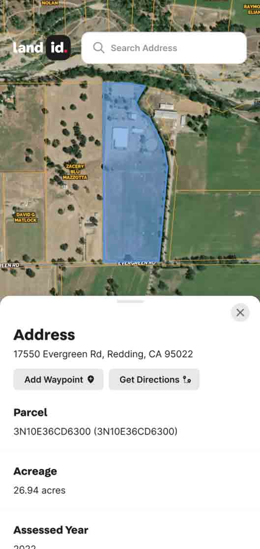
- For U.S.-focused land and property work, Land id is a practical Google Earth Pro alternative, combining parcel data, interactive map creation, and sharing in a single web and mobile platform.
- Land id can open KML files from Google Earth, re-create common workflows, and add property–specific data like parcel ownership, soils, and flood zones.
- Other GIS tools still matter for global satellite imagery and GIS analysis, but carry a learning curve and enterprise cost.
What Is Happening With Google Earth Pro?
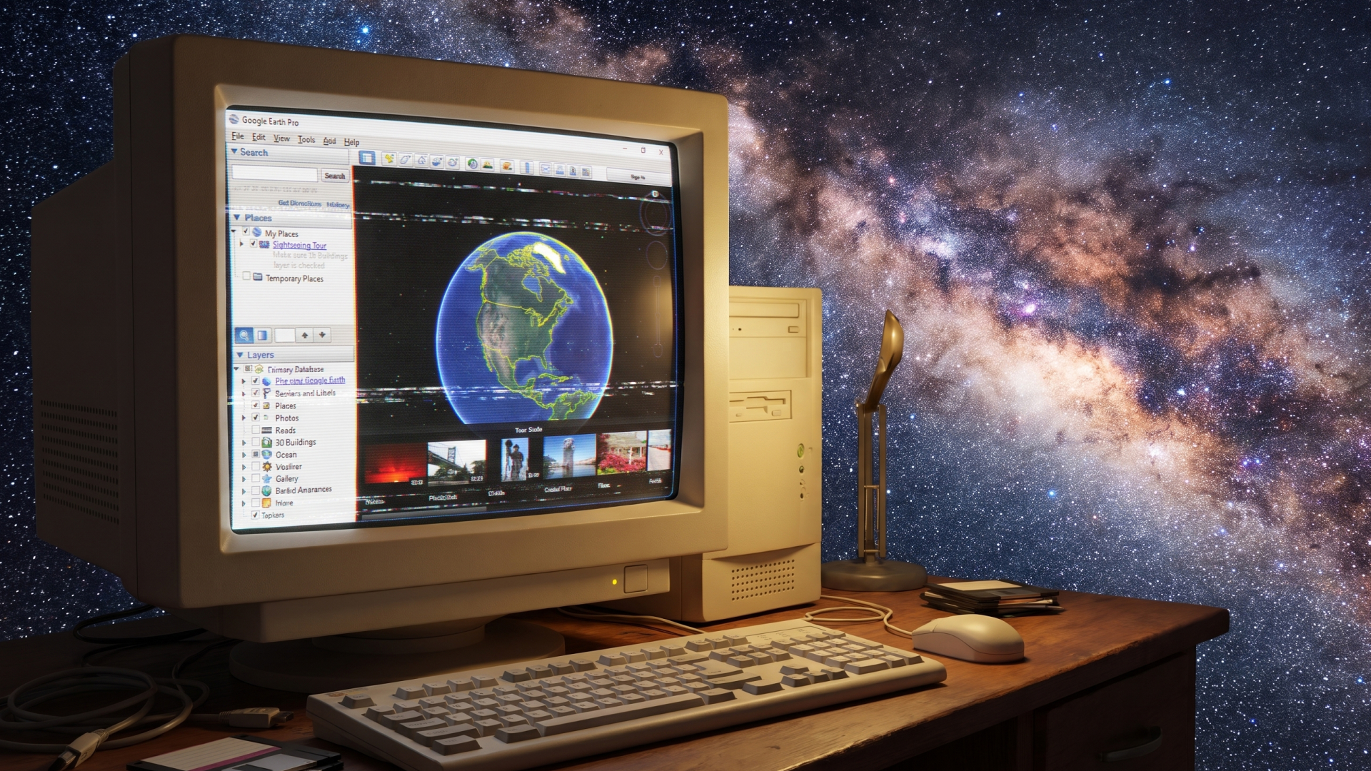
Google Earth uses satellite imagery for virtual exploration of our planet, letting anyone fly over terrain, view historical imagery, and measure distances. Google Earth Pro is the desktop version for Windows, macOS, and Linux that added professional features such as importing KML files, drawing boundaries, measuring acreage, viewing historical satellite imagery, and exporting high-resolution map images.
On July 8, 2026, Google announced that Google Earth Pro for desktop will no longer be available for download after June 25, 2027. After that date, it will stop receiving updates, bug fixes, or security patches.
This matters because desktop-centric workflows such as local KML and KMZ projects, offline analysis tools, and saved imagery archives face real risk on an unsupported app. For U.S. property and land mapping professionals, a specialized Google Earth Pro alternative is critical to avoiding lost work and workflow interruptions.
What Do Land & Property Professionals Lose Without Google Earth Pro?
Most land and property users lean on Earth Pro for four jobs:
- Measuring. Tracing a pasture, a frontage line, or a fence run to get acres, feet, or miles.
- Marking up. Dropping placemarks and drawing polygons to show a client where the tract starts and stops.
- Saving and sharing files. Keeping placemarks as KML/KMZ and passing them to surveyors, contractors, or co-owners.
- Working locally. Opening a desktop app with files on your own machine, without a login or a browser tab.
A fifth job never worked in Earth Pro at all: finding out who owns the land and where the legal boundary runs. Since Google removed U.S. parcel data in 2016, that critical step has meant opening a second tool. A replacement is worth choosing partly because it can handle all five jobs in one map.
Land id as a Google Earth Pro Alternative for Land & Property Professionals
Land id is built specifically for property pros who need nationwide parcel data, property research, custom GIS mapping capabilities, and shareable maps and property tours.
Where the free Google Earth app offers a general-purpose world view, Land id focuses on U.S. properties, with 150 million parcel boundaries with ownership info, assessed values, and legal descriptions, plus more than 50 GIS overlays and basemaps—insights that matter when you're exploring a lot for purchase or listing a ranch for sale.
Key Advantages of Land id Over Google Earth Pro
- Parcel-level data and accuracy instead of just imagery, including boundaries, owners, and acreage.
- 50+ GIS map overlays and 7 basemaps: soils, FEMA floodplains, wetlands, topography, high-res aerials, grazing, points of interest, infrastructure layers, and more.
- Branding, sharing, and embedding maps and virtual tours for listings, reports, and communication with teams.
- Exports for print maps.
- Offline mobile access, CarPlay, real-time location in relation to property boundaries, and driving directions for mobile research and fieldwork.
Land id functions as an operational mapping tool, not just a globe. Users can annotate parcels, attach photos and videos, add notes, organize properties into projects, and keep spatial data updated over time.
How Land id Replaces Common Google Earth Pro Tasks
Worried about losing familiar workflows? Here's how common Google Earth Pro tasks map directly to Land id features.
Not all features are available on all plans. Check our pricing page for a feature comparison list.
Feature Comparison: What Land id Offers That Google Earth Pro Does Not
In addition to replacing many common Google Earth Pro features and workflows, Land id offers features that Google Earth Pro users don't currently get.
Moving from Google Earth Pro to Land id, Step by Step
You don't need to start from scratch or abandon years of Google Earth Pro work. Here's how to bring key projects into Land id:
- Export from Google Earth Pro. Open the Google Earth Pro desktop app, organize your saved placemarks, paths, and polygons into folders by project. Save each folder via "Save Place As…" in KML format. For KMZ files, unzip them to extract the KML. You can also download shapefiles and KMLs for backup.
- Import into Land id. Log in to the Land id web app, create or open a project, and upload your KML. Check that markers, boundary lines, and labels display correctly on top of Land id's satellite imagery and parcel basemaps.
- Clean and enrich. Snap drawn boundaries to official parcel lines, add ownership notes, and attach photos or deed documents.
- Re-create views and tours. Build a share-ready interactive map focused on a specific property or corridor, then send it via a secure link—far more flexible than sending KMZ files.
- Turn on GIS layers and enhancements. Switch basemap views, enable soil, flood, infrastructure, or any of Land id's dozens of GIS overlays. Use the offline mobile app for field verification of what used to be purely desktop work.
Other Google Earth Pro Alternatives & When to Use Them
No single platform replaces every aspect of Google Earth Pro. Some users need different tools alongside Land id for global coverage, weather monitoring, open-source flexibility, or heavy GIS analysis.
Start the Transition from Google Earth Pro to Land id
Replatforming isn't always easy, and we want you to find the right mapping platform for your needs. In Land id, you'll need at least a Premium subscription to create custom maps. Schedule a free demo or sign up for a risk-free, 7-day trial of Land id.
You can also:
- Explore our Learning Land id page, chock-full of helpful onboarding resources.
- Check out our YouTube channel for quick tips and tutorials.
- Browse our Help Center to get a feel for Land id's features and capabilities.
- Compare Land id plans and pricing.