

Dallas, TX — July 15, 2021 — Land id® (formerly MapRight) is thrilled to announce the release of two new layers, Transmission Lines and Substations. With the addition of these new features, users can now easily view critical data on the major transmission lines and substations across the nation, and even identify the substations closest to them.
“Substations and transmission lines are integral to the delivery of safe, reliable electricity, but locating this infrastructure is difficult without the right resources,” Managing Partner at Land id®, Steve Roberson stated. “The information these new features can provide will be invaluable for our subscribers, especially for those working in renewable energy.”
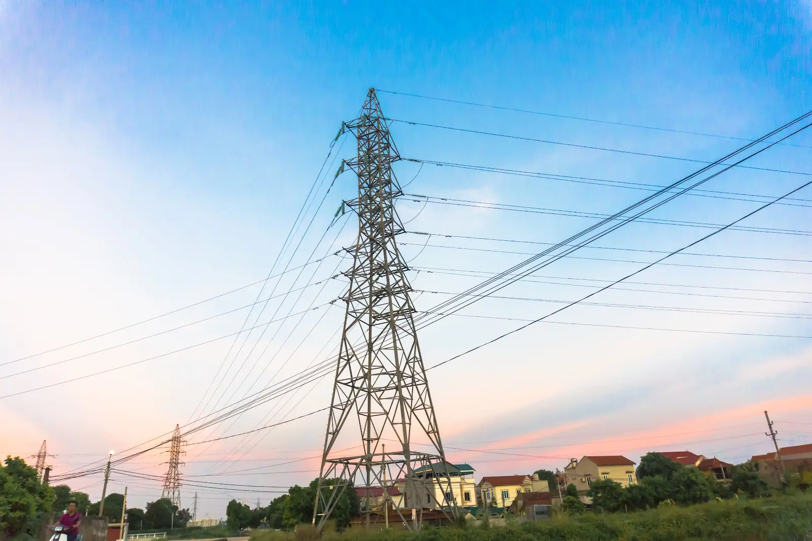
Transmission lines are responsible for transporting electricity from generators to high-demand areas. With the new Transmission Lines Layer, subscribers won’t just be able to see the locations of transmission lines throughout the U.S., they’ll also gain specific details about those transmission lines, such as the name, the owner, the voltage, and the status.
Substations, on the other hand, are responsible for lowering the voltage of that electricity, transforming it into a form we can use. With the addition of the Substations Layer, users can find the name, owner, status, and the minimum and maximum voltage of any substation they choose.
The data powering these layers comes from the US Energy Altas, a comprehensive reference for data and interactive maps of energy infrastructure and resources produced by the US Energy Information Administration.
The Transmission Lines and Substations Layers are now conveniently available in the Land id® web and mobile application. Sign in to your Land id® app to give it a try!
About Land id®
Building on several decades of education and experience working with GIS, Land id® was founded in 2014 to help companies and individuals gain a better understanding of properties and land features and be able to more intuitively communicate them with others. Land id® offers nine different GIS base layers and nearly two dozen Land id® layers, countless styling and customization options, and several easy ways to share your maps. A 7-day free trial helps users get started on the web app and companion mobile app.
FAQs
Continue Reading
Alyssa Toohey
Off the Map & In Person: The Land id Team Gets Together

By Land id
The Land id team came together in Montana for collaboration, connection, Big Sky views, PBR, Yellowstone, and plenty of memorable moments.

How Land id Works for Residential Agents
By Land id
Learn how Land id helps residential real estate agents visualize location, uncover property context, and market listings with greater impact.


Explore Private Parcel Data & Property Boundaries
Download the Land id app and try for free.
