Latest
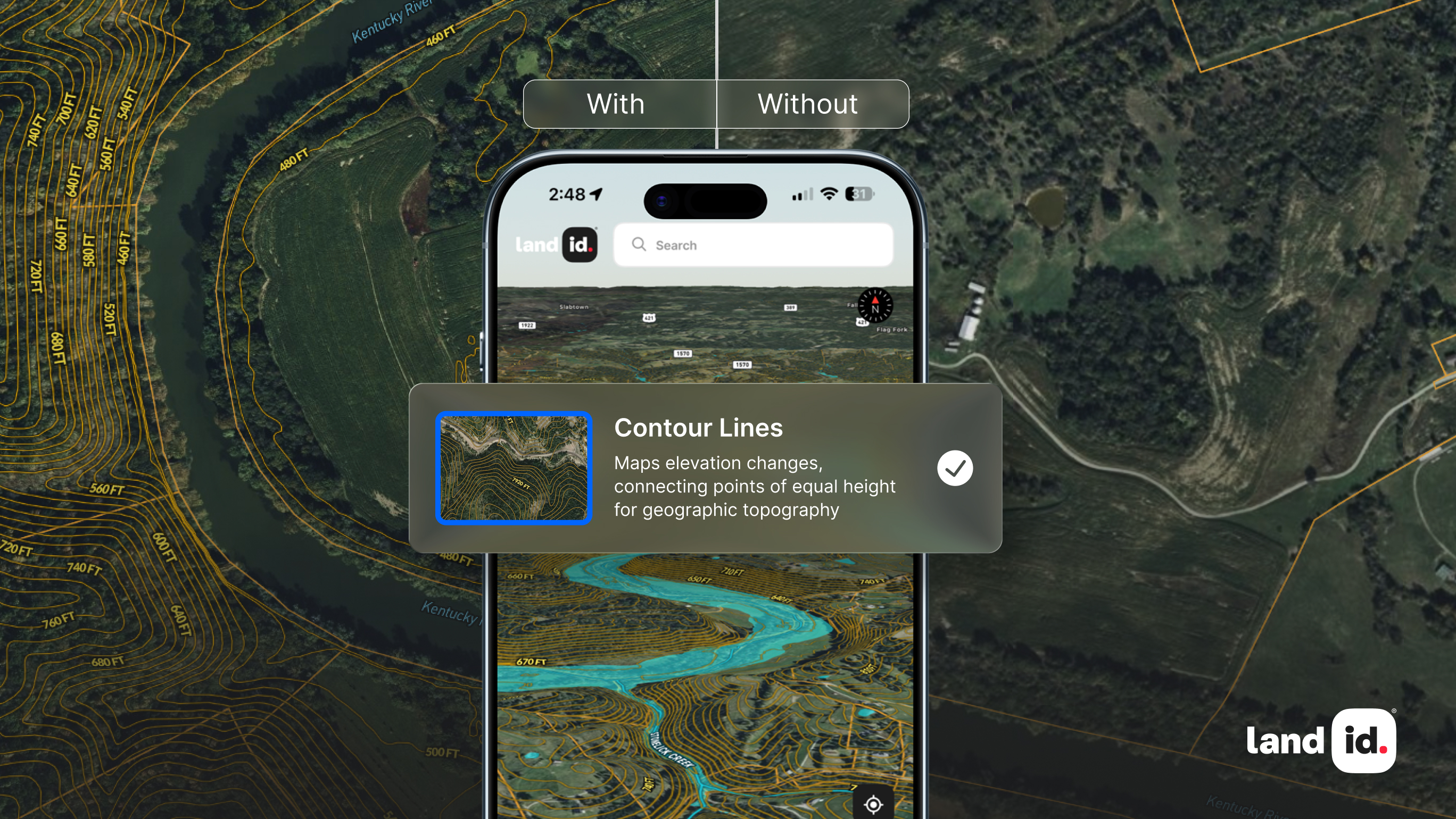
What Are Contour Lines? Using Elevation to Understand Property Potential
By
By Land id
Learn how contour lines reveal hills, valleys, and slopes, turning elevation data into insights you can see and use in your property decisions.
The Many Uses Of GIS In Engineering
By
By Land id
Engineering requires various tools and technologies, and those tools and technologies are constantly evolving. One of the biggest advancements? GIS. The use of GIS in engineering, though relatively new, has the potential to revolutionize the industry. When you can visualize location-based data in an interactive map, insights become apparent, and analysis is made far easier. As an engineer, the opportunities this technology provides are endless.
Another Housing Bubble Might Be Coming, But It’ll Be Nothing Like 2008
By
By Land id
The demand for housing in the US continues to outpace supply. In fact, according to Zillow, housing inventory won't reach pre-pandemic levels again until 2024 at the earliest. That means bidding wars will likely remain the name of the game, and prices will continue to rise. Over the past two years, year-over-year home values have risen a total of 32%—between January 2021 and January 2022 alone, annual growth accelerated by 19.2%. Interestingly, that’s well above the peak annual rate of 14.5% posted in the lead-up to the 2008 housing bubble, which raises a critical question: are we in the middle of a housing bubble?
Building On Assets With Community Mapping
By
By Land id
Community mapping (also referred to as asset mapping) is the process of creating a geographic representation of a community’s characteristics, specifically, its assets: the people, organizations, places, and institutions that can create real and impactful change. The idea is that each of these assets has the potential to make a positive difference in the community, but they need each other’s help to do so.
5 Ways to Prepare Your Land For The Growing Season
By
By Land id
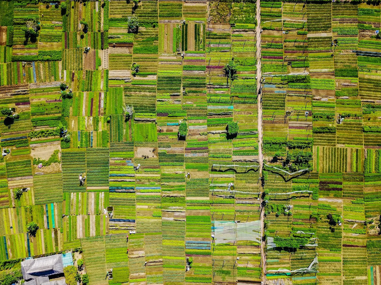
For all the farmers, gardeners, and growers out there, the growing season is fast approaching. Before we can start planting though, there’s a lot that needs to be done to get the earth ready. In the spirit of spring, we wanted to share a few of the myriad of ways you can prepare your land for a successful growing season.
The Evolution And Application Of GIS In Surveying
By
By Land id
The earliest known land surveyors walked the Earth all the way back in 1,400 B.C., and while much about surveying has stayed the same, the tools and methodologies they used have changed a great deal since then. One of the biggest advancements? GIS.
The Importance Of GIS For The Environment
By
By Land id
The importance of GIS is well understood; it allows us to look at a location holistically, see patterns and trends we otherwise couldn’t, and make decisions based on the most comprehensive data available.
No results
Sorry, we don't have any articles that match your search. Try resetting your filters.


