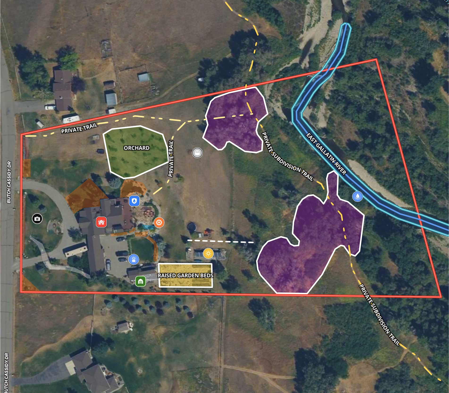
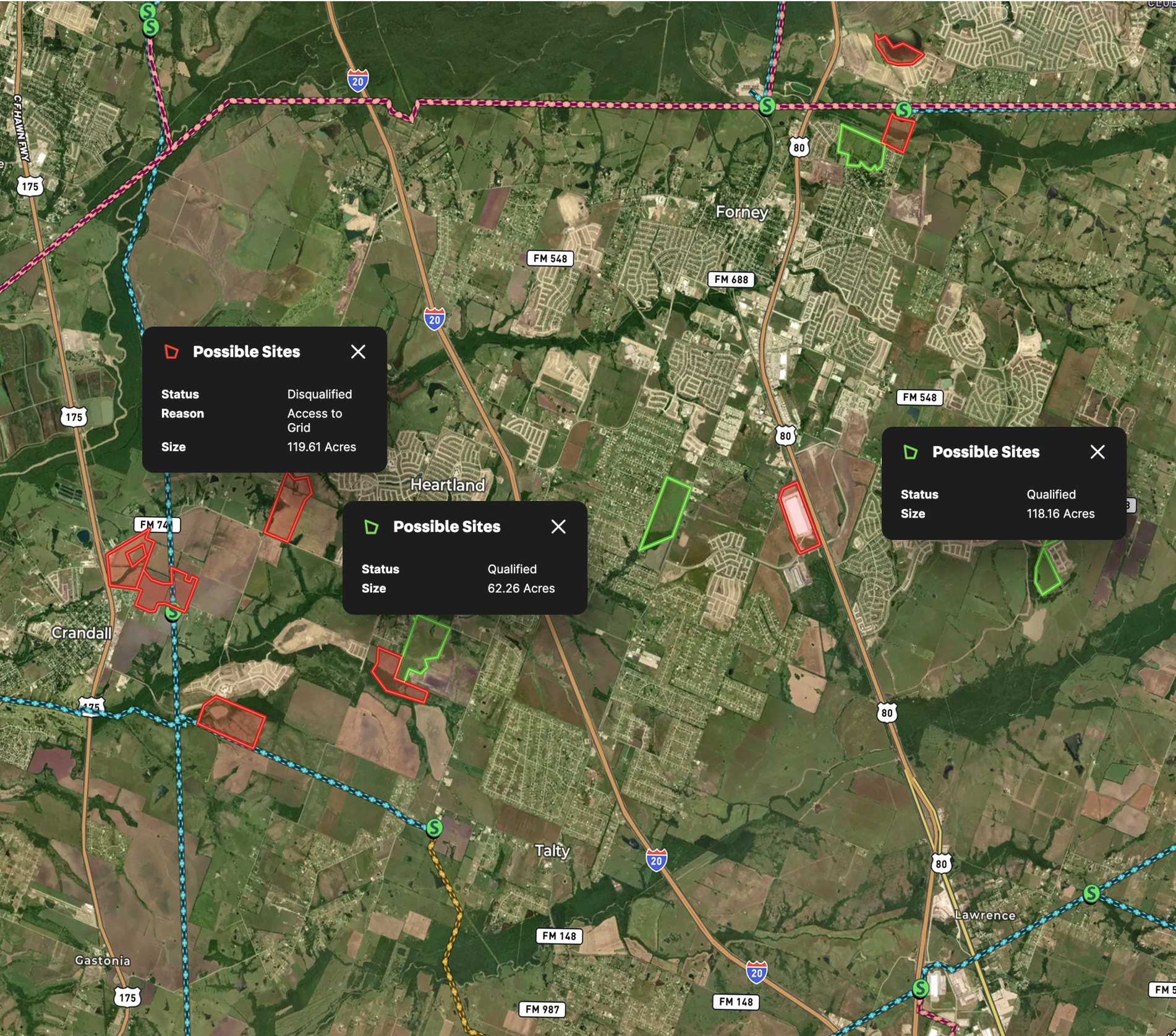
This Frontier Farm map started as the typical 20-page property appraisal report filled with pictures, descriptions, and five pages of static maps.
The appraiser asked the Land id® team to create a detailed map to support their appraisal. Before long, we built one interactive map that illustrates all of the information in the property appraisal report, including photo site locations, buildings, and the fields with their sizes, crops, and infrastructure.
Learn How to Create a Map Like This:
- How to make maps in Land id
- How to embed photos, videos, 360° walkthroughs, and more onto your map
- Manage and visualize data with attributes
- How to add videos and documents to Land id shared maps


Make your first map in 3 min.
Try for freeKeep Exploring
Take Your Mapping to the Next Level
Mapping is just the beginning. Land id is the #1 tool for researching, discovering, and showcasing land, and we're here to help you make the most of it, every step of the way.


