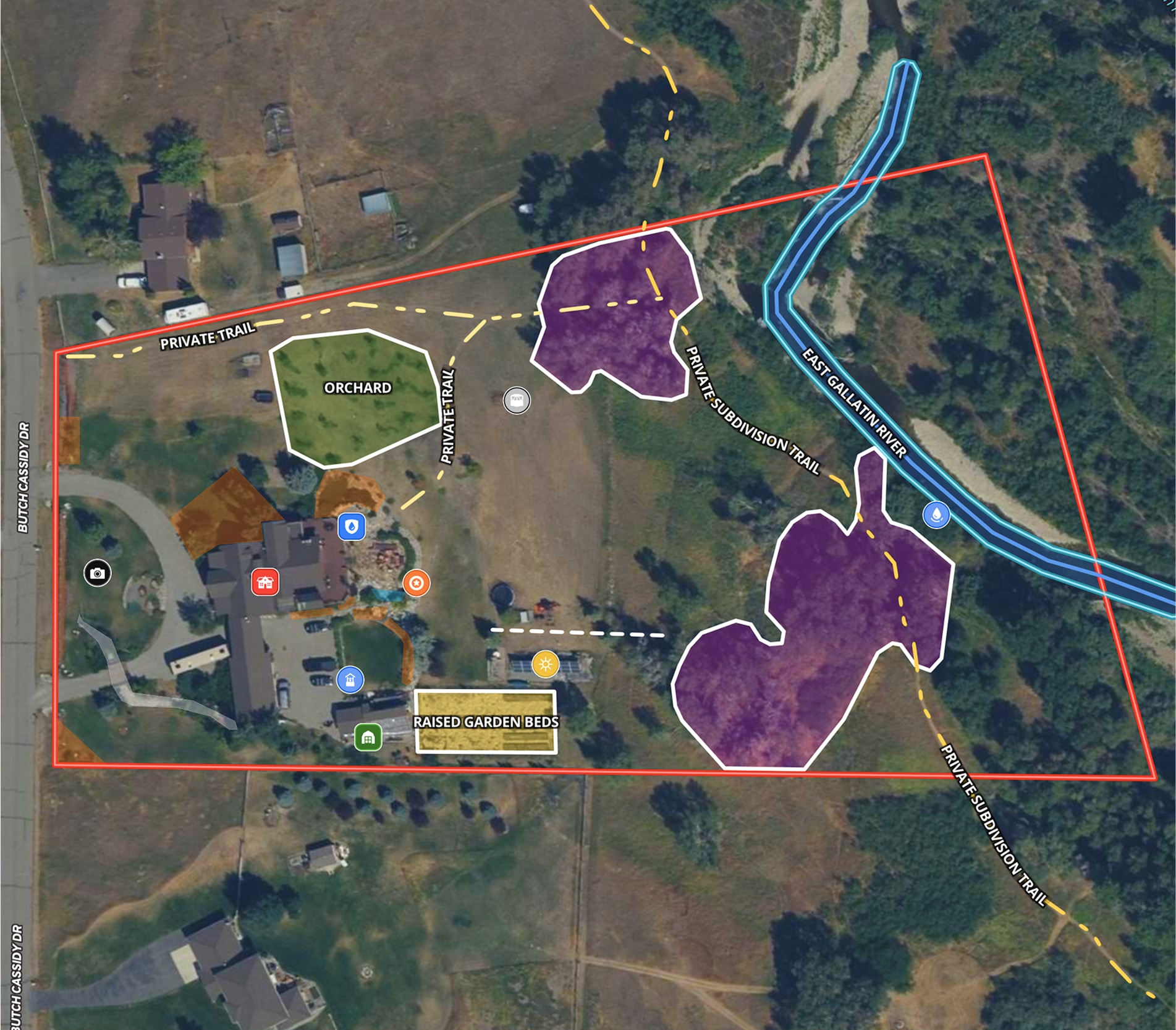
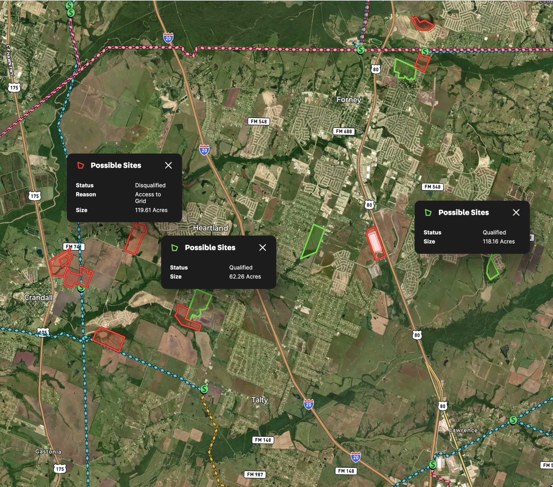
When public projects like roads or utility expansions require private land, detailed maps aren't just helpful—they're critical to ensuring a fair, transparent, and legally sound process. Land id® makes it easy for government officials and property owners to visualize and understand this critical information, ensuring clarity and transparency throughout the process.
To demonstrate the public need for the land, the government must create maps showing property ownership, current land use, the proposed project, and the portion of land subject to acquisition. These maps also highlight how the project connects to existing or planned infrastructure. With Land id, all this information can be easily visualized, ensuring clarity.
Before the project can proceed, the government and land owner must agree on the property's value. Eminent domain attorneys and appraisers on both sides use Land id® to assess how a project will impact a property and to negotiate its value. With Land id, they can quickly access critical information, making the negotiation process smoother and more informed.
In summary, eminent domain attorneys and appraisers rely on Land id to visualize and assess project impacts and negotiate fair property values.
Learn How to Create a Map Like This:
- How to make maps in Land id
- Create and edit boundaries
- Create a buffer zone
- Add labels to maps and mapped features


Keep Exploring
Take Your Mapping to the Next Level
Mapping is just the beginning. Land id is the #1 tool for researching, discovering, and showcasing land, and we're here to help you make the most of it, every step of the way.


