Siting a solar farm involves far more than finding open land. Before a single panel goes in the ground, developers need to evaluate substation capacity, quantify usable acreage, navigate floodplain and wetland restrictions, confirm setback requirements, and track the status of negotiations with neighboring homeowners—all while keeping consultants, investors, and landowners on the same page.
This Land id example map follows a solar farm project through each step of the greenfield process, from site selection to permitting.
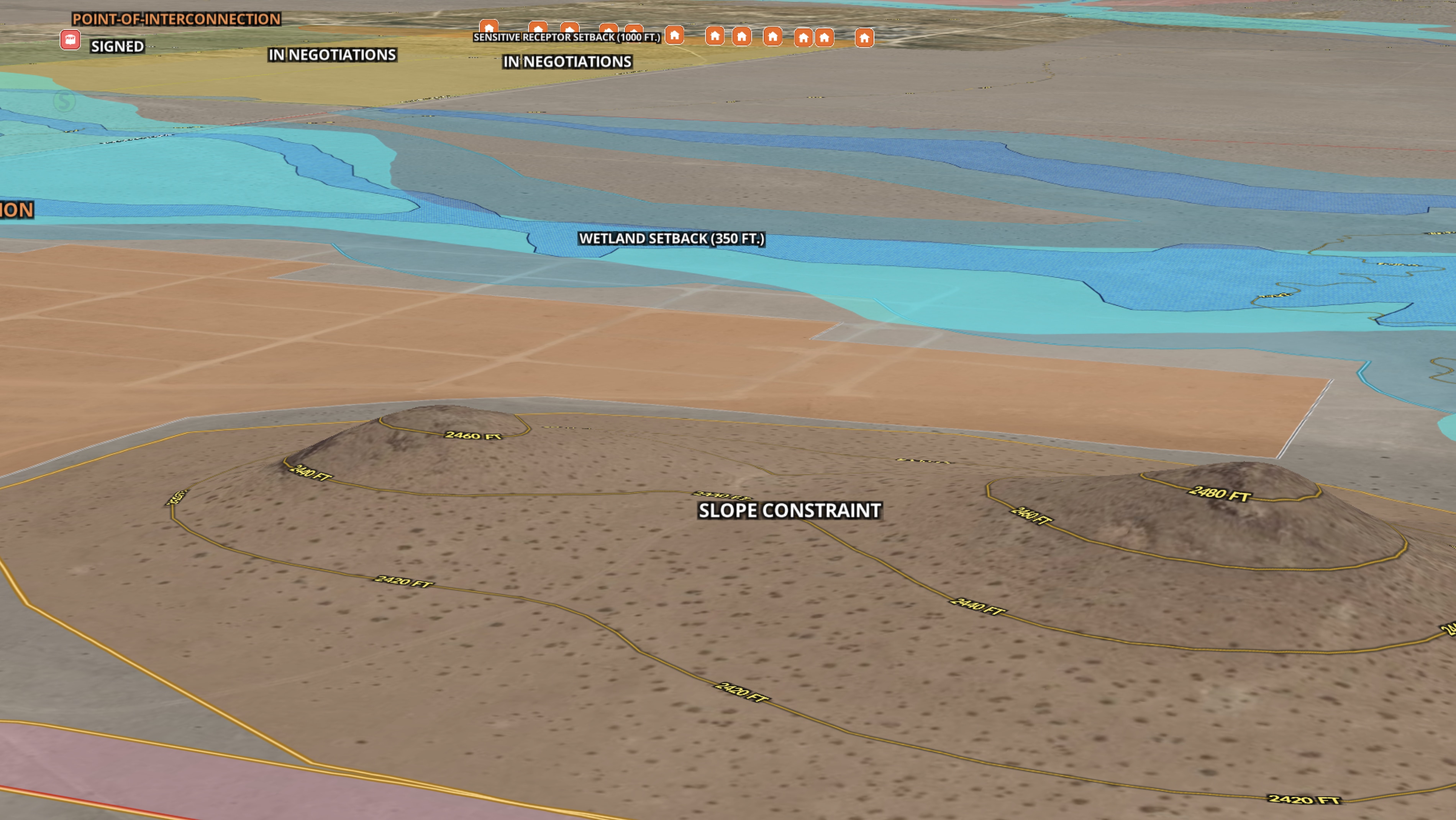
- The map starts by identifying a substation with available capacity and determining the acreage needed for the proposed array.
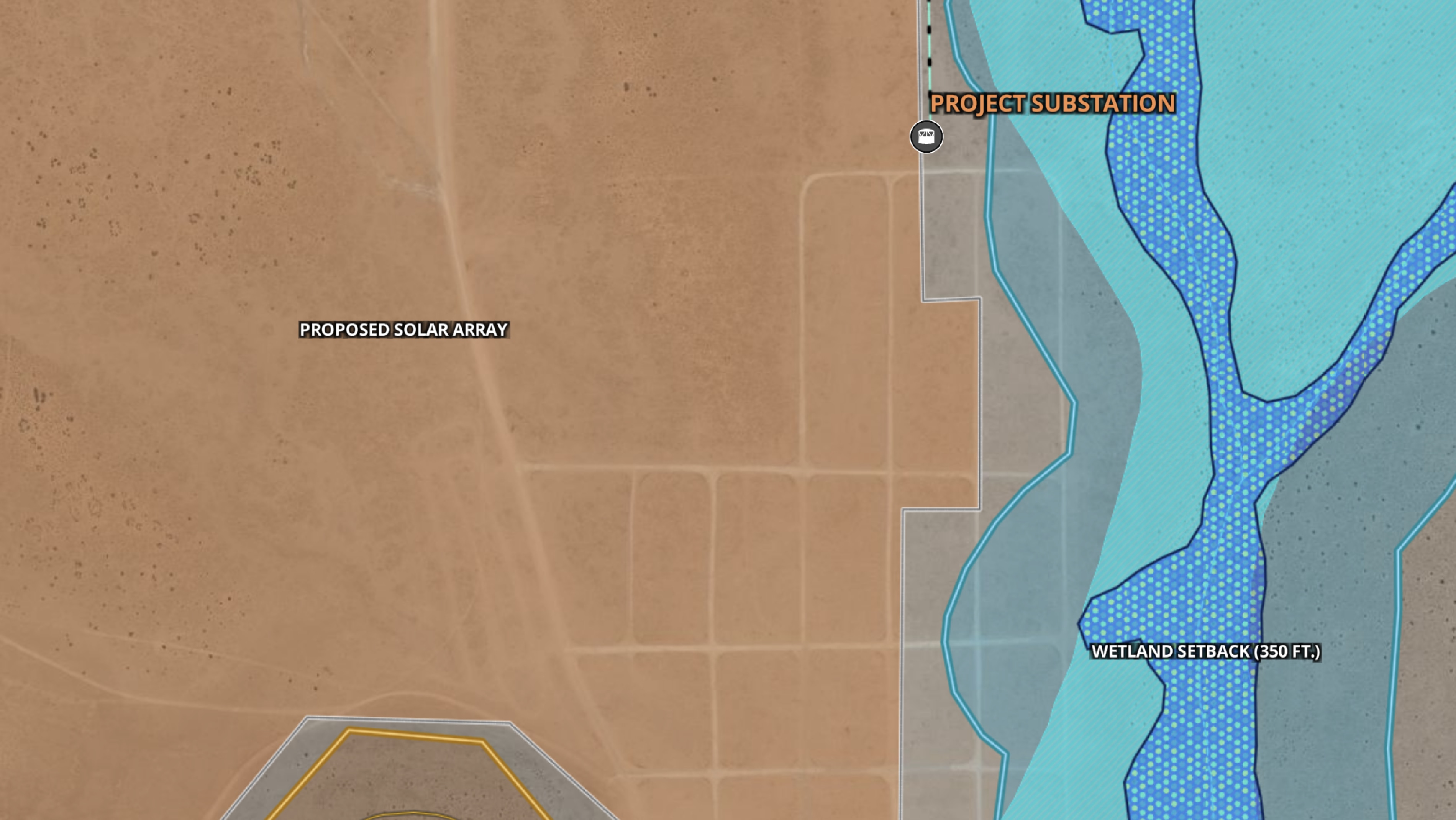
- From there, Land id's Wetlands overlay flags regulated areas that reduce buildable land, while the Measurement tool calculates what remains once constraints are applied.
- Drawn items mark the proposed substation placement and project boundaries, optimized for grid access while minimizing wetland impact.
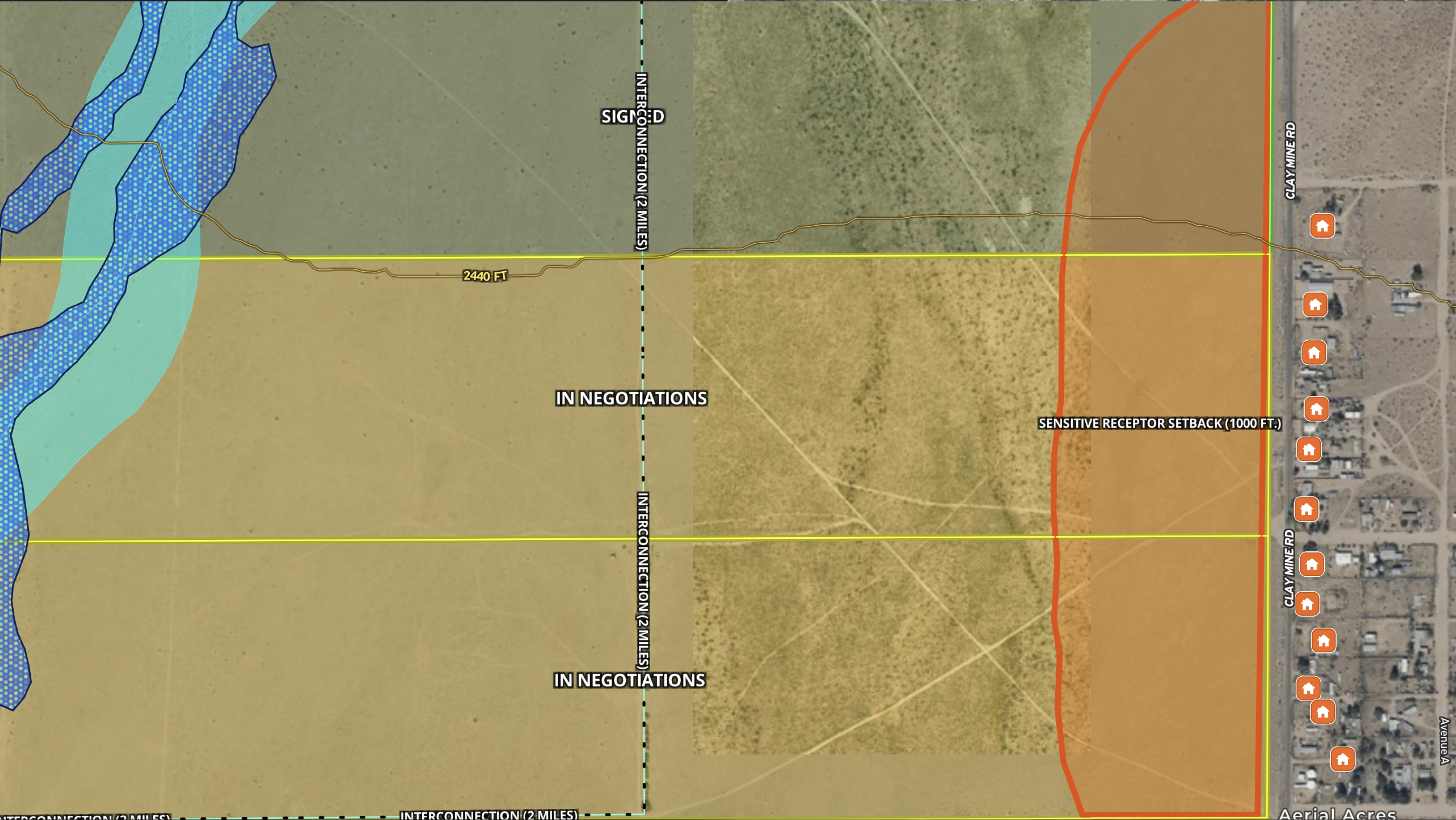
- Sensitive receptor setbacks (the required buffer zones around nearby residences) are plotted directly on the map.
- Custom labels track the sign-off status for each homeowner in the project area.
The result is a single interactive map that serves as the project's spatial record from first evaluation through permitting. Instead of managing constraints across separate spreadsheets, PDFs, and GIS files, every stakeholder works from the same up-to-date visual.
If you're evaluating renewable energy sites and need a tool that keeps your spatial analysis organized from site selection through approval, this map shows exactly how to build that workflow in Land id.
Learn How to Create a Project Like This
- Land id for energy and renewables
- Quick start: Create and share a map in Land id
- Draw detailed maps by adding items
- Wetlands overlay
- Measurement tool
- Add labels to maps and mapped items
Take Your Mapping to the Next Level
Mapping is just the beginning. Land id is the #1 tool for researching, discovering, and showcasing land, and we're here to help you make the most of it, every step of the way.