



"Location, location, location." You've said it a thousand times. Your buyers have heard it just as many.
The problem isn't that it's wrong. It's that you can say it, but you can't show it. The school district line that puts a house on the right side of the boundary. The trail that connects to 40 miles of greenway. The farmers' market three blocks away on a Saturday morning.
Your competition is pitching the same listings with the same words. The agents pulling ahead aren't preaching the mantra better than you. They're showing it, and so can you.
Stop Describing the Neighborhood. Start Showing It.
The house backs up to a trail connecting 40 miles of greenway. The farmers' market is three blocks away. The elementary school is the one everyone wants. But buyers trust what they can see, and right now you can only tell them.
Just look at this listing map, which showcases the desirable proximity of nearby schools, public spaces, and retail to the property.
Know Exactly Which Side of the Line You're On
School district boundaries can split a street down the middle. You know which side matters. Your buyer doesn't, and neither does the MLS. That conversation shouldn't require a call to the district office and a PDF that may not even be current.
Surface the Deal-Killers Before Your Buyer Does
Flood zone status. Wildfire risk. A planned highway expansion. None of these are on your mandatory checklist, and any one of them can blow up a deal the week before closing if a buyer finds it first.
Walk Into Every Listing Presentation Already Ahead
Sellers have seen the comps deck and heard the marketing plan. The agent who shows up with something visual and specific to their property wins the room before the conversation starts.
Our same listing from above, shared as a Property Tour, turns a listing map into a client-ready presentation in less than three minutes.
Turn Vague Buyer Criteria Into a Map They Can See
"Good schools. Close to nature. Not too far from the highway." Those don't translate into MLS filters. You end up with 40 listings and a buyer who's underwhelmed by all of them.
Prospect Your Farm With a Plan, Not a Hope
You know the neighborhood. But your list is generic, your timing is a guess, and you're working without a clear picture of who actually owns what.
Every one of these has the same root: you're working with property data when what you need is location data. The kind that shows what surrounds a home, not just what's inside it.
What Changes When You Have the Right Tool
Land id helps real estate professionals who need to visualize large, complex properties and their surroundings. That origin matters because the platform was designed to answer location questions from the start.
Residential agents who've found it are using it for exactly that purpose.
School district boundaries are a live overlay. FEMA flood zone designations sit right on top of any property you're looking at. Zoning data, parcel information, wildfire risk, trail networks, shopping density. All of it layers onto a map you can build, brand, share, and embed.
In the buyer consultation, you stop taking notes and start building a map. When a buyer tells you they want walkability, a specific school district, and green space nearby, you show them the intersection of all three in real time. The search gets focused. The buyer feels understood. You send five listings that actually fit.
In the listing presentation, you show up with the seller's map already built. School district boundary visible. Flood zone status on record. Nearby amenities plotted. You haven't said a word yet and you've already shown you did your homework.
In your ongoing practice, transparency compounds. When you surface flood zone data or a nearby zoning change before a buyer asks, you're building a reputation as the agent who keeps clients informed. Buyers talk. They refer agents who made them feel safe.
The Agents Who Can Show—Win!
Competing on access to listings is a shrinking advantage. Buyers can find listings on their own.
The agents pulling ahead compete on preparation and the ability to help someone see a life in a property. That requires a tool set and a mindset most of your competition isn't investing in.
The farmers' market three blocks away. The trail connecting to 40 miles of greenway. The school district line that puts this house on the right side of the boundary. These details exist in every market and they're part of every sale.
You've always known location wins. Land id is how you show it.
FAQs
See Land id In Action
Research, analyze, share, and showcase real estate, all in one place.
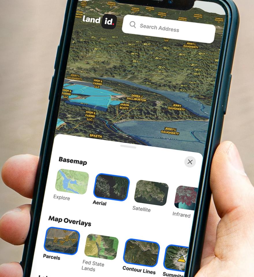
Continue Reading
Craig Rowe
How to Work With Out-Of-State Buyers: Tips for Real Estate Agents


By Land id
Agents in emerging markets will benefit from an influx of aspiring buyers. Get tips on how to make the most of these potentially lucrative leads.
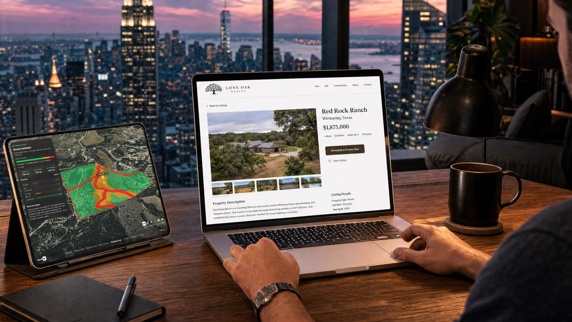
Absentee Owner Lists: What They Are, Why They Convert & How to Get Them
By Land id
Absentee owner lists are one of the most reliable ways to find off-market opportunities before your competition does. Here's how to do it in Land id.
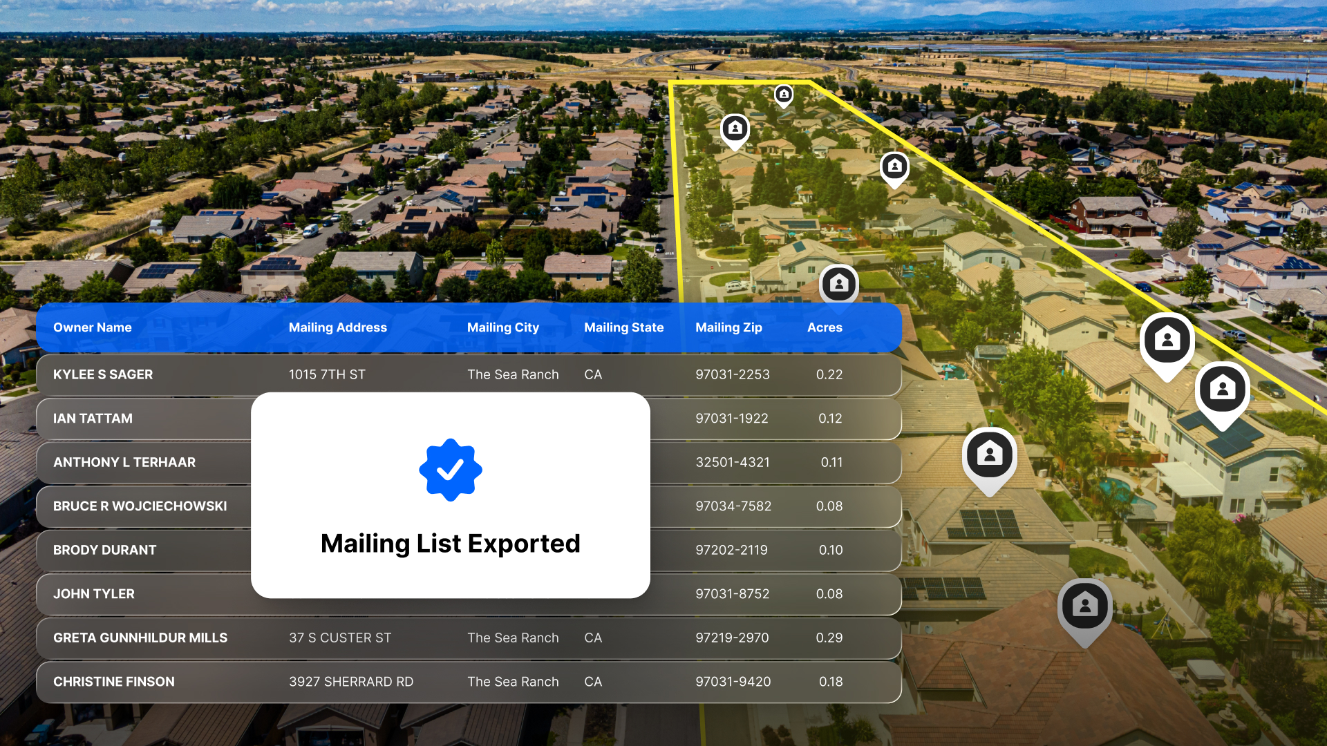

Explore Private Parcel Data & Property Boundaries
Download the Land id app and try for free.


