


Simplify Your Project Planning With Interactive, Detailed Maps
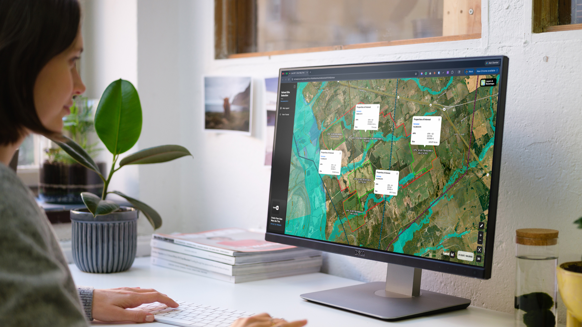
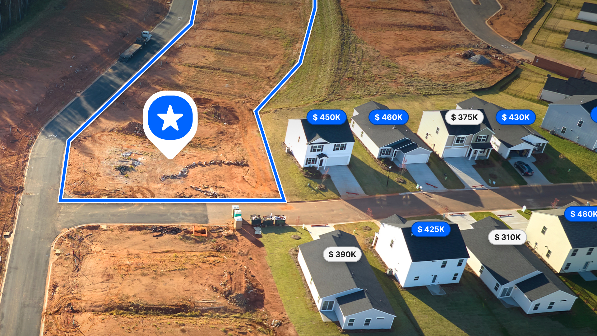
Homebuilders are constantly seeking innovative tools that will help them identify and evaluate potential properties for future development. Land id® is a revolutionary and versatile land-mapping product that developers like Hurdle Land & Realty are currently leveraging by: utilizing private property owner data, highlighting track land owners, analyzing suitability for future development through overlays, considering school districts, and employing intelligent databases to track properties and competitors within their own neighborhoods.
Chamber Road TH Project Map
With Land id®, Geoff Hurdle is able to mark points of interest, define water features, overlay development sketches, add photos, and further customize his maps with relevant icons and labels to ensure that partners, investors, and future residents will be able to understand the important elements of the land.
Leeville Pike and Dawson Lane TH Project Map
Our platform also offers users like Hurdle Land & Realty a wide range of basemaps and overlays, including satellite imagery, school districts, zip-codes, parcels, and topographical maps, giving them the flexibility to choose the most appropriate view for their needs.
My main concentration is single family and multi-family residential development tracts. Not many around my market do just this. Only a few that I know around here are using Land id®. For me, it is my main tool. When a client sees it, it sort of proves to them that I not only know what I am doing, but it proves that I know what they are looking for. I spent 25 years as a developer. So I speak their language. I can translate those wants and needs to a singular map, send it to them and they get to use it with their team. It produces more questions. This gets the deal moving and keeps the phone ringing!”
Geoff Hurdle, Hurdle Land & Realty
Empower Your Land Mapping and Property Exploration With Land id®
We understand the unique challenges that come with mapping land and finding property information, and we are committed to providing you with the resources you need to succeed. With our intuitive platform, comprehensive data sets, and dedicated support staff, we can help you take your land mapping to the next level.
FAQs
Continue Reading
Craig Rowe
Prospecting, Part 3: Find Land Faster
.png)
By Land id
How real estate investors and developers can use Land id to discover and analyze land-buying opportunities in less time.
How to Price Land for Sale Using Comparable Sales Data
By Land id
Learn how to price land using comparable sales. Find, analyze, and adjust vacant land comps to price listings accurately and sell with confidence.

Explore Private Parcel Data & Property Boundaries
Download the Land id app and try for free.
