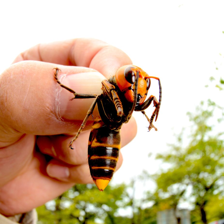
What’s scarier than a hornet? How about a murder hornet. These invasive insects were first spotted in the US in 2019, and they brought with them the potential to devastate our natural environment. However, despite their ominous name, murder hornets aren’t prone to attacking humans — but they are known to kill. Officially named Asain Giant Hornets, murder hornets received this loving nickname due to their tendency to rip the heads from bees and leave their bodies in piles. In a few hours, murder hornets can completely demolish a beehive, presenting a huge problem for humans; bees are an essential player in the production of our food.
Environmental experts knew something had to be done to protect these tiny, yet vital creatures; the hornet nest had to be located and destroyed. To do that, they’d have to utilize the right GIS tools and a swarm of their own — a swarm of “citizen scientists”.
Locating The Nest
The Community
The Washington State Department of Agriculture (WSDA) had several factors working against them. They determined that they had only six months to find a solution before it was too late, and soon after, they realized that they didn’t have the human power necessary for such a large undertaking. So, they turned to the community. The WSDA created a massive public outreach campaign encouraging citizens to aid in their efforts by trapping and reporting any murder hornets they saw - and the campaign was a huge success.
The Technology
The researchers found that a bottle trap with a small amount of orange juice was an effective, easy way for everyday citizens to capture the hornets, but they needed a way to track the locations of these traps. So, they utilized a cloud-based web mapping application. This software allowed citizens to share the exact location, enter information, and receive an identification number for each trap they set out.
The WSDA also created a web-based hornet watch sighting report form. The form allowed citizens to mark the location of possible hornet sightings, add their contact information, and share photos of the insects. Each submission was then added to a web mapping application, where researchers identified the specimen and provided feedback to the individual who submitted it.
To further enhance their data collection process, the WSDA utilized mobile GIS applications. These apps offered reference layers such as county lines, public trap locations, and high-density grids, and an array of other features. The mobile apps were incredibly accurate, worked online and offline, and ensured that the researchers always had the most up-to-date information, allowing them to quickly make decisions at all levels of their organization.
The Outcome
Once the mapping software narrowed down the possible areas where the nest could be located, the researchers moved into the next phase: tracking a hornet back to its nest. The first attempt involved a Bluetooth tracker attached to the hornet’s abdomen with dental floss, which was ultimately unsuccessful. For the next attempt, they went with a radio tracker instead. This time around, they were able to follow the hornet through the brush using a GIS mobile application, where they quickly found the nest hidden inside of an alder tree. Two days later, the nest was destroyed. Thanks to GIS technology and the citizen scientists who used it, a major environmental disaster was averted.
Protecting the Environment With Land id®
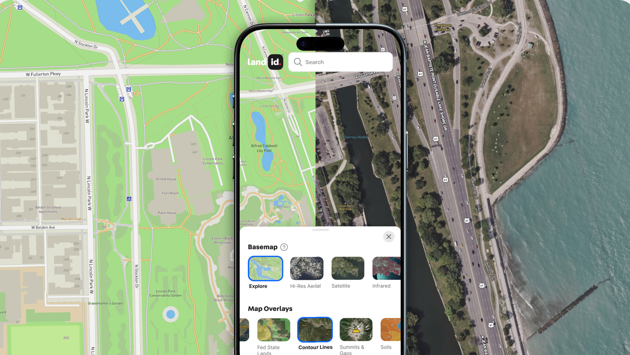
Whether you’re hunting down hornets, locating floodplains on your property, or finding the perfect location for a wind farm, Land id’s (formerly MapRight) GIS technology has everything you need to utilize data for good. Regardless of what industry you’re in, our layered, interactive maps make gathering insights, sharing information, and visualizing your findings a breeze. Sign up for your 7-day free trial to get started today!
FAQs

Continue Reading


