


.jpg)
Your buyer drove 45 minutes and is standing at the back of the lot. They’ve seen the photos and the map. Now they want to know what neither makes clear: Why does that corner sit lower? What does “usable acreage” mean for their plans? What should they check before making an offer?
You can find the data and talk them through it. But after the showing, can they take that explanation with them?
That’s what real estate storytelling is all about: connecting property data to buyers’ questions and giving them a clear way to revisit and share what they’ve learned.
The Problem: Your Data Edge Is Gone
Data fluency used to separate the prepared agent from the unprepared one. That separation is getting smaller.
Every residential agent today has access to the same stack. The same MLS pull. The same FEMA floodplain data. The same satellite imagery. The same county parcel records.
Access to data is great. But the downside is that showing up with basic maps and comps printouts puts you in exactly the same category as the agent who came through yesterday.
Part of it is how clients come to the table now. Buyers have already done their research. They've looked at satellite view. They've street-viewed the neighborhood. Now they’re using AI to answer questions.
They show up less blank than buyers used to, which means laying out publicly available data in front of them isn't proving your value the way it used to.
The seller sitting across from you doesn't care how much data you walked in with. They care whether you understand their property better than anyone else.
What separates agents now is who can make the information mean something to the person sitting across from them.
The Land id: A Property Story You Can Put in Their Hands
.jpg)
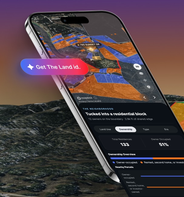
The Land id is built for that moment.
It takes Land id’s parcel and geospatial (map) data and analyzes it as a plain-language narrative with simple data visualizations tied to where the data lives on the map.
Here’s what The Land id looks like when you share it.
Now that’s real estate storytelling.
Terrain, water features, floodplain, buildable area, neighborhood character, written as a story you can hand to someone. The slope in the backyard is no longer a topography layer you have to interpret. It's a prompt to look more closely at the grade, nearby water features, and what those details could mean for the buyer's plans. Neighborhood data becomes context a buyer can explore before they've left the couch.
You can get The Land id from the parcel card, one tap from the address you just searched. Every insight shows up three ways: written in plain language, marked on the map where it happens, and charted in a graphic so a buyer can read and see the answer at the same time.
For potential buyers, The Land id link travels fast. A buyer who loved the property sends it to their partner who couldn't make the showing. A parent helps their kid decide. Someone looks it over before the offer goes in. The property holds up the conversation in all of those directions without you having to be in all of them.
You stop narrating 2D images and static maps. They have a story they can instantly understand, return to, and pass along.
Bring the Story Into an AI-Powered Virtual Property Tour
Where The Land id is a quick-share link that goes beyond the generic listing page, Land id’s virtual Property Tour carries the AI Insights narrative into a walkthrough slideshow tour you can customize, brand, share, and embed.
Each Property Tour slide can bring relevant AI Insights into the experience, guiding viewers through the property one theme at a time. That gives a seller agent something more useful than another stack of listing materials: a way for buyers to explore the property story themselves.
How to Use AI Insights in a Listing Presentation
The listing presentation is the most visible moment.
Two agents came through before you. They brought comps, a slideshow, and the same data everyone else pulled.
You come in with The Land id pulled up on the property. Terrain, water, neighborhood character, written out as a narrative and visible on the map. You can show the seller what you've learned, ask where their experience adds to the picture, and explain how you'll help buyers understand the full property story.
If you're building the rest of your pitch, see our guide to real estate listing presentations.
Share the Property Story Before, During, and After a Showing
Where the story shows up for a showing:
- Before the showing: Text The Land id before your buyer gets in the car. They can explore from their couch and arrive with better questions and less time covering ground they could have covered from home.
- During the showing: The conversation starts further along because they've already seen the property through a narrative, not just photos. Walk the property together and check how the mapped information compares with what you're seeing on site.
- After the appointment: One link replaces the usual screenshot thread and voice memo. The map is still there, now with a narrative someone can follow and pass along. Their spouse can open it. Their contractor can open it. Their lender can open it.
You don't have to be on every call explaining the same property from the beginning.
A Better Way to Show What You Know
The residential market doesn't reward the agent with the most data. It rewards the agent who makes the buyer feel certain and the seller feel understood.
The buyer wants to know what they might have missed. The seller wants to know how you'll communicate the property's value when they aren't in the room.
Every agent can show up with comps. Not every agent can hand a buyer a story they can follow or give a seller a clear picture of how that story will reach buyers.
The AI Insights you find in The Land id isn't a survey, a legal description, or an engineering opinion. It's a starting point grounded in trusted data, so you save confirming the specifics for properties you know will fit the bill.
Open a parcel. Get The Land id. See what the property becomes when someone can follow the story behind it.
FAQs
See AI Insights In Action
Get the full story of any property nationwide with Land id AI Insights.
Continue Reading
Craig Rowe
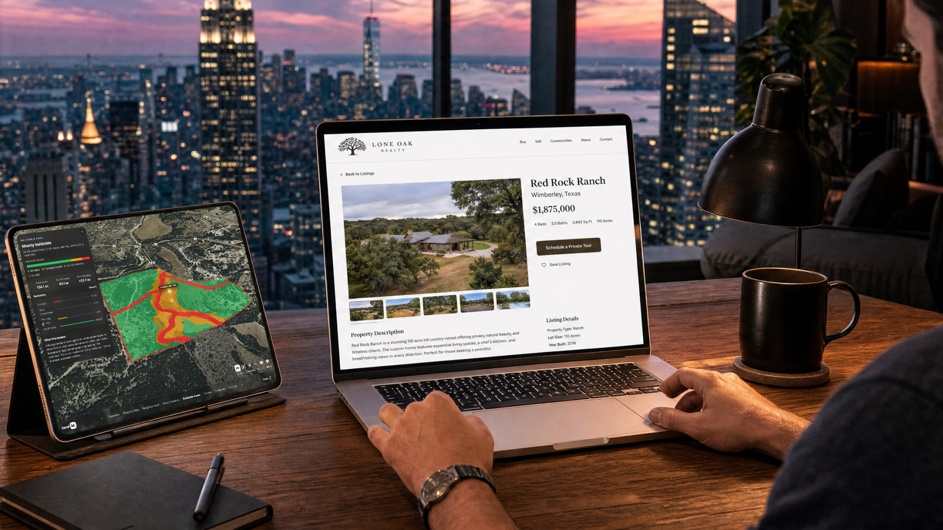
How to Work With Out-Of-State Buyers: Tips for Real Estate Agents


By Land id
Agents in emerging markets will benefit from an influx of aspiring buyers. Get tips on how to make the most of these potentially lucrative leads.
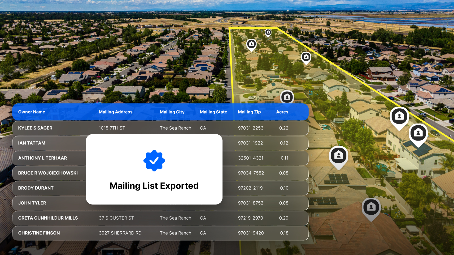
Absentee Owner Lists: What They Are, Why They Convert & How to Get Them
By Land id
Absentee owner lists are one of the most reliable ways to find off-market opportunities before your competition does. Here's how to do it in Land id.

Explore Private Parcel Data & Property Boundaries
Download the Land id app and try for free.


