Have you ever driven past an empty lot or a fixer-upper and found yourself wondering, “Who actually owns that place?” Maybe you’re an investor searching for your next opportunity, an agent doing fact-finding diligence for a client, or curiosity simply got the best of you.
There are various ways to find out who owns a house, building, or piece of property, thanks to online public databases and property research tools. Below, we’ll walk through the top six ways to uncover property ownership information, from how to quickly do it in Land id to traditional records searches and some alternative methods you may not have considered.
Main Takeaways
- The best way to find out who owns a property depends on your objective and how much time, money, and effort you want to spend on finding out.
- For the fastest, most comprehensive results across all 50 states, you can use Land id to search using what you know already: address, parcel number (APN), latitude/longitude, owner name, and more.
- Public records, online county databases, property search tools, real estate agents, or direct engagement with neighbors/residents are alternative methods with various time and cost considerations.
Why Look Up Property Ownership Information?
Understanding your purpose will help you choose the most effective search method.
Real Estate Transactions
Agents, investors, and buyers need owner information to initiate contact, make offers, and conduct due diligence.
Legal or Title Matters
Attorneys, surveyors, and title companies rely on accurate ownership records for disputes, inheritance cases, boundary issues, and foreclosure actions.
Government or Regulatory Needs
Agencies use ownership data for tax assessments, zoning enforcement, and land-use regulation.
Personal Curiosity
Sometimes you simply want to know who owns the vacant lot down the street, the old home in your neighborhood, or a property with family history.
6 Ways To Find Out Who Owns a Property
1. Use Land id's Search Feature
Whether you’re a real estate agent, developer, or just curious about the land, Land id is an easy, efficient, and affordable way to research almost any property in any U.S. city, county, or state.
Benefits of Using Land id for Property Searches
- Nationwide coverage: Unlike limitations imposed by local search options, Land id includes nationwide coverage, so you can search for properties across all 50 states from any device, anywhere.
- Everything in one place: Land id eliminates the need to cobble together various sources of data.
- Flexible search options: Land id offers a user-friendly interface with multiple search options. Simply enter the property's address, property ID, or even the owner's name (if known) into the search bar.
- Instant results: Unlike time-consuming traditional methods, Land id delivers in-depth results instantly.
- Comprehensive data: Access current ownership details along with property characteristics such as square footage, building type, and zoning information; and due diligence data like floodplains, nearby power stations and transmission lines, internet availability, water access, and more in a single platform.
Here’s how you find property ownership information in Land id:
- Using Land id’s Smart Search, enter the information you have—address, parcel data, lat/long coordinates, or owner name.
- Click on a search result to pull up detailed parcel information.
- From here, you can explore deeper property details with 40+ data overlays—everything from transmission lines to floodplains to school districts and more. This is critical data for land planning, risk mitigation, property prospecting, and land development.
Learn more about property data and ownership search options available on Land id.
2. Consult Public Records

Traditionally, property ownership details have been documented in public records housed within local county recorder's offices. Public records generally include the property owner’s name, legal description, parcel number, and sometimes recorded transfer history. Additional details, like assessed value or square footage, may be available through the county assessor’s office.
Accessing Public Records
To access these records, you'll often need to visit the county office in person.
- Visit the appropriate county clerk's office or city government office in person.
- Locate the land records department or public access terminal (sometimes called a cadastral).
- Search by property address, legal description, or owner name (if known).
Limitations of Public Records Search
- Time-consuming: Public records are like buried treasure—valuable, but require some digging. Visiting county offices often means waiting in lines and sifting through mountains of paper. It can be a lengthy process, especially if you're researching multiple properties.
- Limited accessibility: Just like your schedule, government offices have limited hours, typically closing on weekends and evenings. This can be inconvenient if you work a full-time job or have a busy lifestyle.
- Not always up to date: There can be a lag between a property sale and its information being updated in the system. This means you might not be getting the most recent ownership details.
3. Use Online County or City Websites

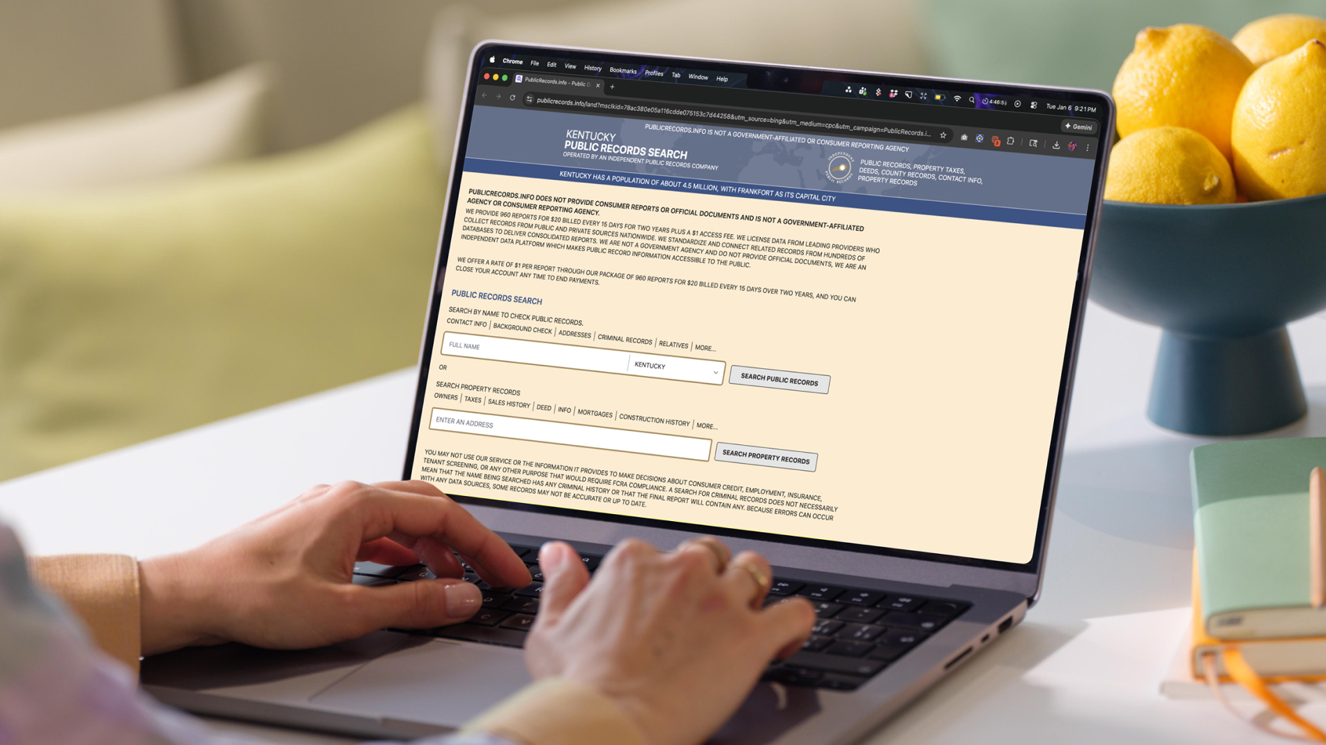
Fortunately, many county and city governments offer online access to property ownership information. This significantly improves accessibility, allowing you to search for details related to property owners from the comfort of your own home.
Benefits of Online Records
- Convenience: No long drives, parking hassles, and waiting in line. Online property records allow you to search for property ownership details from the comfort of your home or office.
- Accessibility: Unlike physical offices with limited hours and days of operation, online records are accessible any time, day or night.
Limitations of Online Records
- Region-specific: If you’re looking for property data from multiple cities, counties, or jurisdictions, you will likely have to use multiple record websites with multiple user interfaces for each type of data you are looking for.
- Regional inconsistencies: Some counties offer information with user-friendly interfaces, while others might have limited details available or clunky, outdated interfaces that can make searching frustrating.
- Data update frequency: While many counties strive for prompt updates, there can be a lag between a property sale and the information reflected online.
4. Search Real Estate Listing Websites
If you’re seeking property details beyond owner name, commercial real estate websites offer a compelling alternative.
Benefits of Real Estate Listing Websites
These platforms provide a wealth of information beyond just who owns the property. Here's what you can typically expect to find:
- Property characteristics: Learn about the property itself, including square footage, building type, zoning information, and even the number of stories.
- Market insights: Access valuable data such as recent sales prices, current rental rates, and property tax information to help you gauge the property's market value.
Limitations of Real Estate Sites
While offering a convenient alternative to public records, real estate websites come with their own limitations:
- Privacy limitations: Although you may find extensive property features and historical sales data, real estate search sites don’t typically disclose owner names and contact information for privacy reasons.
- Accuracy and timeliness: The accuracy and timeliness of ownership information can vary depending on the platform and how diligently it updates its data.
- Registration or subscription fees: Accessing detailed property data, including ownership details, may require registration or even a paid subscription, which can be cost-prohibitive for casual users.
- Sell-side focused: These sites typically contain data that is useful for selling a property, but not always data that a potential buyer needs. Buyers will still need to perform due diligence outside of these websites.
If you're involved in a real estate transaction or frequently require detailed property information, subscribing to a reputable real estate sales website can be a worthwhile investment. However, alternative methods might be more suitable for searches and performing due diligence; most listing data is provided to help sell a property, not always to inform the buyer of any issues.
5. Talk to a Real Estate Agent
Real estate professionals are like detectives of the property world, and their access to valuable resources can be a game-changer in your property ownership search process.
By collaborating with a real estate agent, you get access to:
- Current and past owner information through listing services and other resources.
- Insights gleaned from the agent's local market knowledge and network.
- Professional guidance on navigating the legalities of accessing property ownership information.
Agents also have access to additional resources that are not publicly available, such as the Multiple Listing Service (MLS), a large database with details about properties available for sale or rent. While primarily focused on active listings, the MLS can also include historical data with past ownership details. This can be particularly helpful if you're interested in a property that was recently on the market.
Moreover, experienced real estate agents often have established networks within the community. They may be able to leverage their connections to find the owner through local contacts or knowledge of the neighborhood. (You might be surprised just how many real estate agents actually use Land id for this purpose!)
6. Talk to Neighbors
By chatting with people who live or work next door to the property, you can get quick answers and information not available anywhere else—especially in close-knit communities where people know their neighbors.
Benefits of Direct Engagement
- Immediate answers: People who live or have lived in the neighborhood can give you instant answers about the property.
- Insider information: Locals may know crucial details on current or previous tenants, even if it's not recorded anywhere else.
Limitations of Direct Engagement
- Privacy concerns: Neighbors may be reluctant to share information.
- Limited knowledge: Sometimes, neighbors simply don’t know the owner or have helpful details to share.
- Variable availability: If people aren’t home, they can’t share what they know.
- Variable success: Not everyone is comfortable with unexpected visitors. Be prepared to accept a simple "I don't know" or a decline to answer. Thank the person for their time, regardless of the outcome.
Get Started With a Property Owner Search
There are a variety of ways to find out who owns a property, from public records and county websites to agents and direct engagement with neighbors. The best method depends on how much time you have and how deep you need to go.
If you want fast, reliable results without juggling multiple tools, Land id brings ownership data, parcel details, zoning, and key due diligence layers together in one nationwide platform.
Start a free Land id trial to quickly identify property owners and understand the land behind the address, all in one place.
FAQs
How can I find the owner of a property for free?
You can consult public records, visit the county assessor’s website, or use online property search tools. These methods often provide basic ownership information at no cost.
What information do I need to search for a property owner?
Typically, you need either the property's address, the owner’s name, or the APN number. With this information, you can search public records, use online tools, or consult a title company.
Can a land surveyor tell me who owns a property?
Land surveyors specialize in measuring property boundaries, identifying encroachments, and certifying lot dimensions. They don’t determine or confirm legal ownership, but can help resolve boundary-related disputes that may arise between property owners.
Are online property search tools reliable?
Many online property search tools draw from public records to provide basic ownership and parcel data. Reliability and update frequency vary depending on the county’s data systems.
Continue Reading


