AI Insights that deliver the right answers about any property nationwide.
Get ownership data and parcel boundaries for any property in the U.S.
Create virtual property tours that help you market better and sell more.
Create, manage, and share maps to keep property projects moving forward.
Webinars, demos, and docs to get started with Land id fast.
Documentation for account support, product tutorials, billing, and more.
Hire a Land id pro mapper for any project, from ranches to data centers to stadiums.
Industry trends, product tips and tricks, and Land id company news.
See Land id maps and tours made by real users.
Unlock revenue for MLSs, realtor associations, brokerages, and software products.
By
By Land id
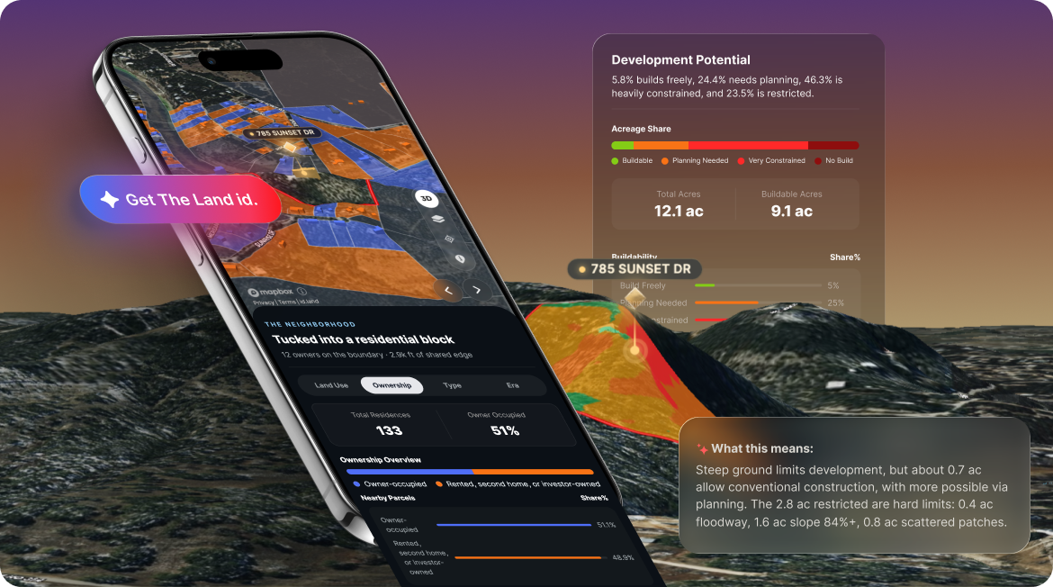
Introducing The Land id, our new AI-powered property insights that turn property data into the right answers for any property in America.
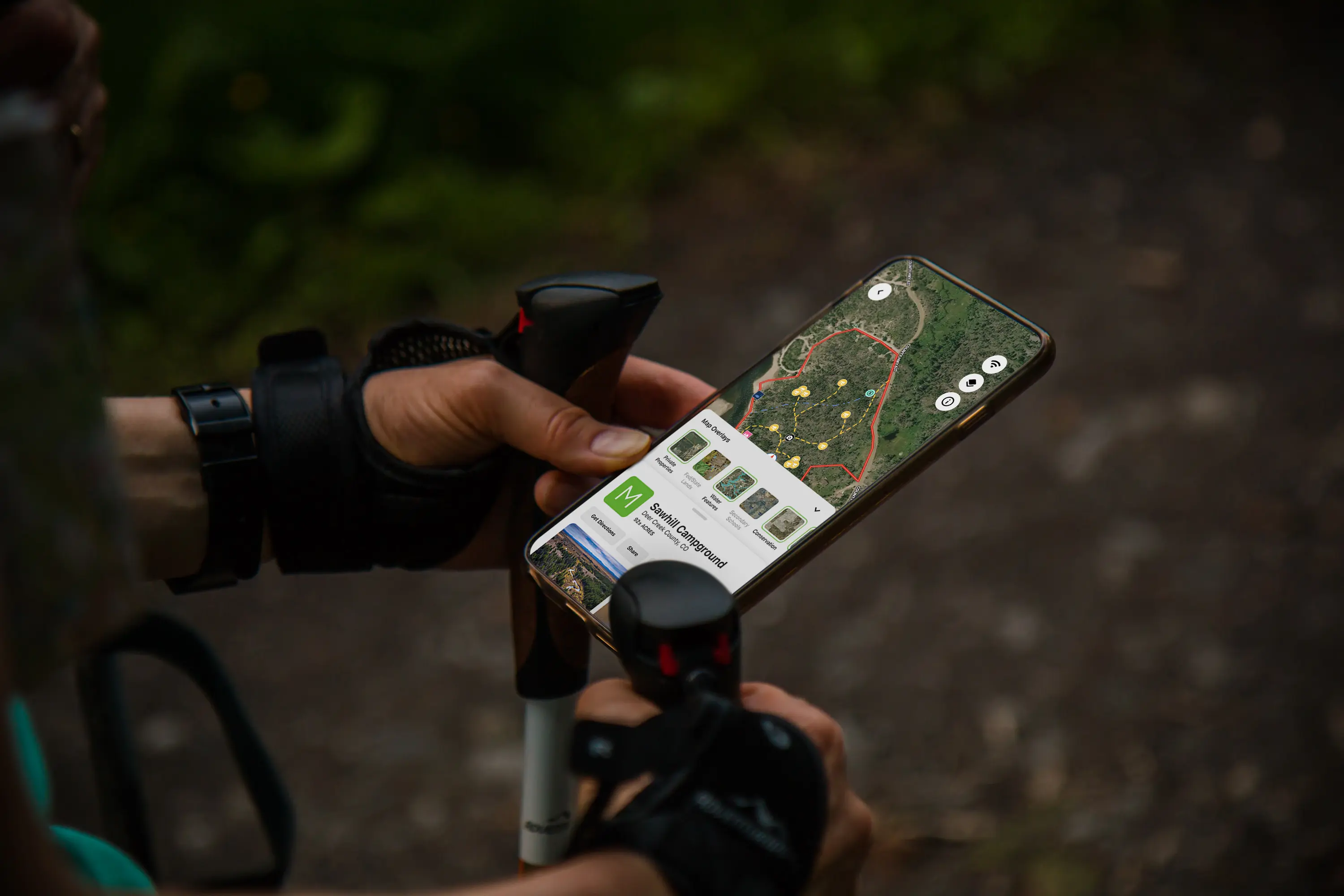
No matter the industry, mobile technology is not just an accessory, it’s a necessity.
Land id® (formerly MapRight) is a custom mapping platform that makes it unbelievably easy to produce industry-specific, professional-quality maps. It’s great for land owners and managers, oil and gas drill site managers, and land brokers and agents.
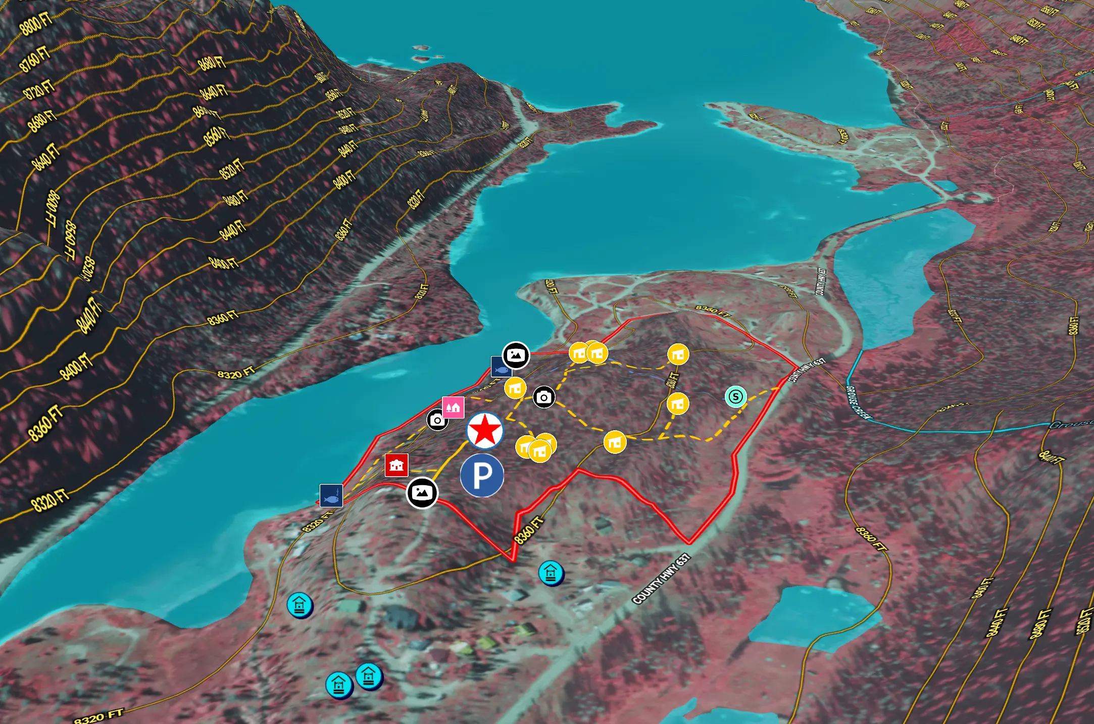
In real estate, value isn’t just about where a property sits—it’s about the location of features and amenities, too!
Sorry, we don't have any articles that match your search. Try resetting your filters.

Download the Land id app and try for free.