When a family decides to sell a ranch that's been theirs for generations, the listing can't be generic. This one—11,475 acres in northeastern Colorado—needed a map that could communicate the full scope of the property, identify every building and improvement, and give out-of-state buyers enough confidence to engage.
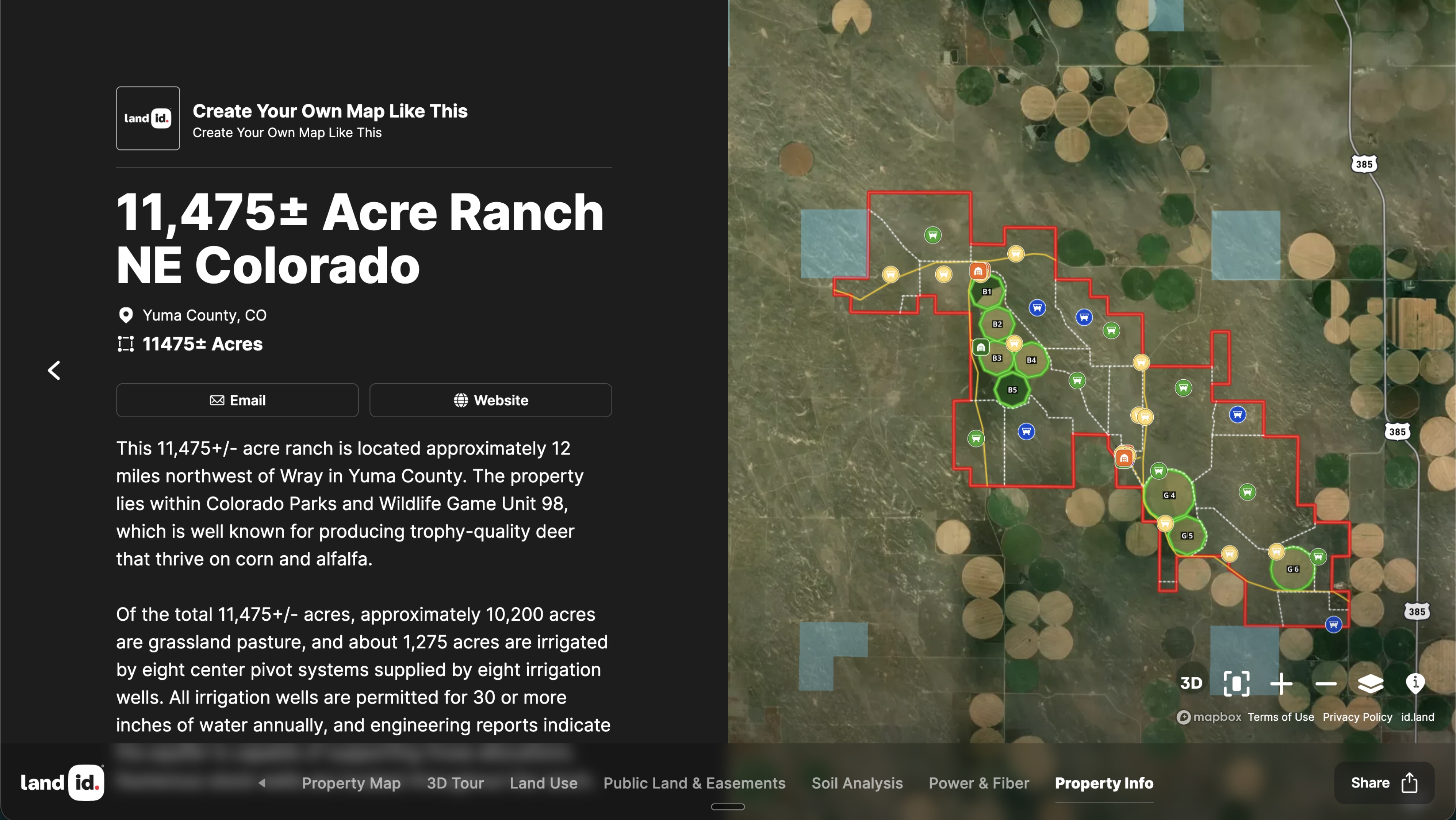
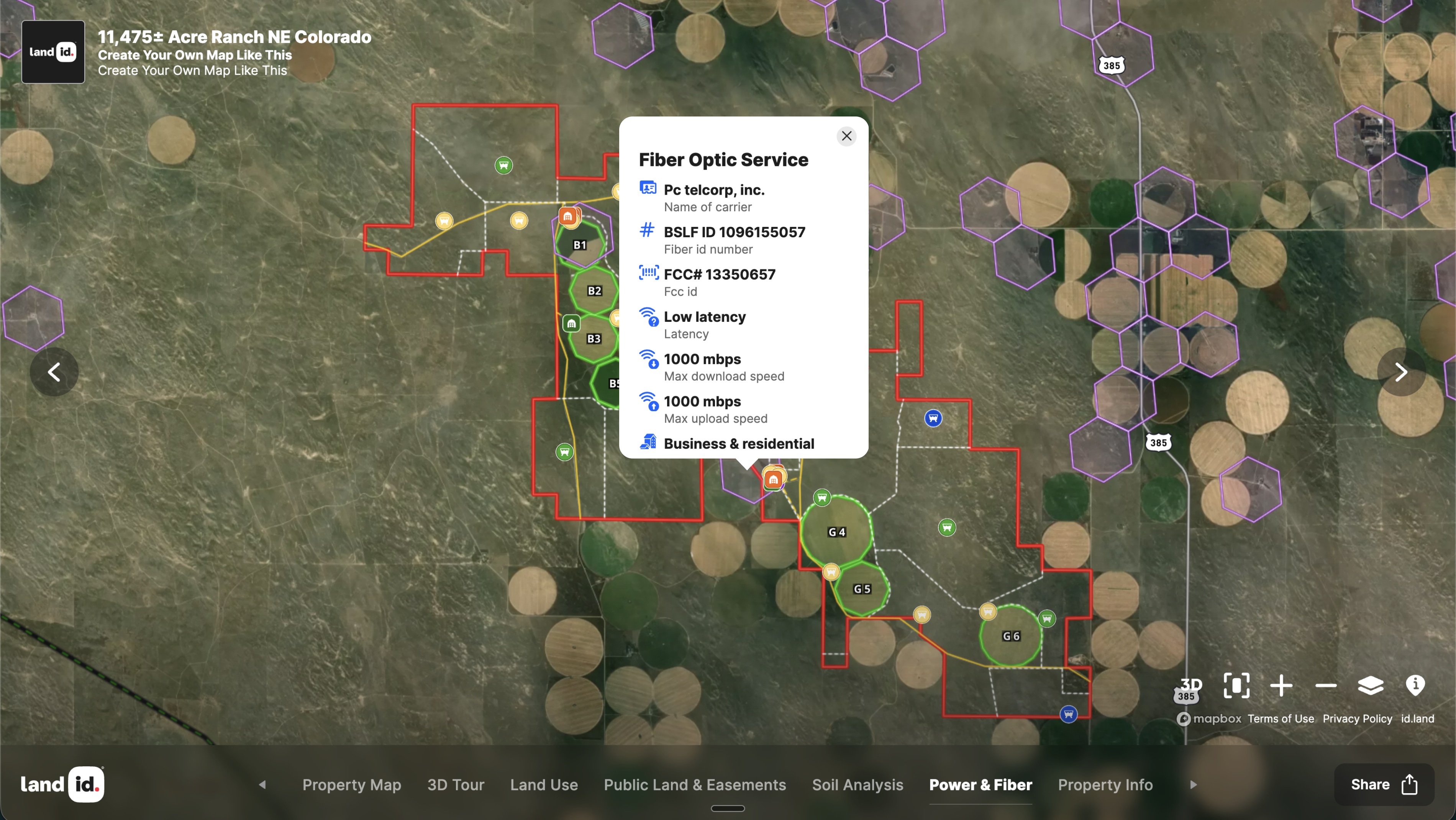
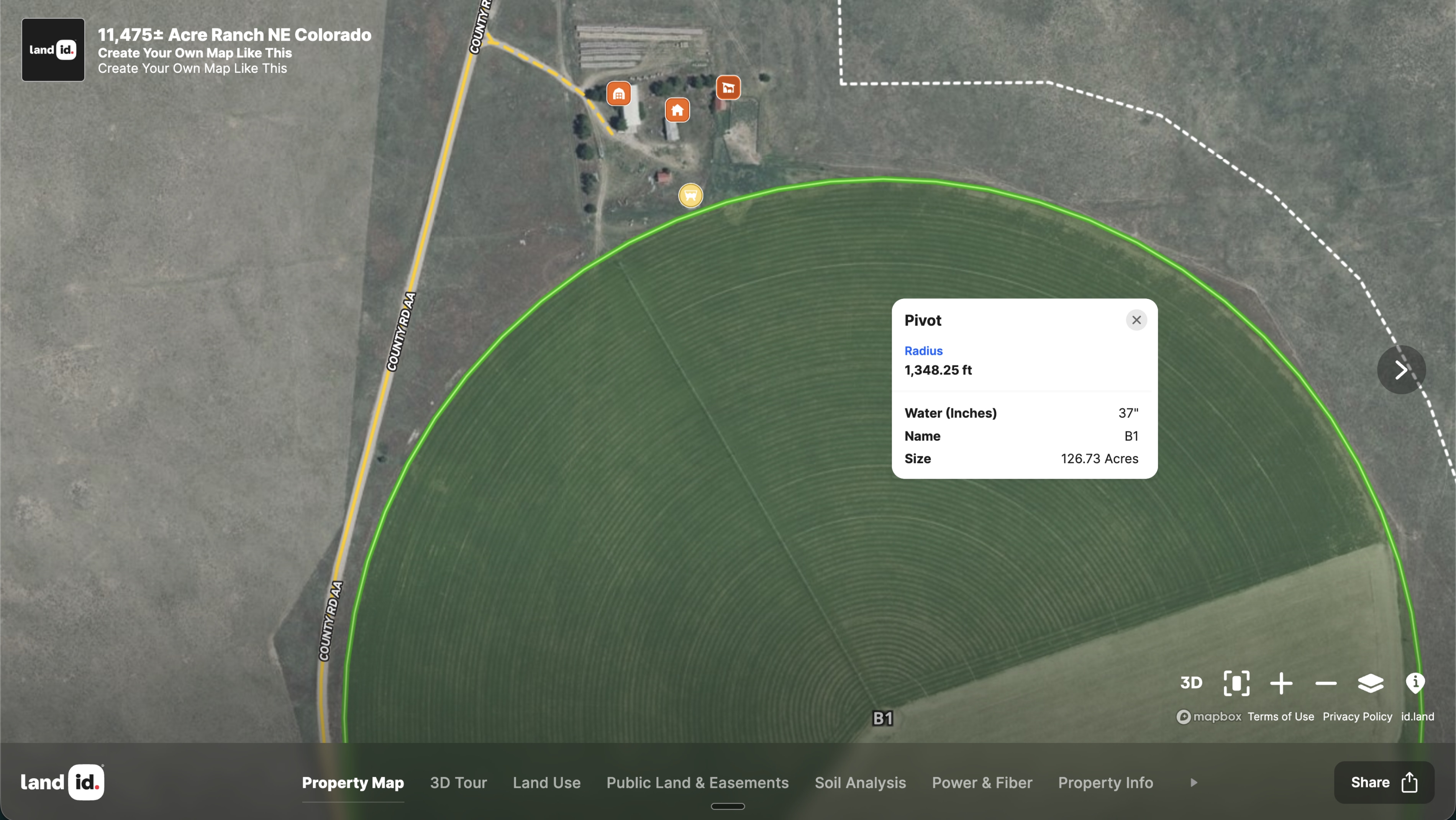
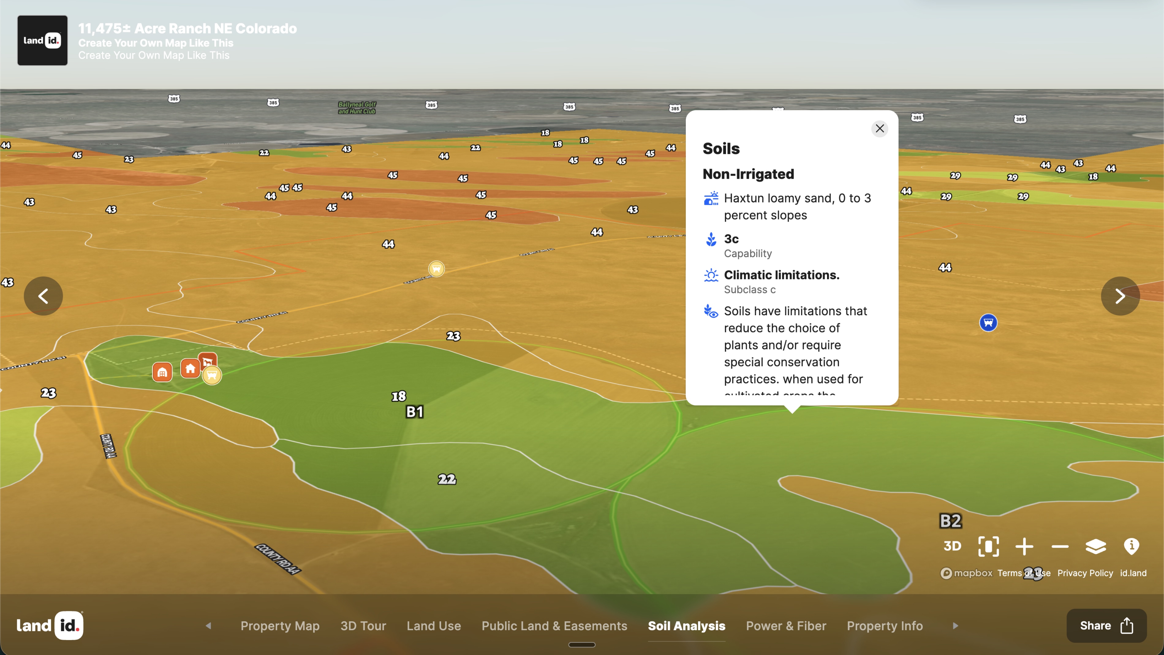
Les Gelvin of Agri-Enterprises, Inc. hired Land id's Mapping Services to build that map. The result clearly shows the ranch's boundaries, pivot locations with detailed attribute pop-ups, building clusters with labeled identifiers, and adjacent public lands—all in a format that works as well on a phone as on a desktop. The Public Lands overlay provides critical context for buyers evaluating grazing access and recreational potential.
Les described the sellers' reaction as, "He's tickled to death at how quickly Land id made the map and how it looks great."
And the market responded. "I quickly got a lot of interest on the property, especially with out-of-state potential buyers," Gelvin said. "The map makes a difference with conveying information."
For agricultural brokers handling large ranches and complex listings, Land id's Mapping Services bridges the gap between a property that's hard to explain and one that buyers immediately want to see. An 11,475-acre ranch is easier to sell when buyers can explore every acre before they ever book a flight.
Learn How to Create a Map Like This
- Land id for land ownership and management
- Quick start: Create and share a map in Land id
- Draw detailed maps by adding items
- Import surveys and site plans with the Georeference Tool
- Federal and state lands overlay
- Manage and visualize data with attributes
- Add labels to maps and mapped items
Take Your Mapping to the Next Level
Mapping is just the beginning. Land id is the #1 tool for researching, discovering, and showcasing land, and we're here to help you make the most of it, every step of the way.