Big Sky, Montana draws buyers for reasons that hold up to scrutiny. Its massive skiable terrain boasts consistent powder, yet stays uncrowded. It sits 50 miles north of Yellowstone. Summers bring hiking, fishing, and access to public land most markets can't offer. And the infrastructure around it, from lodging to dining, is built to match.
For brokerages working this market, the marketing happens in stages. First, sell the region. Once a buyer is sold on Big Sky, the next question is which neighborhood actually fits their goals, priorities, and budget. From there, agents work with clients to hone in on individual listings.
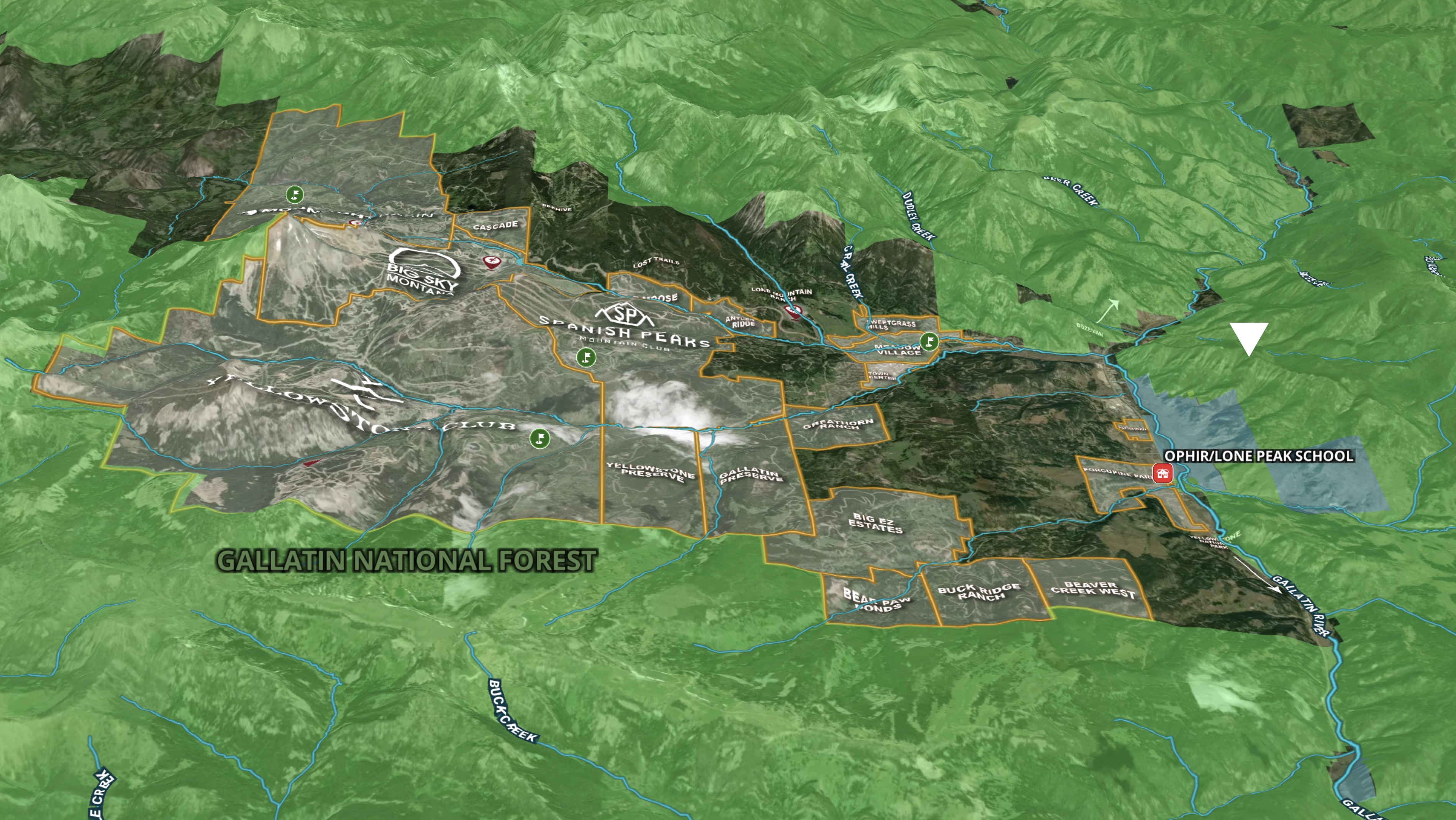
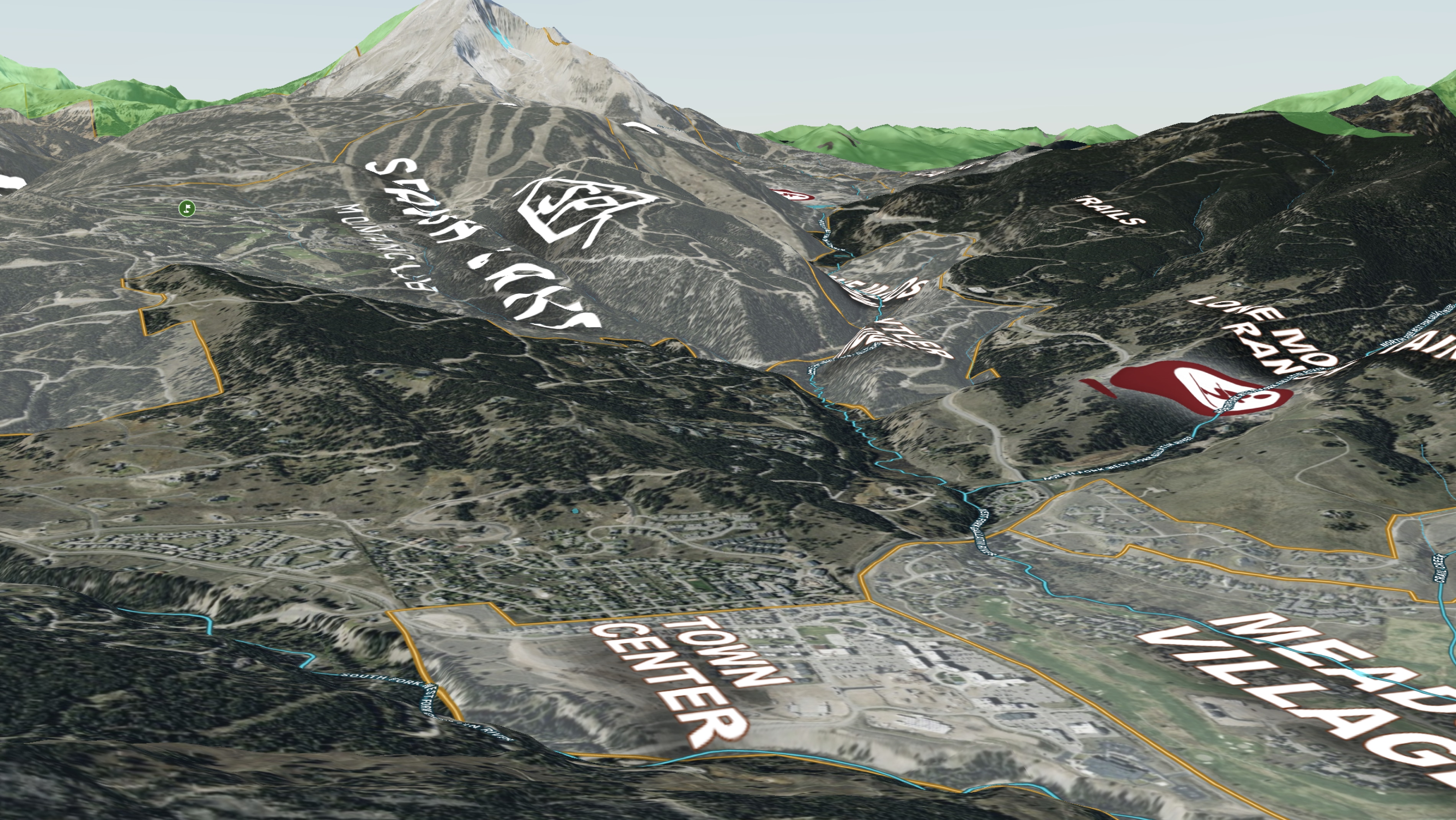
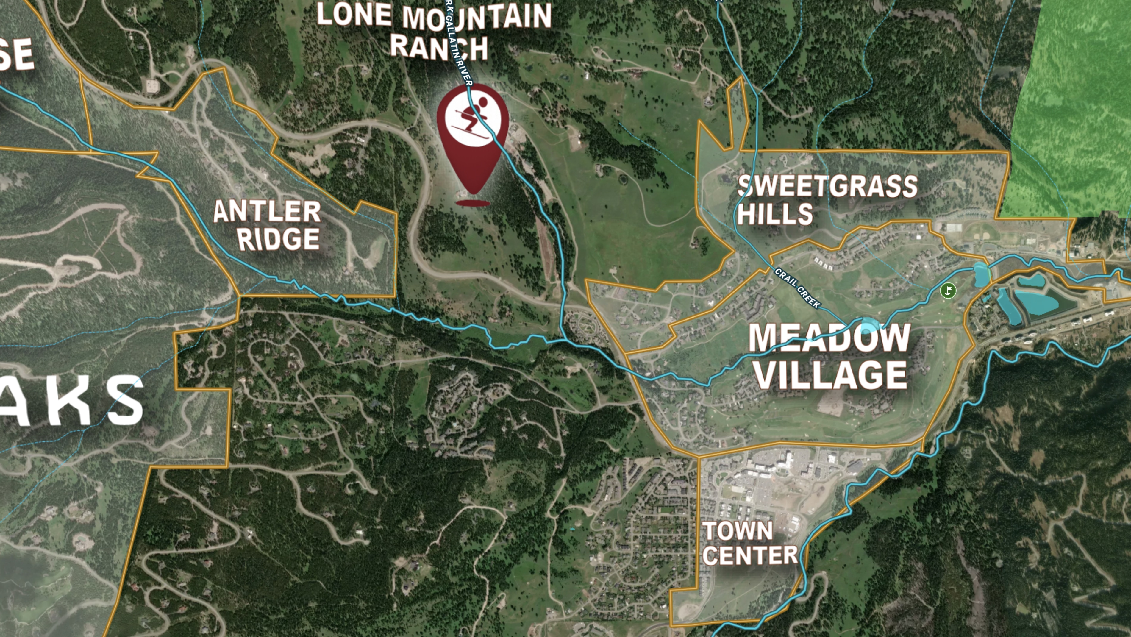
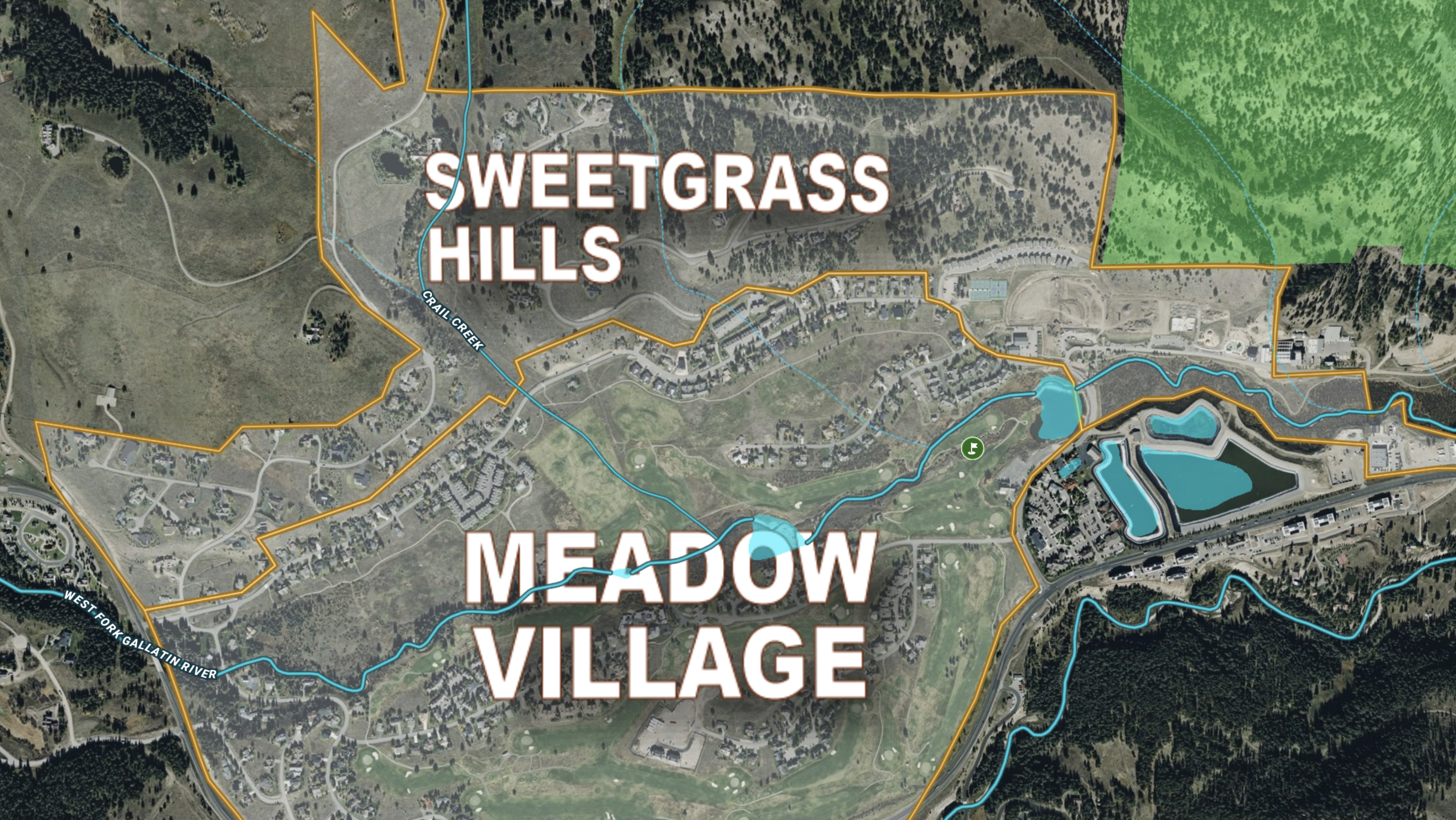
This map of Big Sky’s neighborhoods supports that middle step. Embedded on a brokerage's website, it shows how each neighborhood relates to ski access, town amenities, and the surrounding public land.
For a market this defined by geography, that's a layer an individual property listing page alone can't show.
Learn How to Create a Project Like This
- Land id for Real Estate Agents & Brokers
- Quick start: Create and share a map in Land id
- Fed/State lands overlay
- Create and edit boundaries
- Manage and visualize data with attributes
- Add labels to maps and map items
- Import surveys and site plans with the Georeference Tool
Take Your Mapping to the Next Level
Mapping is just the beginning. Land id is the #1 tool for researching, discovering, and showcasing land, and we're here to help you make the most of it, every step of the way.