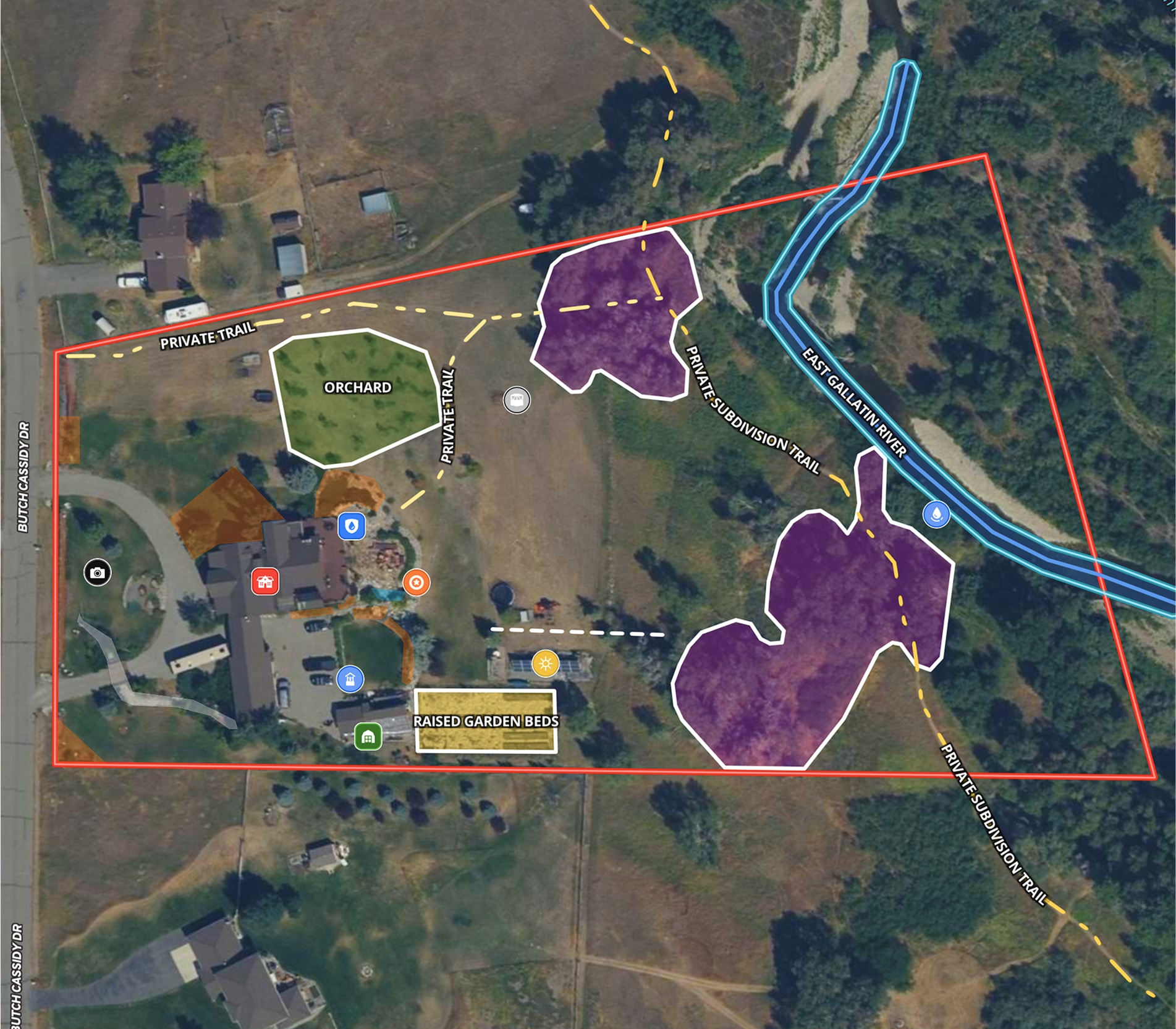
Assess the potential of a timberland property with Land id® tools—like our Infrared Basemap, detailed soil report, Wetlands and FEMA Floodplain Overlays—to see the type of timber and gauge tree growth.
Then plan the infrastructure required to access and extract the timber by leveraging our contours and water-related overlays.
While this map is focused on the harvest potential, you could easily expand your map to highlight recreational opportunities, panoramic views, and potential build sites.
Learn How to Make a Map Like This:
- How to make maps in Land id
- How to change map background with Basemaps
- Contour Lines Overlay
- FEMA Floodplain Overlay
- Wetlands Overlay


Make your first map in 3 min.
Try for freeKeep Exploring
Take Your Mapping to the Next Level
Mapping is just the beginning. Land id is the #1 tool for researching, discovering, and showcasing land, and we're here to help you make the most of it, every step of the way.


