Thank you! Your submission has been received!
Oops! Something went wrong while submitting the form.
000
,
000

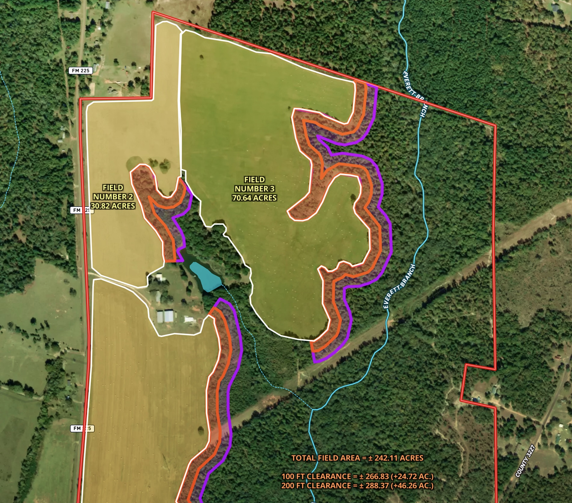
Land Clearing Analysis Map
Land id® GIS mapping software helps landowners visualize field expansion with property maps, buffer zones, and acreage gains—making land clearing plans easy and clear.
Land owner
Land management
Timber
Renewable Resources

Developing & Assessing Timberlands
Maximize timberland potential with Land id®, featuring Infrared Basemap, soil reports, and essential forestry GIS overlays.
Timber
Soil
Listing
Rural
Forestry

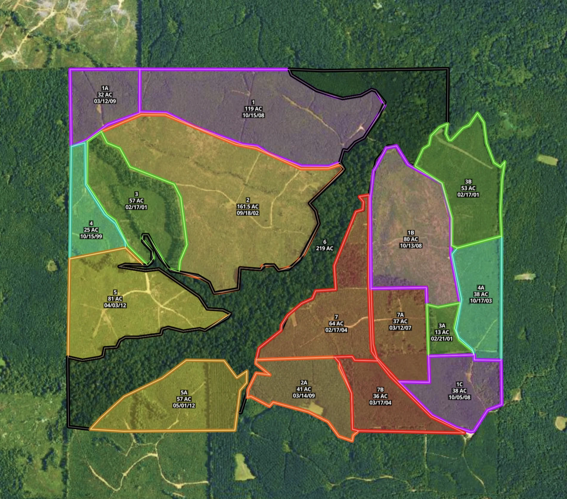
Mississippi Timber Stand Map
Boost your timber sales strategy with Land id®, creating interactive timber maps that highlight timber stand features and access.
Forestry
Timber
Soil
Listing
Rural


